Ifield Mill Pond
Lake, Pool, Pond, Freshwater Marsh in Sussex Crawley
England
Ifield Mill Pond

Ifield Mill Pond, located in Sussex, England, is a picturesque freshwater marsh that serves as a significant habitat for a diverse range of wildlife. Spanning an area of approximately 18.5 acres, this body of water is often referred to as a pond due to its small size, although it is more accurately classified as a lake or pool.
The pond is surrounded by lush vegetation, including reeds, rushes, and water lilies, which provide shelter and breeding grounds for various species of birds, amphibians, and insects. The tranquil atmosphere and abundant food sources make it an ideal haven for wildlife.
Birdwatchers frequent Ifield Mill Pond, as it is home to a plethora of avian species, including kingfishers, herons, ducks, and swans. The reed beds attract numerous warblers, while the surrounding woodland supports woodpeckers and other forest-dwelling birds.
The pond's clear, shallow waters are also inhabited by a diverse array of aquatic life. Fish such as carp, roach, and pike can be found swimming beneath the surface, while frogs, toads, and newts thrive along the marshy edges.
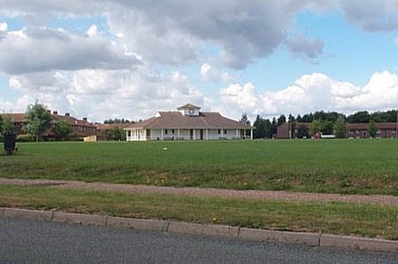
Ifield Mill Pond is a popular recreational spot for local residents and visitors alike. The tranquil setting offers opportunities for fishing, wildlife observation, and leisurely walks along the surrounding footpaths. The pond is also a designated Local Nature Reserve, ensuring its preservation for future generations to enjoy.
Overall, Ifield Mill Pond in Sussex is a small yet vibrant freshwater marsh, teeming with wildlife and offering a serene escape for those seeking to immerse themselves in nature's beauty.
If you have any feedback on the listing, please let us know in the comments section below.
Ifield Mill Pond Images
Images are sourced within 2km of 51.111029/-0.22382094 or Grid Reference TQ2436. Thanks to Geograph Open Source API. All images are credited.


Ifield Mill Pond is located at Grid Ref: TQ2436 (Lat: 51.111029, Lng: -0.22382094)
Administrative County: West Sussex
District: Crawley
Police Authority: Sussex
What 3 Words
///guard.reform.smooth. Near Gossops Green, West Sussex
Nearby Locations
Related Wikis

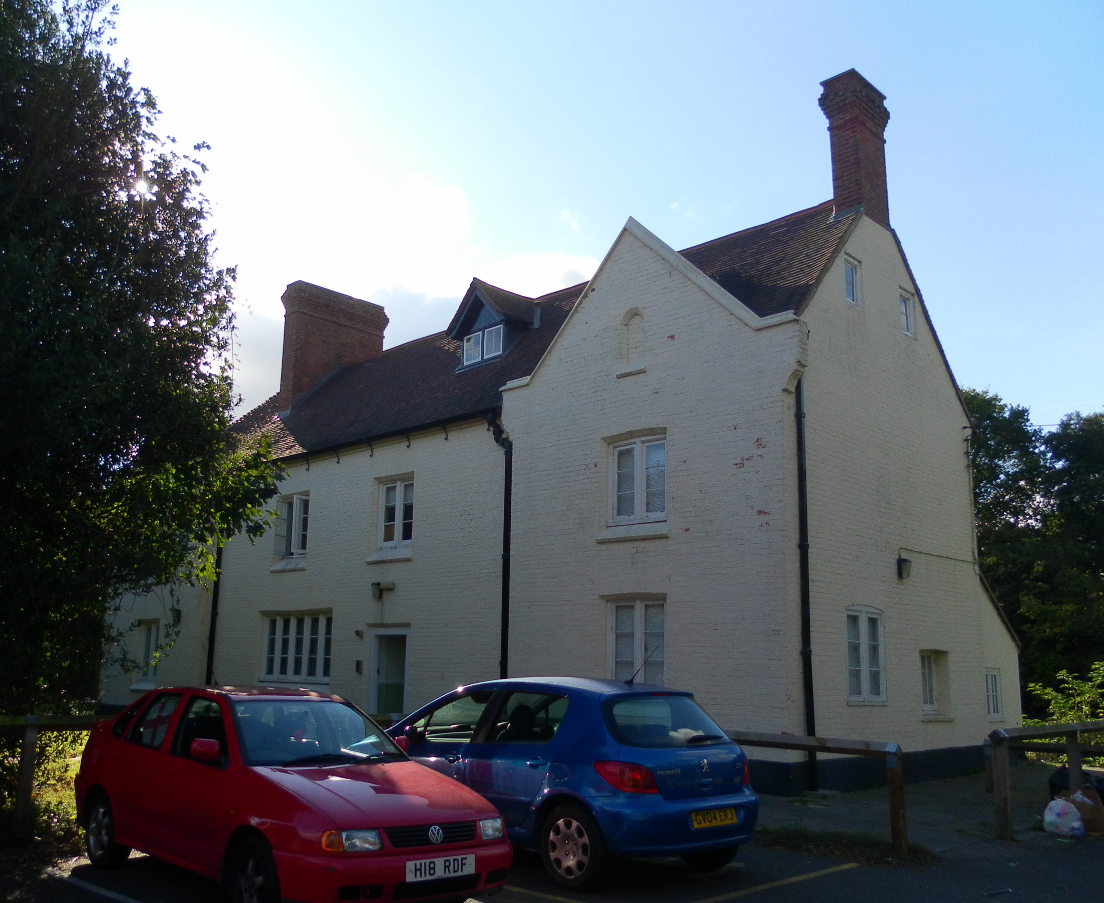
Ifield Water Mill
Ifield Water Mill is a 19th-century weatherboarded watermill in the Ifield neighbourhood of Crawley, a town and borough in West Sussex, England. Built...

Bewbush & Ifield West (electoral division)
Bewbush & Ifield West is an electoral division of West Sussex in the United Kingdom and returns one member to sit on West Sussex County Council. ��2�...
Bewbush
Bewbush is one of 14 neighbourhoods in Crawley in West Sussex, England. Bewbush is located in south west Crawley and is bordered by Broadfield to the...
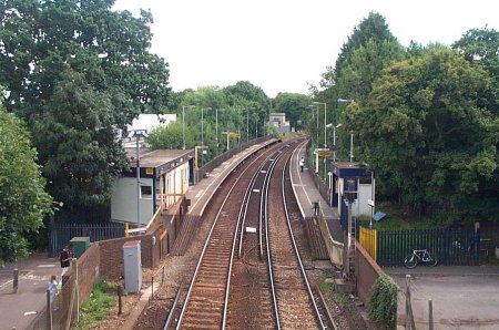
Ifield railway station
Ifield railway station (pronounced 'Eye-field') serves the neighbourhoods of Ifield and Gossops Green in the West Sussex town of Crawley, England. It is...

Gossops Green & Ifield East (electoral division)
Gossops Green & Ifield East is an electoral division of West Sussex in the United Kingdom, and returns one member to sit on West Sussex County Council...

Holy Trinity School, Crawley
The Holy Trinity Church of England Secondary School is a voluntary-aided comprehensive school in Crawley, West Sussex, England. The school has a roll of...
Kilnwood Vale railway station
Kilnwood Vale is a proposed railway station in Kilnwood Vale, Horsham, West Sussex which would serve the neighbourhoods of Kilnwood Vale and Bewbush. The...
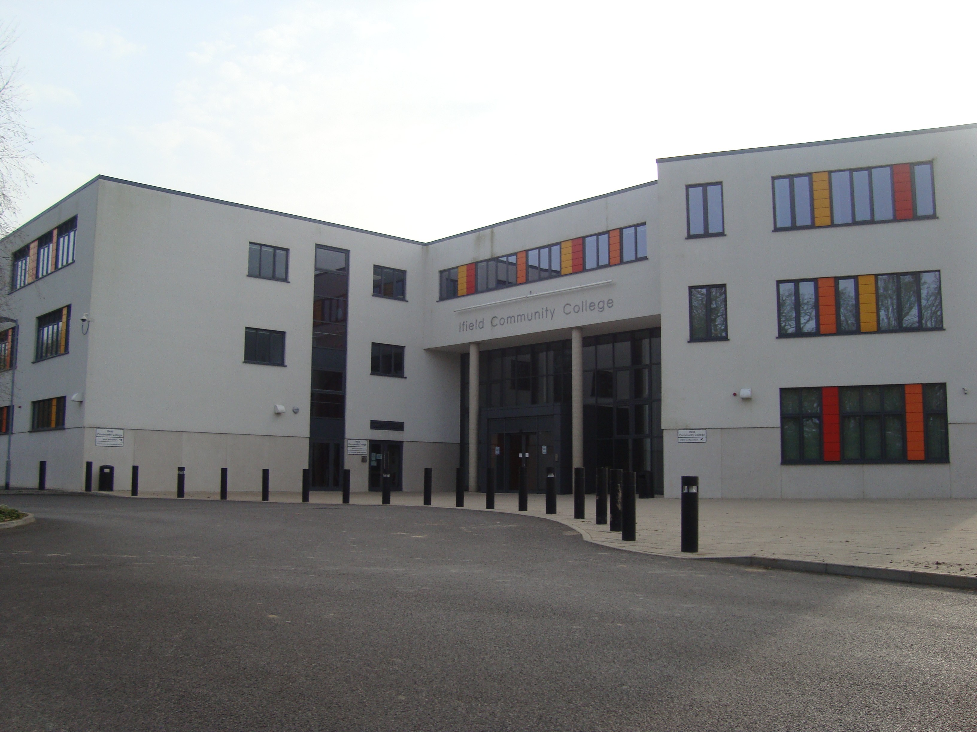
Ifield Community College
Ifield Community College (ICC) is a maintained comprehensive secondary school in Crawley, England, for pupils aged 11 to 18. == Admissions == It caters...
Related Videos


Dragging my friends on a trip to Crawley #visit #pub #travel
DATE OF FILMING MARCH 21ST 2023 The Brewery Shades. Greene King The White Hart pub.

Nearby Amenities
Located within 500m of 51.111029,-0.22382094Have you been to Ifield Mill Pond?
Leave your review of Ifield Mill Pond below (or comments, questions and feedback).