Chestnut Hill
Hill, Mountain in Sussex Horsham
England
Chestnut Hill
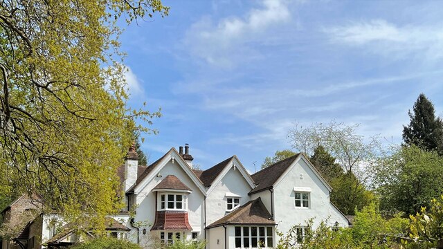
Chestnut Hill, Sussex is a prominent hill located in the county of Sussex, England. Situated in the South Downs, it forms part of the beautiful landscape that characterizes the region. With an elevation of approximately 899 feet (274 meters), Chestnut Hill stands as one of the highest points in Sussex.
The hill is well-known for its stunning panoramic views, offering visitors breathtaking vistas of the surrounding countryside. On clear days, one can admire the rolling green hills, charming villages, and distant coastal areas that stretch along the horizon.
Chestnut Hill is also renowned for its rich natural beauty and diverse flora and fauna. The hillside is adorned with an abundance of chestnut trees, providing a picturesque setting particularly during the autumn months when the leaves change to vibrant shades of red, orange, and gold. This, coupled with the surrounding woodlands and meadows, creates a peaceful and idyllic atmosphere, making it a popular destination for nature enthusiasts and hikers.
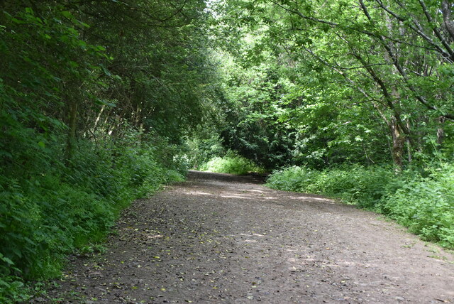
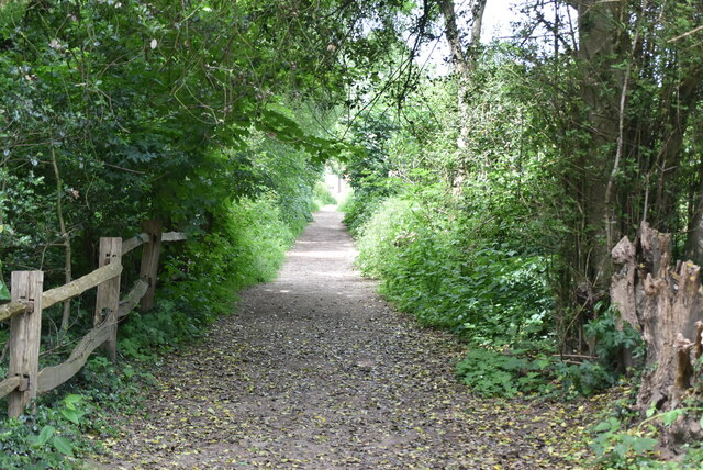
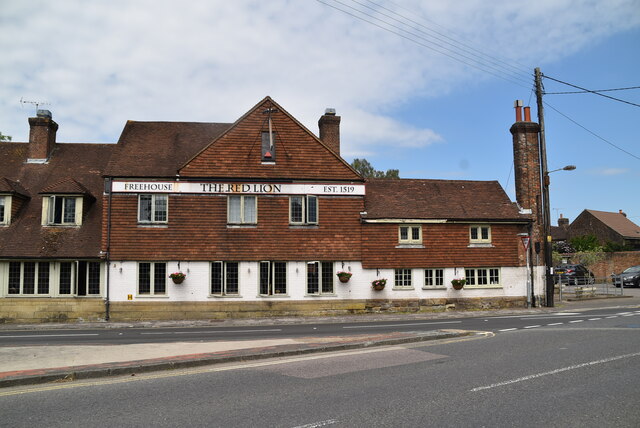
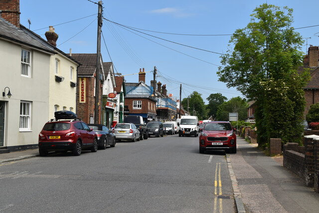
The hill is easily accessible, with a network of footpaths and trails that wind through its slopes, allowing visitors to explore its terrain and enjoy the surrounding countryside. Furthermore, the nearby village of Chestnut Hill offers amenities such as quaint pubs, cafes, and accommodations, providing a welcoming atmosphere for visitors to relax and immerse themselves in the local culture.
Overall, Chestnut Hill, Sussex is a captivating natural landmark that offers a unique blend of scenic beauty, tranquility, and outdoor recreational opportunities, making it a must-visit destination for both locals and tourists alike.
If you have any feedback on the listing, please let us know in the comments section below.
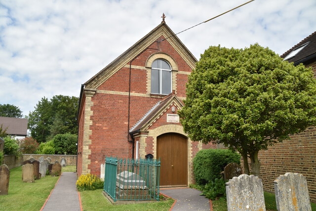
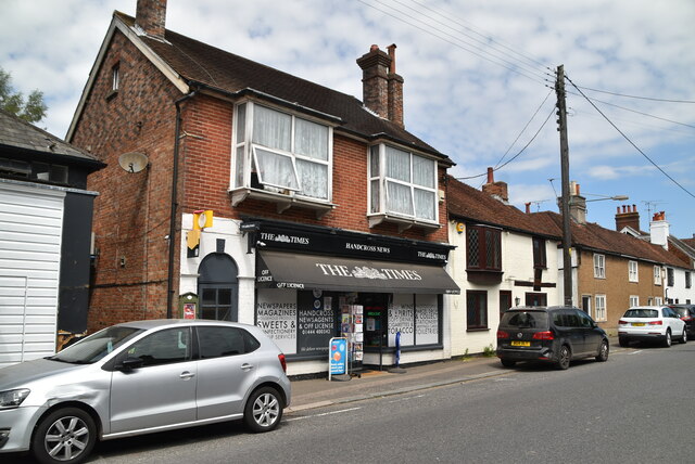
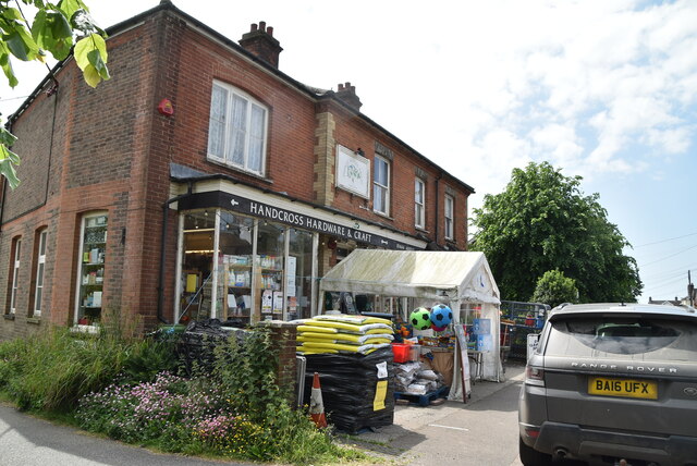
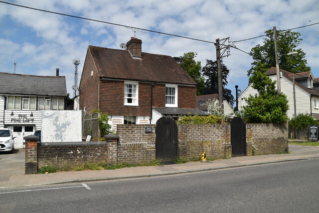
Chestnut Hill Images
Images are sourced within 2km of 51.050141/-0.22468165 or Grid Reference TQ2429. Thanks to Geograph Open Source API. All images are credited.

Chestnut Hill is located at Grid Ref: TQ2429 (Lat: 51.050141, Lng: -0.22468165)
Administrative County: West Sussex
District: Horsham
Police Authority: Sussex
What 3 Words
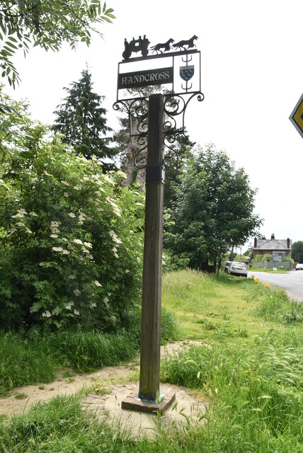
///bloom.reference.voices. Near Handcross, West Sussex
Related Wikis

Slaugham
Slaugham () is a village and civil parish in the Mid Sussex District of West Sussex, England. It is located 7 miles (11 km) to the south of Crawley, on...

Handcross Hill bus crash
On 12 July 1906, a bus crashed into a tree on Handcross Hill in Sussex, England, killing 10 people and injuring a further 26 in the worst road crash in...

Handcross
Handcross is a village in the Mid Sussex District of West Sussex, England. It lies on the A23 road 4.2 miles (6.8 kilometres) south of Crawley. At the...

St Mary's Church, Slaugham
St Mary's Church is an Anglican church in the village of Slaugham in Mid Sussex, one of seven local government districts in the English county of West...

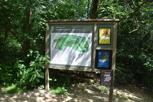
Nymans
Nymans is an English garden to the east of the village of Handcross, and in the civil parish of Slaugham in West Sussex, England. The garden was developed...

Handcross Park School
Handcross Park School is an independent co-educational preparatory school in Handcross, between Crawley, Horsham and Haywards Heath in West Sussex, England...

Cow Wood and Harry's Wood
Cow Wood and Harry's Wood is a 75.5-hectare (187-acre) biological Site of Special Scientific Interest east of Handcross in West Sussex. it is in the High...
Newells Preparatory School
Newells Preparatory School came to Lower Beeding, Sussex, in 1946. It has been at Handcross and known as Handcross Park School since 1968. It merged with...
Nearby Amenities
Located within 500m of 51.050141,-0.22468165Have you been to Chestnut Hill?
Leave your review of Chestnut Hill below (or comments, questions and feedback).