Dann's Pond

Lake, Pool, Pond, Freshwater Marsh in Surrey

England

Dann's Pond
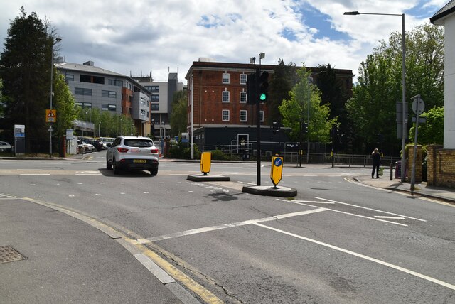
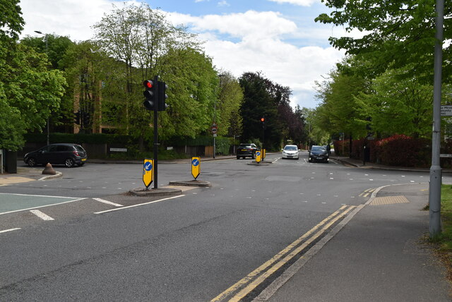
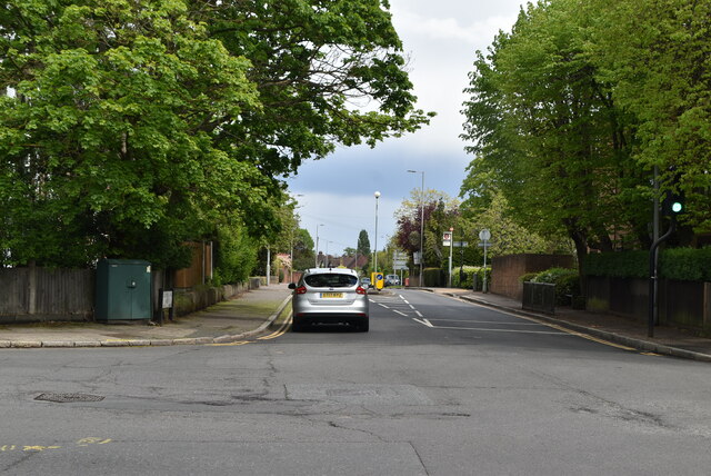
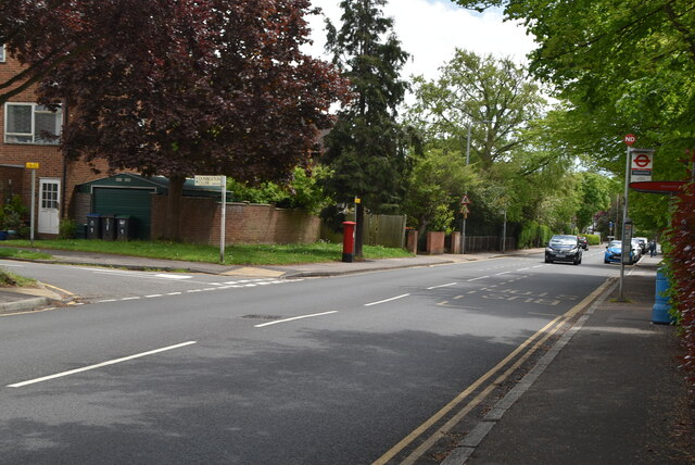
B351, A308 junction The B351 consists of two roads either side of Richmond Park. It runs 4.5 miles from Norbiton <a href="https://www.geograph.org.uk/photo/7213742">TQ1969 : B351, A308 junction</a> to Mortlake.
B351, A308 junction Credit: N Chadwick

Dann's Pond is a small freshwater ecosystem located in Surrey, England. It is classified as a pond, but its size and characteristics resemble that of a small lake. The pond is situated within a larger green space known as Dann's Pond Park, which provides a serene and natural setting for visitors.

Covering an area of approximately 2.5 acres, Dann's Pond is surrounded by lush vegetation, including reeds, grasses, and various types of aquatic plants. These plants not only enhance the aesthetic appeal of the pond but also provide a habitat for a diverse range of wildlife.

The water in Dann's Pond is primarily sourced from rainfall and runoff, ensuring a constant supply of freshwater. The pond is relatively deep, reaching depths of up to 10 feet in some areas. This depth allows for the survival of fish species such as roach, perch, and tench, which can be spotted swimming in the clear waters.

The diverse ecosystem of Dann's Pond supports a wide variety of bird species, including herons, ducks, and swans, making it a popular spot for birdwatching enthusiasts. Additionally, the pond attracts other wildlife such as frogs, newts, and dragonflies, further adding to its ecological significance.

Visitors to Dann's Pond can enjoy activities such as fishing, walking along the designated paths that surround the pond, or simply sitting on the bank and appreciating the tranquil surroundings. The park also offers picnic areas and benches, making it an ideal spot for a peaceful day out in nature.

Overall, Dann's Pond in Surrey is a picturesque and ecologically rich freshwater habitat, providing a haven for wildlife and a peaceful retreat for visitors.

If you have any feedback on the listing, please let us know in the comments section below.

Dann's Pond Images

Images are sourced within 2km of 51.427987/-0.27988644 or Grid Reference TQ1971. Thanks to Geograph Open Source API. All images are credited.

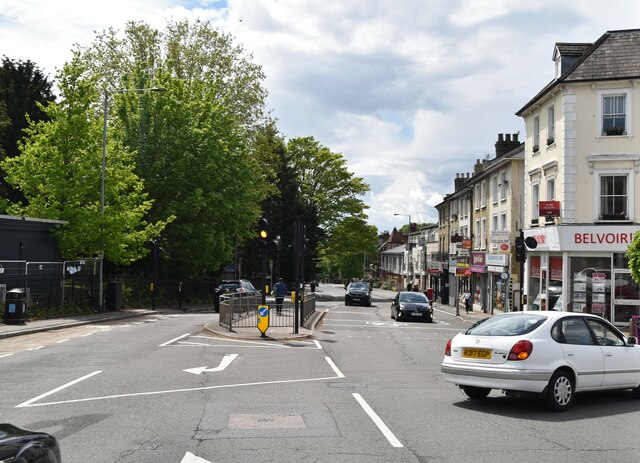
B351, A308 junction The B351 consists of two roads either side of Richmond Park. It runs 4.5 miles from Norbiton <a href="https://www.geograph.org.uk/photo/7213742">TQ1969 : B351, A308 junction</a> to Mortlake.
B351, A308 junction
The B351 consists of two roads either side of Richmond Park. It runs 4.5 miles from Norbiton TQ1969 : B351, A308 junction to Mortlake.
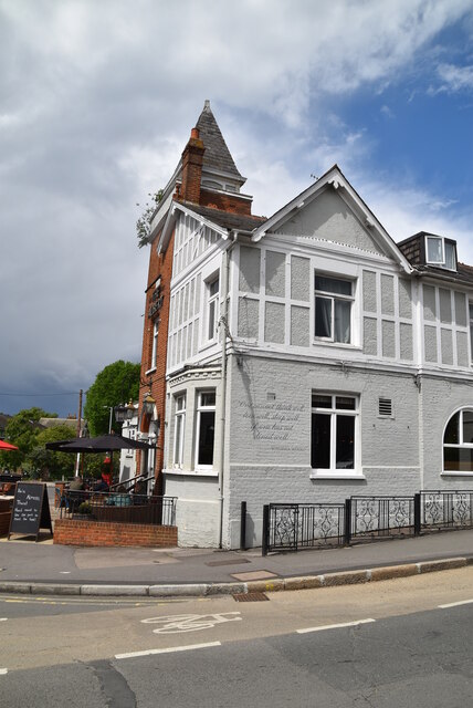
The Albert
The Albert
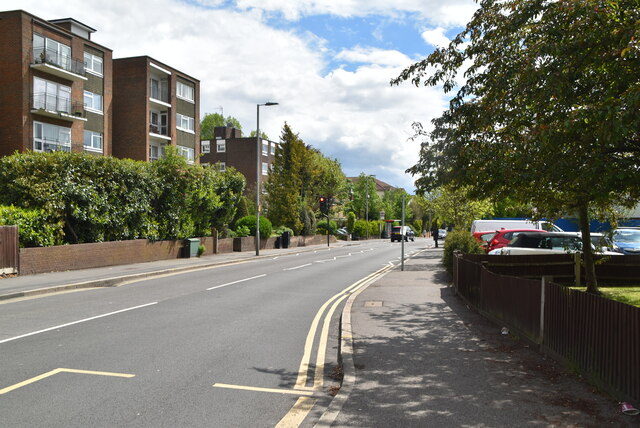
A308, Kingston Hill The A308 is a road in West London. It is in 2 parts, Brompton to Fulham and Richmond Park to Maidenhead.
Wikipedia: <span class="nowrap"><a title="http://en.wikipedia.org/wiki/A308_road" rel="nofollow ugc noopener" href="http://en.wikipedia.org/wiki/A308_road">Link</a><img style="margin-left:2px;" alt="External link" title="External link - shift click to open in new window" src="https://s1.geograph.org.uk/img/external.png" width="10" height="10"/></span>
A308, Kingston Hill
The A308 is a road in West London. It is in 2 parts, Brompton to Fulham and Richmond Park to Maidenhead. Wikipedia: LinkExternal link
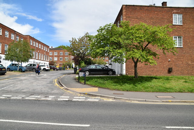
Blenheim Garden
Blenheim Garden
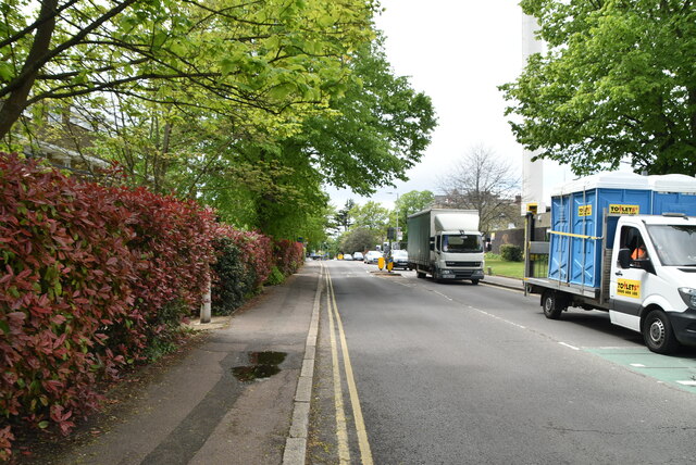
Galsworthy Rd
Galsworthy Rd
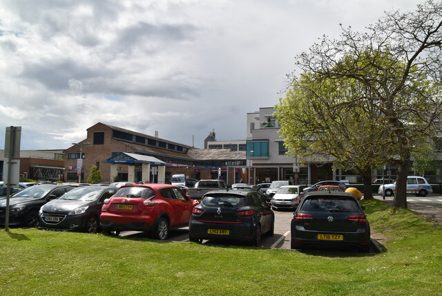
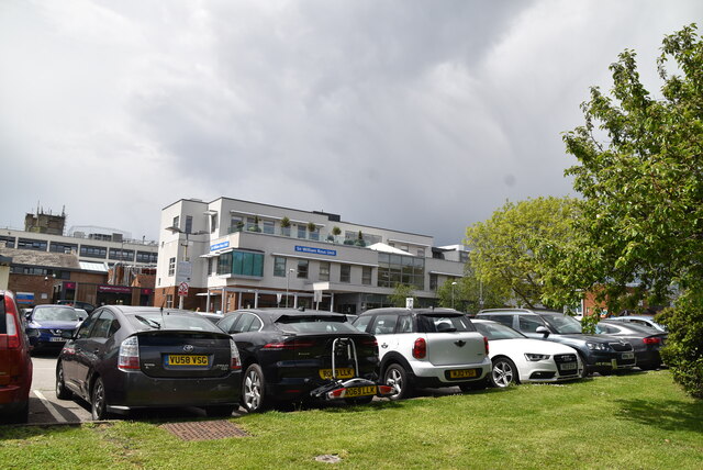
Kingston Hospital
Kingston Hospital
Kingston Hospital
Kingston Hospital
Galsworthy Rd, A238 junction The A238 runs 5 miles from Collier's Wood to Norbiton, South West London.
<span class="nowrap"><a title="http://www.sabre-roads.org.uk/wiki/index.php?title=A238" rel="nofollow ugc noopener" href="http://www.sabre-roads.org.uk/wiki/index.php?title=A238">Link</a><img style="margin-left:2px;" alt="External link" title="External link - shift click to open in new window" src="https://s1.geograph.org.uk/img/external.png" width="10" height="10"/></span>
Galsworthy Rd, A238 junction
The A238 runs 5 miles from Collier's Wood to Norbiton, South West London. LinkExternal link
A238 The A238 runs 5 miles from Collier's Wood to Norbiton, South West London.
<span class="nowrap"><a title="http://www.sabre-roads.org.uk/wiki/index.php?title=A238" rel="nofollow ugc noopener" href="http://www.sabre-roads.org.uk/wiki/index.php?title=A238">Link</a><img style="margin-left:2px;" alt="External link" title="External link - shift click to open in new window" src="https://s1.geograph.org.uk/img/external.png" width="10" height="10"/></span>
A238
The A238 runs 5 miles from Collier's Wood to Norbiton, South West London. LinkExternal link
Dumbleton Close
Dumbleton Close
Gloucester Rd, Kenley Rd junction
Kenley Rd
Kenley Rd
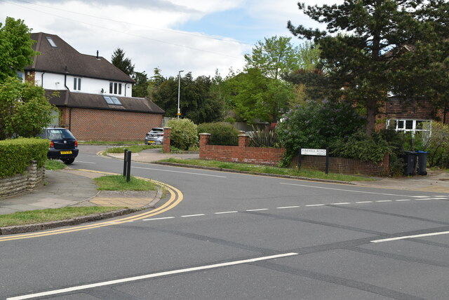
Revell Rd
Revell Rd
Kenley Rd
Kenley Rd
Birkenhead Avenue, Kingston upon Thames
Railway bridge over London Road
Service station on London Road
Show me another place!

Dann's Pond is located at Grid Ref: TQ1971 (Lat: 51.427987, Lng: -0.27988644)

Unitary Authority: Richmond upon Thames

Police Authority: Metropolitan

What 3 Words

///onion.verge.calculating. Near Kingston upon Thames, London

Related Wikis

Thatched House Lodge

Thatched House Lodge is a Grade II-listed building, dating from the 17th century, in Richmond Park in the London Borough of Richmond upon Thames in London...

Canbury School

Canbury School is a small, independent day school in Kingston upon Thames, Greater London with a maximum of 75 pupils on roll. == History == Canbury School...

Isabella Plantation

Isabella Plantation is a woodland garden in Richmond Park in south west London. It is managed by The Royal Parks. Originally located in a boggy part of...

Latchmere House

Latchmere House is a building and grounds southeast of Ham Common in Ham, in the London Borough of Richmond upon Thames, in south west London, England...

Nearby Amenities

Located within 500m of 51.427987,-0.27988644
Crossing
Crossing: uncontrolled
Crossing Island: no
Crossing Ref: zebra
Lat/Long: 51.4251971/-0.2744346
Bus Stop
Warren Road
Bus: yes
Local Ref: A
Naptan AtcoCode: 490014239N
Naptan Bearing: N
Naptan CommonName: Warren Road Kingston Hill
Naptan Indicator: Stop A
Naptan Verified: no
Public Transport: platform
Lat/Long: 51.4254679/-0.2743542
Bicycle Parking
Access: yes
Capacity: 2
Covered: no
Fee: no
Indoor: no
Note: overgrown
Lat/Long: 51.4259032/-0.2757727
Ford: yes
Lat/Long: 51.4303057/-0.2837654
Toilets
Access: yes
Description: NB closed in winter. In 2023 they opened on the 1st March
Toilets Disposal: flush
Wheelchair: yes
Lat/Long: 51.4313338/-0.2762163
Bench
Backrest: yes
Lat/Long: 51.4281977/-0.2862493
Tourism: viewpoint
Lat/Long: 51.4282937/-0.286322
Bench
Backrest: yes
Lat/Long: 51.4285247/-0.2864224
Addr Housenumber: 12
Addr Street: Ladderstile Ride
Lat/Long: 51.4256722/-0.2750323
Addr Housenumber: 2
Addr Street: Ladderstile Ride
Lat/Long: 51.4254577/-0.2746086
Drinking Water
Access: yes
Covered: no
Fee: no
Indoor: no
Note: On trough
Lat/Long: 51.4258966/-0.2757392
Barrier: bollard
Lat/Long: 51.4255092/-0.2742933
Crossing
Crossing: unmarked
Crossing Markings: no
Lat/Long: 51.4251145/-0.2744128
Give Way
Direction: forward
Lat/Long: 51.4252694/-0.2744547
Tactile Paving: yes
Lat/Long: 51.4251839/-0.2743885
Barrier: bollard
Lat/Long: 51.4253533/-0.27439
Tactile Paving: yes
Lat/Long: 51.4252496/-0.2745085
Tactile Paving: yes
Lat/Long: 51.4253132/-0.2744606
Crossing
Crossing: unmarked
Crossing Island: no
Crossing Markings: no
Lat/Long: 51.425282/-0.274484
Tactile Paving: yes
Lat/Long: 51.425212/-0.2744868
Bus Stop
Ladderstile Gate
Bench: no
Public Transport: platform
Lat/Long: 51.4260994/-0.2761837
The data included in this document is from www.openstreetmap.org. The data is made available under ODbL.

Have you been to Dann's Pond?

Leave your review of Dann's Pond below (or comments, questions and feedback).