High Wood

Wood, Forest in Surrey

England

High Wood

B351, A308 junction The B351 consists of two roads either side of Richmond Park. It runs 4.5 miles from Norbiton <a href="https://www.geograph.org.uk/photo/7213742">TQ1969 : B351, A308 junction</a> to Mortlake.
B351, A308 junction Credit: N Chadwick

High Wood, Surrey, also known as High Wood Forest, is a picturesque woodland located in the county of Surrey, England. Covering an area of approximately 100 hectares, the wood is a popular destination for nature enthusiasts and hikers alike.

The woodland is characterized by its diverse range of tree species, including oak, birch, beech, and pine, which create a rich and vibrant landscape. The dense canopy provides a cool and shaded environment, particularly refreshing during the summer months.

High Wood is home to a variety of wildlife, making it a haven for nature lovers. Visitors can spot a range of bird species, including woodpeckers, buzzards, and owls. Additionally, the wood is inhabited by small mammals such as squirrels, foxes, and deer, adding to the area's natural charm.

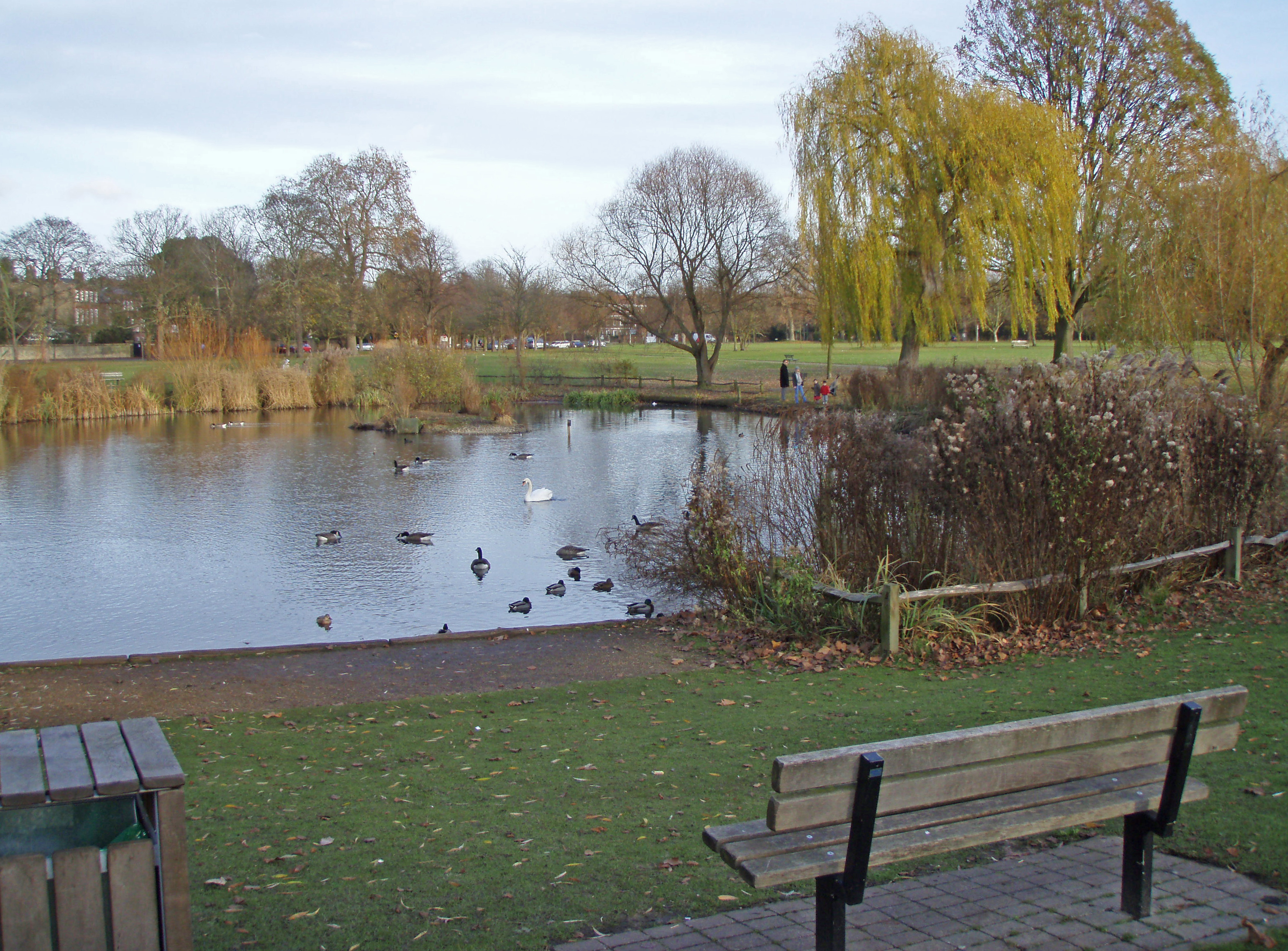
The wood offers several walking trails and paths, allowing visitors to explore its serene beauty and discover hidden gems. These trails cater to different levels of difficulty, making it accessible to all ages and fitness levels. Along the way, visitors may come across tranquil ponds, providing a peaceful spot for reflection and relaxation.

High Wood is also an important historical site, with evidence of human occupation dating back to the Iron Age. The wood has witnessed various developments throughout history, including timber extraction and charcoal production.

Overall, High Wood, Surrey, with its lush greenery, diverse wildlife, and historical significance, offers a serene and captivating experience for those seeking a connection with nature.

If you have any feedback on the listing, please let us know in the comments section below.
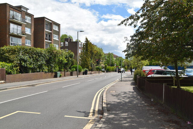
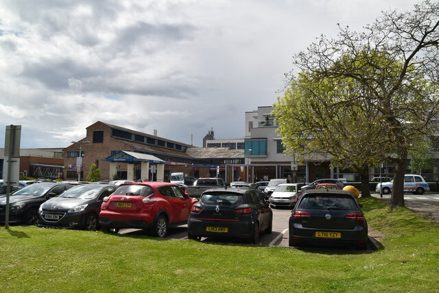
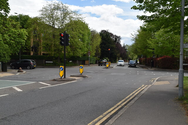
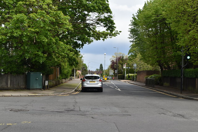
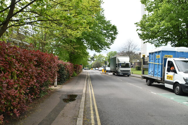
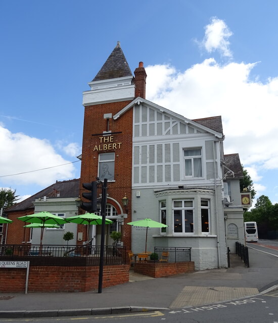
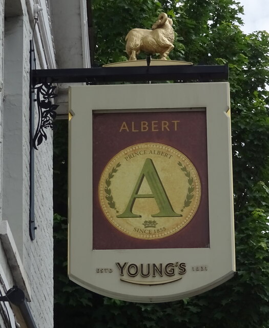
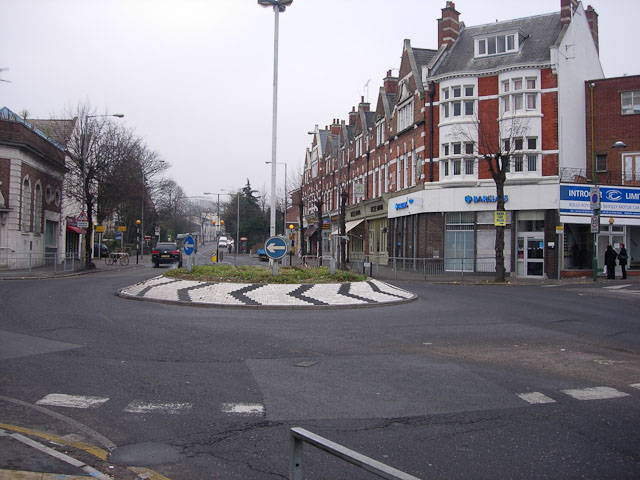
High Wood Images

Images are sourced within 2km of 51.430712/-0.27925185 or Grid Reference TQ1971. Thanks to Geograph Open Source API. All images are credited.

B351, A308 junction The B351 consists of two roads either side of Richmond Park. It runs 4.5 miles from Norbiton <a href="https://www.geograph.org.uk/photo/7213742">TQ1969 : B351, A308 junction</a> to Mortlake.
B351, A308 junction
The B351 consists of two roads either side of Richmond Park. It runs 4.5 miles from Norbiton TQ1969 : B351, A308 junction to Mortlake.
The Albert
The Albert
A308, Kingston Hill The A308 is a road in West London. It is in 2 parts, Brompton to Fulham and Richmond Park to Maidenhead.
Wikipedia: <span class="nowrap"><a title="http://en.wikipedia.org/wiki/A308_road" rel="nofollow ugc noopener" href="http://en.wikipedia.org/wiki/A308_road">Link</a><img style="margin-left:2px;" alt="External link" title="External link - shift click to open in new window" src="https://s1.geograph.org.uk/img/external.png" width="10" height="10"/></span>
A308, Kingston Hill
The A308 is a road in West London. It is in 2 parts, Brompton to Fulham and Richmond Park to Maidenhead. Wikipedia: LinkExternal link
Blenheim Garden
Blenheim Garden
Galsworthy Rd
Galsworthy Rd
Kingston Hospital
Kingston Hospital
Kingston Hospital
Kingston Hospital
Galsworthy Rd, A238 junction The A238 runs 5 miles from Collier's Wood to Norbiton, South West London.
<span class="nowrap"><a title="http://www.sabre-roads.org.uk/wiki/index.php?title=A238" rel="nofollow ugc noopener" href="http://www.sabre-roads.org.uk/wiki/index.php?title=A238">Link</a><img style="margin-left:2px;" alt="External link" title="External link - shift click to open in new window" src="https://s1.geograph.org.uk/img/external.png" width="10" height="10"/></span>
Galsworthy Rd, A238 junction
The A238 runs 5 miles from Collier's Wood to Norbiton, South West London. LinkExternal link
A238 The A238 runs 5 miles from Collier's Wood to Norbiton, South West London.
<span class="nowrap"><a title="http://www.sabre-roads.org.uk/wiki/index.php?title=A238" rel="nofollow ugc noopener" href="http://www.sabre-roads.org.uk/wiki/index.php?title=A238">Link</a><img style="margin-left:2px;" alt="External link" title="External link - shift click to open in new window" src="https://s1.geograph.org.uk/img/external.png" width="10" height="10"/></span>
A238
The A238 runs 5 miles from Collier's Wood to Norbiton, South West London. LinkExternal link
Service station on London Road
A308, Kingston upon Thames
The Albert, Kingston upon Thames On Kingston Hill.
See <a href="https://www.geograph.org.uk/photo/7298817">TQ1969 : Sign for the Albert, Kingston upon Thames</a> for sign.
The Albert, Kingston upon Thames
On Kingston Hill. See TQ1969 : Sign for the Albert, Kingston upon Thames for sign.
Sign for the Albert, Kingston upon Thames See <a href="https://www.geograph.org.uk/photo/7298816">TQ1969 : The Albert, Kingston upon Thames</a> for context.
Sign for the Albert, Kingston upon Thames
Kingston Registry Office This is the registry office for births and deaths in Kingston and also performs civil marriage ceremonies. It is located between Norbiton station and Kingston hospital.
Kingston Registry Office
This is the registry office for births and deaths in Kingston and also performs civil marriage ceremonies. It is located between Norbiton station and Kingston hospital.
Kingston Hill Shops at the Kingston end.
Kingston Hill
Shops at the Kingston end.
Shops on Park Road Mix of low order shops (newsagent and cafe) and high order shops people will make an effort to get to (bridal wear).
Shops on Park Road
Mix of low order shops (newsagent and cafe) and high order shops people will make an effort to get to (bridal wear).
A238 at Coombe Coombe Lane West heads towards Kingston, seen from just west of the junction with Warren Road.
A238 at Coombe
Coombe Lane West heads towards Kingston, seen from just west of the junction with Warren Road.
Show me another place!

High Wood is located at Grid Ref: TQ1971 (Lat: 51.430712, Lng: -0.27925185)

Unitary Authority: Richmond upon Thames

Police Authority: Metropolitan

What 3 Words

///vibrate.types.modest. Near Kingston upon Thames, London

Related Wikis

Isabella Plantation

Isabella Plantation is a woodland garden in Richmond Park in south west London. It is managed by The Royal Parks. Originally located in a boggy part of...

Thatched House Lodge

Thatched House Lodge is a Grade II-listed building, dating from the 17th century, in Richmond Park in the London Borough of Richmond upon Thames in London...

Canbury School

Canbury School is a small, independent day school in Kingston upon Thames, Greater London with a maximum of 75 pupils on roll. == History == Canbury School...

Latchmere House

Latchmere House is a building and grounds southeast of Ham Common in Ham, in the London Borough of Richmond upon Thames, in south west London, England...

Latchmere Recreation Ground, Kingston upon Thames

Latchmere Recreation Ground is a public open space with playing fields and a children's playground in the north of the Royal Borough of Kingston upon Thames...

Holy Cross Preparatory School

Holy Cross Preparatory School is an independent preparatory school for girls aged 4–11 in Coombe, London, England. == History == Holy Cross Preparatory...

Ham Urban District

Ham was a local government district in north east Surrey, England around the village of Ham from 1894 to 1933. Ham Common Local Government District was...

St Agatha's Roman Catholic Church, Kingston upon Thames

St Agatha's is a Roman Catholic church on Wyndham Road in Kingston upon Thames, London. It is dedicated to Saint Agatha of Sicily. The Italianate church...

Nearby Amenities

Located within 500m of 51.430712,-0.27925185
Ford: stepping_stones
Wheelchair: no
Lat/Long: 51.4336595/-0.2771101
Ford: yes
Lat/Long: 51.4303057/-0.2837654
Toilets
Access: yes
Description: NB closed in winter. In 2023 they opened on the 1st March
Toilets Disposal: flush
Wheelchair: yes
Lat/Long: 51.4313338/-0.2762163
Bench
Lat/Long: 51.4323254/-0.273175
Information: board
Tourism: information
Lat/Long: 51.4338412/-0.2812894
Disused Barrier: gate
Entrance: yes
Old Name: Peg's Pond Gate
Lat/Long: 51.4341836/-0.2814582
Bench
Lat/Long: 51.4342294/-0.2811589
Bicycle Parking
Bicycle Parking: stands
Capacity: 20
Covered: no
Lat/Long: 51.4337683/-0.2814521
Bench
Backrest: yes
Material: wood
Seats: 4
Lat/Long: 51.4321801/-0.2734144
Waste Basket
Lat/Long: 51.4320284/-0.2739306
Bench
Source: gps+mapnoter
Lat/Long: 51.4337501/-0.2797168
Bench
Source: gps+mapnoter
Lat/Long: 51.433837/-0.2782416
Bench
Source: gps+mapnoter
Lat/Long: 51.4337685/-0.277091
Bench
Source: gps+mapnoter
Lat/Long: 51.4337952/-0.2757338
Bench
Source: gps+mapnoter
Lat/Long: 51.4335578/-0.2758867
Bench
Source: gps+mapnoter
Lat/Long: 51.4340527/-0.2812511
Bench
Source: gps+mapnoter
Lat/Long: 51.4339574/-0.2812779
Bench
Lat/Long: 51.433911/-0.2808581
Bench
Lat/Long: 51.4339248/-0.281001
Bus Stop
Isabella Plantation
Bench: no
Fixme: Location approximate
Public Transport: platform
Lat/Long: 51.434123/-0.2821469
The data included in this document is from www.openstreetmap.org. The data is made available under ODbL.

Have you been to High Wood?

Leave your review of High Wood below (or comments, questions and feedback).