Ham Dip Pond
Lake, Pool, Pond, Freshwater Marsh in Surrey
England
Ham Dip Pond
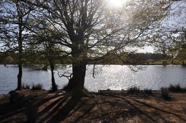
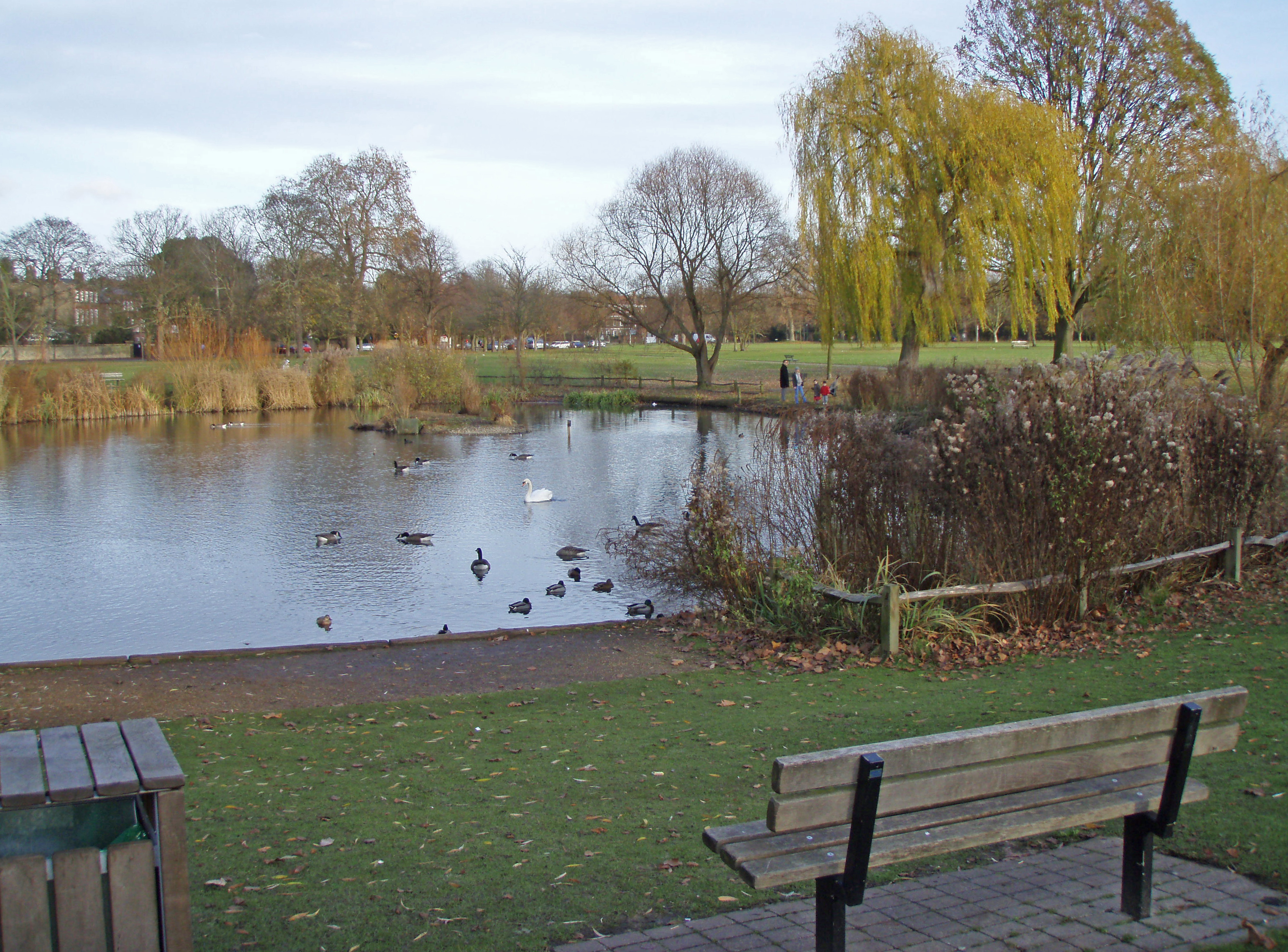
Ham Dip Pond is a serene freshwater feature located in the county of Surrey, England. Nestled amidst the picturesque landscape, it is a popular destination for nature enthusiasts and locals seeking tranquility. Spanning an area of approximately 10 acres, Ham Dip Pond is a harmonious blend of a lake, pool, pond, and freshwater marsh.
The pond's pristine waters are fed by natural springs and rainfall, ensuring a constant flow of freshwater throughout the year. Surrounded by lush greenery and tall trees, it creates a soothing ambiance for visitors. The water's clarity allows one to observe the diverse aquatic life, including fish, frogs, and various species of waterfowl.
The diverse ecosystem of Ham Dip Pond attracts a wide range of bird species, making it a haven for birdwatchers. It is not uncommon to spot herons, swans, ducks, and geese gracefully gliding on the water's surface. Additionally, the surrounding vegetation provides a habitat for numerous insects, amphibians, and small mammals.
The tranquil atmosphere of Ham Dip Pond makes it an ideal spot for leisurely activities such as picnicking, walking, and photography. Several pathways wind around the pond, offering scenic views and opportunities for exploration. The pond's calm waters also make it suitable for kayaking and fishing.
Efforts have been made to preserve and maintain the natural beauty of Ham Dip Pond, with designated areas for wildlife and vegetation conservation. Additionally, informative signage provides visitors with educational insights into the diverse flora and fauna found in and around the pond.
Overall, Ham Dip Pond is a captivating freshwater feature that offers a serene escape from the bustling city life. Its diverse ecosystem, scenic surroundings, and peaceful ambiance make it a cherished natural gem in Surrey.
If you have any feedback on the listing, please let us know in the comments section below.
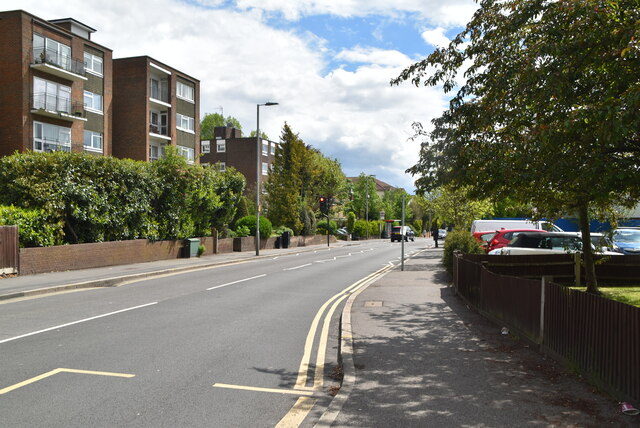
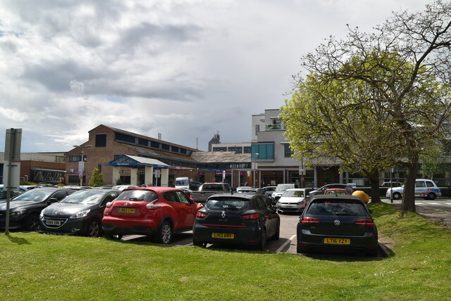
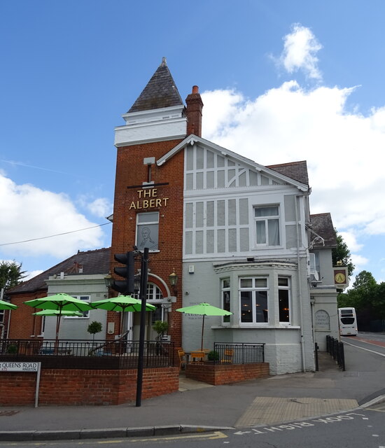
Ham Dip Pond Images
Images are sourced within 2km of 51.432344/-0.28878618 or Grid Reference TQ1971. Thanks to Geograph Open Source API. All images are credited.


Ham Dip Pond is located at Grid Ref: TQ1971 (Lat: 51.432344, Lng: -0.28878618)
Unitary Authority: Richmond upon Thames
Police Authority: Metropolitan
What 3 Words
///name.funded.remit. Near Kingston upon Thames, London
Nearby Locations
Related Wikis

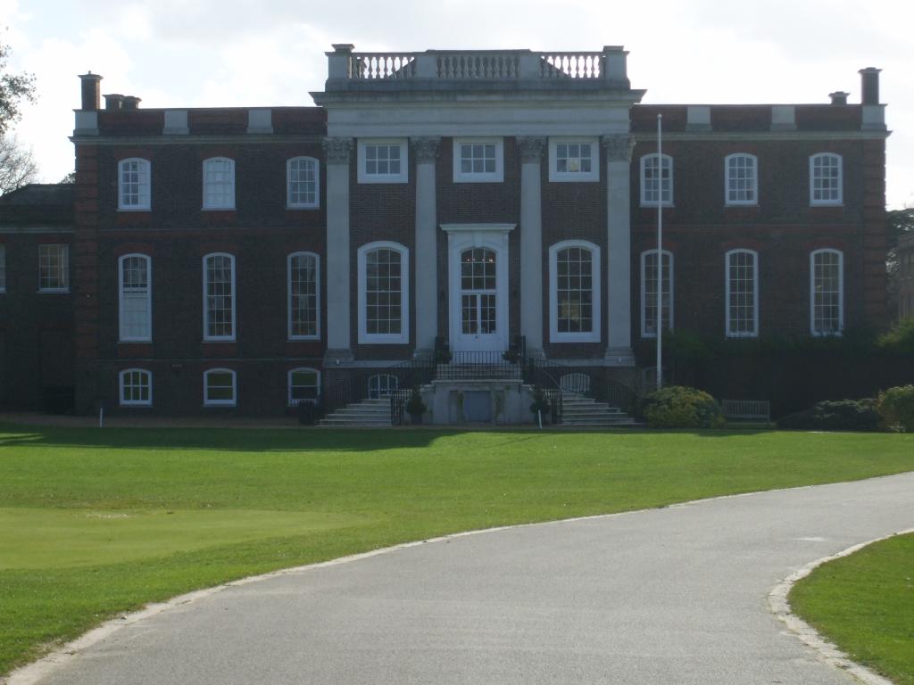
Thatched House Lodge
Thatched House Lodge is a Grade II-listed building, dating from the 17th century, in Richmond Park in the London Borough of Richmond upon Thames in London...

Latchmere House
Latchmere House is a building and grounds southeast of Ham Common in Ham, in the London Borough of Richmond upon Thames, in south west London, England...
Ham Urban District
Ham was a local government district in north east Surrey, England around the village of Ham from 1894 to 1933. Ham Common Local Government District was...

Isabella Plantation
Isabella Plantation is a woodland garden in Richmond Park in south west London. It is managed by The Royal Parks. Originally located in a boggy part of...
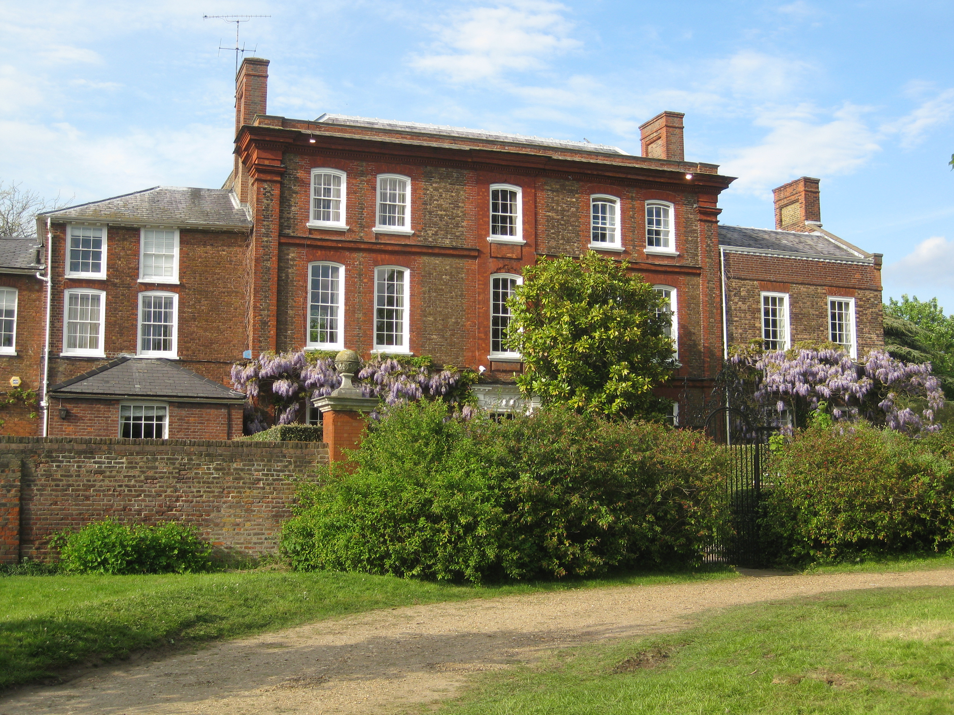
Ormeley Lodge
Ormeley Lodge is a Grade II* listed early 18th-century Georgian house, set in 6 acres (2 ha) on the edge of Ham Common, near to Richmond Park in Ham...
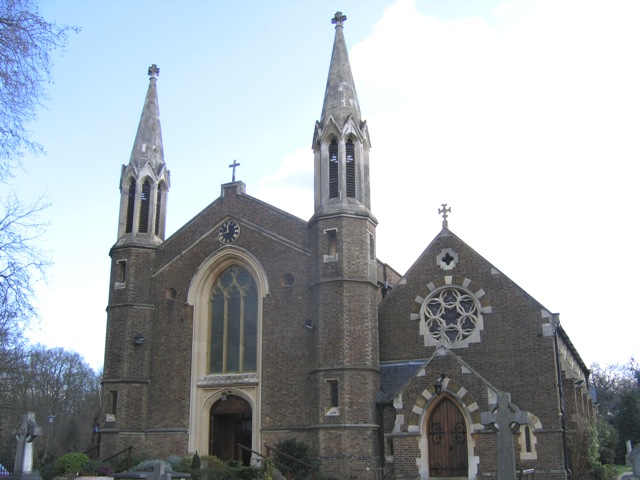
St Andrew's Church, Ham
St Andrew's Church, Ham, is a Grade II listed Church of England church on Church Road, Ham Common in Ham in the London Borough of Richmond upon Thames...
Sudbrook Park, Petersham
Sudbrook Park in Petersham (now in the London Borough of Richmond upon Thames) was developed by John Campbell, 2nd Duke of Argyll in the early 18th century...

Richmond Golf Club
The Richmond Golf Club is a private golf club whose 18-hole course now occupies the historic Sudbrook Park adjacent to Richmond Park, in Petersham, south...
Related Videos

KINGSTON UPON THAMES Walking Tour - London - England (4k)
Kingston upon Thames walking tour, town in London situated on the River Thames. #kingstonuponthames #kingston ...

Richmond & Wimbledon Park | 🇬🇧 Hiking UK | England| Family walk | 4K
Get away from it all without leaving Greater London - Richmond Park and the River Thames. Length 12 km (7.5 miles), 3 hours.

Richmond Circular Walk: Exploring Nature's Beauty in Richmond Park and Beyond 🇬🇧
Join us on a scenic journey through the Richmond Circular walk, a picturesque hiking trail that showcases the natural beauty of ...

Exploring Richmond & Wimbledon Park | London Walks 🇬🇧 | Hiking UK | England
Join us on a captivating journey through the scenic landscapes of Richmond and Wimbledon Park in the heart of England.
Nearby Amenities
Located within 500m of 51.432344,-0.28878618Have you been to Ham Dip Pond?
Leave your review of Ham Dip Pond below (or comments, questions and feedback).