Coronation Plantation

Wood, Forest in Surrey

England

Coronation Plantation

B351, A308 junction The B351 consists of two roads either side of Richmond Park. It runs 4.5 miles from Norbiton <a href="https://www.geograph.org.uk/photo/7213742">TQ1969 : B351, A308 junction</a> to Mortlake.
B351, A308 junction Credit: N Chadwick

Coronation Plantation is a picturesque woodland located in Surrey, England. Situated in the southeastern part of the county, it covers an expansive area of approximately 200 acres. The plantation is part of the larger Esher Commons, which includes several other woodlands and open spaces.

The woodland is predominantly made up of oak and birch trees, creating a dense and diverse forest ecosystem. The lush greenery and vibrant flora make it a haven for wildlife and a popular destination for nature enthusiasts. The plantation is home to a variety of bird species, including woodpeckers, tits, and owls, providing a delightful soundscape for visitors.

Coronation Plantation offers a network of well-maintained walking trails, allowing visitors to explore and immerse themselves in the natural beauty of the area. The paths meander through the woodland, providing opportunities to spot wildflowers, ferns, and other native plants. The plantation also features a small pond, adding to the tranquility of the surroundings.

The woodland is managed by the Surrey Wildlife Trust, ensuring the preservation and conservation of its natural resources. The trust actively engages in habitat restoration and enhancement projects, making Coronation Plantation an important ecological site within the region.

The plantation is easily accessible, with ample parking available for visitors. It is a popular destination for families, dog walkers, and nature lovers seeking a peaceful retreat away from the bustling city. Coronation Plantation offers a serene escape into nature, providing a wonderful opportunity to reconnect with the outdoors.

If you have any feedback on the listing, please let us know in the comments section below.

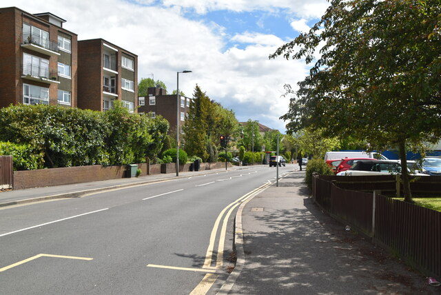
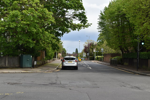
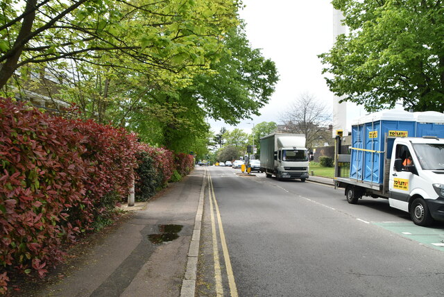
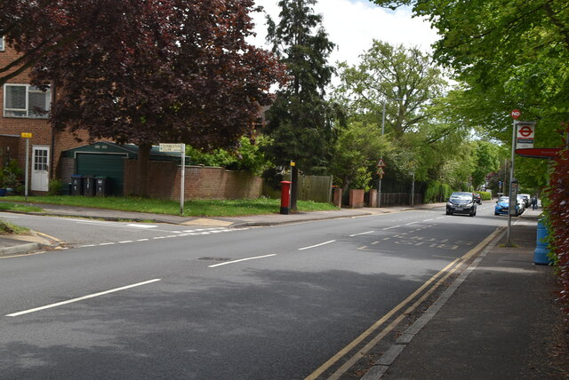
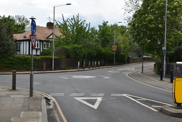
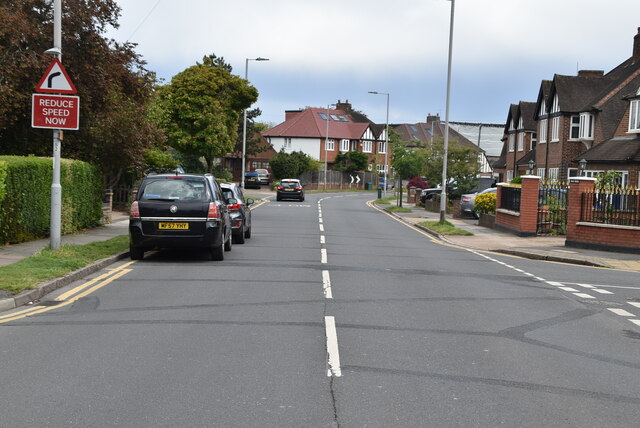
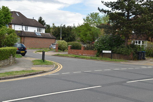
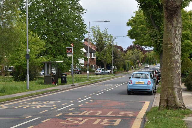
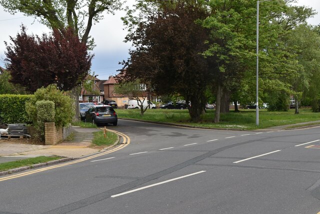
Coronation Plantation Images

Images are sourced within 2km of 51.42694/-0.27963805 or Grid Reference TQ1971. Thanks to Geograph Open Source API. All images are credited.

B351, A308 junction The B351 consists of two roads either side of Richmond Park. It runs 4.5 miles from Norbiton <a href="https://www.geograph.org.uk/photo/7213742">TQ1969 : B351, A308 junction</a> to Mortlake.
B351, A308 junction
The B351 consists of two roads either side of Richmond Park. It runs 4.5 miles from Norbiton TQ1969 : B351, A308 junction to Mortlake.
The Albert
The Albert
A308, Kingston Hill The A308 is a road in West London. It is in 2 parts, Brompton to Fulham and Richmond Park to Maidenhead.
Wikipedia: <span class="nowrap"><a title="http://en.wikipedia.org/wiki/A308_road" rel="nofollow ugc noopener" href="http://en.wikipedia.org/wiki/A308_road">Link</a><img style="margin-left:2px;" alt="External link" title="External link - shift click to open in new window" src="https://s1.geograph.org.uk/img/external.png" width="10" height="10"/></span>
A308, Kingston Hill
The A308 is a road in West London. It is in 2 parts, Brompton to Fulham and Richmond Park to Maidenhead. Wikipedia: LinkExternal link
Blenheim Garden
Blenheim Garden
Galsworthy Rd
Galsworthy Rd
Kingston Hospital
Kingston Hospital
Kingston Hospital
Kingston Hospital
Galsworthy Rd, A238 junction The A238 runs 5 miles from Collier's Wood to Norbiton, South West London.
<span class="nowrap"><a title="http://www.sabre-roads.org.uk/wiki/index.php?title=A238" rel="nofollow ugc noopener" href="http://www.sabre-roads.org.uk/wiki/index.php?title=A238">Link</a><img style="margin-left:2px;" alt="External link" title="External link - shift click to open in new window" src="https://s1.geograph.org.uk/img/external.png" width="10" height="10"/></span>
Galsworthy Rd, A238 junction
The A238 runs 5 miles from Collier's Wood to Norbiton, South West London. LinkExternal link
A238 The A238 runs 5 miles from Collier's Wood to Norbiton, South West London.
<span class="nowrap"><a title="http://www.sabre-roads.org.uk/wiki/index.php?title=A238" rel="nofollow ugc noopener" href="http://www.sabre-roads.org.uk/wiki/index.php?title=A238">Link</a><img style="margin-left:2px;" alt="External link" title="External link - shift click to open in new window" src="https://s1.geograph.org.uk/img/external.png" width="10" height="10"/></span>
A238
The A238 runs 5 miles from Collier's Wood to Norbiton, South West London. LinkExternal link
Dumbleton Close
Dumbleton Close
Gloucester Rd, Kenley Rd junction
Kenley Rd
Kenley Rd
Revell Rd
Revell Rd
Kenley Rd
Kenley Rd
Kenley Rd
Kenley Rd
Kenley Rd
Kenley Rd
Birkenhead Avenue, Kingston upon Thames
Show me another place!

Coronation Plantation is located at Grid Ref: TQ1971 (Lat: 51.42694, Lng: -0.27963805)

Unitary Authority: Richmond upon Thames

Police Authority: Metropolitan

What 3 Words

///heat.loudly.pool. Near Kingston upon Thames, London

Related Wikis

Thatched House Lodge

Thatched House Lodge is a Grade II-listed building, dating from the 17th century, in Richmond Park in the London Borough of Richmond upon Thames in London...

Canbury School

Canbury School is a small, independent day school in Kingston upon Thames, Greater London with a maximum of 75 pupils on roll. == History == Canbury School...

Isabella Plantation

Isabella Plantation is a woodland garden in Richmond Park in south west London. It is managed by The Royal Parks. Originally located in a boggy part of...

Holy Cross Preparatory School

Holy Cross Preparatory School is an independent preparatory school for girls aged 4–11 in Coombe, London, England. == History == Holy Cross Preparatory...

Latchmere House

Latchmere House is a building and grounds southeast of Ham Common in Ham, in the London Borough of Richmond upon Thames, in south west London, England...

Latchmere Recreation Ground, Kingston upon Thames

Latchmere Recreation Ground is a public open space with playing fields and a children's playground in the north of the Royal Borough of Kingston upon Thames...

Rokeby Preparatory School

Rokeby School is an independent all-boys preparatory day school in Kingston upon Thames, London. Its headmaster is Jason Peck. The school offers an education...

St Agatha's Roman Catholic Church, Kingston upon Thames

St Agatha's is a Roman Catholic church on Wyndham Road in Kingston upon Thames, London. It is dedicated to Saint Agatha of Sicily. The Italianate church...

Nearby Amenities

Located within 500m of 51.42694,-0.27963805
Crossing
Crossing: unmarked
Crossing Island: no
Crossing Markings: no
Lat/Long: 51.4235683/-0.2756355
Post Box
Post Box Type: pillar
Ref: KT2 123
Royal Cypher: EVIIR
Royal Cypher Wikidata: Q33102324
Lat/Long: 51.4247748/-0.2746156
Crossing
Crossing: uncontrolled
Crossing Island: no
Crossing Ref: zebra
Lat/Long: 51.4251971/-0.2744346
Bus Stop
Galsworthy House
Bus: yes
Local Ref: S
Naptan AtcoCode: 490007101W
Naptan Bearing: W
Naptan CommonName: Galsworthy House
Naptan Indicator: Stop S
Naptan Street: KINGSTON HILL
Naptan Verified: no
Public Transport: platform
Ref: 55121
Source Ref: naptan
Wheelchair: yes
Lat/Long: 51.4271115/-0.2726285
Bus Stop
Warren Road
Bus: yes
Local Ref: A
Naptan AtcoCode: 490014239N
Naptan Bearing: N
Naptan CommonName: Warren Road Kingston Hill
Naptan Indicator: Stop A
Naptan Verified: no
Public Transport: platform
Lat/Long: 51.4254679/-0.2743542
Bus Stop
Warren Road
Bus: yes
Local Ref: T
Naptan AtcoCode: 490014239S
Naptan Bearing: S
Naptan CommonName: Warren Road Kingston Hill
Naptan Indicator: Stop T
Naptan Verified: no
Public Transport: platform
Lat/Long: 51.4245617/-0.2748013
Bicycle Parking
Access: yes
Capacity: 2
Covered: no
Fee: no
Indoor: no
Note: overgrown
Lat/Long: 51.4259032/-0.2757727
Ford: yes
Lat/Long: 51.4243682/-0.2852692
Ford: yes
Lat/Long: 51.4303057/-0.2837654
Bench
Backrest: yes
Lat/Long: 51.4281977/-0.2862493
Tourism: viewpoint
Lat/Long: 51.4282937/-0.286322
Addr Housenumber: 1
Addr Street: Astor Close
Lat/Long: 51.4230157/-0.2765023
Addr Housenumber: 16
Addr Street: Astor Close
Lat/Long: 51.4233762/-0.2776643
Addr Housenumber: 17
Addr Street: Astor Close
Lat/Long: 51.4233463/-0.2781466
Addr Housenumber: 23
Addr Street: Astor Close
Lat/Long: 51.4236126/-0.2778502
Addr Housenumber: 12
Addr Street: Ladderstile Ride
Lat/Long: 51.4256722/-0.2750323
Addr Housenumber: 2
Addr Street: Ladderstile Ride
Lat/Long: 51.4254577/-0.2746086
Ref GB Tflcid: RWG132229
Traffic Calming: hump
Lat/Long: 51.4249135/-0.2741608
Drinking Water
Access: yes
Covered: no
Fee: no
Indoor: no
Note: On trough
Lat/Long: 51.4258966/-0.2757392
Entrance: main
Lat/Long: 51.423912/-0.2757171
Entrance: main
Lat/Long: 51.4238065/-0.2757342
Sir Malcolm Campbell and Donald Campbell
Historic: memorial
Inscription: Sir Malcolm Campbell (1885–1948), and Donald Campbell (1921–1967) Speed Record Holders on Land and Water lived here
Memorial: blue_plaque
Openplaques Id: 4872
Lat/Long: 51.4238637/-0.275752
Barrier: bollard
Lat/Long: 51.4255092/-0.2742933
Crossing
Crossing: unmarked
Crossing Markings: no
Lat/Long: 51.4251145/-0.2744128
Give Way
Direction: forward
Lat/Long: 51.4252694/-0.2744547
Tactile Paving: yes
Lat/Long: 51.4251839/-0.2743885
Barrier: bollard
Lat/Long: 51.4253533/-0.27439
Barrier: bollard
Lat/Long: 51.4246601/-0.2747555
Barrier: bollard
Lat/Long: 51.4245424/-0.2748344
Barrier: bollard
Lat/Long: 51.4270752/-0.2726913
Barrier: bollard
Lat/Long: 51.4271804/-0.2725743
Tactile Paving: yes
Lat/Long: 51.4235451/-0.27556
Give Way
Direction: backward
Lat/Long: 51.4231754/-0.2758248
Give Way
Direction: backward
Lat/Long: 51.423727/-0.2755998
Crossing
Lat/Long: 51.4240019/-0.2754115
Tactile Paving: yes
Lat/Long: 51.4252496/-0.2745085
Tactile Paving: yes
Lat/Long: 51.4253132/-0.2744606
Crossing
Crossing: unmarked
Crossing Island: no
Crossing Markings: no
Lat/Long: 51.425282/-0.274484
Tactile Paving: yes
Lat/Long: 51.425212/-0.2744868
Tactile Paving: yes
Lat/Long: 51.4235889/-0.2757023
Bus Stop
Ladderstile Gate
Bench: no
Public Transport: platform
Lat/Long: 51.4260994/-0.2761837
Crossing
Lat/Long: 51.4242664/-0.2752145
The data included in this document is from www.openstreetmap.org. The data is made available under ODbL.

Have you been to Coronation Plantation?

Leave your review of Coronation Plantation below (or comments, questions and feedback).