Hilda's Plantation
Wood, Forest in Sussex Horsham
England
Hilda's Plantation

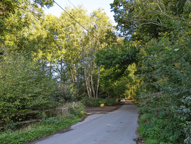
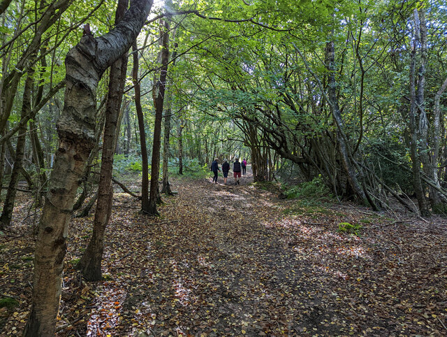
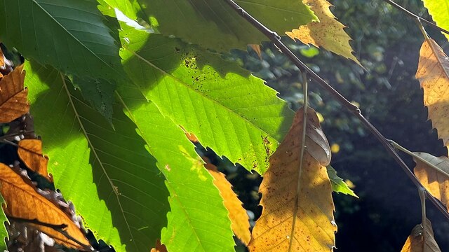
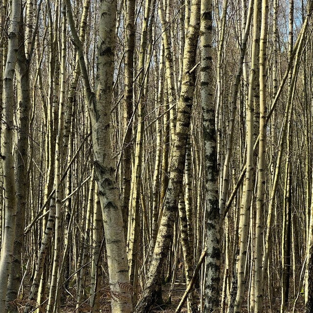
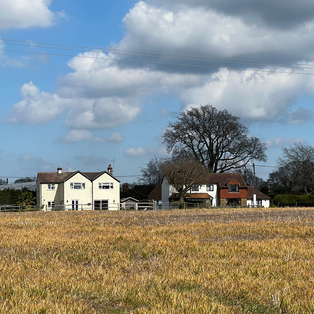
Hilda's Plantation is a picturesque woodland located in Sussex, England. Nestled in the heart of the countryside, this enchanting forest offers visitors a serene and idyllic escape from the bustling city life. Covering an area of approximately 200 acres, Hilda's Plantation boasts an impressive variety of trees, plants, and wildlife.
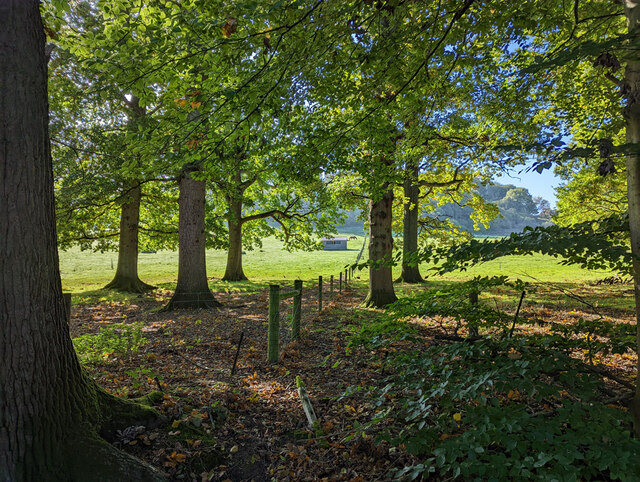
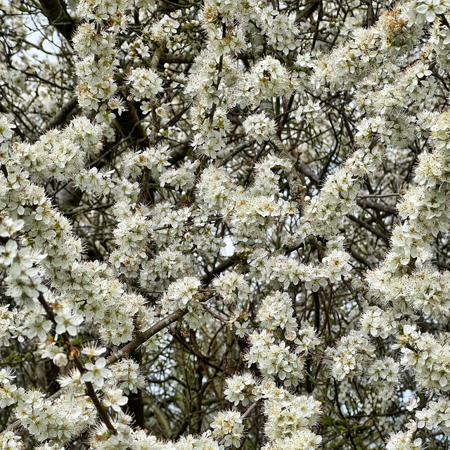
The woodland is mainly composed of towering oak, beech, and ash trees, creating a dense canopy that provides shade and shelter throughout the year. The forest floor is adorned with a rich carpet of ferns, bluebells, and wildflowers, adding a splash of vibrant colors to the lush green surroundings.
Hilda's Plantation is home to a diverse range of wildlife, making it a popular destination for nature enthusiasts and birdwatchers. Visitors can spot a wide array of bird species, including woodpeckers, owls, and various songbirds. The forest also houses small mammals like foxes, rabbits, and squirrels, which can be observed scurrying amidst the trees.
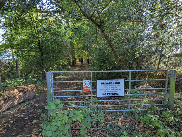
The woodland offers several walking trails and paths that wind through its enchanting landscape. These trails provide the perfect opportunity for visitors to explore the beauty of Hilda's Plantation at their own pace. Additionally, the forest is equipped with picnic areas and benches, allowing visitors to relax and immerse themselves in the tranquility of nature.
Hilda's Plantation, with its abundant flora and fauna, offers a peaceful retreat for those seeking solace in the embrace of nature. Its serene ambiance and breathtaking scenery make it a must-visit destination for anyone looking to escape the stresses of daily life and reconnect with the natural world.
If you have any feedback on the listing, please let us know in the comments section below.
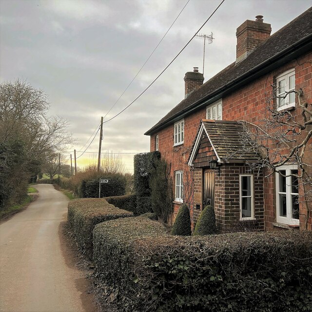
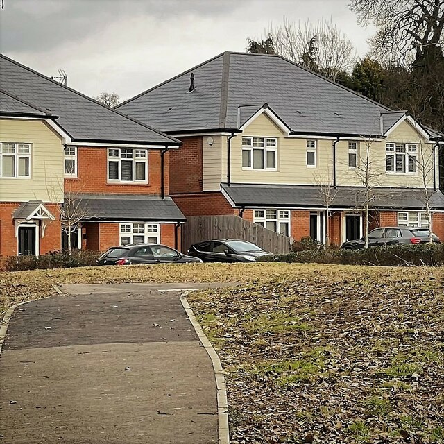
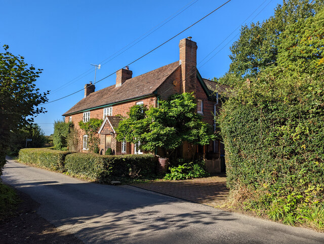
Hilda's Plantation Images
Images are sourced within 2km of 51.026835/-0.29440695 or Grid Reference TQ1926. Thanks to Geograph Open Source API. All images are credited.


Hilda's Plantation is located at Grid Ref: TQ1926 (Lat: 51.026835, Lng: -0.29440695)
Administrative County: West Sussex
District: Horsham
Police Authority: Sussex
What 3 Words
///sadly.conqueror.roadmap. Near Southwater, West Sussex
Nearby Locations
Related Wikis

Southwater & Nuthurst (electoral division)
Southwater & Nuthurst is an electoral division of West Sussex in the United Kingdom and returns one member to sit on West Sussex County Council. The current...

Nuthurst
Nuthurst is a village and civil parish in the Horsham district of West Sussex, England. The north of the parish borders Horsham town, with Nuthurst village...

Monk's Gate
Monk's Gate is a hamlet in the civil parish of Nuthurst, in the Horsham District of West Sussex, England. It lies on the A281 road 3 miles (5 km) southeast...

Mannings Heath
Mannings Heath is a village in the civil parish of Nuthurst and the Horsham District of West Sussex, England. The village is on the A281 road, 2 miles...

Maplehurst, West Sussex
Maplehurst is a hamlet in the civil parish of Nuthurst, and the Horsham District of West Sussex, England. The hamlet is on the Copsale to Nuthurst road...

Lower Beeding
Lower Beeding is a village and civil parish in the Horsham District of West Sussex, England. The village lies on the B2110, B2115 and A281 roads 3.5 miles...

Newells Preparatory School
Newells Preparatory School came to Lower Beeding, Sussex, in 1946. It has been at Handcross and known as Handcross Park School since 1968. It merged with...

Leonardslee
Leonardslee is an English country house and English landscape garden and woodland garden in Lower Beeding, near Horsham, West Sussex, England. The Grade...
Nearby Amenities
Located within 500m of 51.026835,-0.29440695Have you been to Hilda's Plantation?
Leave your review of Hilda's Plantation below (or comments, questions and feedback).