Cook's Copse
Wood, Forest in Sussex Horsham
England
Cook's Copse

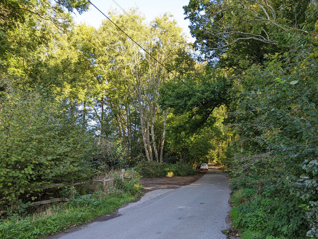
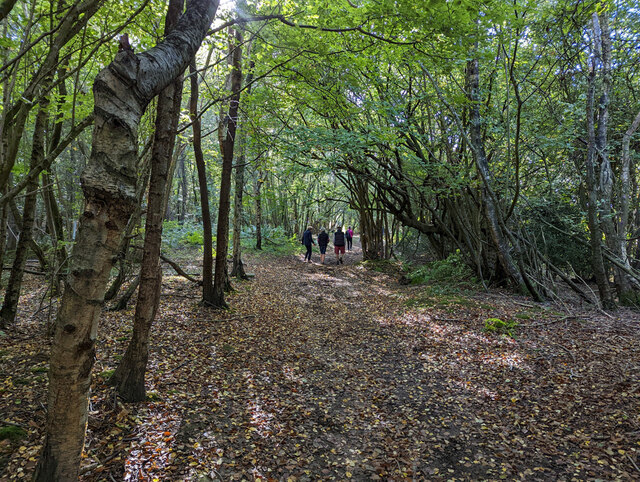
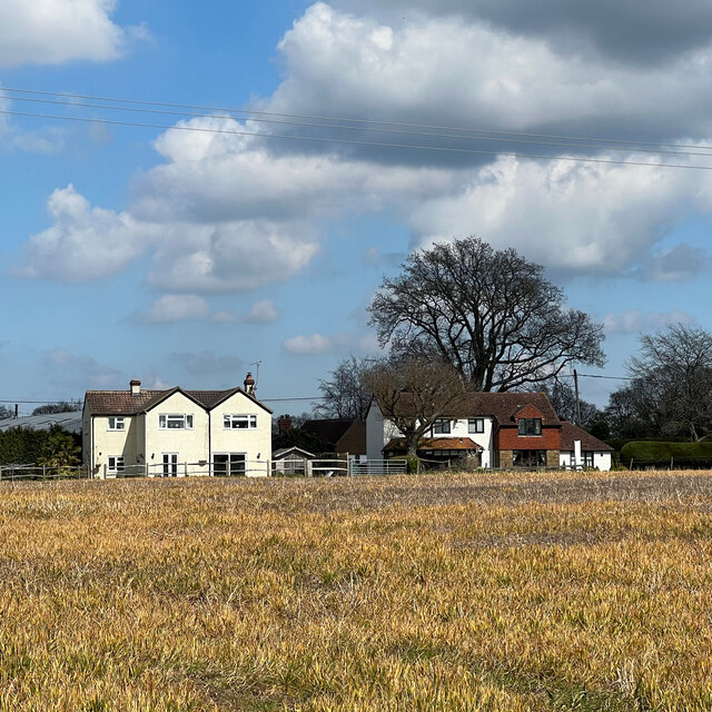
Cook's Copse is a picturesque woodland located in Sussex, England. Set within the beautiful South Downs National Park, it covers an area of approximately 50 acres. The copse is characterized by its dense and diverse collection of trees, creating a rich and vibrant ecosystem.
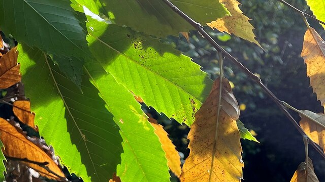
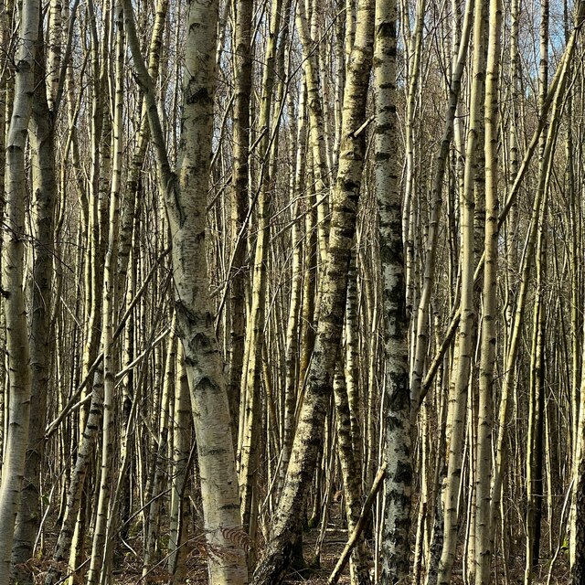
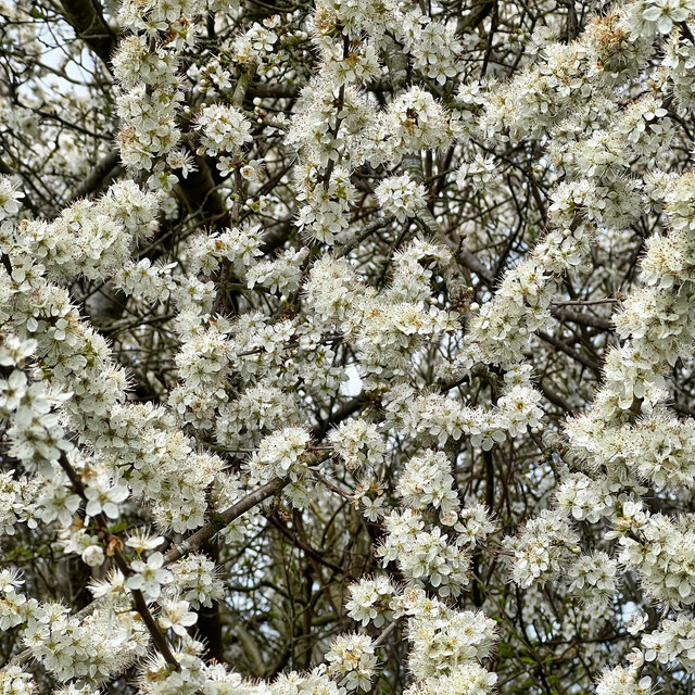
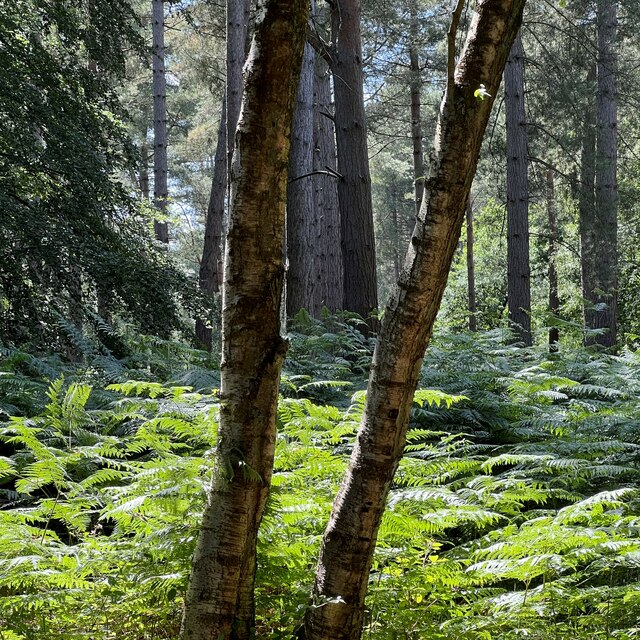
The woodland is predominantly made up of native species such as oak, beech, ash, and birch trees, which provide a stunning canopy of foliage throughout the year. This variety of trees supports a wide array of wildlife, including numerous bird species, small mammals, and insects.
The forest floor of Cook's Copse is covered in a thick carpet of moss, ferns, and wildflowers, adding to the enchanting atmosphere. The woodland is intersected by several footpaths and trails, allowing visitors to explore and immerse themselves in the natural beauty of the area.
Due to its location in the South Downs, Cook's Copse offers breathtaking views of the surrounding countryside, with rolling hills and meadows stretching into the distance. It is a popular destination for nature enthusiasts, hikers, and photographers, who are captivated by its tranquil ambiance and stunning vistas.
Managed by the local authorities, Cook's Copse is carefully preserved to maintain its natural integrity. The woodland not only serves as a recreational area but also plays a vital role in carbon sequestration and maintaining the ecological balance of the region.
Overall, Cook's Copse is a cherished natural gem in Sussex, offering visitors a peaceful retreat and an opportunity to appreciate the beauty and diversity of England's woodlands.
If you have any feedback on the listing, please let us know in the comments section below.
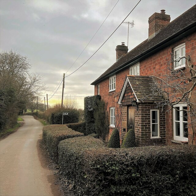
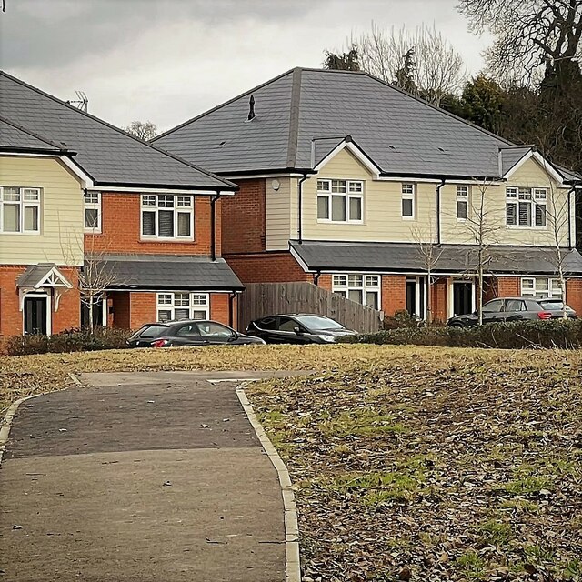
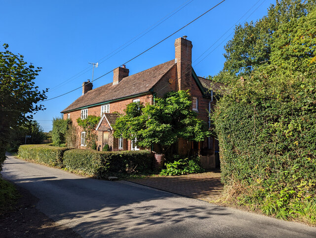
Cook's Copse Images
Images are sourced within 2km of 51.028468/-0.29287817 or Grid Reference TQ1926. Thanks to Geograph Open Source API. All images are credited.


Cook's Copse is located at Grid Ref: TQ1926 (Lat: 51.028468, Lng: -0.29287817)
Administrative County: West Sussex
District: Horsham
Police Authority: Sussex
What 3 Words
///regret.rival.insurers. Near Southwater, West Sussex
Nearby Locations
Related Wikis

Southwater & Nuthurst (electoral division)
Southwater & Nuthurst is an electoral division of West Sussex in the United Kingdom and returns one member to sit on West Sussex County Council. The current...

Nuthurst
Nuthurst is a village and civil parish in the Horsham district of West Sussex, England. The north of the parish borders Horsham town, with Nuthurst village...

Monk's Gate
Monk's Gate is a hamlet in the civil parish of Nuthurst, in the Horsham District of West Sussex, England. It lies on the A281 road 3 miles (5 km) southeast...

Mannings Heath
Mannings Heath is a village in the civil parish of Nuthurst and the Horsham District of West Sussex, England. The village is on the A281 road, 2 miles...

Lower Beeding
Lower Beeding is a village and civil parish in the Horsham District of West Sussex, England. The village lies on the B2110, B2115 and A281 roads 3.5 miles...

Newells Preparatory School
Newells Preparatory School came to Lower Beeding, Sussex, in 1946. It has been at Handcross and known as Handcross Park School since 1968. It merged with...

Maplehurst, West Sussex
Maplehurst is a hamlet in the civil parish of Nuthurst, and the Horsham District of West Sussex, England. The hamlet is on the Copsale to Nuthurst road...

Leonardslee
Leonardslee is an English country house and English landscape garden and woodland garden in Lower Beeding, near Horsham, West Sussex, England. The Grade...
Nearby Amenities
Located within 500m of 51.028468,-0.29287817Have you been to Cook's Copse?
Leave your review of Cook's Copse below (or comments, questions and feedback).