Blue Lagoon
Lake, Pool, Pond, Freshwater Marsh in Bedfordshire
England
Blue Lagoon

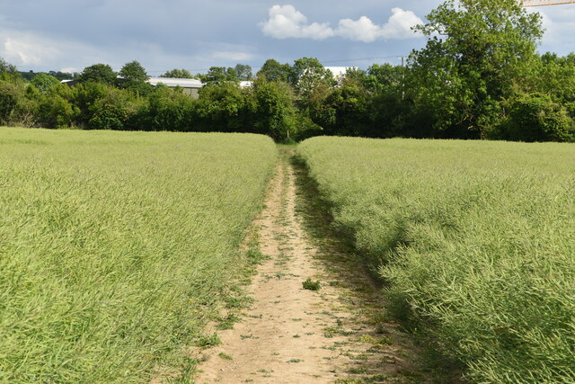
Blue Lagoon, located in Bedfordshire, is a charming freshwater marsh nestled within a picturesque landscape. Spanning across an area of approximately 10 acres, it comprises of a lake, pool, pond, and a diverse range of flora and fauna.
The centerpiece of Blue Lagoon is its tranquil lake, which boasts crystal-clear water that reflects the surrounding vibrant greenery. The lake is fed by natural springs, ensuring a constant flow of fresh water throughout the year. With a depth ranging from two to six meters, it offers ample space for various water activities, including swimming, kayaking, and paddleboarding.
Adjacent to the lake is a small pool that is perfect for children and those seeking a more relaxed swimming experience. Shaded by overhanging trees, it provides a calm and serene ambiance, ideal for sunbathing or enjoying a leisurely dip.
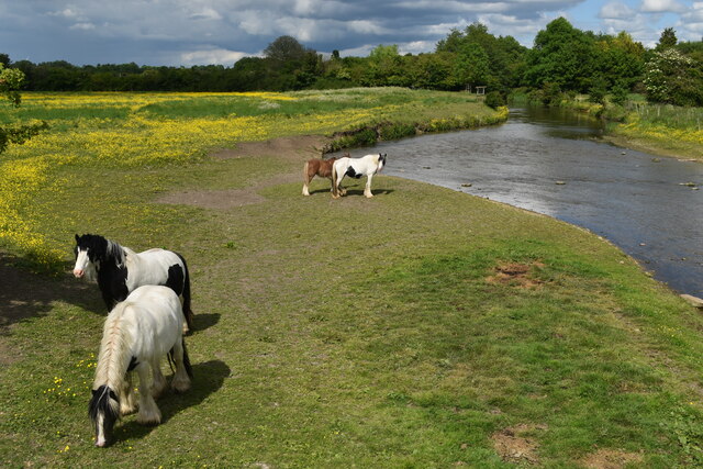
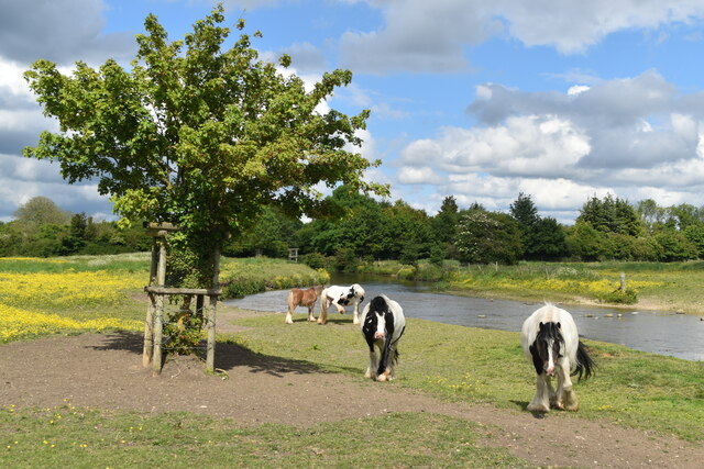
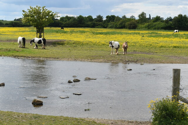
The lagoon also features a charming pond, which is home to an array of aquatic plants and wildlife. Visitors can observe various species of ducks, geese, and other water birds, as well as fish such as carp and perch, thriving in this natural habitat.
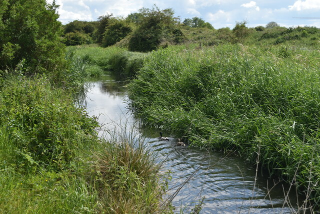
Surrounding the water bodies is a lush freshwater marsh, brimming with diverse vegetation. Tall reeds, water lilies, and marsh grasses create a vibrant ecosystem, providing a habitat for numerous insects, amphibians, and small mammals.
Blue Lagoon offers a peaceful retreat for nature enthusiasts, providing an opportunity to immerse themselves in the beauty of the natural world. Whether it's exploring the lake, observing wildlife, or simply enjoying the tranquility, this hidden gem in Bedfordshire is a haven for those seeking a connection with nature.
If you have any feedback on the listing, please let us know in the comments section below.
Blue Lagoon Images
Images are sourced within 2km of 51.994391/-0.25797246 or Grid Reference TL1934. Thanks to Geograph Open Source API. All images are credited.


Blue Lagoon is located at Grid Ref: TL1934 (Lat: 51.994391, Lng: -0.25797246)
Unitary Authority: Central Bedfordshire
Police Authority: Bedfordshire
What 3 Words
///shut.gladiators.tortoises. Near Arlesey, Bedfordshire
Nearby Locations
Related Wikis

Fairfield, Bedfordshire
Fairfield (originally known as Fairfield Park) is a village and civil parish located in the Central Bedfordshire district of Bedfordshire, England. �...

Baldock Town F.C.
Baldock Town Football Club is a football club based in Baldock, Hertfordshire, England. Having originally been established in 1905, the current version...
Arlesey Town F.C.
Arlesey Town Football Club is a football club based in Arlesey, Bedfordshire, England. Affiliated to the Bedfordshire County Football Association, they...
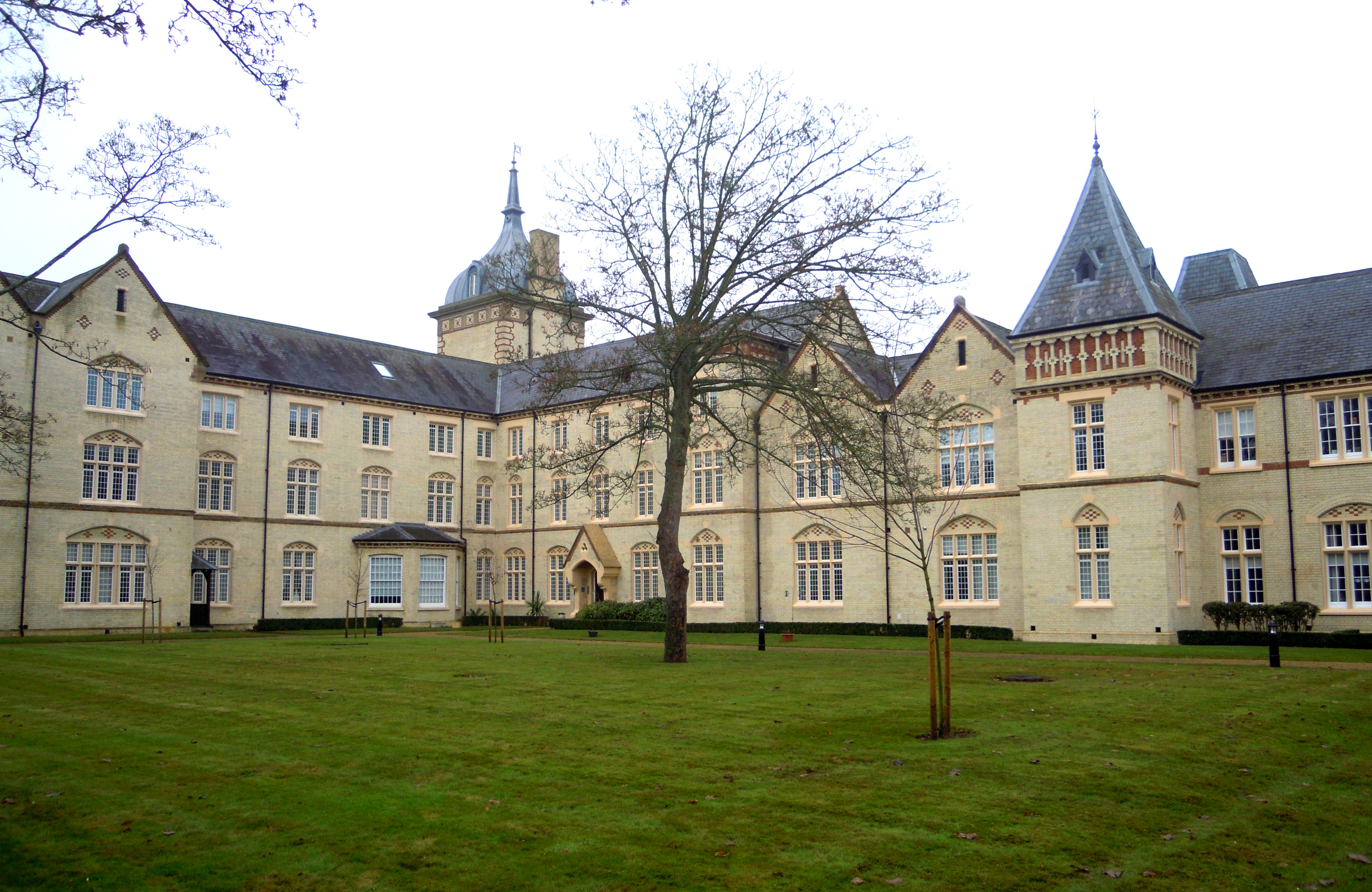
Fairfield Hospital, Bedfordshire
Fairfield Hospital in Fairfield, Bedfordshire, England was a psychiatric hospital from 1860 to 1999. It is a Grade II listed building. == History == Construction...
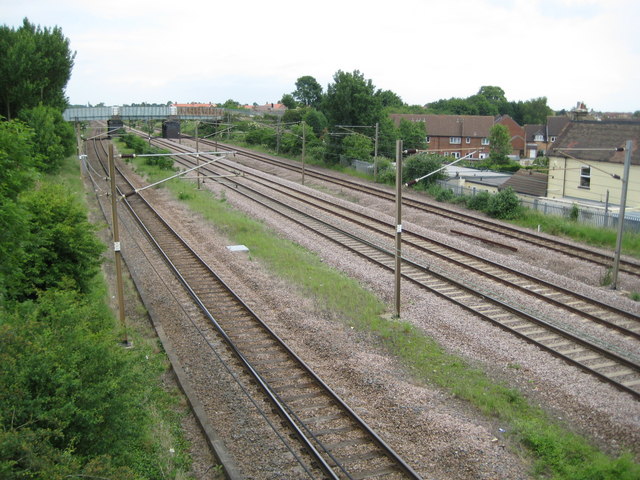
Three Counties railway station
Three Counties railway station is a disused railway station near Arlesey in Bedfordshire, England. It served the southern environs of Arlesey. These included...

Arlesey
Arlesey ( ARL-zee) is a town and civil parish in the Central Bedfordshire district of Bedfordshire, England. It is near the border with Hertfordshire,...
Letchworth Cemetery
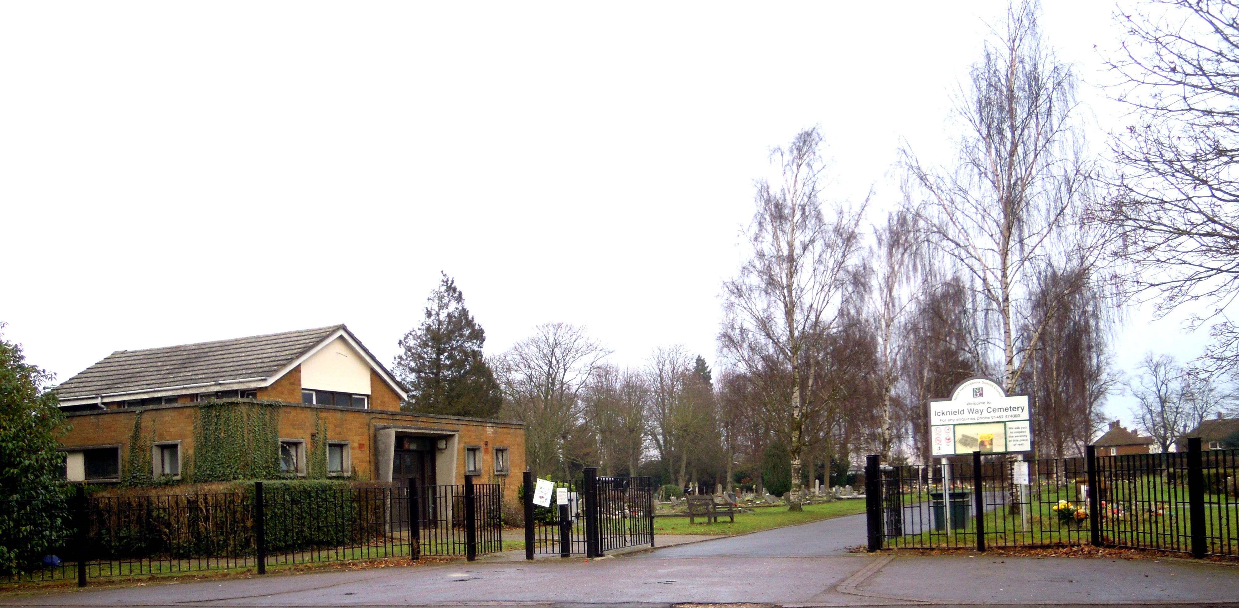
Letchworth Cemetery (properly the Icknield Way Cemetery) was the first burial ground for Letchworth Garden City in Hertfordshire. Letchworth's first cemetery...
Wilbury Hill Camp
Wilbury Hill Camp is a late Bronze Age (about 700 BC) hill fort west of Letchworth in Hertfordshire. It and Arbury Banks near Ashwell are two of a line...
Nearby Amenities
Located within 500m of 51.994391,-0.25797246Have you been to Blue Lagoon?
Leave your review of Blue Lagoon below (or comments, questions and feedback).