Green Lagoon

Lake, Pool, Pond, Freshwater Marsh in Bedfordshire

England

Green Lagoon

River Hiz west of Arlesey
River Hiz west of Arlesey Credit: David Martin

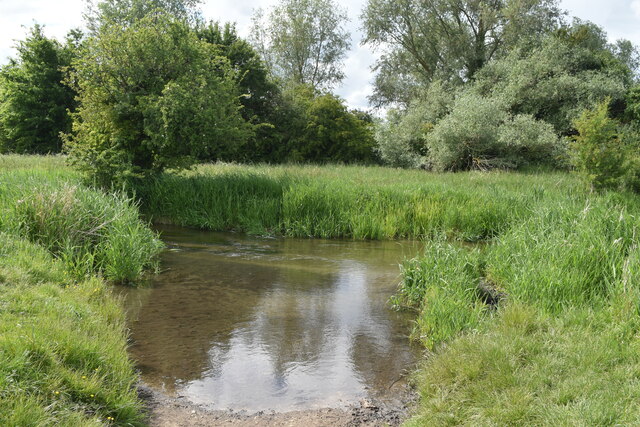
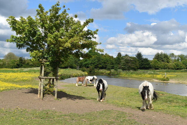
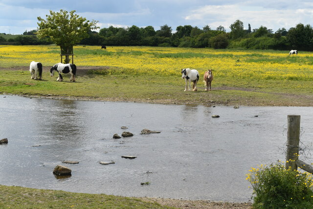
Green Lagoon, located in Bedfordshire, is a picturesque body of water nestled amidst a serene natural landscape. It can be categorized as a freshwater marsh, encompassing not only a lake but also a pool and a pond. Spanning an area of approximately 2 hectares, the lagoon is a haven for both wildlife and nature enthusiasts.

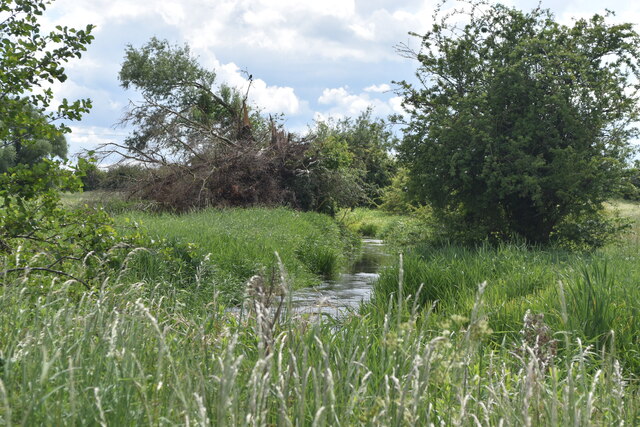
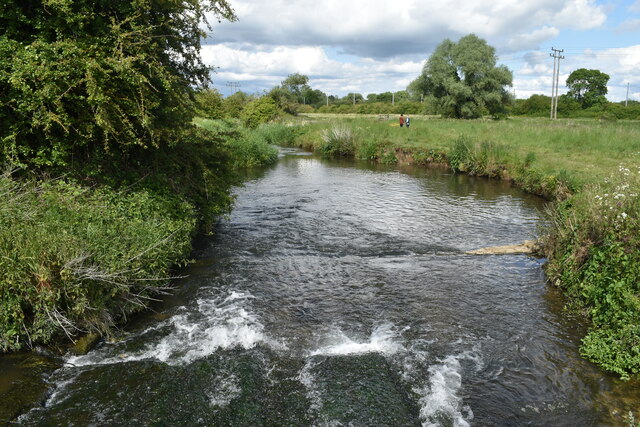
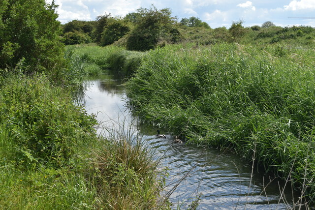
The lagoon is characterized by its calm, still waters, which reflect the surrounding greenery, creating a picturesque sight. The lake, with its depth varying from shallow to moderately deep, supports a diverse range of aquatic life, including various species of fish, amphibians, and water insects. The pool, on the other hand, is comparatively smaller and shallower, providing a habitat for several aquatic plants and smaller organisms.

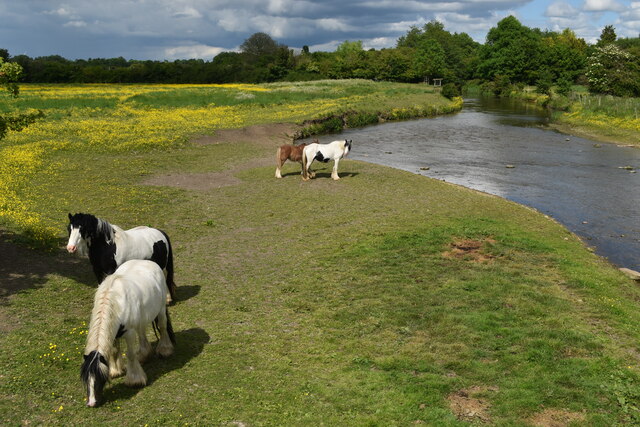
Surrounding the lagoon is a lush, verdant freshwater marsh, adorned with reeds, sedges, and other wetland vegetation. This marshland acts as a vital breeding ground and habitat for numerous bird species, such as herons, ducks, and swans. Additionally, it attracts an array of migratory birds during certain seasons, making it a popular spot for birdwatchers.

The lagoon offers several recreational opportunities for visitors. With its tranquil atmosphere and scenic beauty, it provides an ideal location for activities such as fishing, boating, and birdwatching. The calm waters are perfect for kayaking or canoeing, allowing visitors to explore the diverse flora and fauna that thrive in and around the lagoon.

Overall, Green Lagoon in Bedfordshire is a captivating freshwater marsh, comprising a lake, pool, and pond. Its serene environment, abundant wildlife, and recreational possibilities make it a delightful destination for nature lovers and those seeking a peaceful escape in the heart of nature.

If you have any feedback on the listing, please let us know in the comments section below.
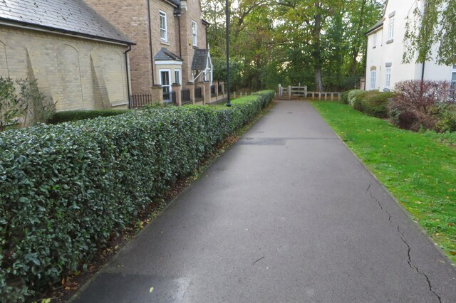
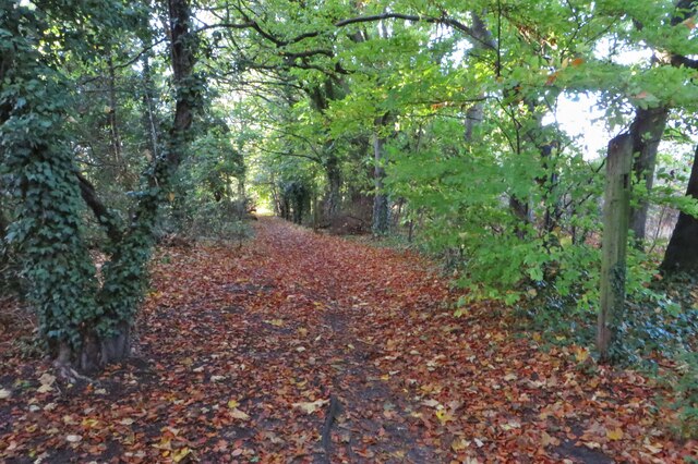
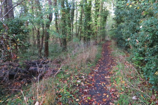
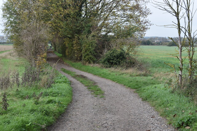
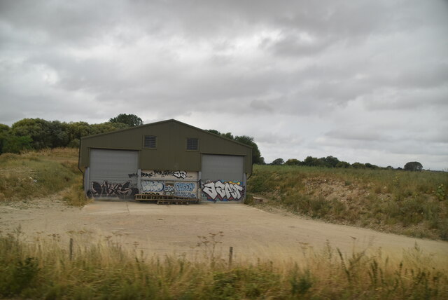
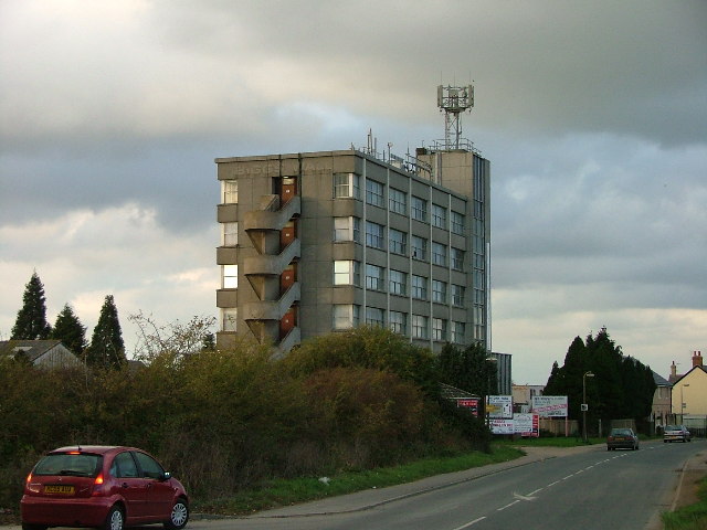
Green Lagoon Images

Images are sourced within 2km of 51.999324/-0.25596 or Grid Reference TL1934. Thanks to Geograph Open Source API. All images are credited.

River Hiz west of Arlesey
Weir on River Hiz west of Arlesey View from the footbridge.
Weir on River Hiz west of Arlesey
View from the footbridge.
Ponies grazing beside the River Hiz The high vantage point is the end of the footbridge.
Ponies grazing beside the River Hiz
The high vantage point is the end of the footbridge.
Ponies grazing beside the River Hiz
River Hiz, ponies and buttercups
River Hiz west of Arlesey This is a river with frequent changes of channel width and appearance - compare with <a href="https://www.geograph.org.uk/photo/7188064">TL1835 : Ponies grazing beside the River Hiz</a> just 500m downstream!
River Hiz west of Arlesey
This is a river with frequent changes of channel width and appearance - compare with TL1835 : Ponies grazing beside the River Hiz just 500m downstream!
Footpath through crops towards Arlesey The crop is oilseed rape after the yellow flowers.
Footpath through crops towards Arlesey
The crop is oilseed rape after the yellow flowers.
Footpath out of Fairfield into the woods
Footpath through the woods to Arlesey
Path by the Green Lagoon
Bend in path between Fairfield and Arlesey
Path in woods near Green Lagoon
Hampden House, Arlesey Formerly an office building and now converted to residential use, this is a structure very much out of keeping with its surroundings: the rest of the village primarily comprises two and three storey brick houses. For a view before conversion, see <a href="https://www.geograph.org.uk/photo/5997672">TL1935 : Hampden House, Arlesey</a>.
Hampden House, Arlesey
Formerly an office building and now converted to residential use, this is a structure very much out of keeping with its surroundings: the rest of the village primarily comprises two and three storey brick houses. For a view before conversion, see TL1935 : Hampden House, Arlesey.
Graffitied shed
Graffitied shed
View from Arlesey New Road. I think that Arlseley New Road is an unofficial name.  The view here is from Hertfordshire into Bedfordshire (here be dragons!).
View from Arlesey New Road.
I think that Arlseley New Road is an unofficial name. The view here is from Hertfordshire into Bedfordshire (here be dragons!).
The Biggs Wall building. This local landmark was the offices of a large local construction company.  The building is now let out as offices to smaller companies.  It still fronts the area marked on the OS map as "works".
The Biggs Wall building.
This local landmark was the offices of a large local construction company. The building is now let out as offices to smaller companies. It still fronts the area marked on the OS map as "works".
Cement works. This car park serves a large office block and cement works in Arlesey.  This is behind the Biggs Wall building.
Cement works.
This car park serves a large office block and cement works in Arlesey. This is behind the Biggs Wall building.
Show me another place!

Green Lagoon is located at Grid Ref: TL1934 (Lat: 51.999324, Lng: -0.25596)

Unitary Authority: Central Bedfordshire

Police Authority: Bedfordshire

What 3 Words

///verifying.handle.officer. Near Arlesey, Bedfordshire

Nearby Locations

Green Lagoon Blue Lagoon

Related Wikis

Fairfield, Bedfordshire

Fairfield (originally known as Fairfield Park) is a village and civil parish located in the Central Bedfordshire district of Bedfordshire, England. �...

Baldock Town F.C.

Baldock Town Football Club is a football club based in Baldock, Hertfordshire, England. Having originally been established in 1905, the current version...

Arlesey Town F.C.

Arlesey Town Football Club is a football club based in Arlesey, Bedfordshire, England. Affiliated to the Bedfordshire County Football Association, they...

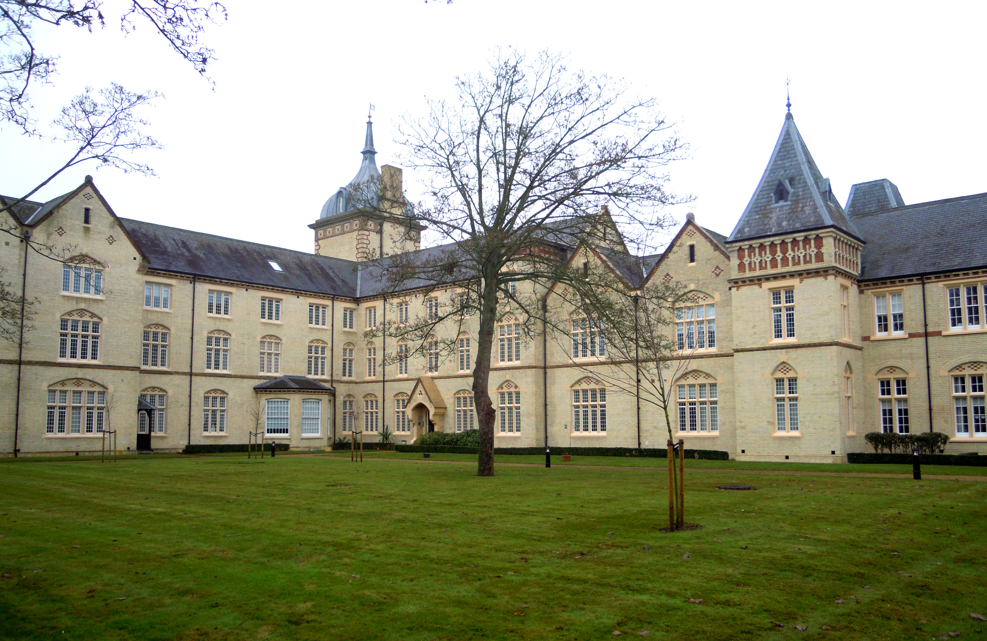
Fairfield Hospital, Bedfordshire

Fairfield Hospital in Fairfield, Bedfordshire, England was a psychiatric hospital from 1860 to 1999. It is a Grade II listed building. == History == Construction...

Nearby Amenities

Located within 500m of 51.999324,-0.25596
Crossing
Crossing: unmarked
Traffic Calming: choker
Lat/Long: 51.9971917/-0.2497136
Turning Circle
Turning Circle: square
Lat/Long: 51.9988197/-0.2508382
Fixme: Limit of survey
Lat/Long: 52.0024224/-0.2508113
Leisure: slipway
Lat/Long: 51.996046/-0.2585225
Noexit: yes
Lat/Long: 51.9985666/-0.2487761
Noexit: yes
Lat/Long: 51.998503/-0.250767
Turning Circle
Turning Circle: hammer
Lat/Long: 51.9963822/-0.2529153
Power: pole
Lat/Long: 52.0016304/-0.2601984
Power: pole
Lat/Long: 52.0008956/-0.2600831
Power: pole
Lat/Long: 51.9955886/-0.2543379
Power: pole
Lat/Long: 52.000799/-0.2591067
Power: pole
Lat/Long: 52.0000931/-0.2590558
Power: pole
Lat/Long: 52.0018649/-0.2613652
Power: pole
Lat/Long: 51.9995498/-0.2574706
Power: pole
Lat/Long: 52.0023553/-0.2611479
Power: pole
Lat/Long: 51.995588/-0.2545738
Power: pole
Lat/Long: 51.9968118/-0.2547884
Power: pole
Lat/Long: 51.9976953/-0.2559471
Power: pole
Lat/Long: 51.9988389/-0.2565627
Power: pole
Lat/Long: 51.9993648/-0.2580902
Power: pole
Lat/Long: 51.9985953/-0.2571005
Power: pole
Lat/Long: 52.0000465/-0.2581212
Power: pole
Lat/Long: 51.9974913/-0.254775
Power: pole
Lat/Long: 51.998118/-0.2555998
Noexit: yes
Lat/Long: 52.0027572/-0.2516108
Barrier: bollard
Lat/Long: 52.0017363/-0.2527107
Crossing
Crossing: unmarked
Lat/Long: 52.000522/-0.2522469
Power: pole
Lat/Long: 51.9968231/-0.2546708
Crossing
Crossing: unmarked
Lat/Long: 52.0005963/-0.2529636
Give Way
Direction: forward
Lat/Long: 51.9971997/-0.2499355
Direction: 175
Generator Method: photovoltaic
Generator Output Electricity: yes
Generator Solar Modules: 16
Generator Source: solar
Generator Type: solar_photovoltaic_panel
Location: roof
Power: generator
Lat/Long: 51.9981354/-0.2538794
Noexit: yes
Lat/Long: 51.9997663/-0.2541698
Direction: 205
Generator Method: photovoltaic
Generator Output Electricity: yes
Generator Solar Modules: 11
Generator Source: solar
Generator Type: solar_photovoltaic_panel
Location: roof
Power: generator
Lat/Long: 52.0020714/-0.2523647
Direction: 115
Generator Method: photovoltaic
Generator Output Electricity: yes
Generator Solar Modules: 5
Generator Source: solar
Generator Type: solar_photovoltaic_panel
Location: roof
Power: generator
Lat/Long: 52.0020699/-0.2524445
Direction: 205
Generator Method: photovoltaic
Generator Output Electricity: yes
Generator Solar Modules: 11
Generator Source: solar
Generator Type: solar_photovoltaic_panel
Location: roof
Power: generator
Lat/Long: 52.002174/-0.2522888
Direction: 115
Generator Method: photovoltaic
Generator Output Electricity: yes
Generator Solar Modules: 5
Generator Source: solar
Generator Type: solar_photovoltaic_panel
Location: roof
Power: generator
Lat/Long: 52.0022397/-0.2523038
Turning Circle
Turning Circle: square
Lat/Long: 52.00115/-0.2528475
Direction: 205
Generator Method: photovoltaic
Generator Solar Modules: 5
Generator Source: solar
Generator Type: solar_photovoltaic_panel
Location: roof
Power: generator
Lat/Long: 52.0004483/-0.2534958
Direction: 205
Generator Method: photovoltaic
Generator Solar Modules: 5
Generator Source: solar
Generator Type: solar_photovoltaic_panel
Location: roof
Power: generator
Lat/Long: 52.0004778/-0.2537017
Turning Circle
Turning Circle: knuckle
Lat/Long: 52.0002197/-0.2513719
Barrier: block
Lat/Long: 52.0013923/-0.2515945
Traffic Signals
Traffic Signals: signal
Lat/Long: 51.9970863/-0.2519467
The data included in this document is from www.openstreetmap.org. The data is made available under ODbL.

Have you been to Green Lagoon?

Leave your review of Green Lagoon below (or comments, questions and feedback).