Vann Lake
Lake, Pool, Pond, Freshwater Marsh in Surrey Mole Valley
England
Vann Lake
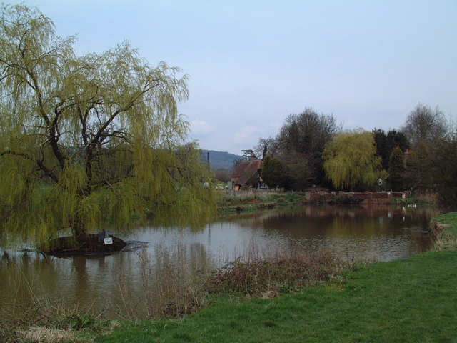
Vann Lake, located in Surrey, England, is a picturesque freshwater marsh encompassing an area of approximately 10 acres. Situated within the grounds of Vann House, a beautiful 16th-century manor house, the lake offers a tranquil and serene environment for visitors to enjoy.
The lake itself is characterized by its calm, still waters, reflecting the surrounding lush greenery and creating a stunning natural spectacle. Its depths vary, with some areas being shallow and others reaching a depth of around 10 feet. This diversity in depth creates an ideal habitat for a wide range of aquatic flora and fauna.
Surrounded by a mosaic of wetland habitats, including reed beds and water meadows, Vann Lake is known for its rich biodiversity. The marshland supports an array of plant species such as water lilies, reeds, and rushes, which provide a vital habitat for numerous insects, amphibians, and birds. Species commonly sighted in the area include dragonflies, damselflies, herons, and various waterfowl.
The lake is a popular destination for nature enthusiasts, birdwatchers, and photographers, who flock to witness the wealth of wildlife that calls Vann Lake its home. Visitors can explore the lake's surroundings via footpaths and trails, allowing for a leisurely stroll to appreciate the natural beauty or a peaceful spot to sit and observe the diverse wildlife.
Overall, Vann Lake in Surrey offers a peaceful retreat from the bustle of everyday life, providing a haven for both wildlife and humans alike to enjoy the wonders of nature in a stunning freshwater marsh setting.
If you have any feedback on the listing, please let us know in the comments section below.
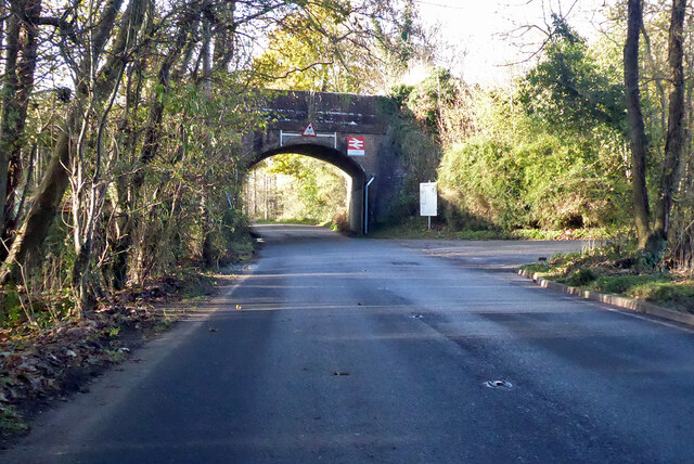
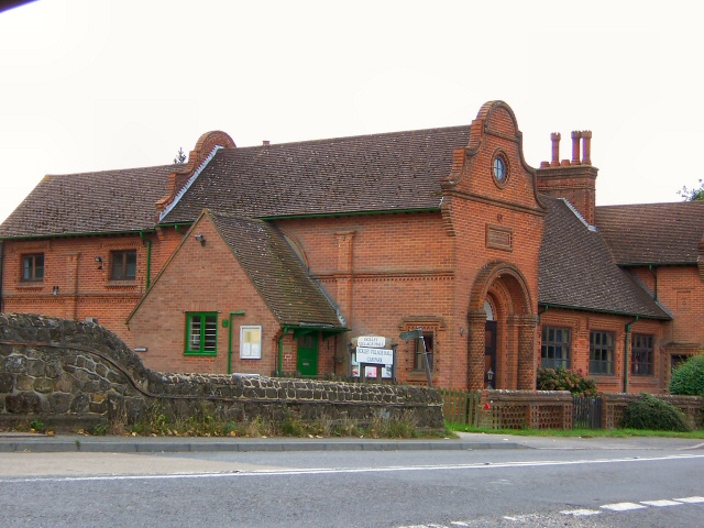
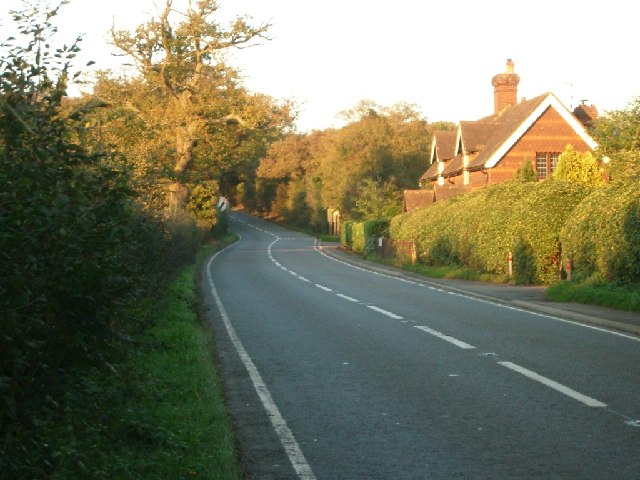
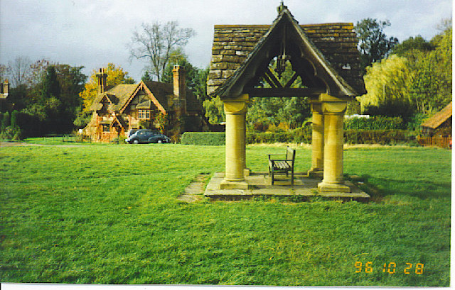
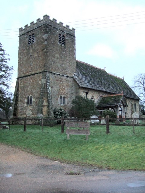
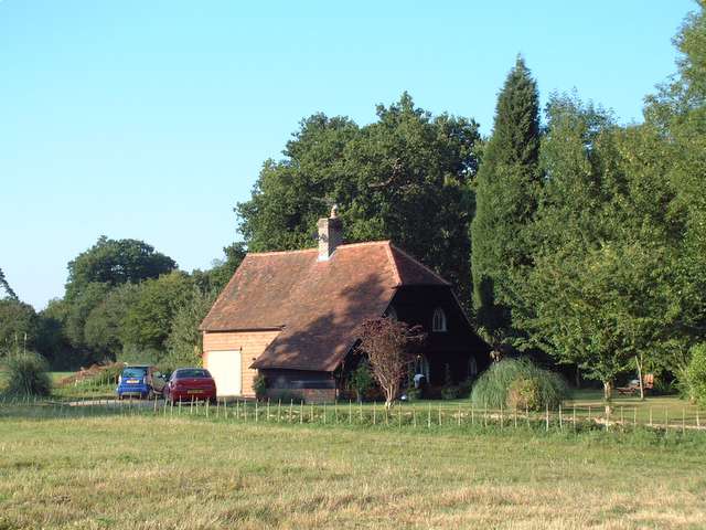
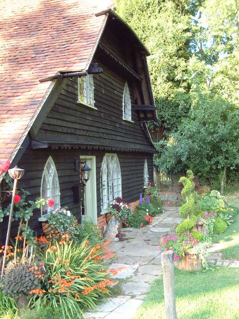
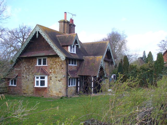
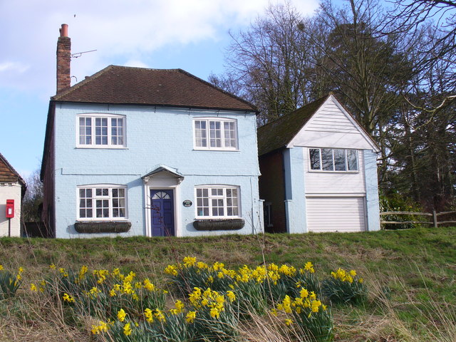
Vann Lake Images
Images are sourced within 2km of 51.142572/-0.34872965 or Grid Reference TQ1539. Thanks to Geograph Open Source API. All images are credited.
Vann Lake is located at Grid Ref: TQ1539 (Lat: 51.142572, Lng: -0.34872965)
Administrative County: Surrey
District: Mole Valley
Police Authority: Surrey
What 3 Words
///robot.wedding.fluffed. Near Capel, Surrey
Nearby Locations
Related Wikis

Vann Lake and Ockley Woods
Vann Lake and Ockley Woods is a 57.8-hectare (143-acre) biological Site of Special Scientific Interest south of Ockley in Surrey. Vann Lake is part of...

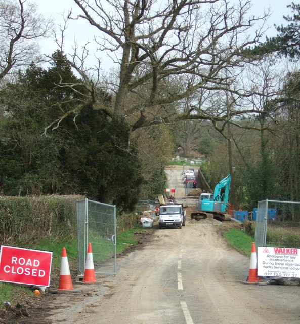
Ockley
Ockley is a rural village in Surrey. It lies astride the A29, the modern road using the alignment of Stane Street (Chichester). The A29 diverges from the...

Auclaye
Auclaye is a 0.6-hectare (1.5-acre) geological Site of Special Scientific Interest south of Capel in Surrey. It is a Geological Conservation Review site...

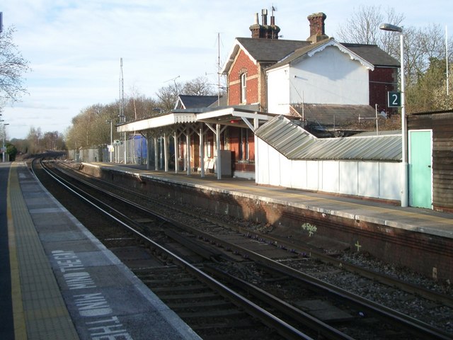
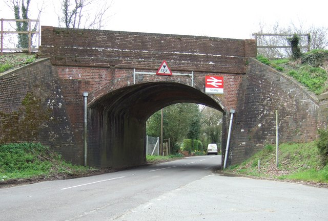
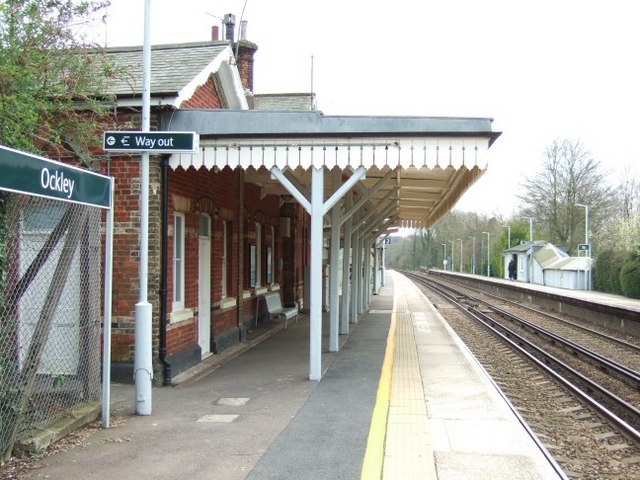
Ockley railway station
Ockley railway station serves the villages of Ockley and Capel in Surrey, England and is 1.4 miles (2.3 km) from Ockley village and 0.5 miles (0.80 km...

Clock House Brickworks
Clock House Brickworks is a 35.9-hectare (89-acre) geological Site of Special Scientific Interest south of Capel in Surrey. It is a Geological Conservation...

Capel, Surrey
Capel () is a village and civil parish in southern Surrey, England. It is equidistant between Dorking and Horsham – about 5 miles (8.0 km) away. Around...
Shiremark Mill, Capel
Shiremark Mill, also known as Kingsfold Mill or Capel Mill was a listed Smock mill at Capel, Surrey, England, which was burnt down in 1972. == History... ==

Greensand Ridge
The Greensand Ridge, also known as the Wealden Greensand, is an extensive, prominent, often wooded, mixed greensand/sandstone escarpment in south-east...
Nearby Amenities
Located within 500m of 51.142572,-0.34872965Have you been to Vann Lake?
Leave your review of Vann Lake below (or comments, questions and feedback).