Wickney Holt
Wood, Forest in Surrey Mole Valley
England
Wickney Holt
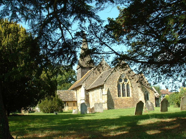
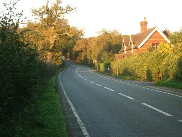
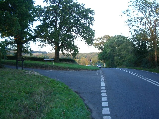
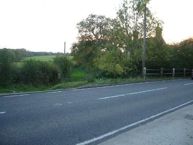
Wickney Holt is a picturesque village located in the county of Surrey, England. Situated amidst an enchanting woodland and forest area, the village offers a serene and idyllic setting for residents and visitors alike.
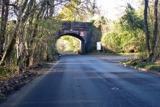
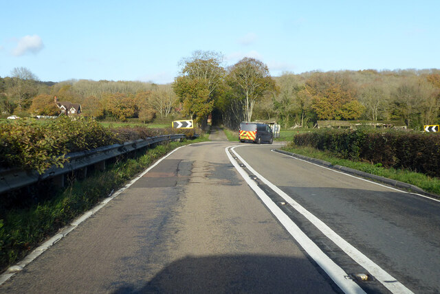
The village is characterized by its stunning natural beauty, with lush greenery and tall trees that surround the area. The enchanting forest provides a haven for wildlife, making it a popular destination for nature lovers and outdoor enthusiasts. Visitors can enjoy leisurely walks or bike rides along the numerous trails that wind their way through the woodland, providing a peaceful escape from the hustle and bustle of city life.
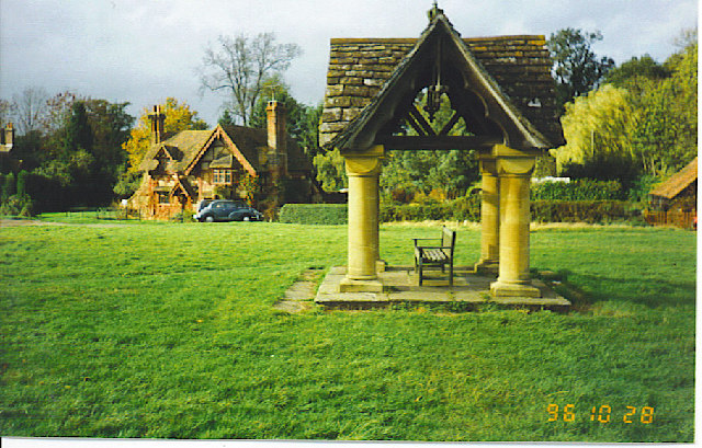
Wickney Holt is also known for its close-knit community and friendly atmosphere. The village is home to a small but vibrant population, and residents take great pride in maintaining the village's charm and character. The local pub, The Woodland Inn, is a popular gathering spot for both locals and visitors, offering a warm and welcoming ambiance.
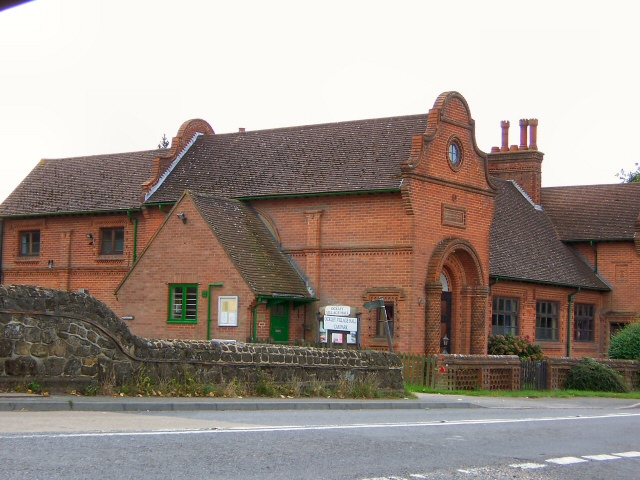
In terms of amenities, Wickney Holt offers a range of facilities to cater to its residents' needs. These include a primary school, a community center, and a small convenience store. For more extensive shopping and entertainment options, the nearby town of Guildford is easily accessible.
Overall, Wickney Holt in Surrey is a hidden gem that offers a harmonious blend of natural beauty and community spirit. Whether you are seeking tranquility in nature or a close-knit village experience, this charming woodland village has something to offer for everyone.
If you have any feedback on the listing, please let us know in the comments section below.
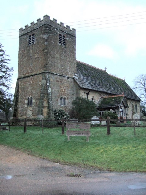
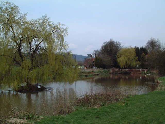
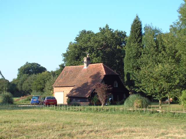
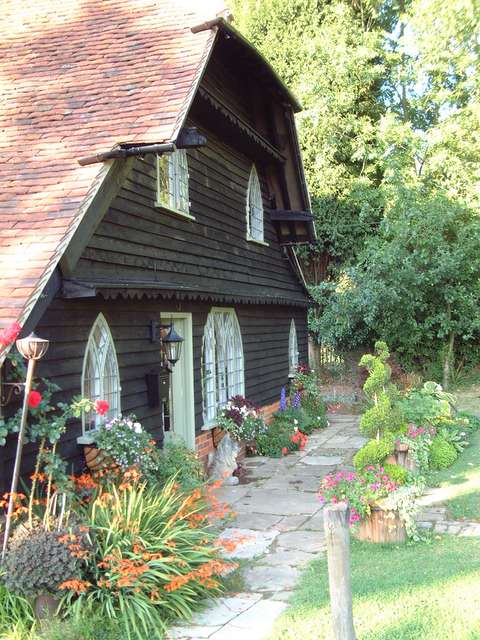
Wickney Holt Images
Images are sourced within 2km of 51.147001/-0.34655566 or Grid Reference TQ1539. Thanks to Geograph Open Source API. All images are credited.

Wickney Holt is located at Grid Ref: TQ1539 (Lat: 51.147001, Lng: -0.34655566)
Administrative County: Surrey
District: Mole Valley
Police Authority: Surrey
What 3 Words
///muted.jigging.raced. Near Capel, Surrey
Nearby Locations
Related Wikis

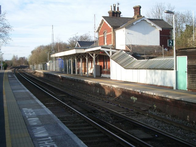
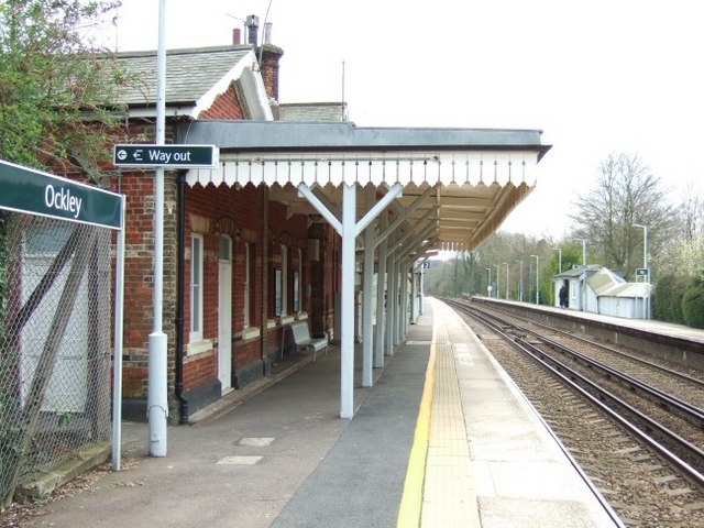
Ockley railway station
Ockley railway station serves the villages of Ockley and Capel in Surrey, England and is 1.4 miles (2.3 km) from Ockley village and 0.5 miles (0.80 km...

Vann Lake and Ockley Woods
Vann Lake and Ockley Woods is a 57.8-hectare (143-acre) biological Site of Special Scientific Interest south of Ockley in Surrey. Vann Lake is part of...

Ockley
Ockley is a rural village in Surrey. It lies astride the A29, the modern road using the alignment of Stane Street (Chichester). The A29 diverges from the...

Auclaye
Auclaye is a 0.6-hectare (1.5-acre) geological Site of Special Scientific Interest south of Capel in Surrey. It is a Geological Conservation Review site...

Capel, Surrey
Capel () is a village and civil parish in southern Surrey, England. It is equidistant between Dorking and Horsham – about 5 miles (8.0 km) away. Around...

Clock House Brickworks
Clock House Brickworks is a 35.9-hectare (89-acre) geological Site of Special Scientific Interest south of Capel in Surrey. It is a Geological Conservation...

Greensand Ridge
The Greensand Ridge, also known as the Wealden Greensand, is an extensive, prominent, often wooded, mixed greensand/sandstone escarpment in south-east...

Broome Hall
Broome Hall is a Grade II-listed country house with grounds including cottages and outhouses on the wooded, upper southern slopes of the Greensand Ridge...
Nearby Amenities
Located within 500m of 51.147001,-0.34655566Have you been to Wickney Holt?
Leave your review of Wickney Holt below (or comments, questions and feedback).