Ockley
Civil Parish in Surrey Mole Valley
England
Ockley
Ockley is a civil parish located in the Mole Valley district of Surrey, England. Situated approximately 8 miles south-west of Dorking, the village lies in the picturesque countryside of the Surrey Hills Area of Outstanding Natural Beauty. Ockley is surrounded by rolling hills, woodlands, and farmland, making it a desirable location for those seeking a peaceful and rural lifestyle.
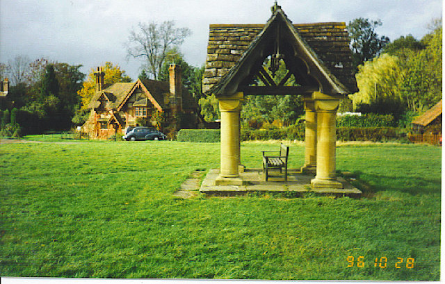
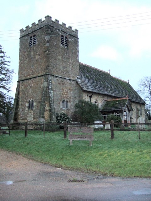
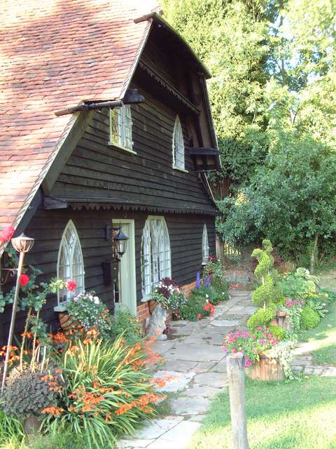
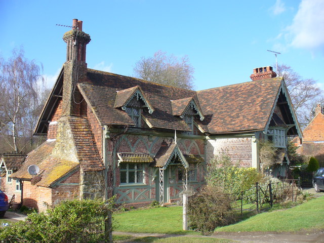
The village itself is small, with a population of around 1,600 residents. It has a quaint and charming character, with a mix of historic buildings, including traditional cottages and a beautiful medieval church, St. Margaret's. The church, dating back to the 13th century, is a focal point and a reminder of Ockley's rich history.
The village has a strong sense of community, with several local amenities and activities to cater to its residents' needs. These include a village shop, a pub, a primary school, and a village hall that hosts various events and gatherings throughout the year. Ockley also boasts several sports clubs, including cricket and tennis, providing opportunities for recreational activities.
The surrounding area offers ample opportunities for outdoor pursuits, with numerous walking and cycling routes that showcase the area's natural beauty. The nearby Leith Hill, the highest point in southeastern England, provides stunning panoramic views across the surrounding countryside.
Overall, Ockley offers a peaceful and idyllic setting, combined with a strong community spirit, making it an attractive place to live for those seeking a rural lifestyle in the heart of the Surrey countryside.
If you have any feedback on the listing, please let us know in the comments section below.
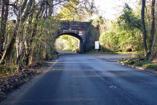
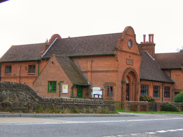
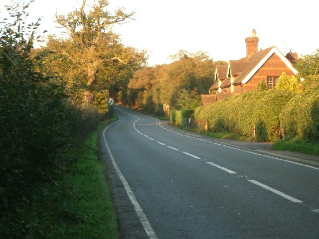
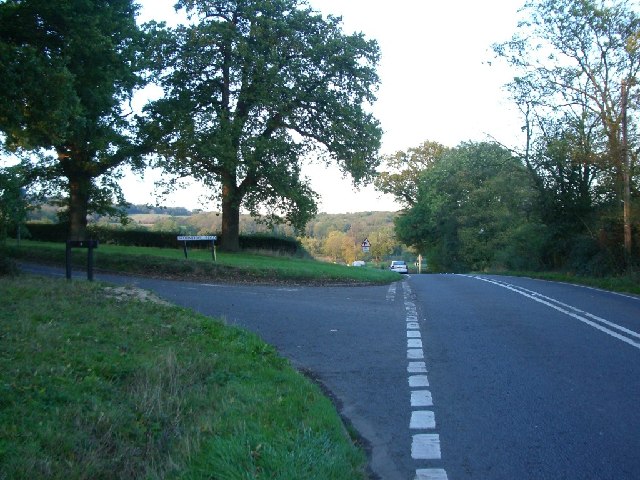
Ockley Images
Images are sourced within 2km of 51.143073/-0.354115 or Grid Reference TQ1539. Thanks to Geograph Open Source API. All images are credited.

Ockley is located at Grid Ref: TQ1539 (Lat: 51.143073, Lng: -0.354115)
Administrative County: Surrey
District: Mole Valley
Police Authority: Surrey
What 3 Words
///operation.dumplings.buckling. Near Capel, Surrey
Nearby Locations
Related Wikis

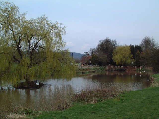
Vann Lake and Ockley Woods
Vann Lake and Ockley Woods is a 57.8-hectare (143-acre) biological Site of Special Scientific Interest south of Ockley in Surrey. Vann Lake is part of...

Ockley
Ockley is a rural village in Surrey. It lies astride the A29, the modern road using the alignment of Stane Street (Chichester). The A29 diverges from the...

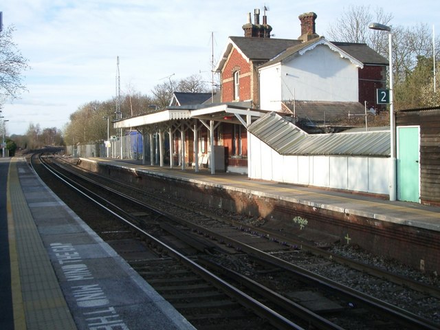
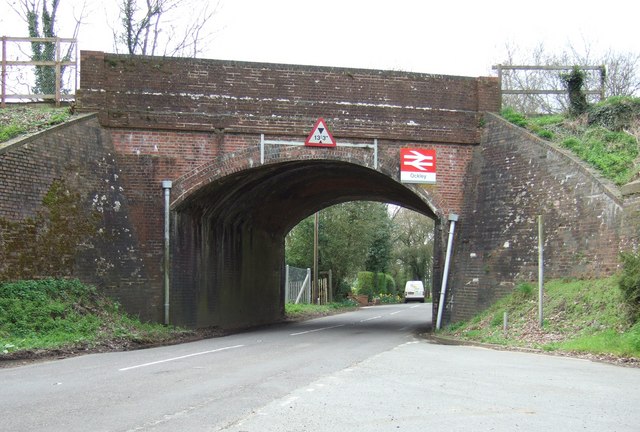
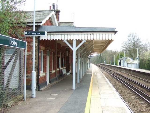
Ockley railway station
Ockley railway station serves the villages of Ockley and Capel in Surrey, England and is 1.4 miles (2.3 km) from Ockley village and 0.5 miles (0.80 km...

Auclaye
Auclaye is a 0.6-hectare (1.5-acre) geological Site of Special Scientific Interest south of Capel in Surrey. It is a Geological Conservation Review site...

Clock House Brickworks
Clock House Brickworks is a 35.9-hectare (89-acre) geological Site of Special Scientific Interest south of Capel in Surrey. It is a Geological Conservation...

Capel, Surrey
Capel () is a village and civil parish in southern Surrey, England. It is equidistant between Dorking and Horsham – about 5 miles (8.0 km) away. Around...
Shiremark Mill, Capel
Shiremark Mill, also known as Kingsfold Mill or Capel Mill was a listed Smock mill at Capel, Surrey, England, which was burnt down in 1972. == History... ==

Greensand Ridge
The Greensand Ridge, also known as the Wealden Greensand, is an extensive, prominent, often wooded, mixed greensand/sandstone escarpment in south-east...
Nearby Amenities
Located within 500m of 51.143073,-0.354115Have you been to Ockley?
Leave your review of Ockley below (or comments, questions and feedback).