Draysey Wood
Wood, Forest in Surrey Mole Valley
England
Draysey Wood
Draysey Wood is a picturesque woodland located in the county of Surrey, England. Nestled in the heart of the Surrey Hills, this ancient forest covers an area of approximately 80 hectares, making it a popular destination for nature lovers and outdoor enthusiasts.
The woodland is predominantly made up of oak and beech trees, creating a dense canopy that provides a habitat for a diverse range of wildlife. The forest floor is adorned with wildflowers and a variety of mosses, adding to the natural beauty of the area. The wood's rich biodiversity has earned it a designation as a Site of Special Scientific Interest (SSSI).
Draysey Wood is crisscrossed by a network of walking trails, allowing visitors to explore its serene surroundings. These paths wind through the forest, revealing hidden glades and babbling brooks along the way. It is a perfect spot for a leisurely stroll or a peaceful picnic amidst nature.
The wood has a rich history dating back centuries, with evidence of human activity found in the form of ancient burial mounds and Iron Age settlements. The area also played a role in the timber industry during the Middle Ages, as the trees were felled for construction and fuel.
Today, Draysey Wood is managed by a local conservation organization, ensuring the preservation of its natural beauty and protecting its wildlife. The wood offers a tranquil escape from the hustle and bustle of everyday life, inviting visitors to reconnect with nature and enjoy the peace and serenity it provides.
If you have any feedback on the listing, please let us know in the comments section below.
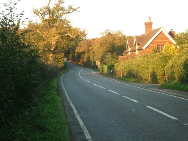
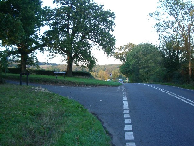
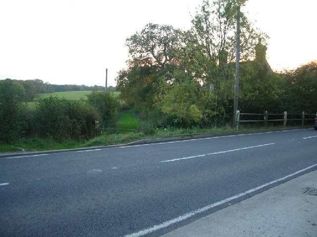
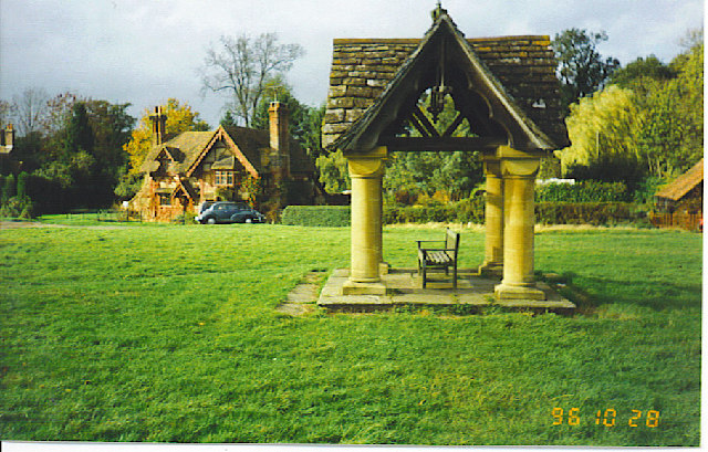
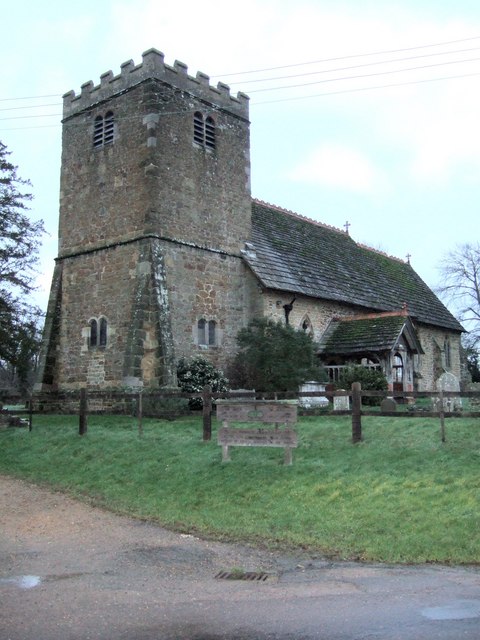
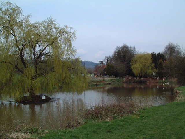
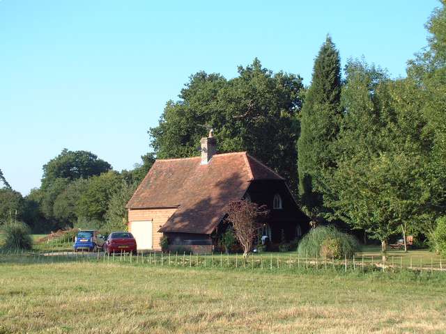
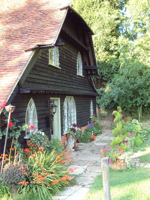
Draysey Wood Images
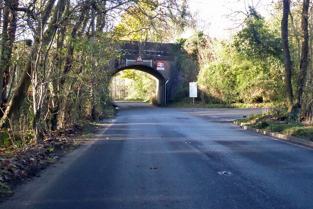
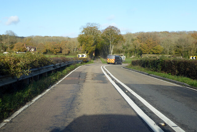
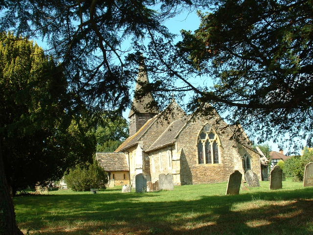
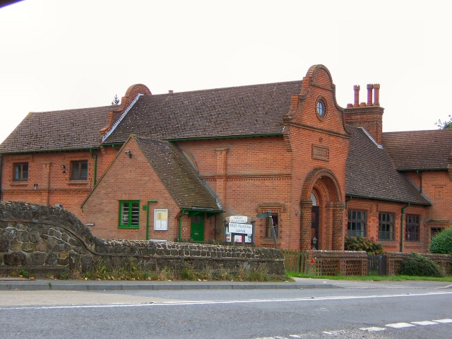
Images are sourced within 2km of 51.147088/-0.34886872 or Grid Reference TQ1539. Thanks to Geograph Open Source API. All images are credited.

Draysey Wood is located at Grid Ref: TQ1539 (Lat: 51.147088, Lng: -0.34886872)
Administrative County: Surrey
District: Mole Valley
Police Authority: Surrey
What 3 Words
///fixture.bibs.flamed. Near Capel, Surrey
Nearby Locations
Related Wikis

Ockley
Ockley is a rural village in Surrey. It lies astride the A29, the modern road using the alignment of Stane Street (Chichester). The A29 diverges from the...

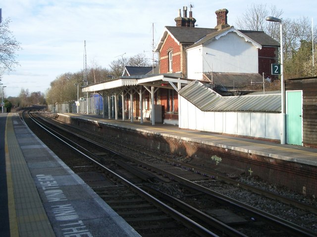
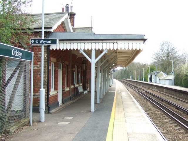
Ockley railway station
Ockley railway station serves the villages of Ockley and Capel in Surrey, England and is 1.4 miles (2.3 km) from Ockley village and 0.5 miles (0.80 km...

Vann Lake and Ockley Woods
Vann Lake and Ockley Woods is a 57.8-hectare (143-acre) biological Site of Special Scientific Interest south of Ockley in Surrey. Vann Lake is part of...

Auclaye
Auclaye is a 0.6-hectare (1.5-acre) geological Site of Special Scientific Interest south of Capel in Surrey. It is a Geological Conservation Review site...

Capel, Surrey
Capel () is a village and civil parish in southern Surrey, England. It is equidistant between Dorking and Horsham – about 5 miles (8.0 km) away. Around...

Clock House Brickworks
Clock House Brickworks is a 35.9-hectare (89-acre) geological Site of Special Scientific Interest south of Capel in Surrey. It is a Geological Conservation...

Greensand Ridge
The Greensand Ridge, also known as the Wealden Greensand, is an extensive, prominent, often wooded, mixed greensand/sandstone escarpment in south-east...

Broome Hall
Broome Hall is a Grade II-listed country house with grounds including cottages and outhouses on the wooded, upper southern slopes of the Greensand Ridge...
Nearby Amenities
Located within 500m of 51.147088,-0.34886872Have you been to Draysey Wood?
Leave your review of Draysey Wood below (or comments, questions and feedback).