Horse Pond

Lake, Pool, Pond, Freshwater Marsh in Huntingdonshire Huntingdonshire

England

Horse Pond

Grafham Road at Ellington Thorpe
Grafham Road at Ellington Thorpe Credit: David Howard

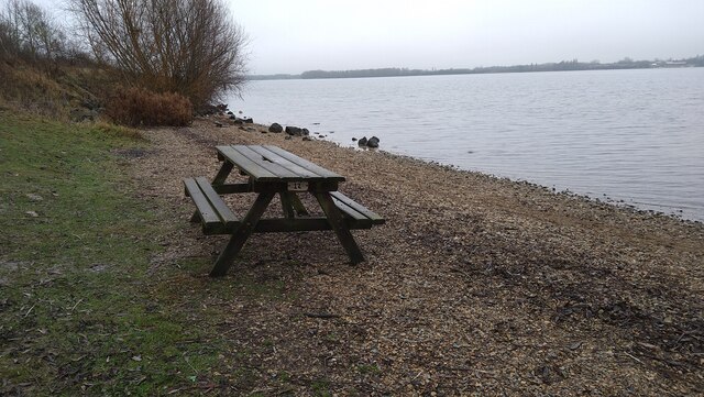
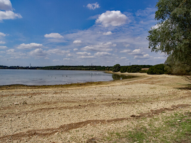
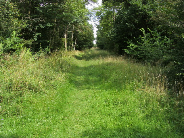
Horse Pond, located in Huntingdonshire, is a picturesque freshwater marsh nestled in the heart of the countryside. It is a small body of water, often referred to as a pond, encompassing an area of approximately 1 acre. The pond is surrounded by lush green vegetation and tall reeds, creating a serene and tranquil atmosphere.

Despite its name, Horse Pond is not primarily used for equestrian activities. It serves as a natural habitat for a variety of flora and fauna, making it a popular spot for wildlife enthusiasts and nature lovers. The marshland surrounding the pond provides a haven for numerous bird species, including ducks, geese, herons, and swans, attracting birdwatchers from near and far.

The water in Horse Pond is sourced from local springs and rainfall, ensuring a constant supply of fresh, clean water. It is relatively shallow, with an average depth of around 3 feet, making it an ideal breeding ground for amphibians such as frogs and newts.

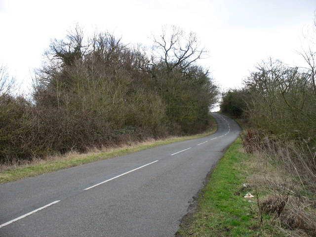
The pond is easily accessible, with a footpath running alongside it, allowing visitors to enjoy leisurely walks while taking in the beautiful scenery. There are also designated areas for fishing, attracting anglers looking for a peaceful spot to cast their lines.

Horse Pond is a haven of tranquility and natural beauty, offering visitors a chance to escape the hustle and bustle of everyday life and immerse themselves in the wonders of the countryside.

If you have any feedback on the listing, please let us know in the comments section below.
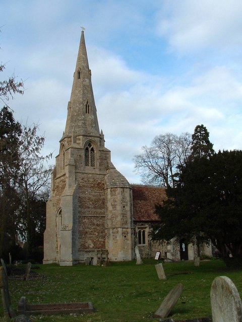
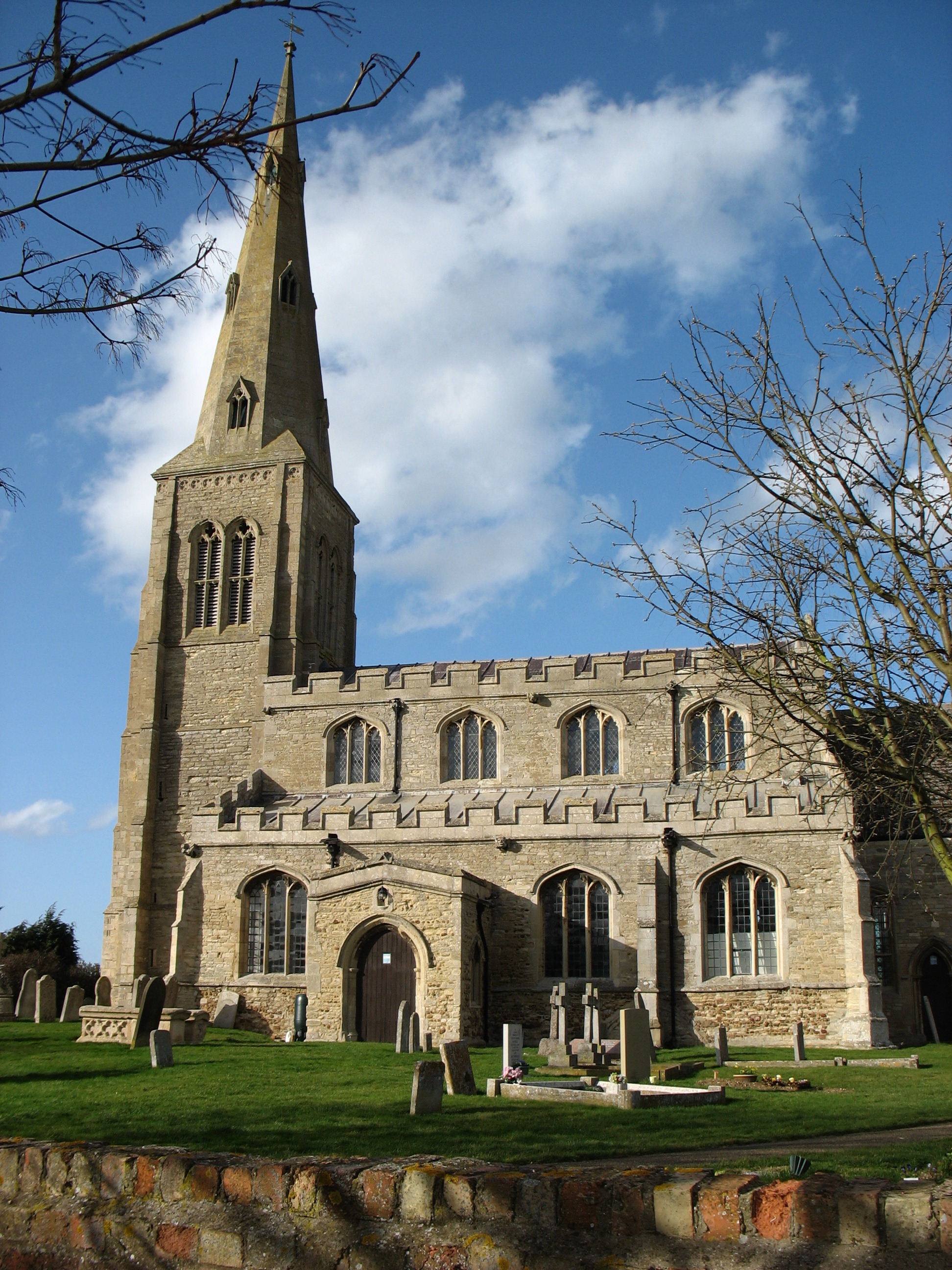
Horse Pond Images

Images are sourced within 2km of 52.311573/-0.3042256 or Grid Reference TL1569. Thanks to Geograph Open Source API. All images are credited.

Grafham Road at Ellington Thorpe
Field by Grafham Road, Ellington Thorpe
Madders Hill This road leads from Ellington to Grafham.
Madders Hill
This road leads from Ellington to Grafham.
Ellington Thorpe, looking north The cottage on the right is called The Crooked Billet.
Ellington Thorpe, looking north
The cottage on the right is called The Crooked Billet.
Hartham Street track near Grafham Water
Breach Road towards Ellington
Grafham Road at Ellington Thorpe
Hartham Street A byway though motor traffic is discouraged and barred during the winter months.
Hartham Street
A byway though motor traffic is discouraged and barred during the winter months.
Approaching Marlow, Grafham Water There's been a lot of rain and the paths are very muddy with the sticky clay local to the area.
Approaching Marlow, Grafham Water
There's been a lot of rain and the paths are very muddy with the sticky clay local to the area.
Informal car parking by Grafham Water
Picnic bench by Grafham Water
Grafham, All Saints
Grafham, All Saints
Grafham : Church of All Saints Grade I listed - <span class="nowrap"><a title="https://historicengland.org.uk/listing/the-list/list-entry/1288615?section=official-list-entry" rel="nofollow ugc noopener" href="https://historicengland.org.uk/listing/the-list/list-entry/1288615?section=official-list-entry">Link</a><img style="margin-left:2px;" alt="External link" title="External link - shift click to open in new window" src="https://s1.geograph.org.uk/img/external.png" width="10" height="10"/></span>.
Grafham : Church of All Saints
Grade I listed - LinkExternal link.
Grafham Water
Grafham Water
Play Equipment at Grafham Water A quick blast in the play park as daylight quickly faded.
Play Equipment at Grafham Water
A quick blast in the play park as daylight quickly faded.
Inflatable play area on Grafham Water
House on Buckden Road, Grafham
Show me another place!

Horse Pond is located at Grid Ref: TL1569 (Lat: 52.311573, Lng: -0.3042256)

Administrative County: Cambridgeshire

District: Huntingdonshire

Police Authority: Cambridgeshire

What 3 Words

///scorecard.monk.mural. Near Buckden, Cambridgeshire

Related Wikis

Grafham railway station

Grafham railway station was a railway station in Grafham, Cambridgeshire. The station and its line closed in 1959.In the 1990s the railway station buildings...

Grafham Water

Grafham Water is an 806.3-hectare (1,992-acre) biological Site of Special Scientific Interest (SSSI) north of Perry, Huntingdonshire. It was designated...

Grafham, Cambridgeshire

Grafham is a village and civil parish in Cambridgeshire, England. Grafham lies approximately 5 miles (8 km) south-west of Huntingdon. Grafham is situated...

Ellington, Cambridgeshire

Ellington is a village and civil parish in Cambridgeshire, England, 4 miles (6 km) west of Huntingdon in Huntingdonshire, a non-metropolitan district...

Brampton Wood

Brampton Wood is a 132.1-hectare (326-acre) biological Site of Special Scientific Interest in Cambridgeshire. The site is west of Brampton in Cambridgeshire...

Shepherd's Close

Shepherd's Close is a 1.2-hectare (3.0-acre) nature reserve south of Spaldwick in Cambridgeshire. It is managed by the Wildlife Trust for Bedfordshire...

Easton, Cambridgeshire

Easton is a village and civil parish in Cambridgeshire, England. Easton lies approximately 6 miles (10 km) west of Huntingdon, between the villages of...

Gaynes Hall

Gaynes Hall is a Grade II* listed Georgian mansion set in 20 acres (81,000 m2) of parkland in the heart of the Cambridgeshire countryside. Located in the...

Nearby Amenities

Located within 500m of 52.311573,-0.3042256
Bus Stop
Bus: yes
Public Transport: platform
Lat/Long: 52.3098018/-0.2979981
Post Box
Collection Times: Mo-Fr 09:00; Sa 07:00
Operator: Royal Mail
Post Box Type: lamp
Ref: PE28 47
Lat/Long: 52.3100851/-0.2980496
Grafham
Historic Railway: station
Railway: site
Source: OS 1:25k
Wikidata: Q5592482
Wikipedia: en:Grafham railway station
Lat/Long: 52.3103349/-0.2976038
Traffic Calming: chicane
Lat/Long: 52.3106594/-0.298291
Bus Stop
Cedar Close
Bus: yes
Naptan AtcoCode: 0500HGRAF002
Naptan Bearing: N
Naptan CommonName: Cedar Close
Naptan Indicator: near
Naptan Landmark: Cedar Close
Naptan NaptanCode: cmbgdtjg
Naptan ShortCommonName: Cedar Close
Naptan Street: Breach Road
Naptan Verified: no
Public Transport: platform
Source: naptan_import
Lat/Long: 52.3100565/-0.2982227
Power: pole
Lat/Long: 52.3125702/-0.2993294
Power: pole
Lat/Long: 52.310347/-0.2989224
Power: pole
Lat/Long: 52.3119058/-0.2992329
Power: pole
Lat/Long: 52.3112138/-0.2990988
Power: pole
Lat/Long: 52.3104564/-0.3007107
Power: pole
Lat/Long: 52.3108517/-0.3054551
Power: pole
Lat/Long: 52.3111624/-0.3091312
Power: pole
Lat/Long: 52.3107401/-0.3041087
Power: pole
Lat/Long: 52.311059/-0.3079144
Power: pole
Lat/Long: 52.3109598/-0.3066443
Power: pole
Lat/Long: 52.3151805/-0.30004
Access: permissive
Barrier: bollard
Lat/Long: 52.3133033/-0.2989887
Bench
Backrest: yes
Material: wood
Lat/Long: 52.3082042/-0.3004004
Place: isolated_dwelling
Lat/Long: 52.30957/-0.2986289
Place: isolated_dwelling
Lat/Long: 52.3096185/-0.2988951
Place: isolated_dwelling
Lat/Long: 52.3095472/-0.2992523
Place: isolated_dwelling
Lat/Long: 52.3095372/-0.2994601
Place: isolated_dwelling
Lat/Long: 52.30956/-0.2996143
Place: isolated_dwelling
Lat/Long: 52.3095557/-0.2998337
Place: isolated_dwelling
Lat/Long: 52.3095629/-0.3000556
Place: isolated_dwelling
Lat/Long: 52.3095857/-0.300205
Place: isolated_dwelling
Lat/Long: 52.30957/-0.3003778
Place: isolated_dwelling
Lat/Long: 52.3095743/-0.3005786
Place: isolated_dwelling
Lat/Long: 52.3095015/-0.3007584
Place: isolated_dwelling
Lat/Long: 52.3093844/-0.3007164
Place: isolated_dwelling
Lat/Long: 52.3092502/-0.300714
Place: isolated_dwelling
Lat/Long: 52.3091688/-0.3005296
Place: isolated_dwelling
Lat/Long: 52.309126/-0.3003358
Place: isolated_dwelling
Lat/Long: 52.3090432/-0.3000812
Place: isolated_dwelling
Lat/Long: 52.3090418/-0.2999365
Place: isolated_dwelling
Lat/Long: 52.3093073/-0.2998034
Place: isolated_dwelling
Lat/Long: 52.3093002/-0.2993434
Place: isolated_dwelling
Lat/Long: 52.3102381/-0.2973843
Place: isolated_dwelling
Lat/Long: 52.3102524/-0.2976155
Place: isolated_dwelling
Lat/Long: 52.3092585/-0.298591
Place: isolated_dwelling
Lat/Long: 52.3092454/-0.2988324
Place: isolated_dwelling
Lat/Long: 52.3092487/-0.2990255
Place: isolated_dwelling
Lat/Long: 52.3095709/-0.2985504
Place: isolated_dwelling
Lat/Long: 52.3095379/-0.2991248
Place: isolated_dwelling
Lat/Long: 52.3092667/-0.2985117
Place: isolated_dwelling
Lat/Long: 52.3097268/-0.3005527
Place: isolated_dwelling
Lat/Long: 52.3096229/-0.2987689
The data included in this document is from www.openstreetmap.org. The data is made available under ODbL.

Have you been to Horse Pond?

Leave your review of Horse Pond below (or comments, questions and feedback).