The Moat
Lake, Pool, Pond, Freshwater Marsh in Berkshire Vale of White Horse
England
The Moat
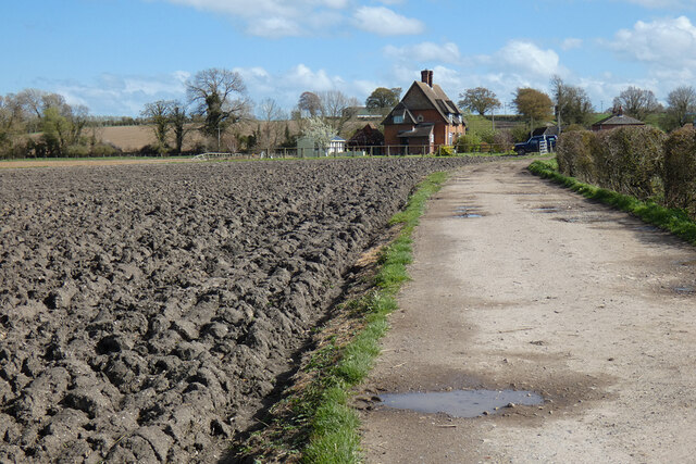
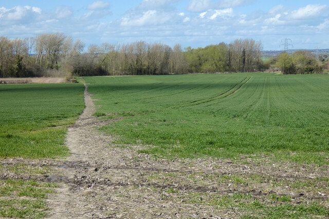
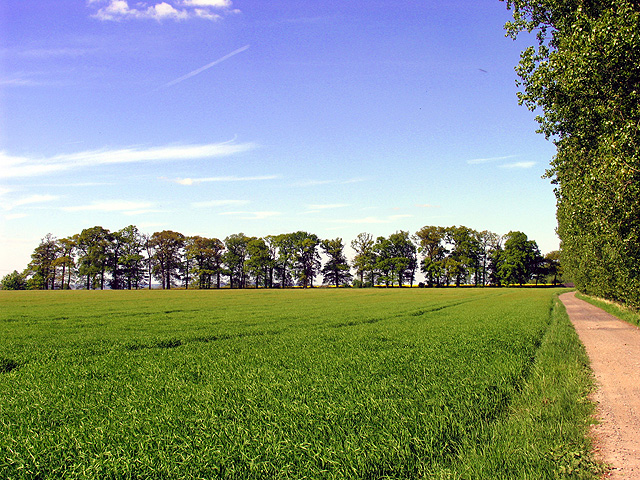
The Moat, located in Berkshire, is a picturesque freshwater marsh that serves as a vital ecosystem within the region. Spanning over an area of approximately 50 acres, it is characterized by its serene beauty and diverse aquatic life. The Moat is primarily fed by natural springs and rainfall, ensuring a constant supply of fresh water throughout the year.
The marsh is surrounded by lush vegetation, including reeds, cattails, and water lilies, which provide a habitat for a variety of plant and animal species. The Moat is home to numerous fish species, such as carp, roach, and perch, as well as amphibians like frogs and newts. These creatures thrive in the marsh's nutrient-rich waters, making it a popular spot for anglers and nature enthusiasts alike.
The Moat also serves as a crucial stopover point for migratory birds, attracting species such as ducks, geese, and herons. Birdwatchers flock to the marsh to observe these beautiful creatures in their natural habitat. Additionally, the tranquil environment of the Moat offers a peaceful retreat for visitors, who can enjoy leisurely walks along its banks or simply relax and soak in the serene atmosphere.
Conservation efforts have been implemented to protect and preserve the fragile ecosystem of the Moat. These initiatives include controlling invasive plant species and maintaining the water quality to ensure the continued thriving of the area's flora and fauna.
Overall, the Moat in Berkshire stands as a remarkable freshwater marsh, providing a haven for a diverse range of aquatic life and offering visitors a chance to connect with nature in a tranquil and beautiful setting.
If you have any feedback on the listing, please let us know in the comments section below.
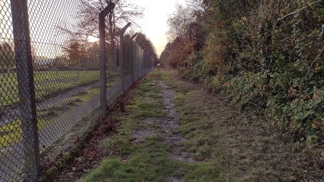
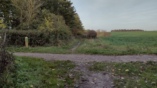
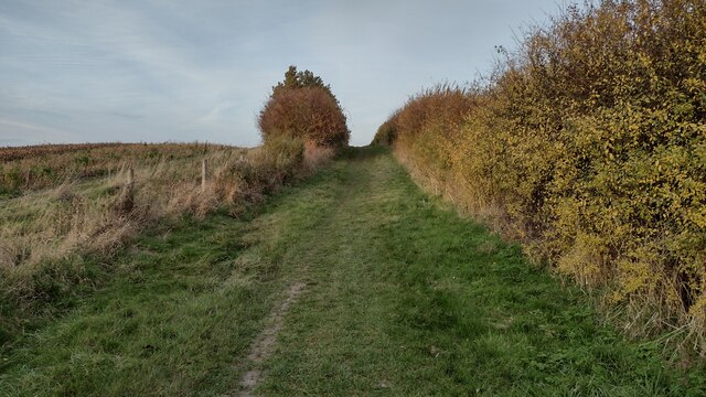
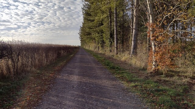
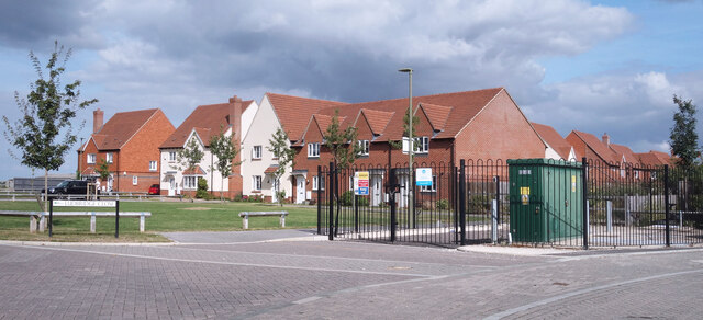
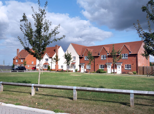
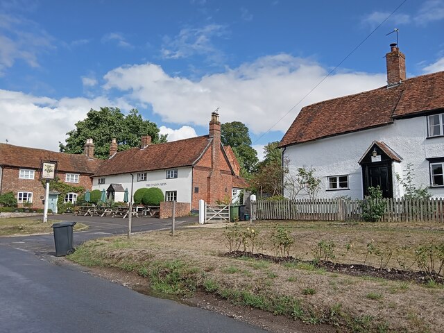
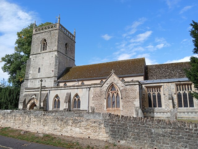
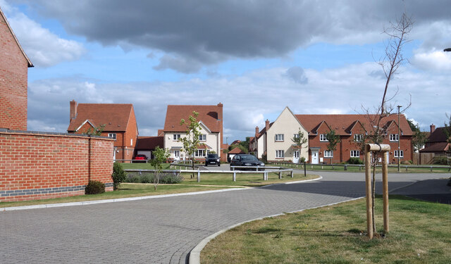
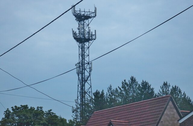
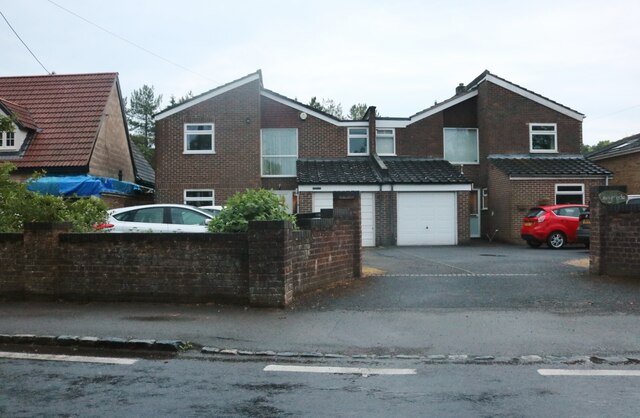
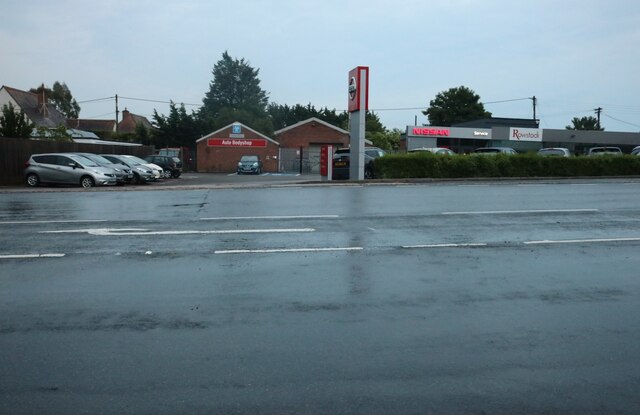
The Moat Images
Images are sourced within 2km of 51.593912/-1.3346005 or Grid Reference SU4688. Thanks to Geograph Open Source API. All images are credited.

The Moat is located at Grid Ref: SU4688 (Lat: 51.593912, Lng: -1.3346005)
Administrative County: Oxfordshire
District: Vale of White Horse
Police Authority: Thames Valley
What 3 Words
///bloodshot.headings.grew. Near Harwell, Oxfordshire
Nearby Locations
Related Wikis

Holy Trinity Monastery, East Hendred
Holy Trinity Monastery, East Hendred was briefly a convent of contemplative Benedictine nuns situated in the Vale of White Horse, Oxfordshire, from 2004...
East Hendred
East Hendred is a village and civil parish about 4 miles (6.4 km) east of Wantage in the Vale of White Horse and a similar distance west of Didcot. The...
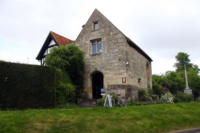
Champs Chapel Museum of East Hendred
The Champs Chapel Museum of East Hendred is a local village museum housed in the former Chapel of Jesus of Bethlehem, built in 1453 by Carthusian monks...
Mammalian Genetics Unit
The Mammalian Genetics Unit was a genetics and genomics research institute in Oxfordshire. == History == Earlier research on the same site at the Radiobiology...
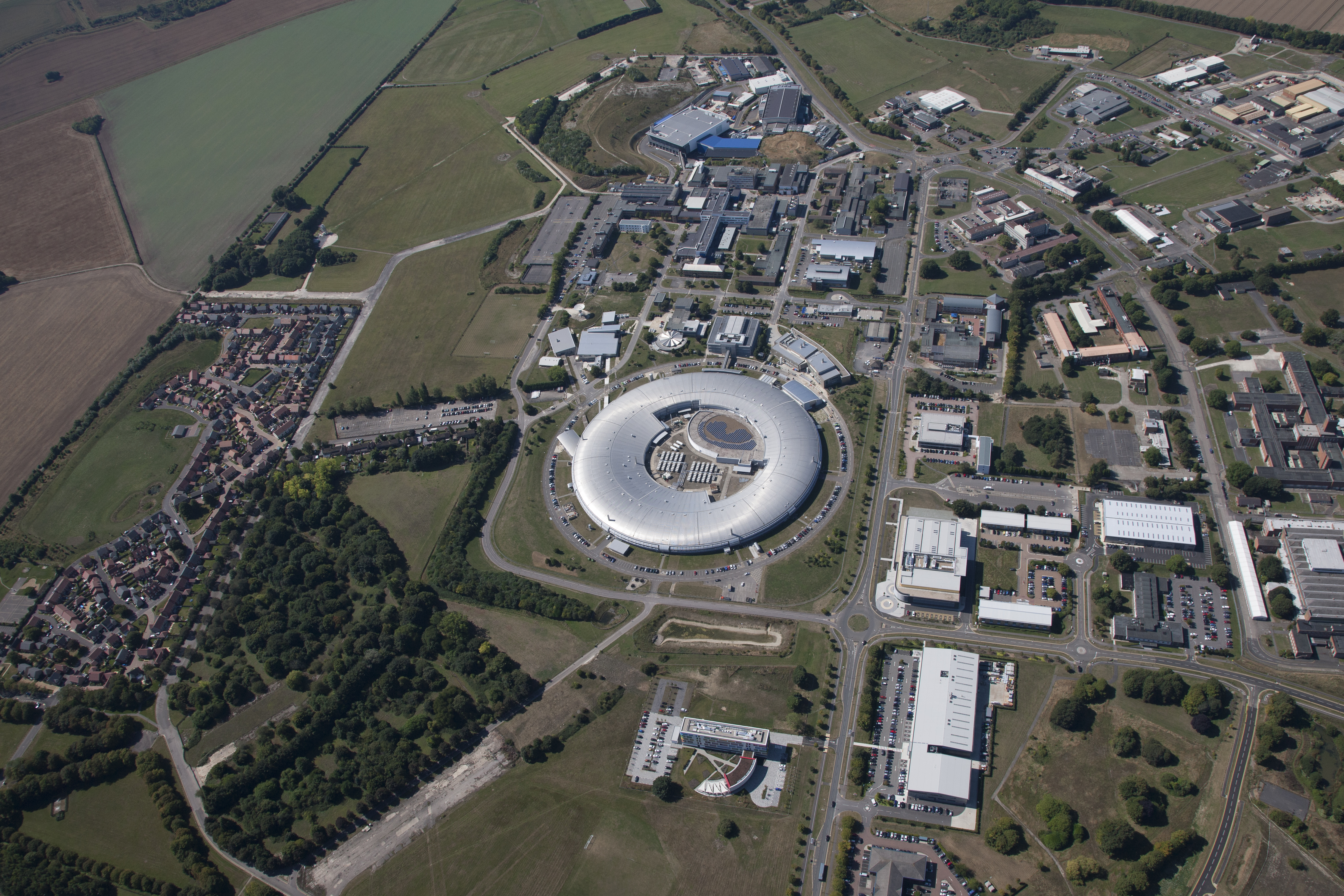
Harwell Science and Innovation Campus
The Harwell Science and Innovation Campus is a 700-acre science and technology campus in Oxfordshire, England. Over 6,000 people work there in over 240...
Harwell Synchrocyclotron
The Harwell Synchrocyclotron was a particle accelerator based at the Atomic Energy Research Establishment campus near Harwell, Oxfordshire. Construction...
ZETA (fusion reactor)
ZETA, short for Zero Energy Thermonuclear Assembly, was a major experiment in the early history of fusion power research. Based on the pinch plasma confinement...
The Faraday Institution
The Faraday Institution is a British research institute aiming to advance battery science and technology. It was established in 2017 as part of the UK...
Related Videos

Oxfordshire 4 mile circular walk: Harwell
Harwell: 4 mile circular walk Guided Walk: https://www.alltrails.com/explore/trail/england/oxfordshire/harwell-circular?u=i.

Oxfordshire 3.8 mile circular walk: Ardington & Icknield Way
Ardington & Icknield Way: 3.8 mile circular walk Guided Walk: ...

We are RAL Space
RAL Space is the UK's national laboratory advancing the understanding of space and our environment for the benefit of all.

VanLife Meet S14E43 Conversations with Campervan-K
They say collaborations are great for everyone's respective YouTube channels. Interacting with other than lifers who watch each ...
Nearby Amenities
Located within 500m of 51.593912,-1.3346005Have you been to The Moat?
Leave your review of The Moat below (or comments, questions and feedback).