East Hendred
Settlement in Berkshire Vale of White Horse
England
East Hendred
East Hendred is a quaint village located in the county of Berkshire, England. Situated approximately 4 miles east of Wantage, the village is nestled in the heart of the North Wessex Downs Area of Outstanding Natural Beauty, offering breathtaking views of the surrounding countryside.
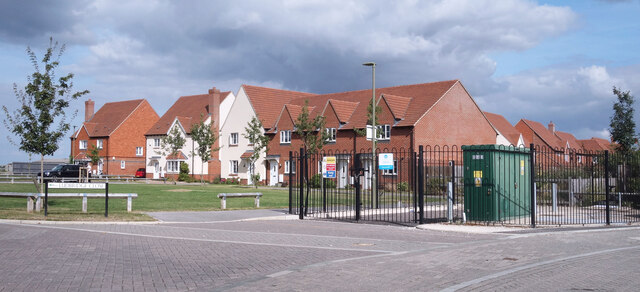
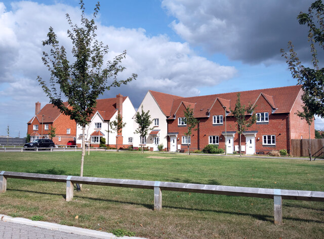
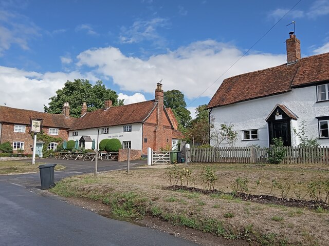
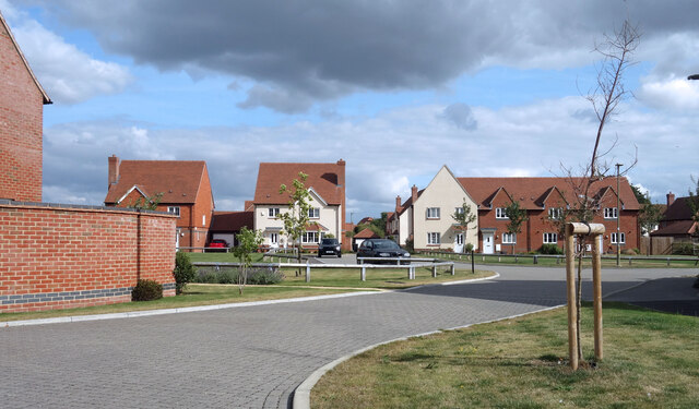
With a population of around 1,200 residents, East Hendred has managed to maintain its traditional charm while still providing modern amenities. The village consists of a mix of historic buildings and newer developments, creating an appealing blend of old and new.
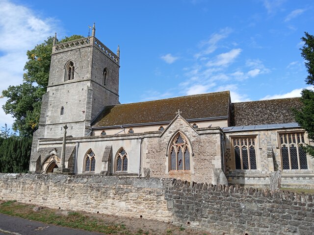
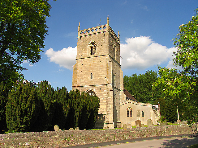
One of the village's highlights is St. Augustine's Church, a Grade I listed building that dates back to the 12th century. The church's stunning architecture and picturesque setting make it a popular attraction for visitors. Additionally, East Hendred is home to a primary school, a village hall, a local shop, and a pub, offering convenience for its inhabitants.
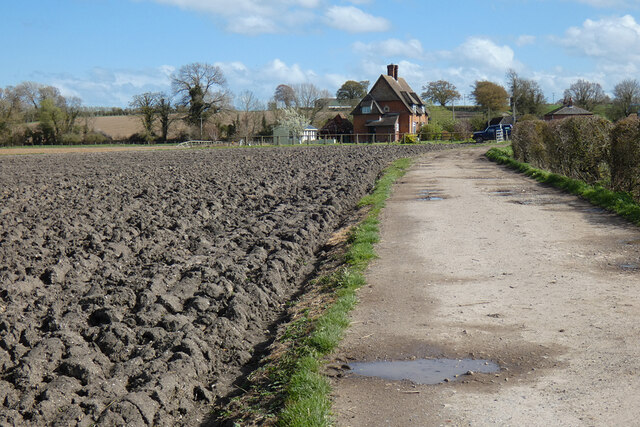
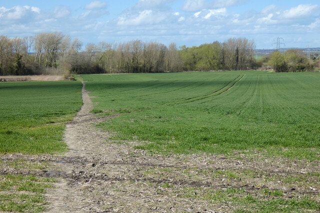
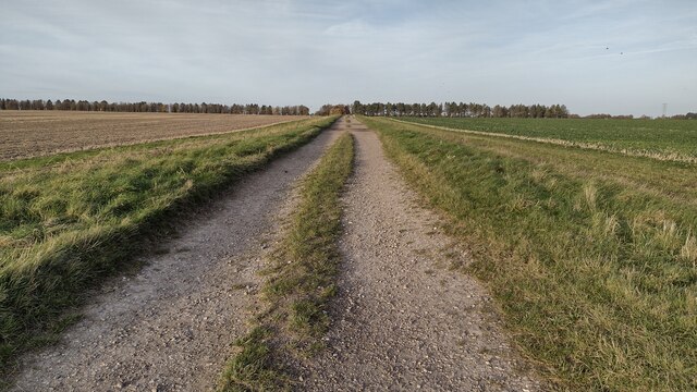
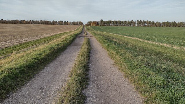
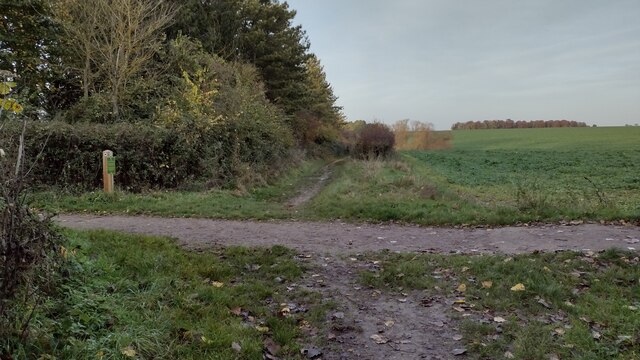
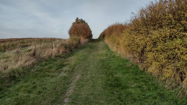
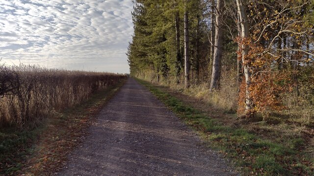
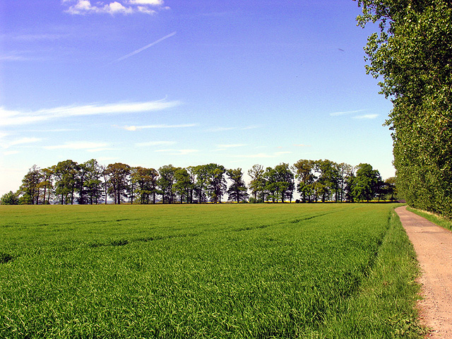
For outdoor enthusiasts, East Hendred boasts an extensive network of footpaths and bridleways, making it an ideal location for walking, cycling, and horse riding. The surrounding countryside provides ample opportunities for exploring the natural beauty of the area.
Despite its tranquil atmosphere, East Hendred benefits from excellent transport links. The village is conveniently located near the A34, providing easy access to Oxford and Newbury. Additionally, Didcot Parkway railway station is just a short drive away, offering direct train services to London and other major cities.
In summary, East Hendred is a charming village in the heart of Berkshire, offering a peaceful and picturesque environment for its residents. With its historic buildings, beautiful countryside, and convenient location, East Hendred captures the essence of rural living while still being well-connected to larger towns and cities.
If you have any feedback on the listing, please let us know in the comments section below.
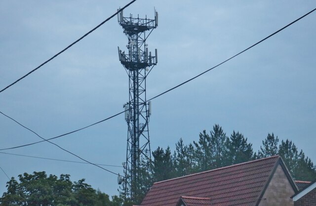
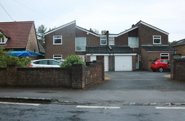
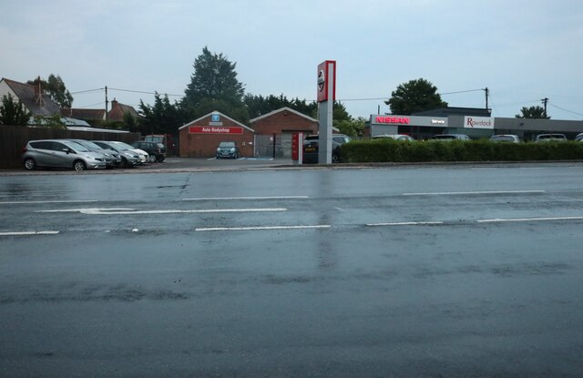
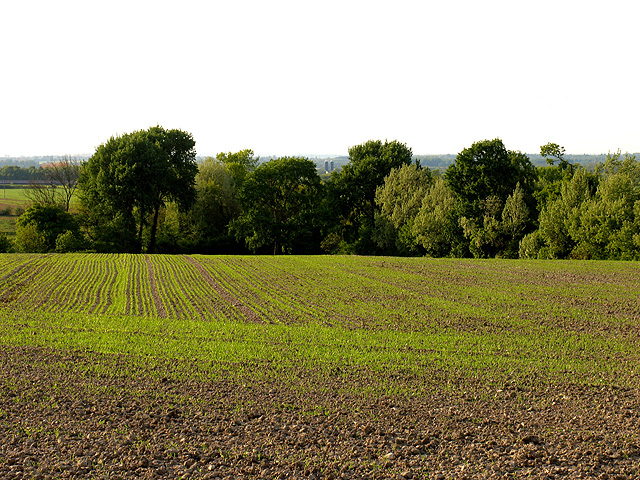
East Hendred Images
Images are sourced within 2km of 51.595413/-1.336862 or Grid Reference SU4688. Thanks to Geograph Open Source API. All images are credited.

East Hendred is located at Grid Ref: SU4688 (Lat: 51.595413, Lng: -1.336862)
Administrative County: Oxfordshire
District: Vale of White Horse
Police Authority: Thames Valley
What 3 Words
///gradually.reactions.reverted. Near Harwell, Oxfordshire
Nearby Locations
Related Wikis
East Hendred
East Hendred is a village and civil parish about 4 miles (6.4 km) east of Wantage in the Vale of White Horse and a similar distance west of Didcot. The...
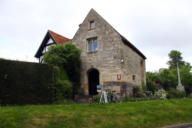
Champs Chapel Museum of East Hendred
The Champs Chapel Museum of East Hendred is a local village museum housed in the former Chapel of Jesus of Bethlehem, built in 1453 by Carthusian monks...

Holy Trinity Monastery, East Hendred
Holy Trinity Monastery, East Hendred was briefly a convent of contemplative Benedictine nuns situated in the Vale of White Horse, Oxfordshire, from 2004...
Mammalian Genetics Unit
The Mammalian Genetics Unit was a genetics and genomics research institute in Oxfordshire. == History == Earlier research on the same site at the Radiobiology...
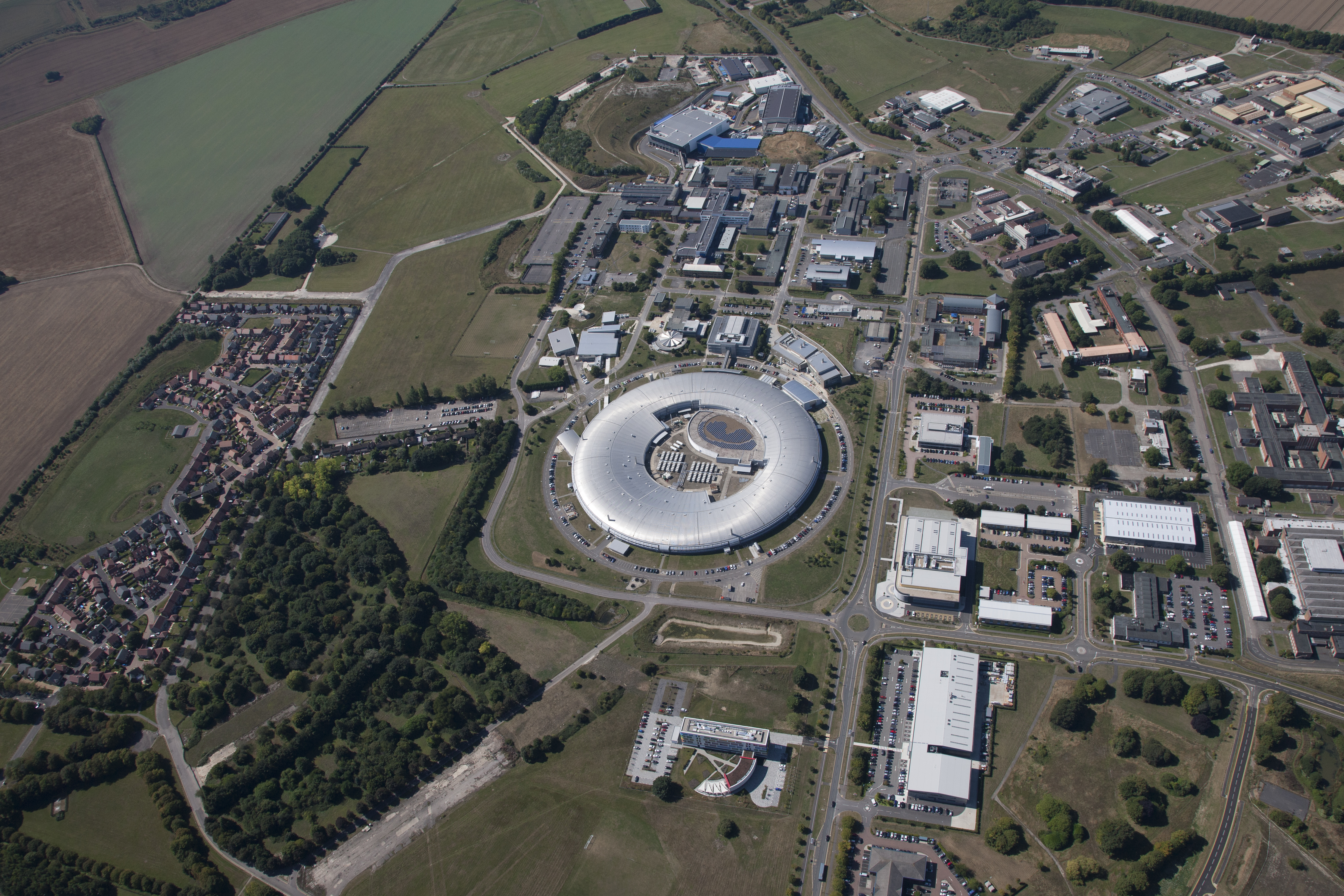
Harwell Science and Innovation Campus
The Harwell Science and Innovation Campus is a 700-acre science and technology campus in Oxfordshire, England. Over 6,000 people work there in over 240...

West Ginge
West Ginge is a hamlet within the civil parish of Ardington in the English county of Oxfordshire (formerly Berkshire), 3.9 miles (6.3 km) by road to the...
Harwell Synchrocyclotron
The Harwell Synchrocyclotron was a particle accelerator based at the Atomic Energy Research Establishment campus near Harwell, Oxfordshire. Construction...

ZETA (fusion reactor)
ZETA, short for Zero Energy Thermonuclear Assembly, was a major experiment in the early history of fusion power research. Based on the pinch plasma confinement...
Nearby Amenities
Located within 500m of 51.595413,-1.336862Have you been to East Hendred?
Leave your review of East Hendred below (or comments, questions and feedback).