Helmsdale, East
Settlement in Sutherland
Scotland
Helmsdale, East
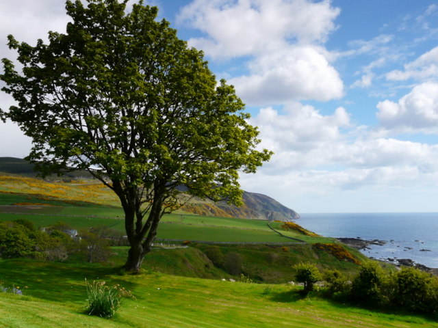
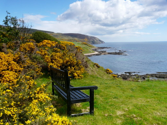
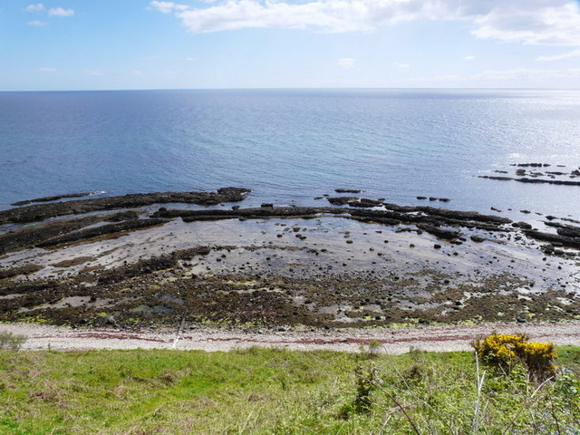
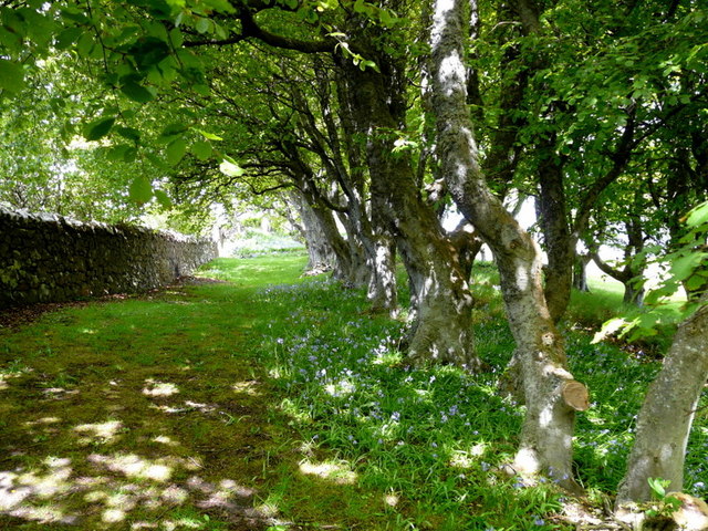
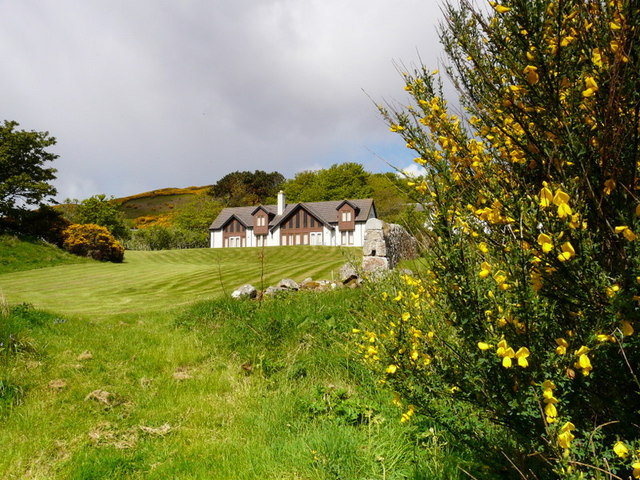
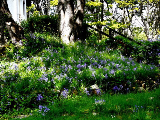
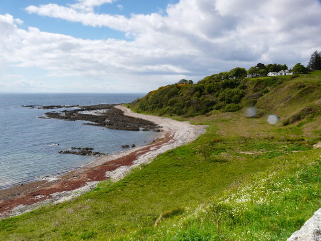
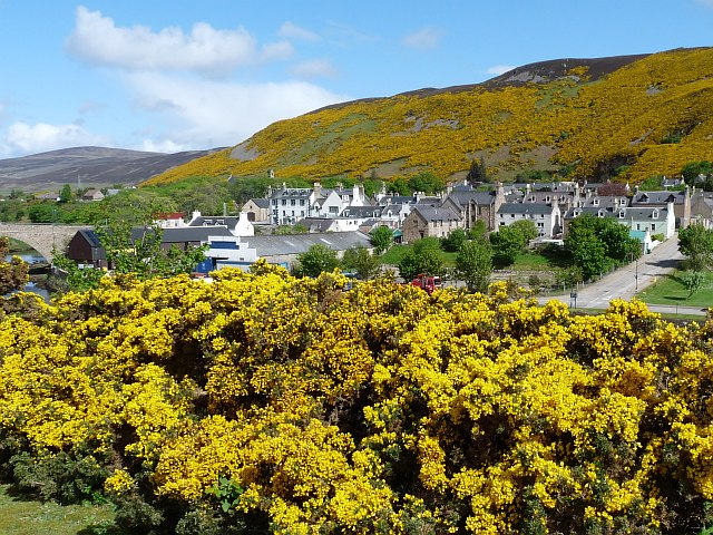
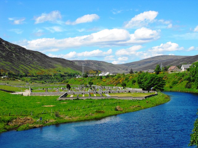
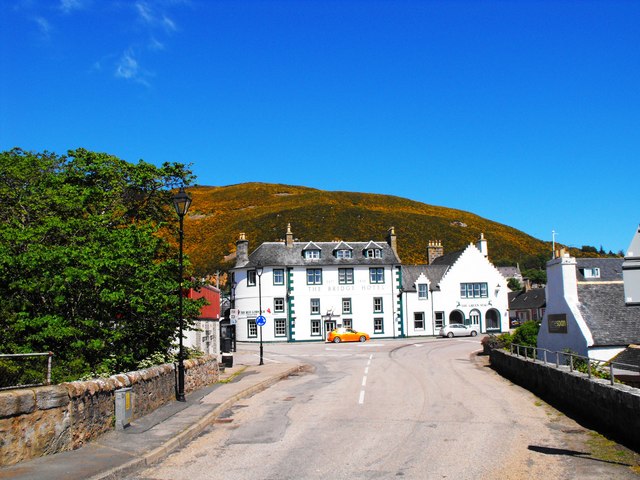
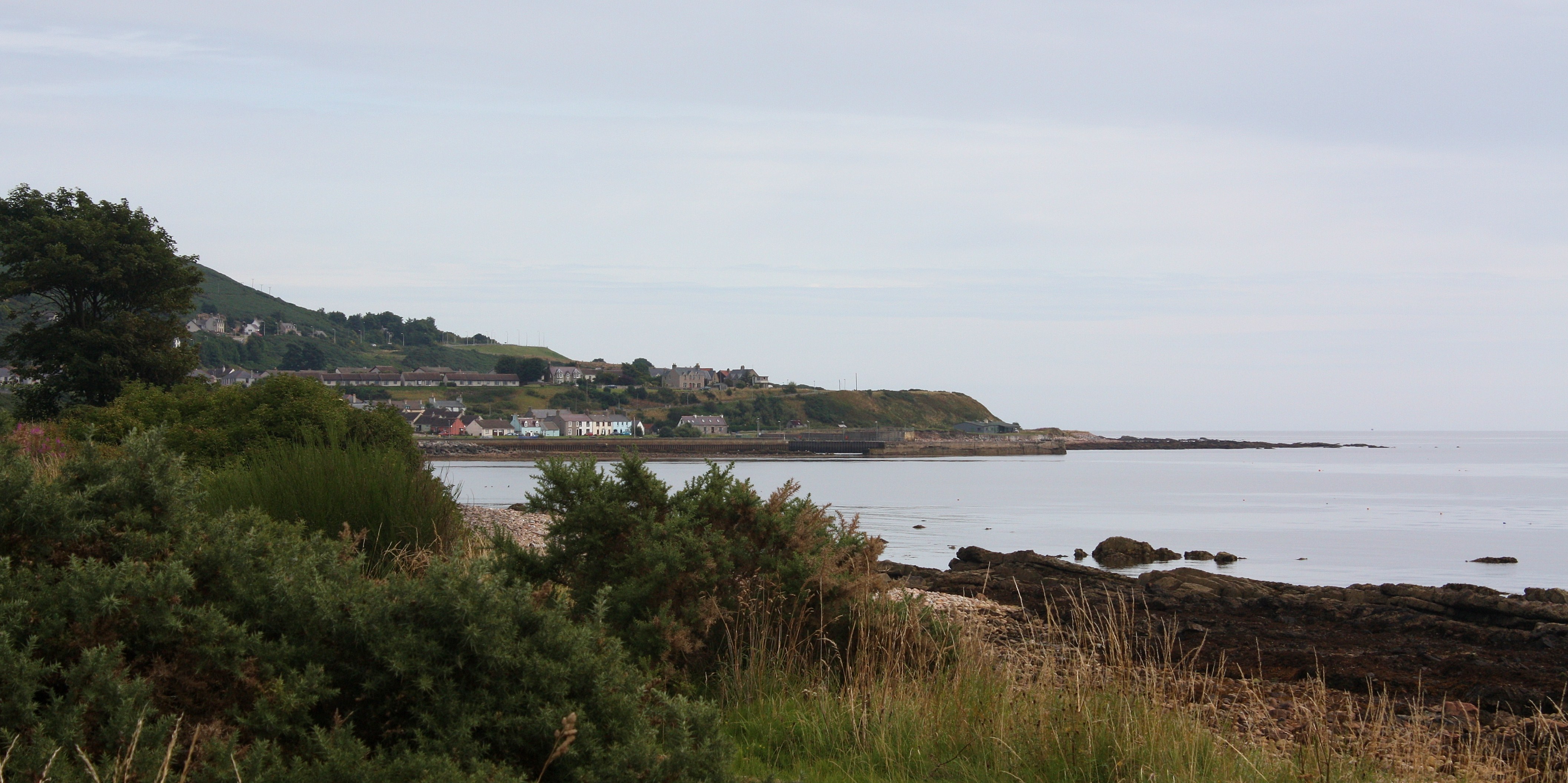
Helmsdale is a picturesque village located on the east coast of Sutherland, in the Highlands of Scotland. Situated at the mouth of the River Helmsdale, it is surrounded by stunning natural beauty and is known for its idyllic setting.
The village has a population of approximately 1,200 residents and is popular with both locals and tourists alike. It is easily accessible by road, with the A9 passing through Helmsdale, connecting it to Inverness to the south and Wick to the north.
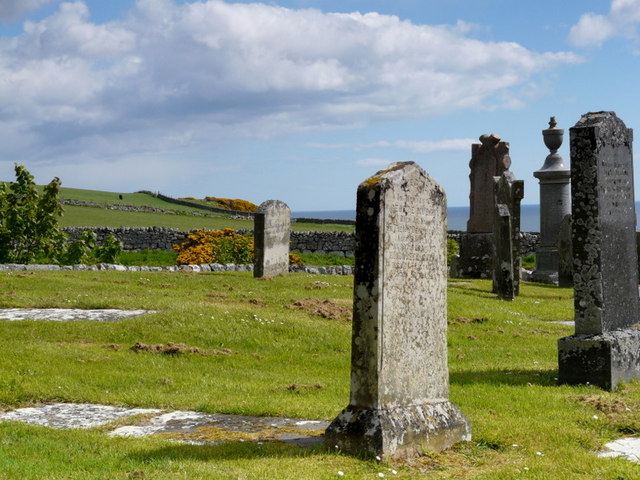
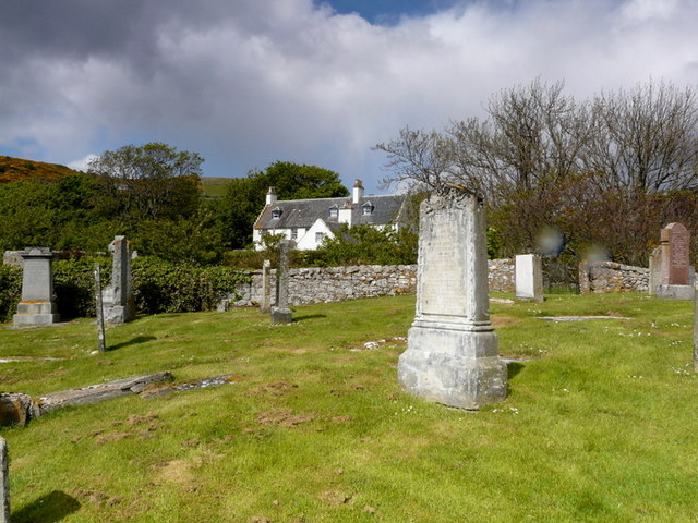
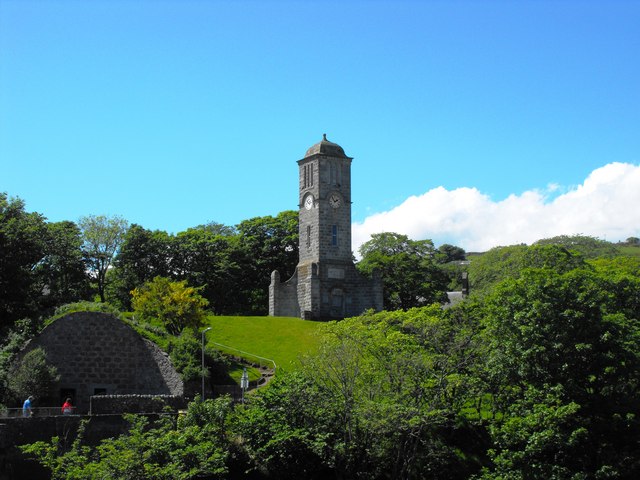
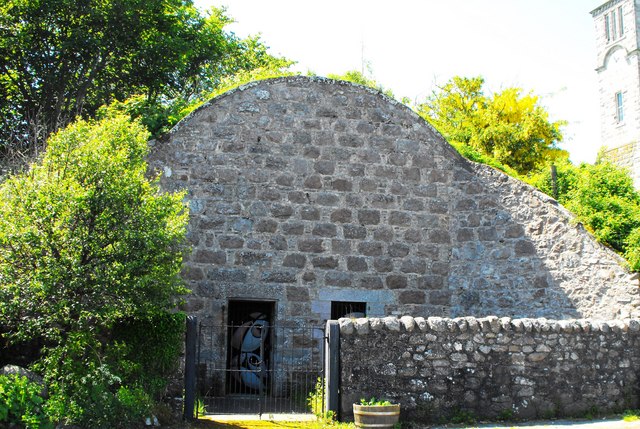
Helmsdale boasts a rich history, with evidence of human habitation dating back to prehistoric times. It was also an important fishing port during the 19th century, with a thriving herring industry. Today, remnants of its fishing heritage can still be seen in the harbor, which is often filled with small fishing boats.
One of the main attractions in Helmsdale is the Timespan Museum and Arts Centre. This museum provides visitors with an insight into the local history, culture, and heritage of the area. It also hosts various exhibitions and events throughout the year.
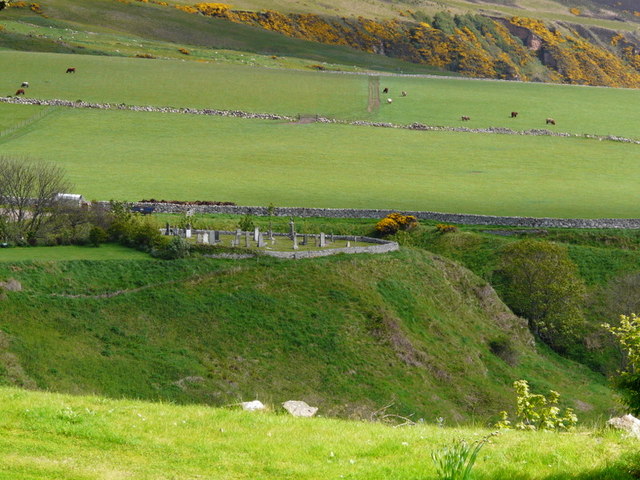
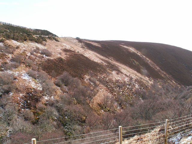
Nature enthusiasts will be delighted by the surrounding countryside, which offers breathtaking landscapes, including the nearby Knockan Crag Nature Reserve. This reserve is known for its geological importance and provides opportunities for hiking and wildlife spotting.
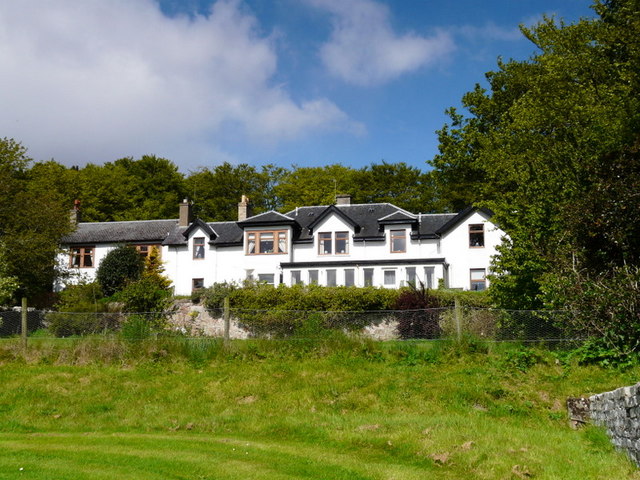
In addition to its natural beauty, Helmsdale offers a range of amenities for visitors, including accommodation options, cafes, pubs, and shops. The village also hosts an annual Highland Games, which attracts participants and spectators from near and far.
Overall, Helmsdale is a charming village that offers a perfect blend of history, natural beauty, and warm Scottish hospitality.
If you have any feedback on the listing, please let us know in the comments section below.
Helmsdale, East Images
Images are sourced within 2km of 58.11715/-3.653929 or Grid Reference ND0215. Thanks to Geograph Open Source API. All images are credited.
Helmsdale, East is located at Grid Ref: ND0215 (Lat: 58.11715, Lng: -3.653929)
Unitary Authority: Highland
Police Authority: Highlands and Islands
What 3 Words
///obviously.shuttered.riots. Near Brora, Highland
Nearby Locations
Related Wikis

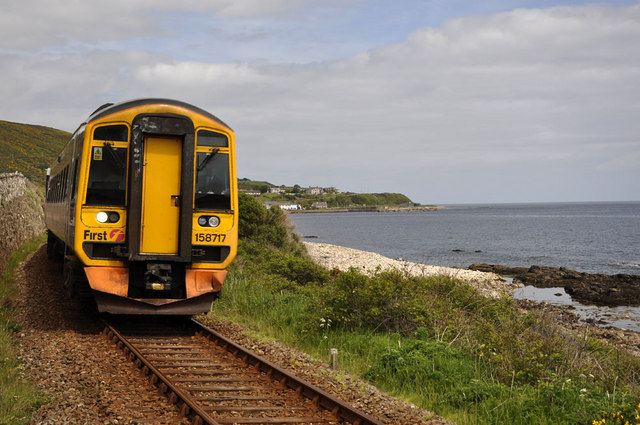
Helmsdale railway station
Helmsdale railway station is a railway station serving the village of Helmsdale in the Highland council area, northern Scotland. It is located on the Far...
Helmsdale
Helmsdale (Scots: Helmsdal, Scottish Gaelic: Bun Ilidh) is a village on the east coast of Sutherland, in the Highland council area of Scotland. The modern...

River Helmsdale
The River Helmsdale (sometimes known as the River Ullie) (Scottish Gaelic: Ilidh / Abhainn Ilidh) is one of the major east-flowing rivers of Sutherland...

West Helmsdale
West Helmsdale is a small settlement lying on the right bank of the River Helmsdale, on the east coast of Sutherland, Scottish Highlands and is in the...
Gartymore
Gartymore (Scottish Gaelic: Gartaidh Mòr) is an area, lying on the east coast of Sutherland and located less than 0.5 miles south west of Helmsdale, close...
West Helmsdale railway station
West Helmsdale railway station served the settlement of West Helmsdale, in the historical county of Sutherland, from 1870 to 1871 on the Duke of Sutherland...
Portgower
Portgower is a former fishing village on the east coast of Scotland in Helmsdale, Sutherland, Scottish Highlands and is in the Scottish council area of...
Ord of Caithness
The Ord of Caithness is a granite mass on the east coast of the Highland council area of Scotland, on the boundary of the counties Sutherland and Caithness...
Related Videos

Hiking John O’ Groats to Land’s End | Daily Vlog | Day 6
Me and Di (my girlfriend) are hiking from John O' Groats to Land's End and wild camping all the way. This is a daily vlog of our ...


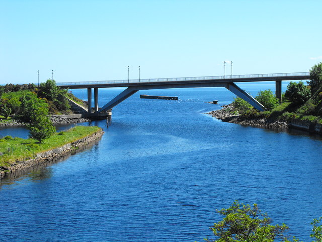
A9 Helmsdale Bridge
Helmsdale Bridge, carrying A9 across the river into the village itself, also both called Helmsdale . Opened in 1972, it replaces the ...

Nearby Amenities
Located within 500m of 58.11715,-3.653929Have you been to Helmsdale, East?
Leave your review of Helmsdale, East below (or comments, questions and feedback).