Helmsdale
Settlement in Sutherland
Scotland
Helmsdale
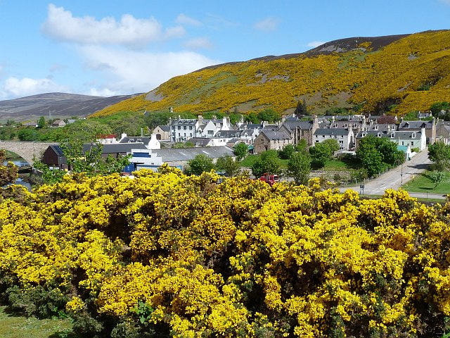
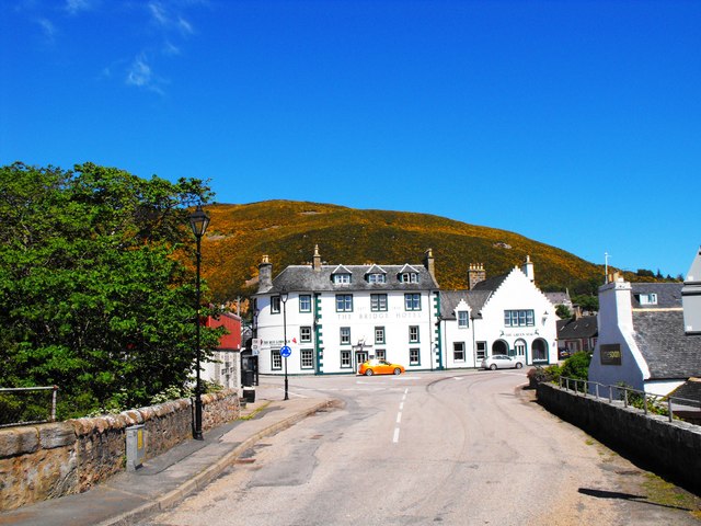
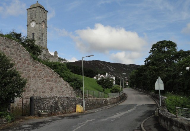
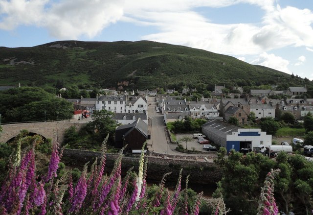
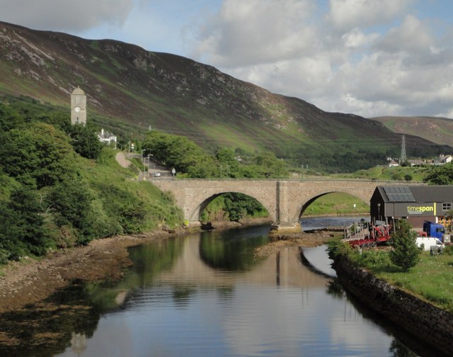
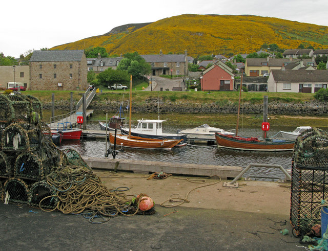
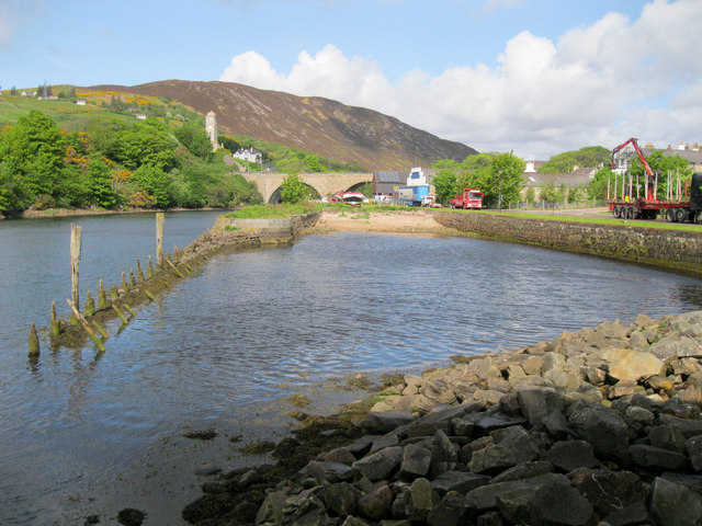
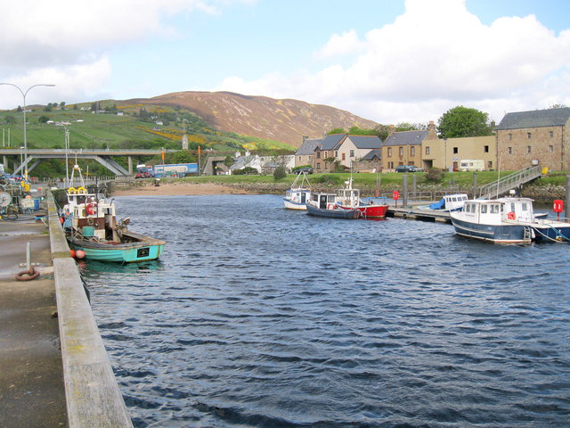
Helmsdale is a small village located on the east coast of Sutherland, in the Highland region of Scotland. Situated at the mouth of the River Helmsdale, it has a population of around 700 residents.
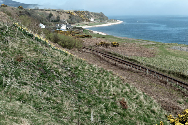
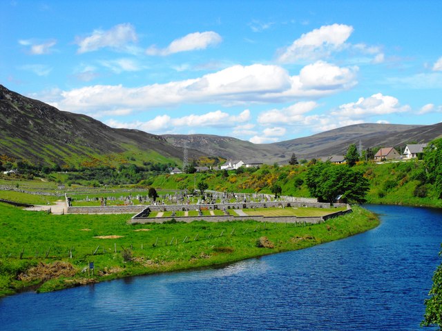
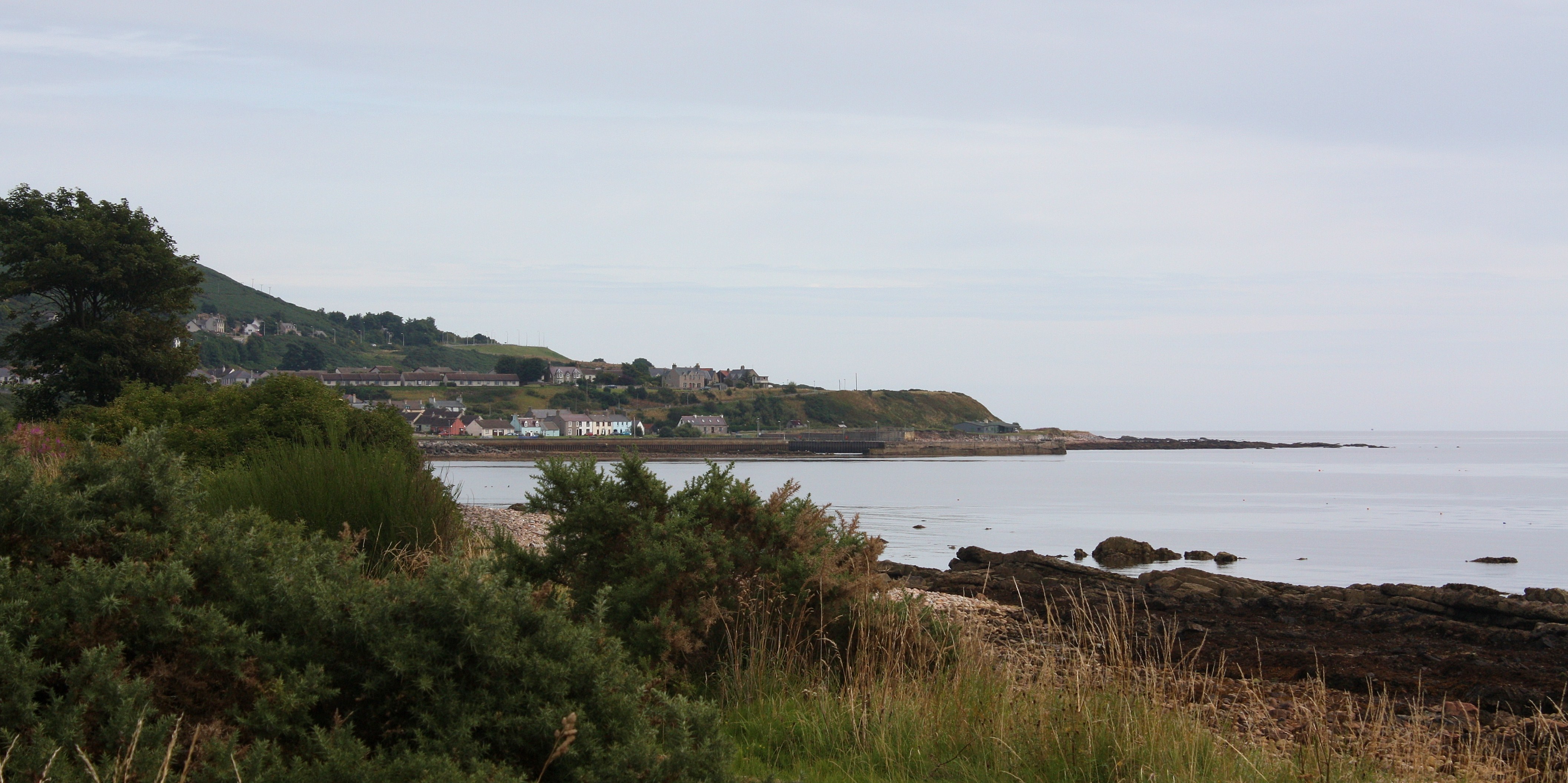
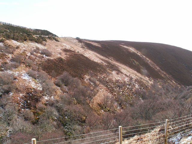
The village is known for its picturesque setting, nestled between the North Sea and the surrounding hills. The rugged landscape provides a stunning backdrop for outdoor enthusiasts, offering opportunities for hiking, fishing, and birdwatching. The River Helmsdale is particularly renowned for its salmon fishing, attracting anglers from around the world.
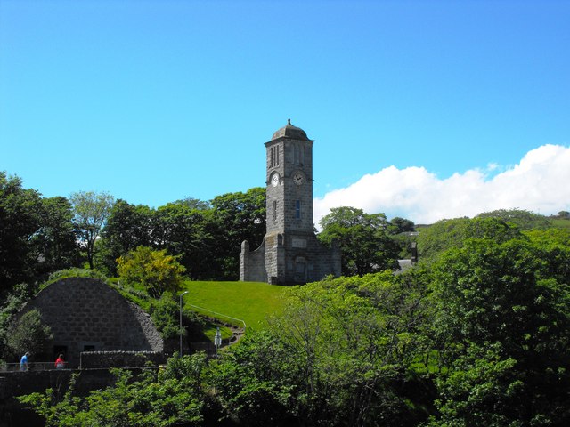
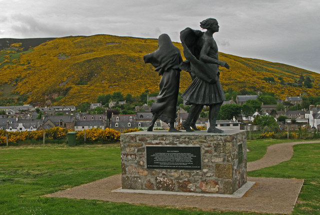
Helmsdale has a rich history, with evidence of human settlements dating back thousands of years. The village was originally a Norse settlement, and its name is derived from the Old Norse word "Hjalmundsdalr," meaning "dale of Hjalmund." The ruins of Helmsdale Castle, which was built in the 16th century, can still be seen today.
In terms of amenities, Helmsdale has a range of services for residents and visitors. There are several shops, a post office, a primary school, and a medical center. The village also boasts a museum, the Timespan Museum and Arts Centre, which provides insights into the local heritage and cultural traditions.
Tourism plays a significant role in the economy of Helmsdale, with many visitors attracted to the village's natural beauty and historical attractions. It offers a variety of accommodations, including hotels, bed and breakfasts, and self-catering cottages. The village's proximity to the North Coast 500, a popular scenic driving route, further boosts its tourism appeal.
Overall, Helmsdale is a charming village that combines natural beauty, historical significance, and a warm community spirit. It offers a tranquil escape for those seeking a peaceful retreat in the stunning Scottish Highlands.
If you have any feedback on the listing, please let us know in the comments section below.
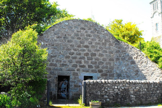
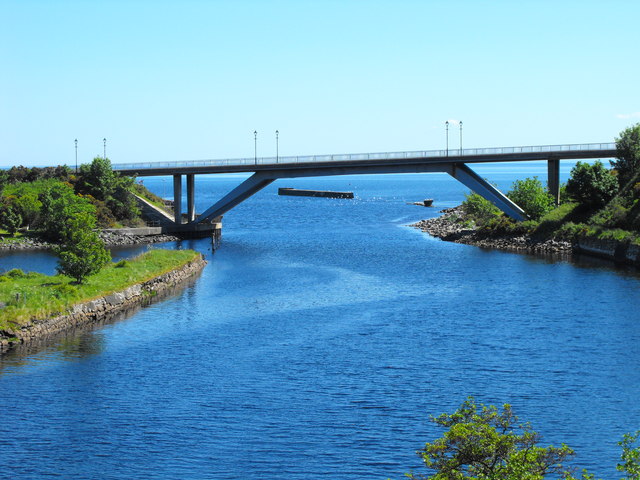
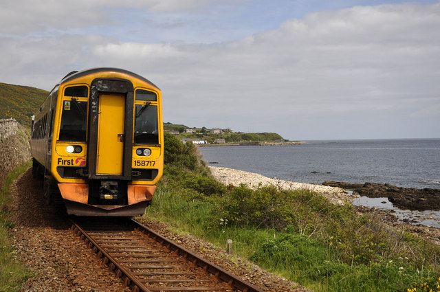
Helmsdale Images
Images are sourced within 2km of 58.113089/-3.6649356 or Grid Reference ND0215. Thanks to Geograph Open Source API. All images are credited.
Helmsdale is located at Grid Ref: ND0215 (Lat: 58.113089, Lng: -3.6649356)
Unitary Authority: Highland
Police Authority: Highlands and Islands
What 3 Words
///yield.contrived.bags. Near Brora, Highland
Nearby Locations
Related Wikis

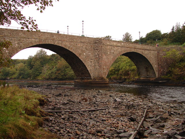
River Helmsdale
The River Helmsdale (sometimes known as the River Ullie) (Scottish Gaelic: Ilidh / Abhainn Ilidh) is one of the major east-flowing rivers of Sutherland...

Helmsdale railway station
Helmsdale railway station is a railway station serving the village of Helmsdale in the Highland council area, northern Scotland. It is located on the Far...

Gartymore
Gartymore (Scottish Gaelic: Gartaidh Mòr) is an area, lying on the east coast of Sutherland and located less than 0.5 miles south west of Helmsdale, close...
West Helmsdale
West Helmsdale is a small settlement lying on the right bank of the River Helmsdale, on the east coast of Sutherland, Scottish Highlands and is in the...
West Helmsdale railway station
West Helmsdale railway station served the settlement of West Helmsdale, in the historical county of Sutherland, from 1870 to 1871 on the Duke of Sutherland...
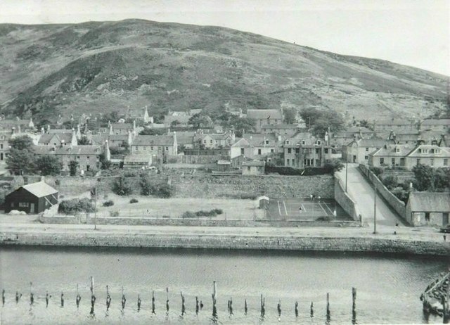
Helmsdale
Helmsdale (Scots: Helmsdal, Scottish Gaelic: Bun Ilidh) is a village on the east coast of Sutherland, in the Highland council area of Scotland. The modern...
Portgower
Portgower is a former fishing village on the east coast of Scotland in Helmsdale, Sutherland, Scottish Highlands and is in the Scottish council area of...
Ord of Caithness
The Ord of Caithness is a granite mass on the east coast of the Highland council area of Scotland, on the boundary of the counties Sutherland and Caithness...
Nearby Amenities
Located within 500m of 58.113089,-3.6649356Have you been to Helmsdale?
Leave your review of Helmsdale below (or comments, questions and feedback).