Lydebank Plantation
Wood, Forest in Berkshire Vale of White Horse
England
Lydebank Plantation
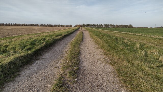
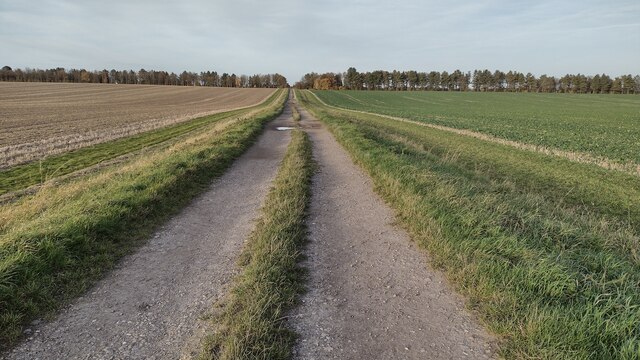
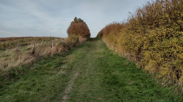
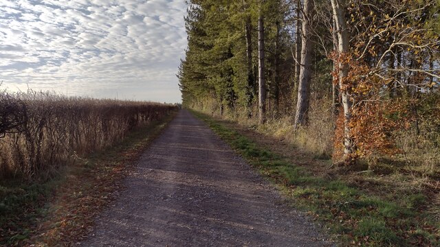
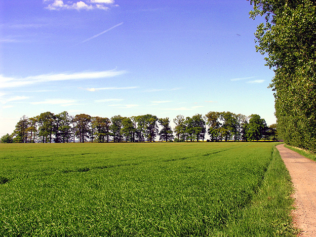
Lydebank Plantation is a charming woodland located in the county of Berkshire, England. Situated in the heart of the county, the plantation covers an area of approximately 200 acres, making it a significant and valuable natural resource in the region. The plantation is primarily composed of a mixture of deciduous and coniferous trees, creating a diverse and picturesque landscape.
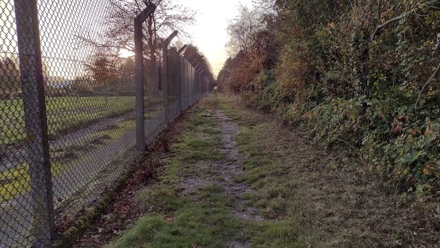
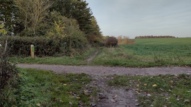
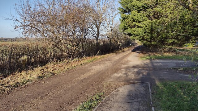
The woodland is well-preserved and managed, with clear paths and trails that allow visitors to explore its beauty. The plantation is home to a variety of wildlife, including deer, foxes, and numerous species of birds, making it a haven for nature enthusiasts and birdwatchers. The tranquil and serene environment invites visitors to immerse themselves in the peacefulness of nature.
Lydebank Plantation offers recreational activities for visitors of all ages. The well-maintained trails are suitable for hiking, jogging, and cycling, providing an opportunity for outdoor exercise and adventure. The plantation also features picnic areas, where families and friends can enjoy a leisurely lunch amidst the peaceful surroundings.
In addition to its recreational offerings, Lydebank Plantation plays a vital role in the ecological balance of the area. The trees contribute to carbon sequestration and provide a habitat for various species, helping to maintain biodiversity in the region. The plantation is also part of ongoing conservation efforts to protect and preserve the natural environment of Berkshire.
Overall, Lydebank Plantation is a hidden gem in Berkshire, offering a tranquil escape from the hustle and bustle of everyday life. With its diverse wildlife, well-maintained trails, and ecological importance, this woodland is a must-visit destination for nature lovers and outdoor enthusiasts alike.
If you have any feedback on the listing, please let us know in the comments section below.
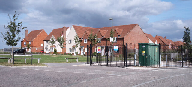
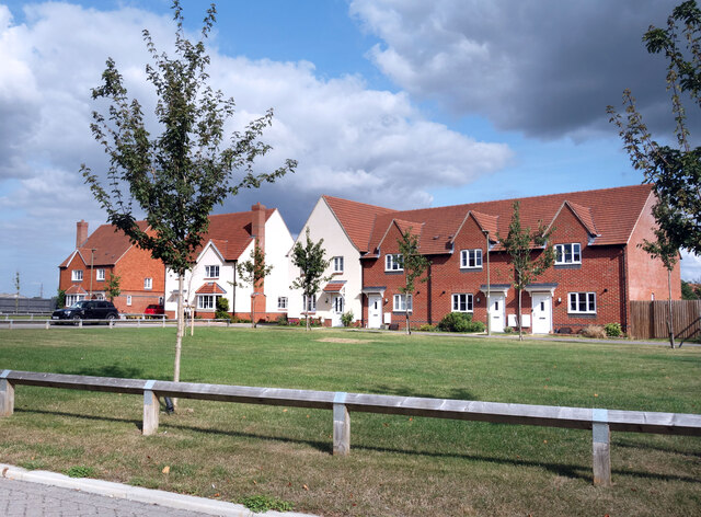
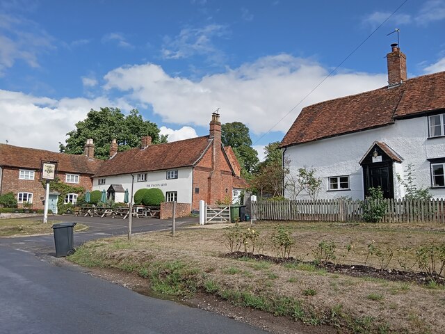
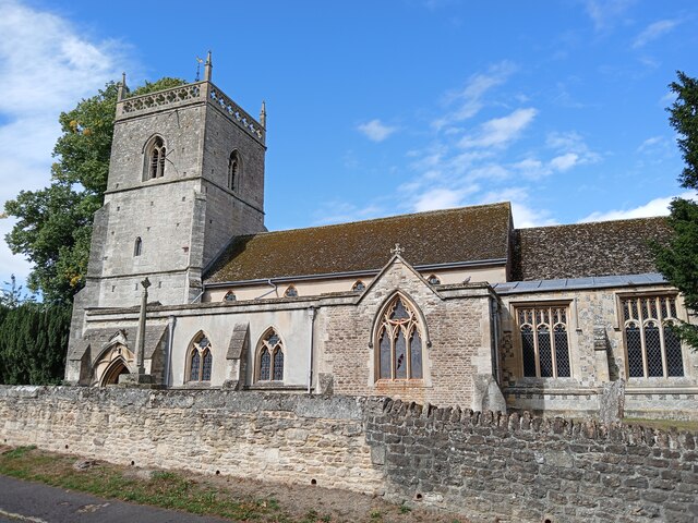
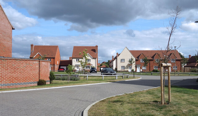
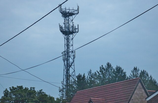
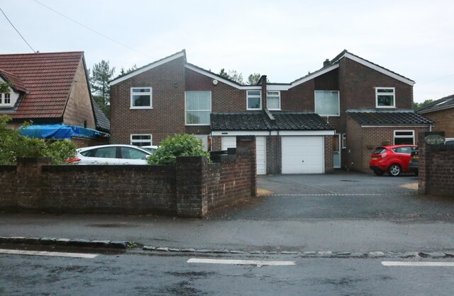
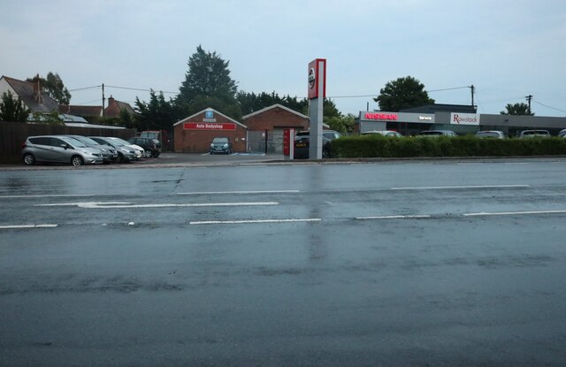
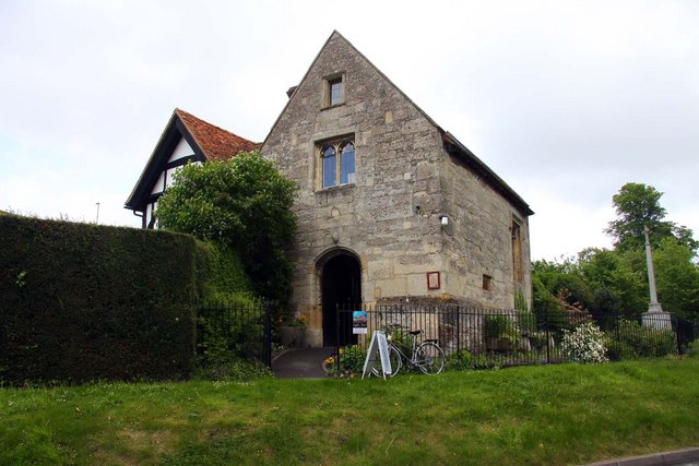
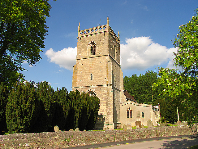
Lydebank Plantation Images
Images are sourced within 2km of 51.594113/-1.3272785 or Grid Reference SU4688. Thanks to Geograph Open Source API. All images are credited.

Lydebank Plantation is located at Grid Ref: SU4688 (Lat: 51.594113, Lng: -1.3272785)
Administrative County: Oxfordshire
District: Vale of White Horse
Police Authority: Thames Valley
What 3 Words
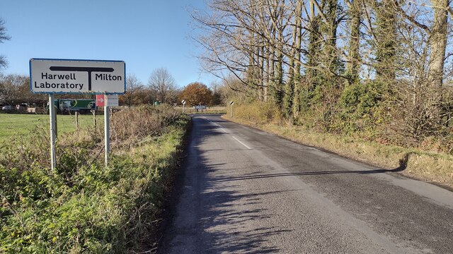
///treetop.outcasts.briskly. Near Harwell, Oxfordshire
Nearby Locations
Related Wikis

Holy Trinity Monastery, East Hendred
Holy Trinity Monastery, East Hendred was briefly a convent of contemplative Benedictine nuns situated in the Vale of White Horse, Oxfordshire, from 2004...
Champs Chapel Museum of East Hendred
The Champs Chapel Museum of East Hendred is a local village museum housed in the former Chapel of Jesus of Bethlehem, built in 1453 by Carthusian monks...
East Hendred
East Hendred is a village and civil parish about 4 miles (6.4 km) east of Wantage in the Vale of White Horse and a similar distance west of Didcot. The...
Mammalian Genetics Unit
The Mammalian Genetics Unit was a genetics and genomics research institute in Oxfordshire. == History == Earlier research on the same site at the Radiobiology...
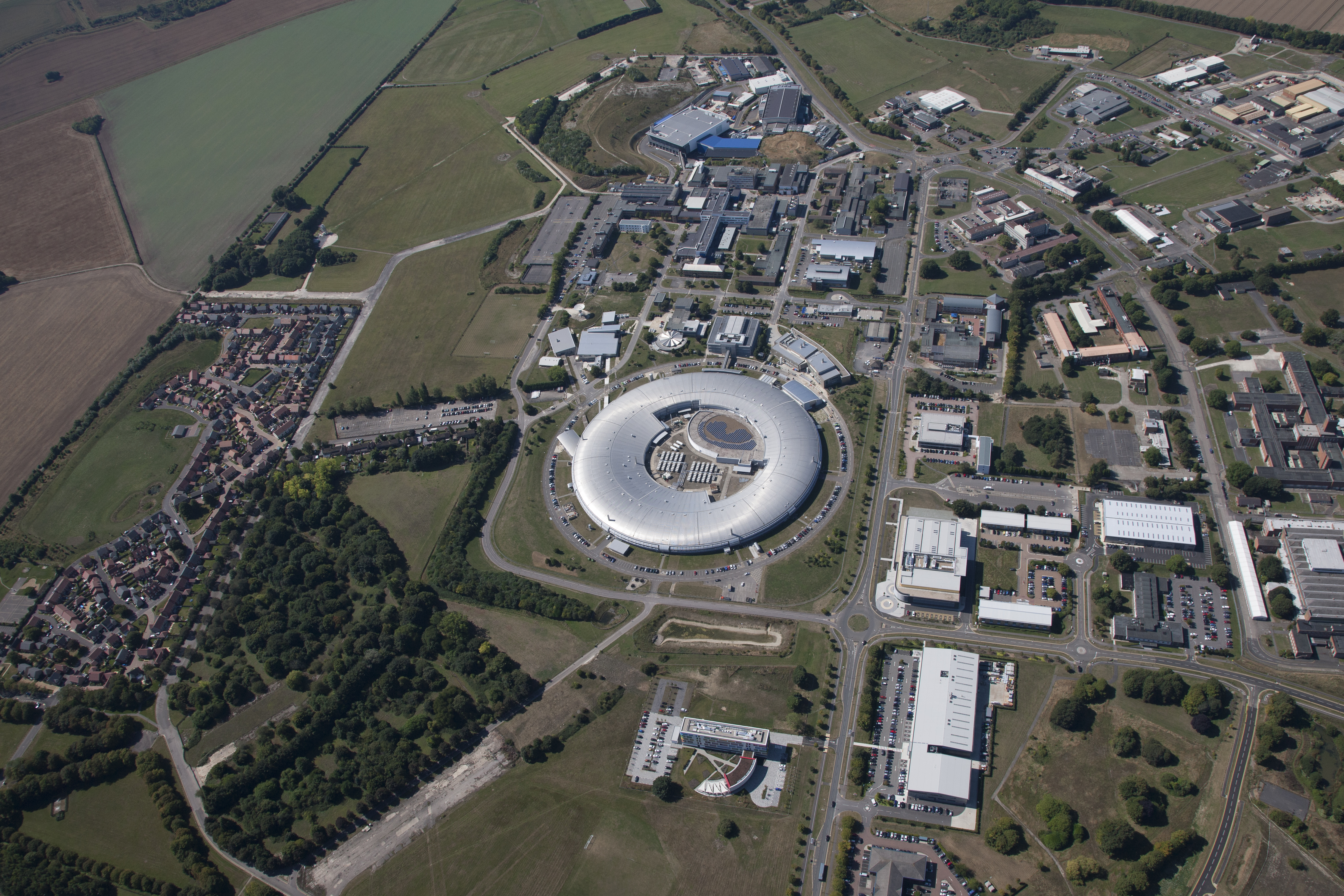
Harwell Science and Innovation Campus
The Harwell Science and Innovation Campus is a 700-acre science and technology campus in Oxfordshire, England. Over 6,000 people work there in over 240...
Harwell Synchrocyclotron
The Harwell Synchrocyclotron was a particle accelerator based at the Atomic Energy Research Establishment campus near Harwell, Oxfordshire. Construction...
ZETA (fusion reactor)
ZETA, short for Zero Energy Thermonuclear Assembly, was a major experiment in the early history of fusion power research. Based on the pinch plasma confinement...

Atomic Energy Research Establishment
The Atomic Energy Research Establishment (AERE) was the main centre for atomic energy research and development in the United Kingdom from 1946 to the...
Nearby Amenities
Located within 500m of 51.594113,-1.3272785Have you been to Lydebank Plantation?
Leave your review of Lydebank Plantation below (or comments, questions and feedback).