Little Hailey Copse
Wood, Forest in Berkshire
England
Little Hailey Copse
Little Hailey Copse is a charming woodland located in Berkshire, England. Situated near the village of Hailey, it covers an area of approximately 20 acres. The copse is a mix of broadleaf trees, predominantly consisting of oak, beech, and ash, creating a diverse and vibrant ecosystem.
The woodland is known for its tranquil atmosphere and picturesque beauty, making it a popular destination for nature lovers and hikers. The dense canopy of trees provides welcome shade during the summer months and a burst of color during autumn. The forest floor is carpeted with a variety of wildflowers and ferns, adding to its enchanting appeal.
Little Hailey Copse is also home to a rich array of wildlife. Visitors may spot deer, foxes, and rabbits roaming freely among the trees, while birdwatchers can enjoy the sight of various species, including woodpeckers, owls, and thrushes. The copse has been designated as a Site of Special Scientific Interest (SSSI) due to its biological importance.
The woodland offers several walking trails, allowing visitors to explore its beauty at their own pace. These paths lead to hidden clearings, babbling streams, and ancient ruins, adding an element of mystery and intrigue to the experience. There are also designated picnic areas where visitors can relax and enjoy the peaceful surroundings.
Little Hailey Copse is a truly idyllic woodland that showcases the beauty of nature in Berkshire. Whether you are seeking a peaceful retreat or an opportunity to immerse yourself in the natural world, this woodland is sure to captivate and inspire.
If you have any feedback on the listing, please let us know in the comments section below.
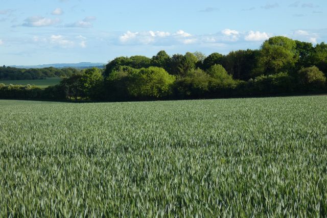
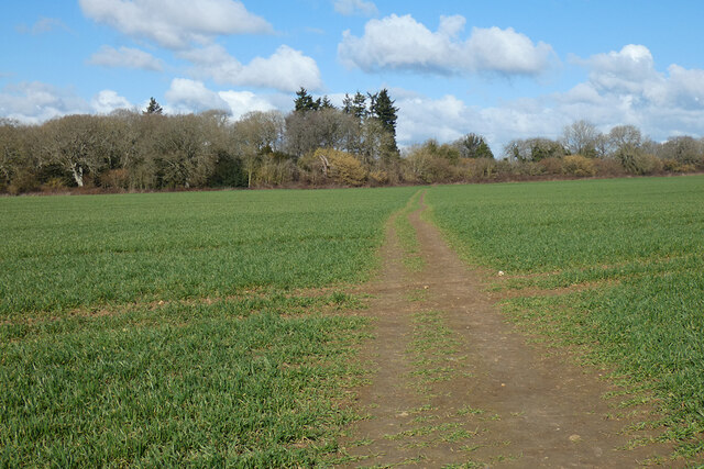
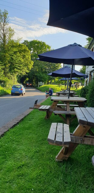
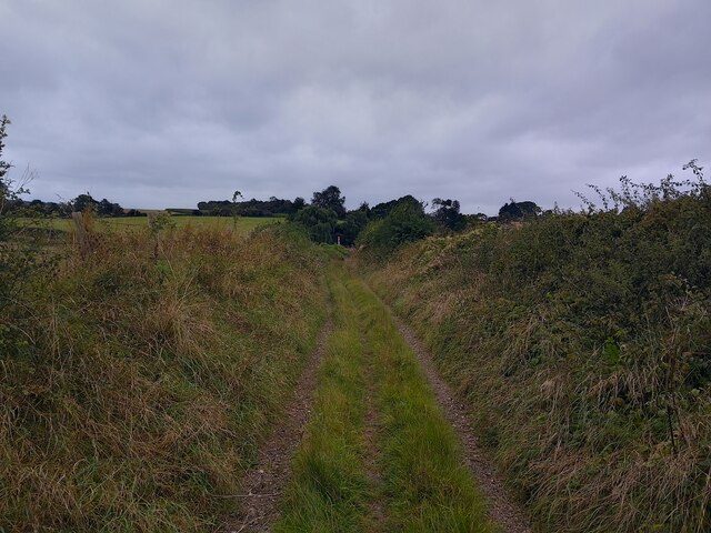
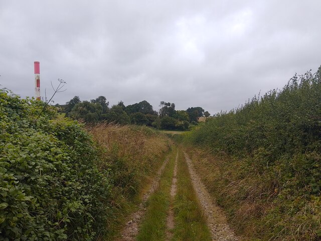
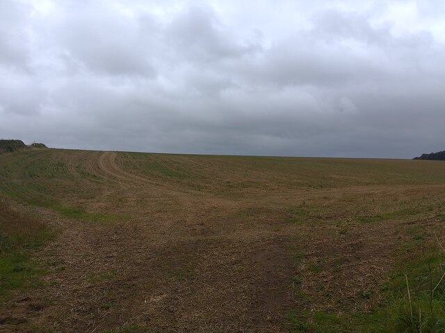
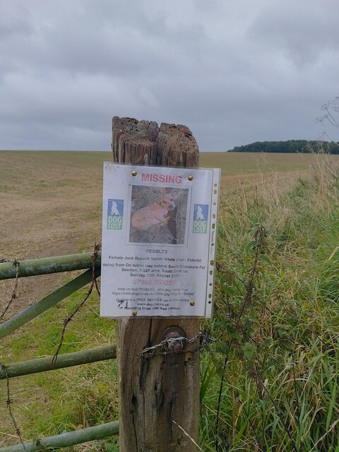
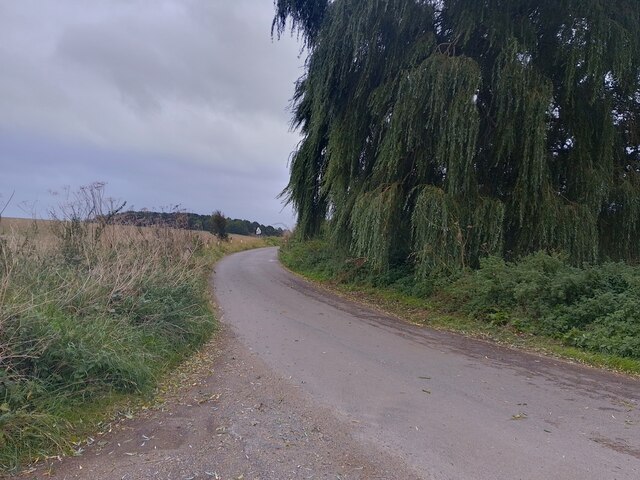
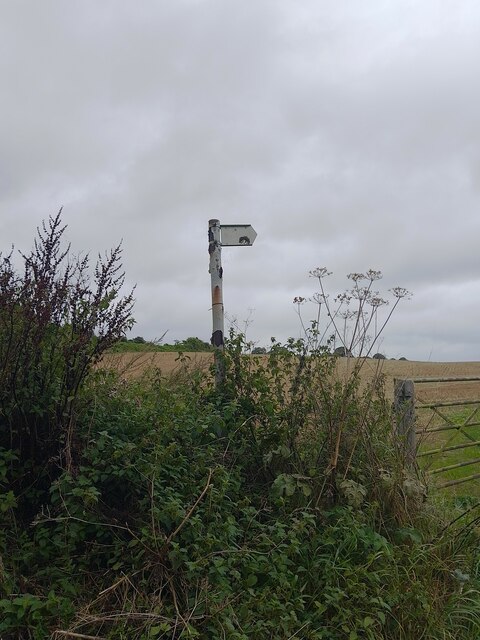
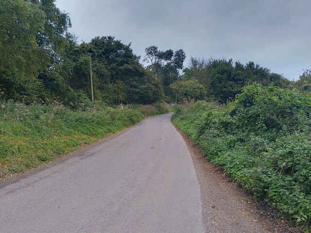
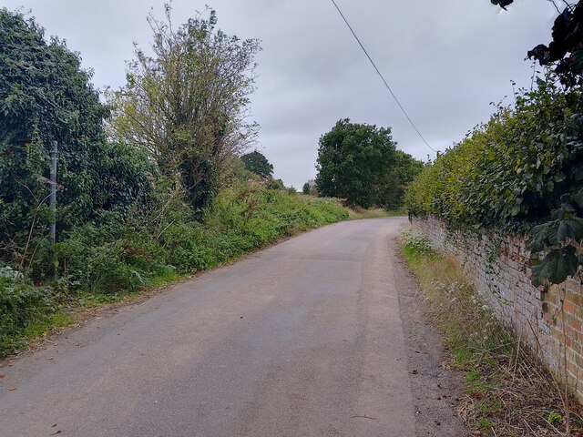
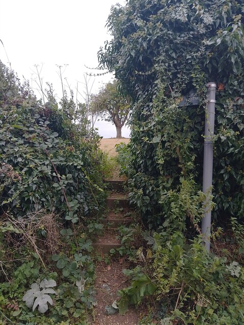
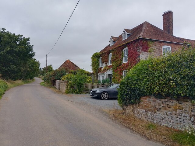
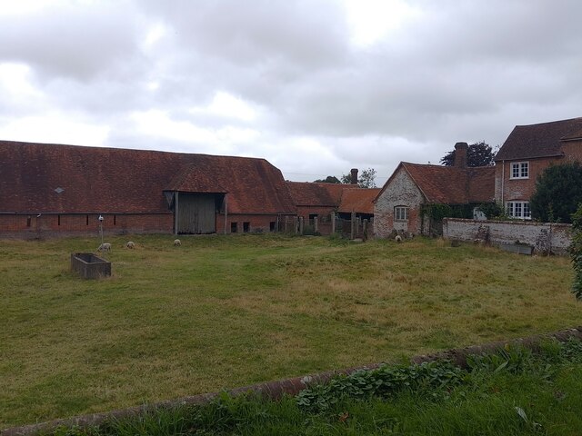
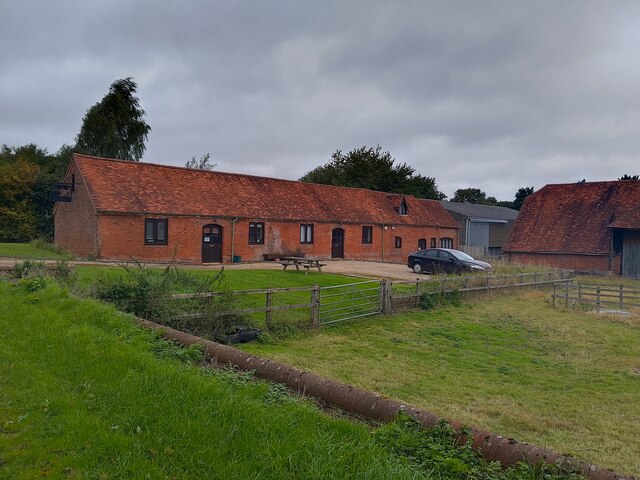
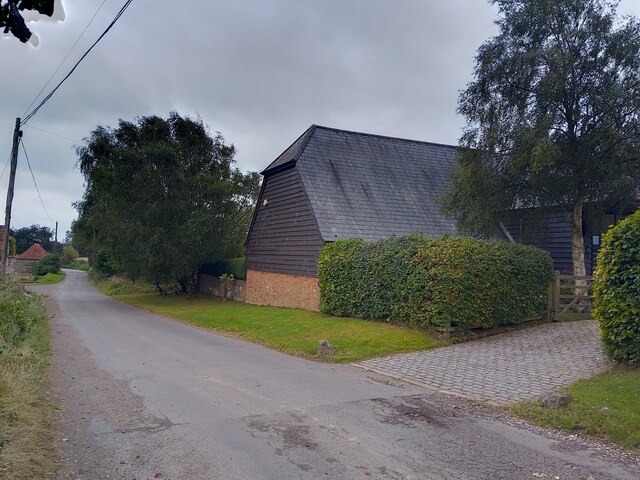
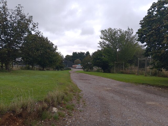
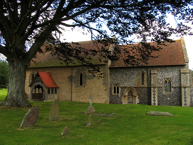
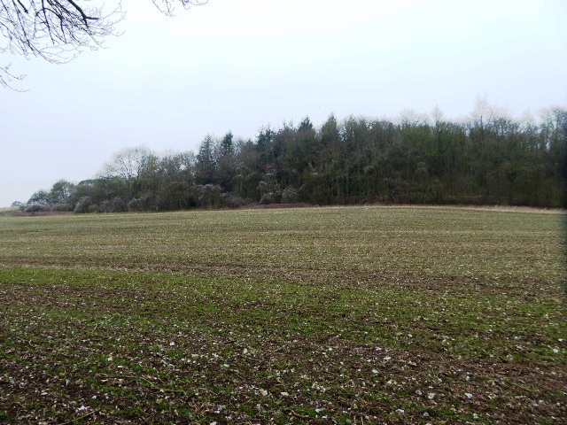
Little Hailey Copse Images
Images are sourced within 2km of 51.49606/-1.3287367 or Grid Reference SU4677. Thanks to Geograph Open Source API. All images are credited.
Little Hailey Copse is located at Grid Ref: SU4677 (Lat: 51.49606, Lng: -1.3287367)
Unitary Authority: West Berkshire
Police Authority: Thames Valley
What 3 Words
///somebody.atomic.spurring. Near Farnborough, Berkshire
Nearby Locations
Related Wikis

Peasemore
Peasemore is a village and civil parish in the English ceremonial and historic county of Berkshire in the West Berkshire unitary authority area, west of...

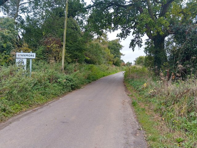
Stanmore, Berkshire
Stanmore is a hamlet in Berkshire, England. In the 2011 Census it was included in the civil parish of Beedon. It is situated west of the A34, 7 miles north...

World's End, Berkshire
World's End is a hamlet in Berkshire, England. It is in the district of West Berkshire, near the A34 north of Newbury. To the north is the village of Beedon...
Beedon
Beedon is a village and civil parish about 6+1⁄2 miles (10.5 km) north of Newbury in West Berkshire, England. == Geography == The village has outlying...

Catmore
Catmore is a civil parish and village in West Berkshire about 5+1⁄2 miles (9 km) southeast of Wantage. Catmore is in the Berkshire Downs and the centre...
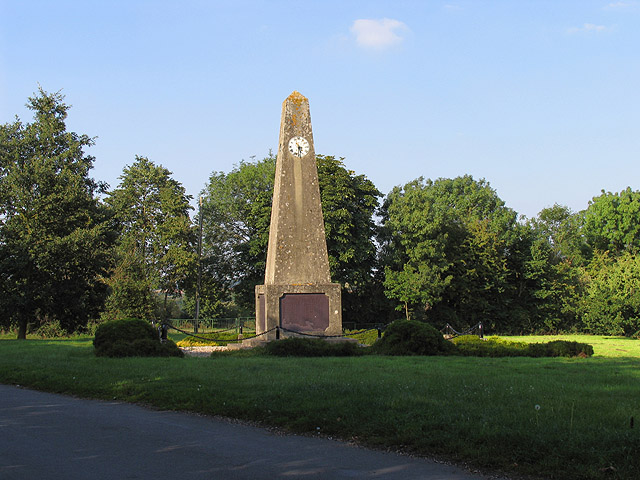
Leckhampstead War Memorial
Leckhampstead War Memorial is a Grade II listed war memorial in Leckhampstead, Berkshire, which commemorates 89 local men who served in the First World...

Leckhampstead, Berkshire
Leckhampstead is a village and civil parish in West Berkshire, England in the North Wessex Downs. A road and boundary stone in Leckhampstead, the Hangman...
Ashridge Wood
Ashridge Wood is a 15.9-hectare (39-acre) biological Site of Special Scientific Interest south-west of Compton in Berkshire. It is in the North Wessex...
Have you been to Little Hailey Copse?
Leave your review of Little Hailey Copse below (or comments, questions and feedback).