Loch of Benston

Lake, Pool, Pond, Freshwater Marsh in Shetland

Scotland

Loch of Benston

South Nesting: Skellister Post Office The Catfirth shop, on the B9075, serves as a petrol filling station like so many village stores on Shetland, and also houses the post office. The office is named Skellister perhaps suggesting that it was once in that part of South Nesting, a mile or so to the east.
South Nesting: Skellister Post Office Credit: Chris Downer

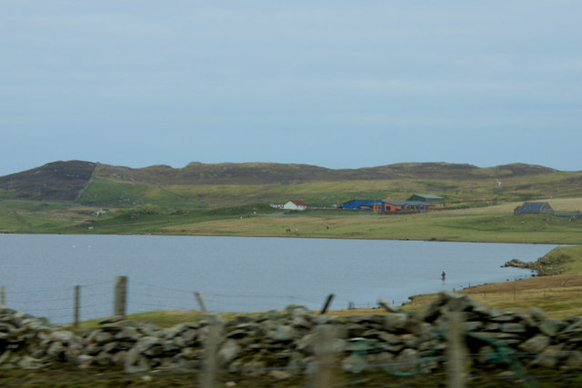
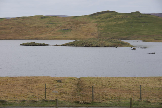
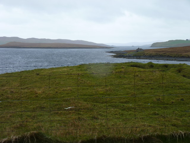
Loch of Benston is a freshwater loch located in the Shetland Islands, which are part of Scotland. It is situated on the mainland of Shetland, approximately 15 miles northeast of Lerwick, the capital of the islands. The loch is surrounded by picturesque rolling hills and is a popular spot for outdoor enthusiasts and nature lovers.

Covering an area of approximately 15 hectares, Loch of Benston is a relatively small body of water. It is fed by several small streams that flow down from the surrounding hills and is known for its clear, pristine waters. The loch is home to a variety of aquatic plants and animals, including fish such as trout and pike.

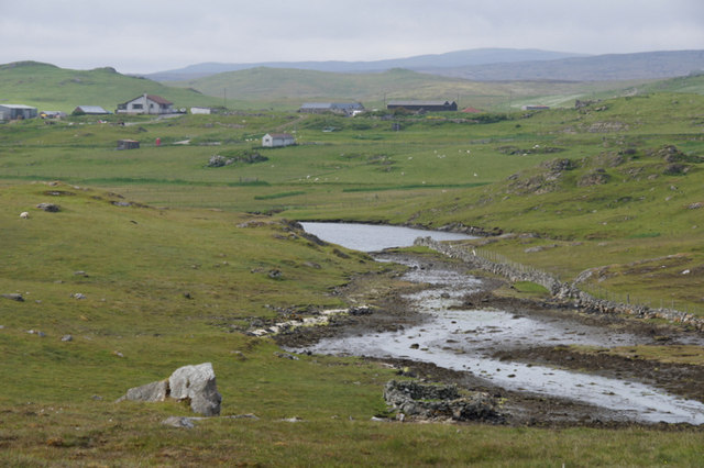
The surrounding area of Loch of Benston is characterized by wetlands and marshes, making it a haven for birdwatching enthusiasts. The loch and its surrounding wetlands provide a crucial habitat for several species of birds, including wading birds such as redshanks, curlews, and lapwings. During the breeding season, it is not uncommon to see these birds nesting and feeding along the shores of the loch.

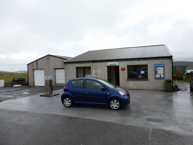
The tranquil atmosphere and scenic beauty of Loch of Benston make it a popular destination for locals and tourists alike. Visitors can enjoy activities such as fishing, birdwatching, and leisurely walks along the loch's shores. Additionally, the loch is easily accessible, with a nearby car park and walking trails that provide stunning views of the surrounding landscape.

If you have any feedback on the listing, please let us know in the comments section below.

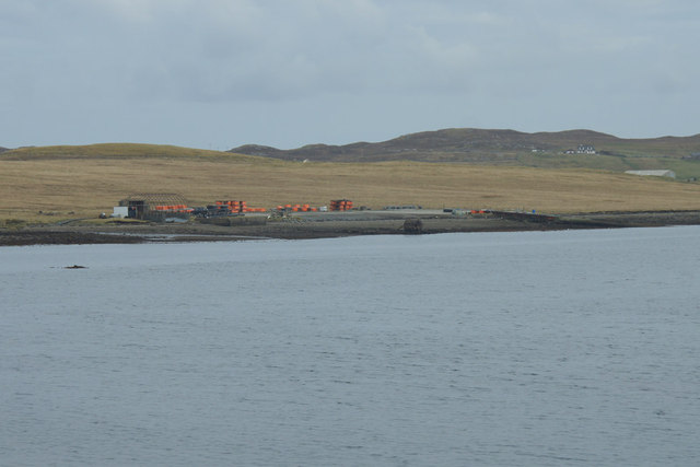
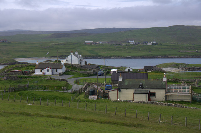
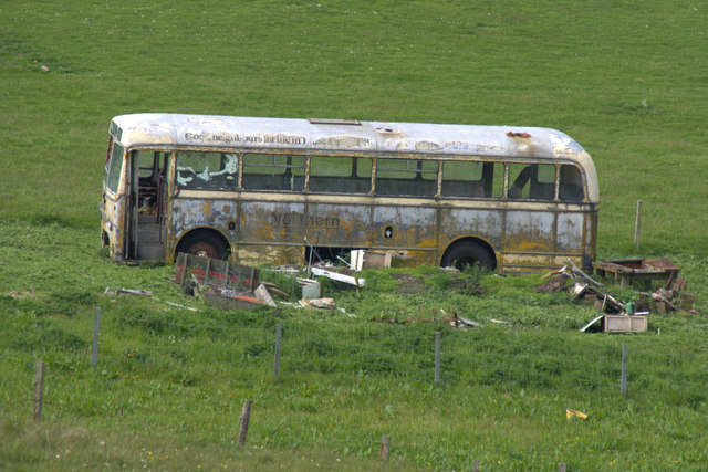
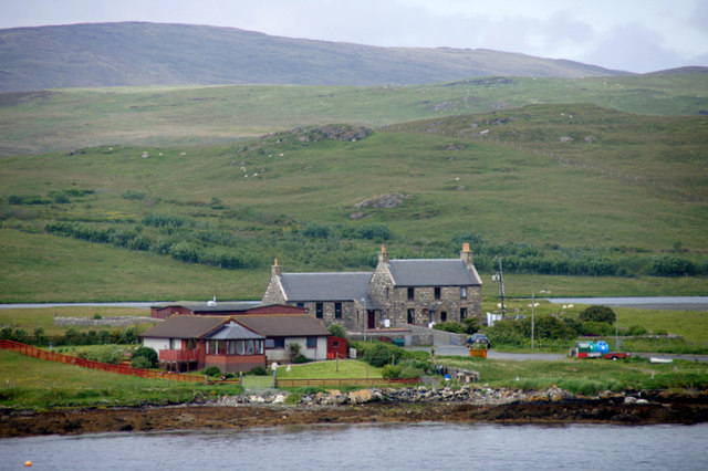
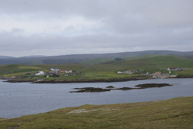
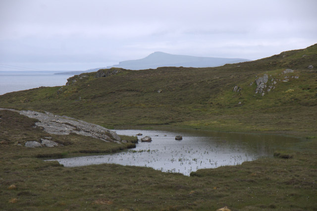
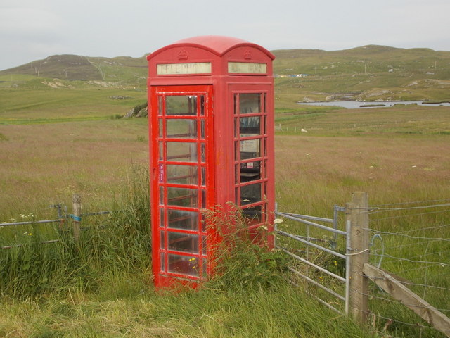
Loch of Benston Images

Images are sourced within 2km of 60.263542/-1.1671736 or Grid Reference HU4653. Thanks to Geograph Open Source API. All images are credited.

South Nesting: Skellister Post Office The Catfirth shop, on the B9075, serves as a petrol filling station like so many village stores on Shetland, and also houses the post office. The office is named Skellister perhaps suggesting that it was once in that part of South Nesting, a mile or so to the east.
South Nesting: Skellister Post Office
The Catfirth shop, on the B9075, serves as a petrol filling station like so many village stores on Shetland, and also houses the post office. The office is named Skellister perhaps suggesting that it was once in that part of South Nesting, a mile or so to the east.
South Nesting: postbox № ZE2 117 This post-1994 postbox is situated on the forecourt of <a href="https://www.geograph.org.uk/photo/2758908">HU4554 : South Nesting: Skellister Post Office</a>. It is emptied on weekday and Saturday mornings at half past nine.
South Nesting: postbox № ZE2 117
This post-1994 postbox is situated on the forecourt of HU4554 : South Nesting: Skellister Post Office. It is emptied on weekday and Saturday mornings at half past nine.
Old house at Catfirth
West end of Loch of Benston An angler is in the loch; Nesting Primary School is in the background.
West end of Loch of Benston
An angler is in the loch; Nesting Primary School is in the background.
Loch of Benston Looking towards the Holm of Benston.
Loch of Benston
Looking towards the Holm of Benston.
Aquaculture equipment on the shore at Catfirth
Calf Holm, East Voe of Skellister From Skellister.
Calf Holm, East Voe of Skellister
From Skellister.
Vadill of Garth, South Nesting A Vadill is somewhere that can be crossed (by wading) at low tide.
Vadill of Garth, South Nesting
A Vadill is somewhere that can be crossed (by wading) at low tide.
Vadill of Garth, South Nesting
Vadill of Garth and Trowie Loch, South Nesting The Trowie Loch is a tidal loch which fills at high tide but only partly drains at low tide.
Vadill of Garth and Trowie Loch, South Nesting
The Trowie Loch is a tidal loch which fills at high tide but only partly drains at low tide.
Brough, South Nesting Looking across the Vadill of Garth towards Skellister.
Brough, South Nesting
Looking across the Vadill of Garth towards Skellister.
Old bus at Brough, South Nesting The name Northern can just be made out on the side.
Old bus at Brough, South Nesting
The name Northern can just be made out on the side.
Former Nesting School Now a heritage centre. Loch of Benston is in the background.
Former Nesting School
Now a heritage centre. Loch of Benston is in the background.
Vassa Voe, South Nesting The skerries in the middle of the voe appear to be un-named.
Vassa Voe, South Nesting
The skerries in the middle of the voe appear to be un-named.
Lochan on the road to Gletness, South Nesting In the distance is the isle of Noss.
Lochan on the road to Gletness, South Nesting
In the distance is the isle of Noss.
South Nesting: red telephone box A traditional red phone box, still in operation and looking as if the door is newer than the rest of the box.
South Nesting: red telephone box
A traditional red phone box, still in operation and looking as if the door is newer than the rest of the box.
Looking across Cat Firth The island to the left of centre is Little Holm Island.
Looking across Cat Firth
The island to the left of centre is Little Holm Island.
South Nesting View of the road.
South Nesting
View of the road.
Show me another place!

Loch of Benston is located at Grid Ref: HU4653 (Lat: 60.263542, Lng: -1.1671736)

Unitary Authority: Shetland Islands

Police Authority: Highlands and Islands

What 3 Words

///chimp.outgrown.twins. Near Symbister, Shetland Islands

Related Wikis

Freester

Freester is a settlement on Mainland, Shetland, Scotland. It is in the parish of Nesting. == References == == External links == Canmore - Hard Knowe site...

RAF Catfirth

RAF Catfirth was a First World War seaplane base located on the island of Mainland in the Shetland Islands, Scotland. The base was under the control of...

North Isle of Gletness

The North Isle of Gletness is one of the Shetland Islands. It is east of the Shetland Mainland, near Gletness in Nesting parish, and is so called in contradistinction...

South Isle of Gletness

The South Isle of Gletness is an islet off Gletness, in Nesting in east central, Mainland, Shetland. It is 30m at its highest point. Amongst its features...

Nearby Amenities

Located within 500m of 60.263542,-1.1671736
Brock of Benston
Historic: archaeological_site
Lat/Long: 60.2651539/-1.1646447
Power: pole
Lat/Long: 60.2619139/-1.1598425
Power: pole
Lat/Long: 60.2618146/-1.1611843
Power: pole
Lat/Long: 60.2617018/-1.1620121
Power: pole
Lat/Long: 60.2617007/-1.1634358
Power: pole
Lat/Long: 60.2614107/-1.164748
Power: pole
Lat/Long: 60.2606498/-1.1613299
Power: pole
Lat/Long: 60.2613244/-1.1612435
Power: pole
Lat/Long: 60.2606944/-1.172485
Power: pole
Lat/Long: 60.2609561/-1.1713206
Power: pole
Lat/Long: 60.2611851/-1.1703199
Power: pole
Lat/Long: 60.2614322/-1.1692533
Power: pole
Lat/Long: 60.2612359/-1.1679956
The data included in this document is from www.openstreetmap.org. The data is made available under ODbL.

Have you been to Loch of Benston?

Leave your review of Loch of Benston below (or comments, questions and feedback).