Benston

Settlement in Shetland

Scotland

Benston

South Nesting View of the road.
South Nesting Credit: Mat Tuck

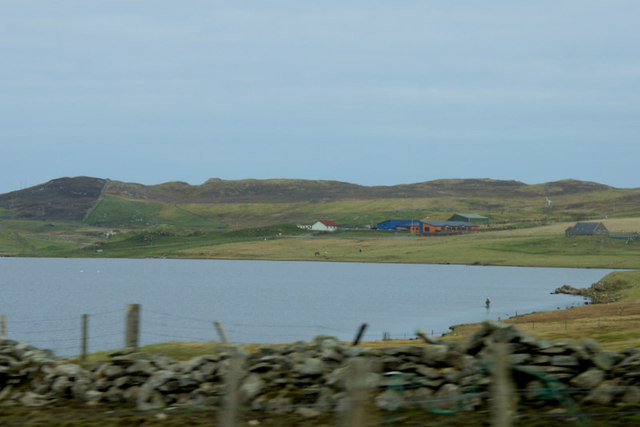
Benston is a picturesque village located on the island of Shetland, which is part of Scotland. Situated on the mainland, this small settlement is nestled in the southern part of the island, offering breathtaking views of the surrounding countryside and the North Sea. With a population of approximately 200 residents, Benston provides a tranquil and close-knit community atmosphere.

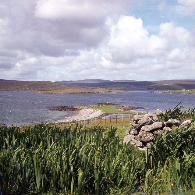
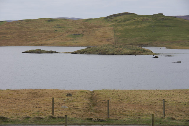
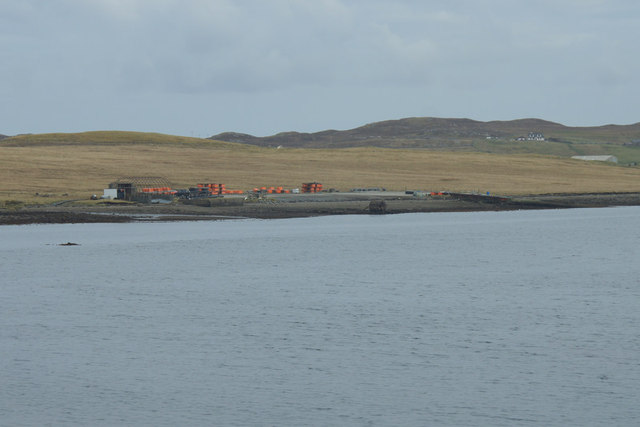
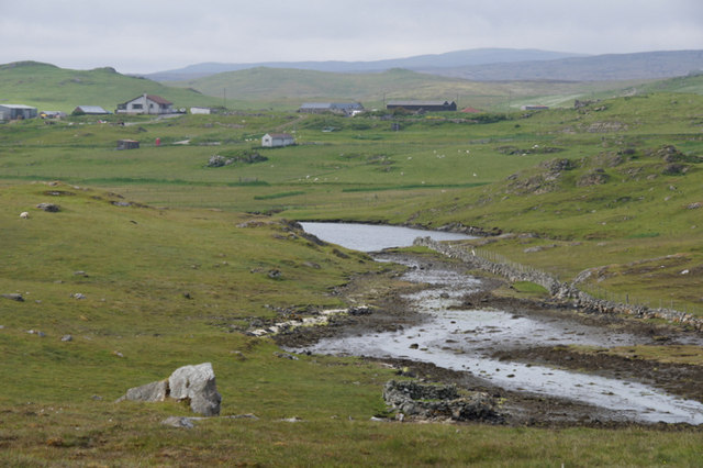
The village of Benston is known for its charming architecture, with traditional stone cottages and well-maintained gardens. The area is rich in natural beauty, with rolling green hills and rugged cliffs that attract visitors who enjoy outdoor activities such as hiking, birdwatching, and photography. The nearby coastline offers stunning beaches and opportunities for water sports like fishing and kayaking.

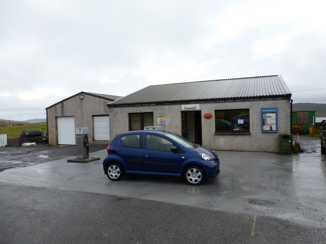
Residents and visitors in Benston can enjoy a wide range of amenities. The village has a community center that hosts various social events and activities throughout the year, promoting a sense of unity among its inhabitants. For basic necessities, there is a small convenience store that caters to the needs of the locals.

The village is also home to St. Mary's Church, a beautiful place of worship that dates back to the 19th century. This historical gem serves as a reminder of the village's rich cultural heritage.

Overall, Benston, Shetland is an idyllic village that showcases the natural beauty and close community ties that are characteristic of the Shetland Islands. With its stunning landscapes and welcoming residents, this tranquil settlement offers a peaceful retreat for those seeking a connection with nature and a sense of belonging.

If you have any feedback on the listing, please let us know in the comments section below.
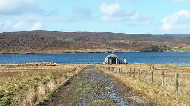
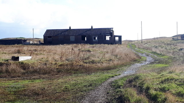
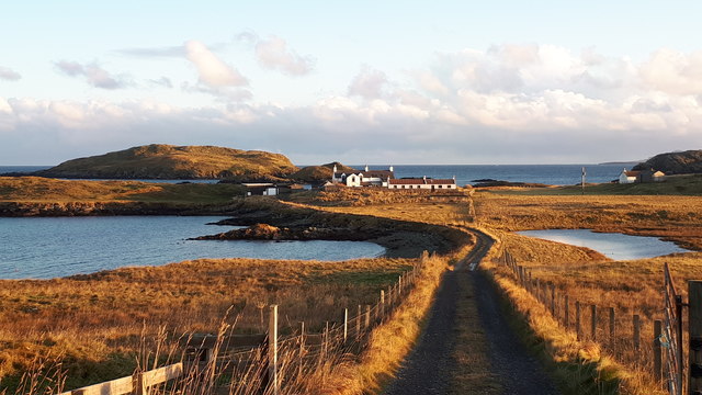
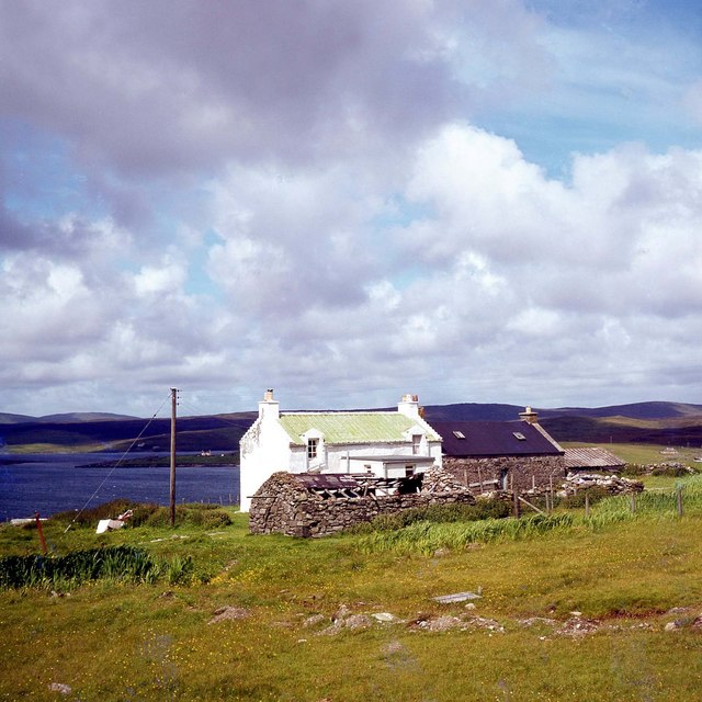
Benston Images

Images are sourced within 2km of 60.258643/-1.1706228 or Grid Reference HU4653. Thanks to Geograph Open Source API. All images are credited.

South Nesting View of the road.
South Nesting
View of the road.
Track to the shore at Catfirth
The remains of Catfirth airfield Only open for about a year at the end of the First World War, but of especial significance to Shetland as the location of the first plane to land in the islands.
The remains of Catfirth airfield
Only open for about a year at the end of the First World War, but of especial significance to Shetland as the location of the first plane to land in the islands.
Loch of Benston, South Nesting
Benston and Garth, South Nesting
Vassa Voe, South Nesting
Northouse, South Nesting
Railsbrough, a croft house
Quoy, Railsbrough
Quoy, Railsbrough
South Nesting: Skellister Post Office The Catfirth shop, on the B9075, serves as a petrol filling station like so many village stores on Shetland, and also houses the post office. The office is named Skellister perhaps suggesting that it was once in that part of South Nesting, a mile or so to the east.
South Nesting: Skellister Post Office
The Catfirth shop, on the B9075, serves as a petrol filling station like so many village stores on Shetland, and also houses the post office. The office is named Skellister perhaps suggesting that it was once in that part of South Nesting, a mile or so to the east.
South Nesting: postbox № ZE2 117 This post-1994 postbox is situated on the forecourt of <a href="https://www.geograph.org.uk/photo/2758908">HU4554 : South Nesting: Skellister Post Office</a>. It is emptied on weekday and Saturday mornings at half past nine.
South Nesting: postbox № ZE2 117
This post-1994 postbox is situated on the forecourt of HU4554 : South Nesting: Skellister Post Office. It is emptied on weekday and Saturday mornings at half past nine.
Old house at Catfirth
West end of Loch of Benston An angler is in the loch; Nesting Primary School is in the background.
West end of Loch of Benston
An angler is in the loch; Nesting Primary School is in the background.
Loch of Benston Looking towards the Holm of Benston.
Loch of Benston
Looking towards the Holm of Benston.
Aquaculture equipment on the shore at Catfirth
Vadill of Garth, South Nesting A Vadill is somewhere that can be crossed (by wading) at low tide.
Vadill of Garth, South Nesting
A Vadill is somewhere that can be crossed (by wading) at low tide.
Vadill of Garth, South Nesting
Vadill of Garth and Trowie Loch, South Nesting The Trowie Loch is a tidal loch which fills at high tide but only partly drains at low tide.
Vadill of Garth and Trowie Loch, South Nesting
The Trowie Loch is a tidal loch which fills at high tide but only partly drains at low tide.
Show me another place!

Benston is located at Grid Ref: HU4653 (Lat: 60.258643, Lng: -1.1706228)

Unitary Authority: Shetland Islands

Police Authority: Highlands and Islands

What 3 Words

///painted.adopting.confronts. Near Aith, Shetland Islands

Related Wikis

Freester

Freester is a settlement on Mainland, Shetland, Scotland. It is in the parish of Nesting. == References == == External links == Canmore - Hard Knowe site...

RAF Catfirth

RAF Catfirth was a First World War seaplane base located on the island of Mainland in the Shetland Islands, Scotland. The base was under the control of...

North Isle of Gletness

The North Isle of Gletness is one of the Shetland Islands. It is east of the Shetland Mainland, near Gletness in Nesting parish, and is so called in contradistinction...

South Isle of Gletness

The South Isle of Gletness is an islet off Gletness, in Nesting in east central, Mainland, Shetland. It is 30m at its highest point. Amongst its features...

Nearby Amenities

Located within 500m of 60.258643,-1.1706228
Power: pole
Lat/Long: 60.2614107/-1.164748
Power: pole
Lat/Long: 60.2557894/-1.1648458
Power: pole
Lat/Long: 60.2564687/-1.1652006
Power: pole
Lat/Long: 60.2570339/-1.1644615
Power: pole
Lat/Long: 60.2575225/-1.1638133
Power: pole
Lat/Long: 60.2580967/-1.1630424
Power: pole
Lat/Long: 60.2587522/-1.1622009
Power: pole
Lat/Long: 60.2589931/-1.1738882
Power: pole
Lat/Long: 60.2591386/-1.1745727
Power: pole
Lat/Long: 60.2593214/-1.1754346
Power: pole
Lat/Long: 60.2593857/-1.1757439
Power: pole
Lat/Long: 60.2596441/-1.1769811
Power: pole
Lat/Long: 60.2609008/-1.1776247
Power: pole
Lat/Long: 60.2607226/-1.1763398
Power: pole
Lat/Long: 60.2605579/-1.1751435
Power: pole
Lat/Long: 60.2603796/-1.1737972
Power: pole
Lat/Long: 60.2606944/-1.172485
Power: pole
Lat/Long: 60.2609561/-1.1713206
Power: pole
Lat/Long: 60.2611851/-1.1703199
Power: pole
Lat/Long: 60.2614322/-1.1692533
Power: pole
Lat/Long: 60.2612359/-1.1679956
Power: pole
Lat/Long: 60.2599532/-1.1752755
The data included in this document is from www.openstreetmap.org. The data is made available under ODbL.

Have you been to Benston?

Leave your review of Benston below (or comments, questions and feedback).