Cro Water

Lake, Pool, Pond, Freshwater Marsh in Shetland

Scotland

Cro Water

Beach in West Yell A small stony beach near the outflow for the Roo Burn.
Beach in West Yell Credit: Mike Pennington

The requested URL returned error: 429 Too Many Requests

If you have any feedback on the listing, please let us know in the comments section below.
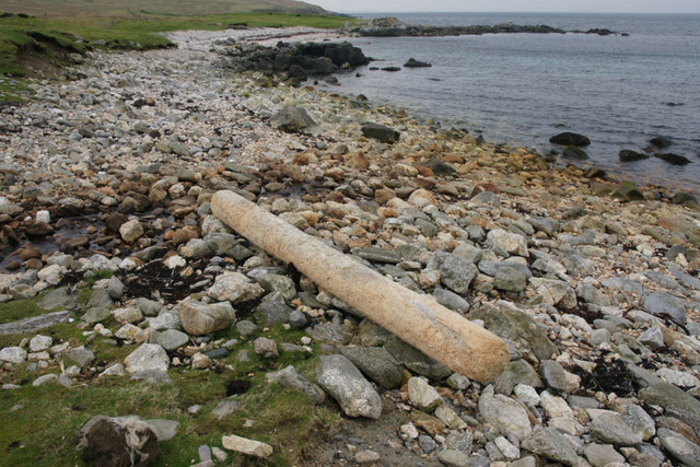
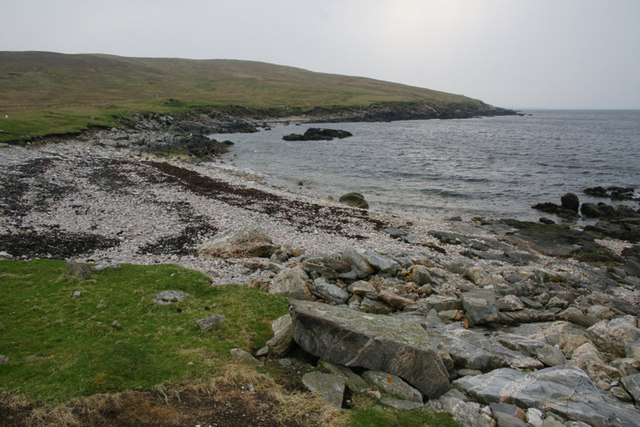
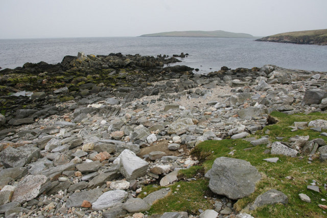
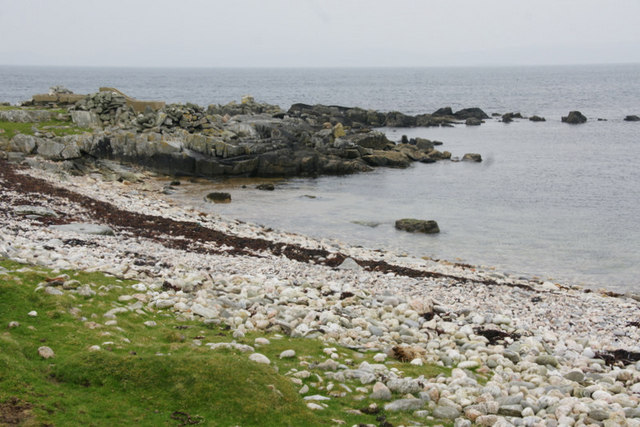
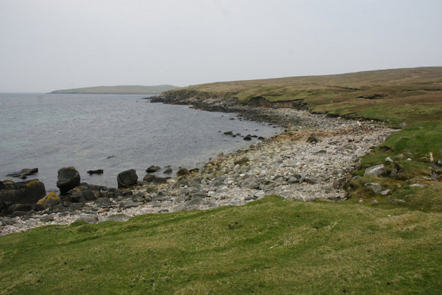
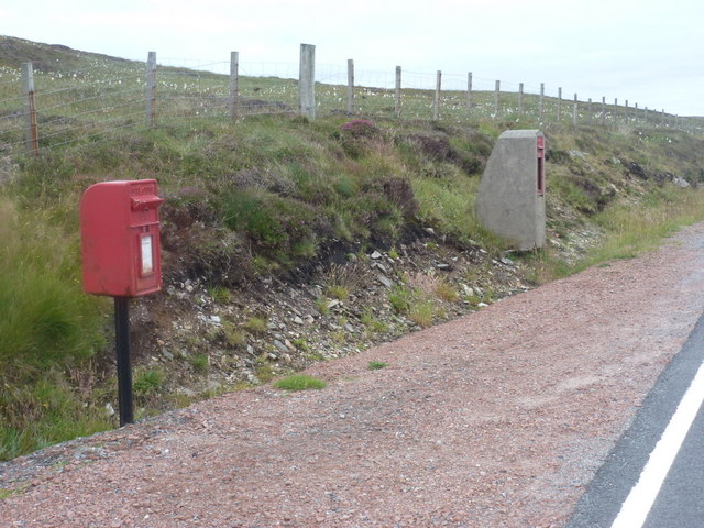
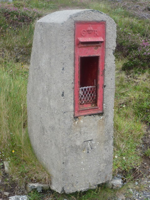
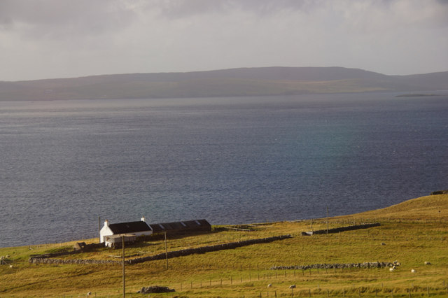
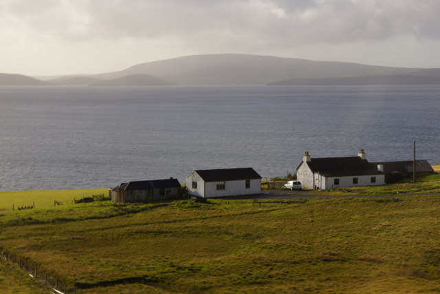
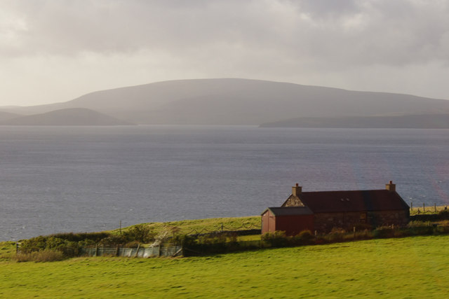
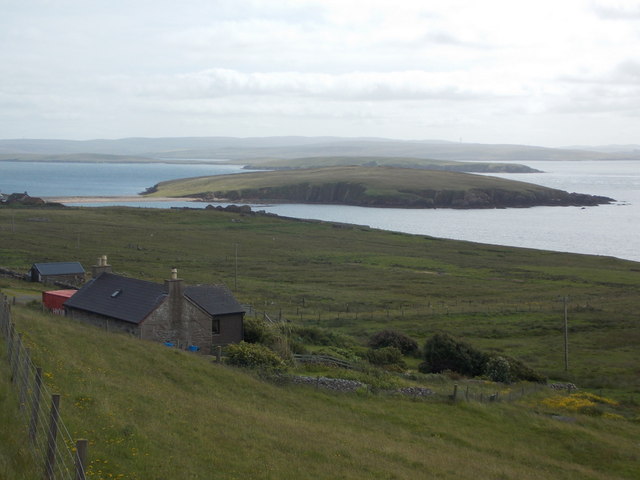
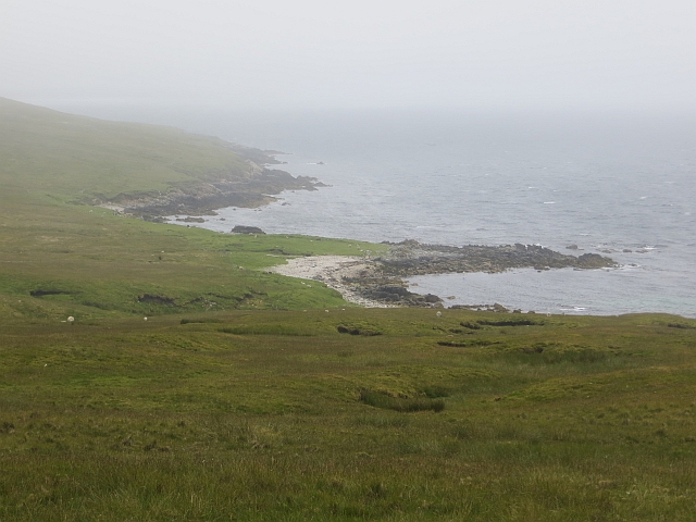
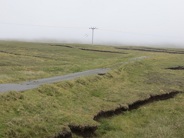
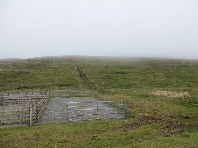
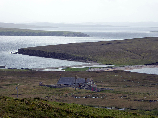
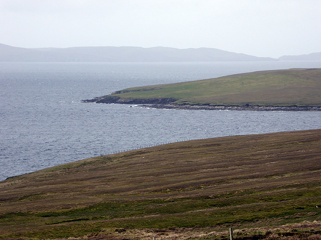
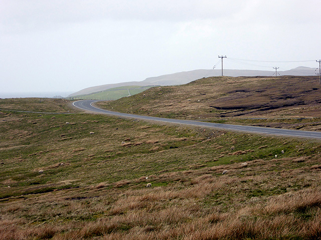
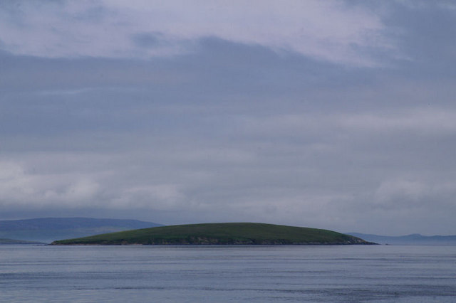
Cro Water Images

Images are sourced within 2km of 60.540468/-1.1596693 or Grid Reference HU4684. Thanks to Geograph Open Source API. All images are credited.

Beach in West Yell A small stony beach near the outflow for the Roo Burn.
Beach in West Yell
A small stony beach near the outflow for the Roo Burn.
Jetsam on a beach by the Roo Burn outflow, West Yell
Coastline north of Head of Brough, West Yell
Small headland between Head of Brough and Markna Geo, West Yell Looking towards the Ness of West Sandwick.
Small headland between Head of Brough and Markna Geo, West Yell
Looking towards the Ness of West Sandwick.
Headland between Head of Brough and Markna Geo, West Yell There is a small concrete structure of uncertain function on the headland (just visible on the left).
Headland between Head of Brough and Markna Geo, West Yell
There is a small concrete structure of uncertain function on the headland (just visible on the left).
Coastline south of Markna Geo, West Yell
West Yell: postbox № ZE2 39 A small postbox, a modern replacement for the old box still in its pillar a little beyond (see <a href="https://www.geograph.org.uk/photo/2632485">HU4582 : West Yell: disused postbox</a> for a close-up). Its collection time, daily except Sunday, is 10:15am.
West Yell: postbox № ZE2 39
A small postbox, a modern replacement for the old box still in its pillar a little beyond (see HU4582 : West Yell: disused postbox for a close-up). Its collection time, daily except Sunday, is 10:15am.
West Yell: disused postbox A George V-reign postbox, long disused and situated a couple of yards from its modern replacement (see <a href="https://www.geograph.org.uk/photo/2632479">HU4582 : West Yell: postbox № ZE2 39</a>). An Ordnance Survey benchmark is etched into the stone pillar.
West Yell: disused postbox
A George V-reign postbox, long disused and situated a couple of yards from its modern replacement (see HU4582 : West Yell: postbox № ZE2 39). An Ordnance Survey benchmark is etched into the stone pillar.
House at Sound, West Yell Overlooking Yell Sound.
House at Sound, West Yell
Overlooking Yell Sound.
Kirkhouse, West Yell Ronas Hill is in the background.
Kirkhouse, West Yell
Ronas Hill is in the background.
Everhoull, West Yell Ronas Hill in the background across Yell Sound.
Everhoull, West Yell
Ronas Hill in the background across Yell Sound.
West Yell: a house with a view A small house alongside the A968, with fine views across Ness of Sound, the headland that is connected to Yell by an isthmus. Uynarey is the island behind it.
West Yell: a house with a view
A small house alongside the A968, with fine views across Ness of Sound, the headland that is connected to Yell by an isthmus. Uynarey is the island behind it.
Moorland, west coast of Yell Yell is mostly made of the same sort of schists and quartzites as the Perthshire Highlands and often gives the appearance of the high moors of Atholl brought down to sea level.
Moorland, west coast of Yell
Yell is mostly made of the same sort of schists and quartzites as the Perthshire Highlands and often gives the appearance of the high moors of Atholl brought down to sea level.
Old road The previous single track version of the A968 amongst peat banks.
Old road
The previous single track version of the A968 amongst peat banks.
Fence and pens, Everhoull A strip has been left between fields to allow the sheep onto and off the moorland.
Fence and pens, Everhoull
A strip has been left between fields to allow the sheep onto and off the moorland.
West Yell School House The Ness of Sound isthmus is in the centre of the view.
West Yell School House
The Ness of Sound isthmus is in the centre of the view.
Yell Sound from West Sandwick Evidence of peat cutting in the foreground?
Yell Sound from West Sandwick
Evidence of peat cutting in the foreground?
The A968 road on west Yell
Show me another place!

Cro Water is located at Grid Ref: HU4684 (Lat: 60.540468, Lng: -1.1596693)

Unitary Authority: Shetland Islands

Police Authority: Highlands and Islands

What 3 Words

///dumpy.plank.newsreel. Near Ulsta, Shetland Islands

Nearby Locations

Gossa Water Cro Water

Related Wikis

Uynarey

Uynarey is one of the Shetland islands in Yell Sound, just to the north of Bigga, and east of Brother Island. It is an RSPB reserve. The name comes from...

Ulsta

Ulsta is a village in the south-west of the island of Yell, Shetland, Scotland. North Ness Hall is the local community facility. The car ferry to Toft...

West Sandwick

West Sandwick is a settlement on the island of Yell, Shetland Islands, Scotland. It is one of the few settlements in the west of the island. West Sandwick...

Brother Isle

Brother Isle (Old Norse: breiðare øy meaning broad beach island) is a small, uninhabited island in Shetland, Scotland. It lies between the islands of Yell...

Have you been to Cro Water?

Leave your review of Cro Water below (or comments, questions and feedback).