Newhill Pond

Lake, Pool, Pond, Freshwater Marsh in Oxfordshire West Oxfordshire

England

Newhill Pond

Upper Farm Dwelling in Ramsden.
Upper Farm Credit: Wayland Smith

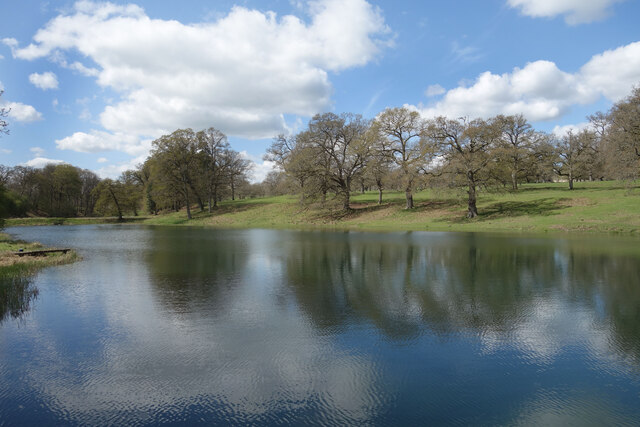
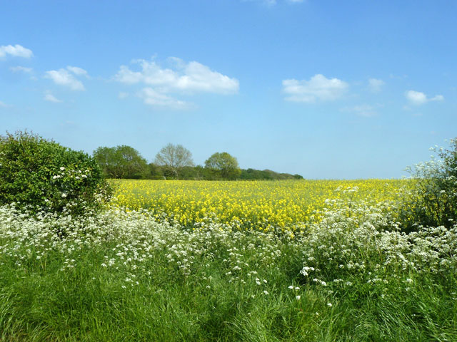
Newhill Pond, located in Oxfordshire, is a picturesque freshwater marsh that serves as a popular recreational spot for both locals and tourists. Spanning an area of approximately 10 acres, the pond is nestled amidst lush greenery, creating a serene and tranquil ambiance.

As a freshwater marsh, Newhill Pond is home to a variety of aquatic plants and wildlife. The pond's clear waters are teeming with diverse species of fish, including roach, perch, and pike, making it a haven for anglers. The surrounding marshland provides a habitat for numerous bird species, such as swans, ducks, and herons, making it an ideal destination for birdwatchers.

The pond itself is relatively shallow, with an average depth of around 3 meters. Its gently sloping banks make it easily accessible for visitors who wish to indulge in activities such as swimming or boating. The calm and clean waters of Newhill Pond also attract kayakers and canoeists, who can leisurely explore the pond's nooks and crannies.

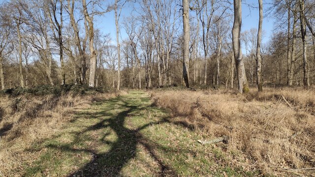
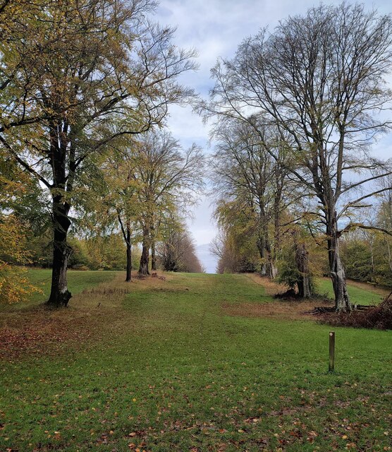
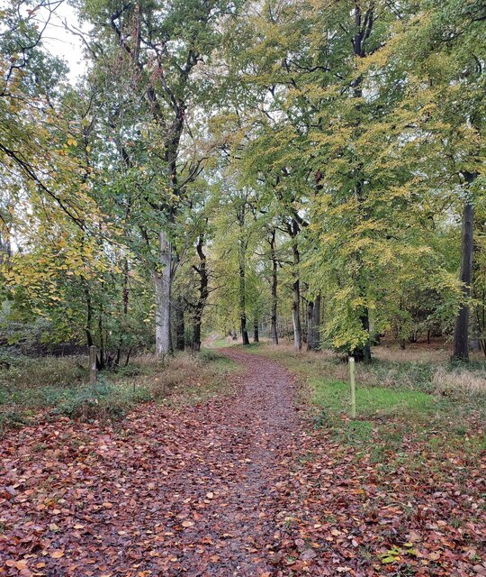
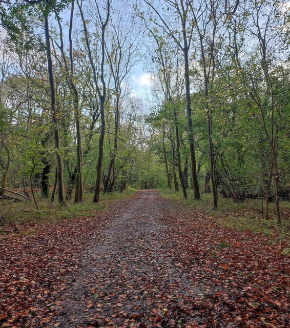
For those who prefer to stay on land, Newhill Pond offers several well-maintained footpaths that meander through the surrounding woodland. These paths provide visitors with the opportunity to immerse themselves in nature, observe the local flora and fauna, and enjoy the peaceful ambiance.

Newhill Pond is open to the public year-round, but it is particularly popular during the summer months when the weather is warm and conducive to outdoor activities. With its natural beauty and abundance of wildlife, Newhill Pond is a true gem of Oxfordshire and a must-visit destination for nature enthusiasts and outdoor lovers.

If you have any feedback on the listing, please let us know in the comments section below.
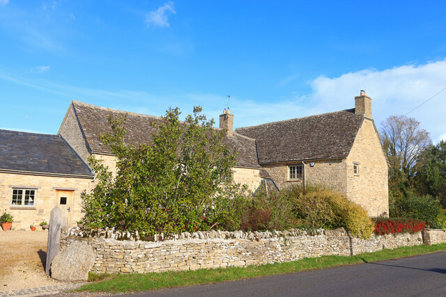
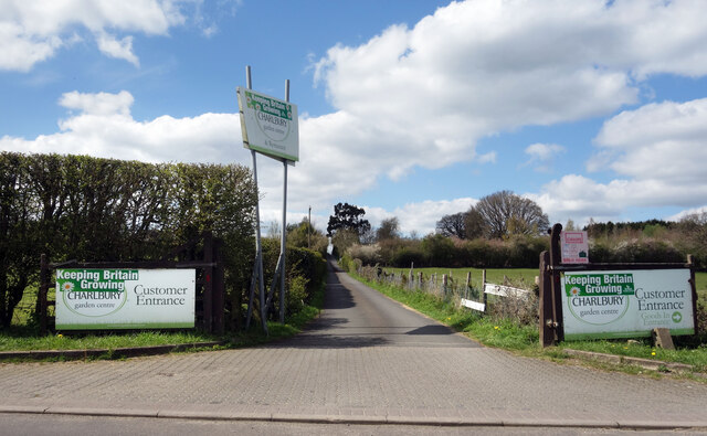
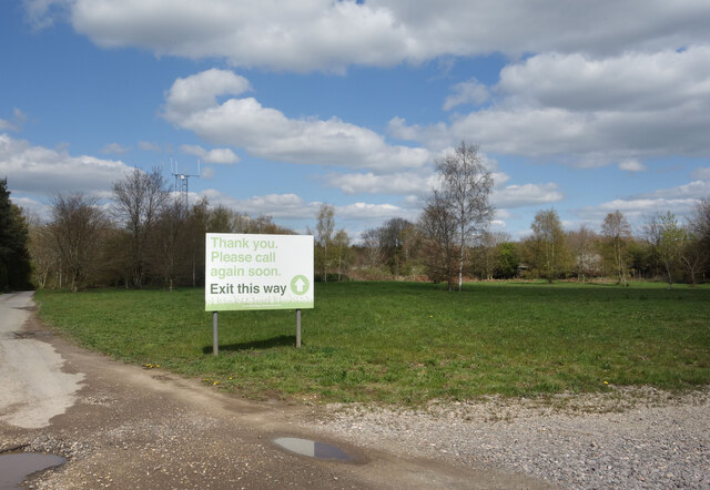
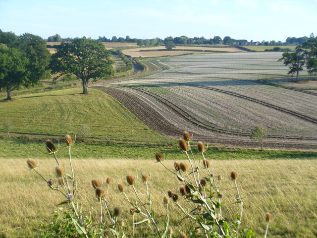
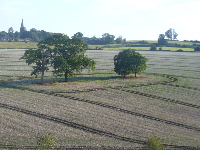
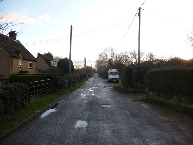
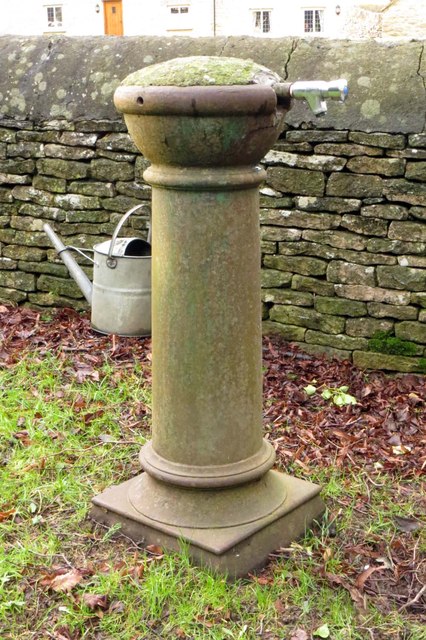
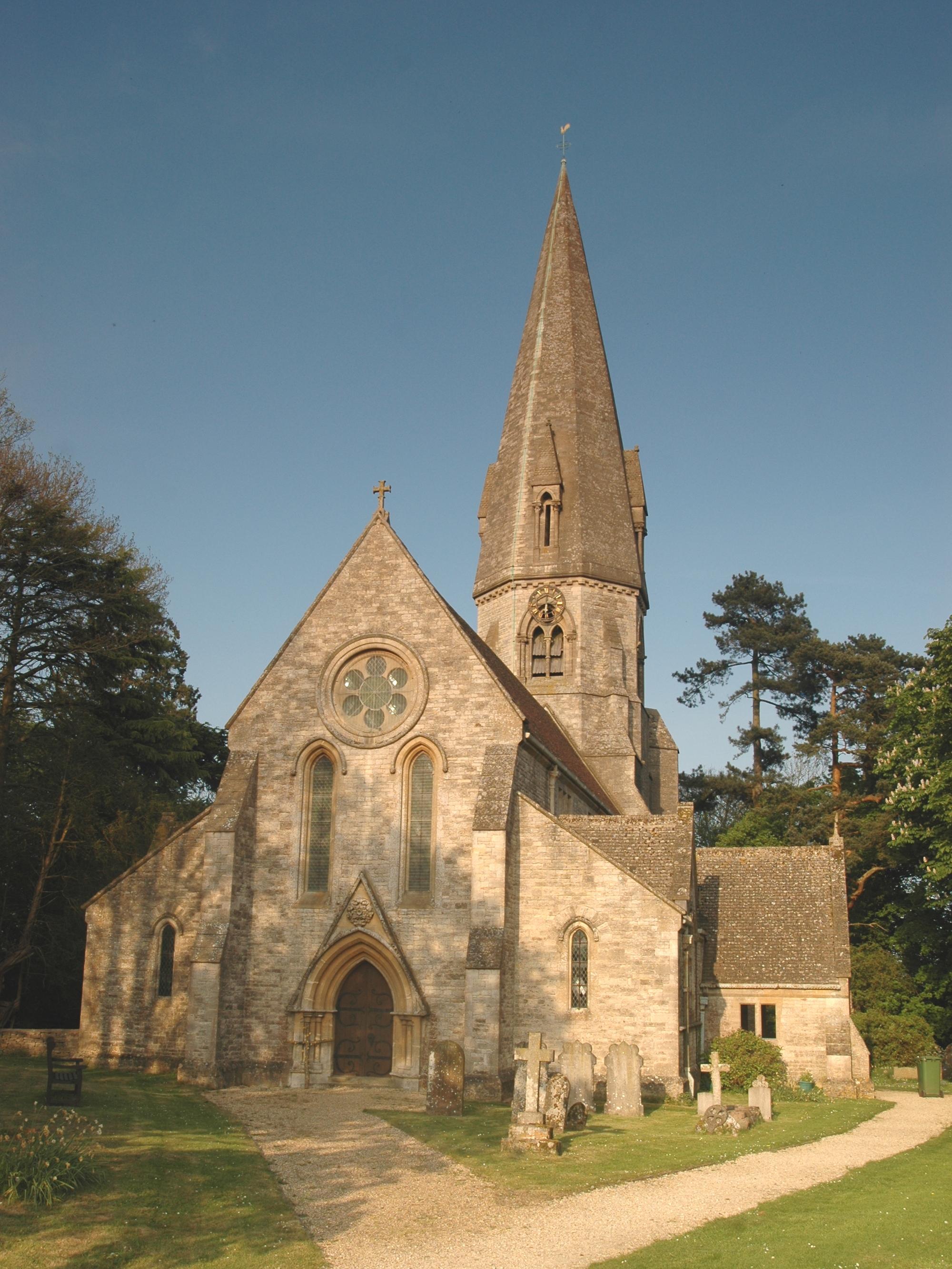
Newhill Pond Images

Images are sourced within 2km of 51.849912/-1.5086326 or Grid Reference SP3316. Thanks to Geograph Open Source API. All images are credited.

Upper Farm Dwelling in Ramsden.
Upper Farm
Dwelling in Ramsden.
Wychwood Forest Track into Wychwood Forest
Wychwood Forest
Track into Wychwood Forest
Tower Light, Wychwood Forest This ride in Wychwood Forest is called Tower Light.
Tower Light, Wychwood Forest
This ride in Wychwood Forest is called Tower Light.
Footpath through Wychwood Forest
Lake in Cornbury Park A line of ornamental lakes has been created in the park along the course of a short tributary of the Evenlode, originating from springs in the park and the adjoining Wychwood Forest.
Lake in Cornbury Park
A line of ornamental lakes has been created in the park along the course of a short tributary of the Evenlode, originating from springs in the park and the adjoining Wychwood Forest.
Finstock High Street Finstock High Street is a residential village street.
Finstock High Street
Finstock High Street is a residential village street.
High Street, Mount Skippett A continuation of Finstock High Street. 
Mount Skippett is a settlement of mainly 20th century housing between the old villages of Ramsden and Finstock.
As for being a Mount, at around 170 metres aod it is just that bit higher than the surrounding area, but not much.
High Street, Mount Skippett
A continuation of Finstock High Street. Mount Skippett is a settlement of mainly 20th century housing between the old villages of Ramsden and Finstock. As for being a Mount, at around 170 metres aod it is just that bit higher than the surrounding area, but not much.
Way into the Garden Centre The entrance to Charlbury Garden Centre. 
In a bit of a rural coffee desert there's a nice cafe here with capuccino and cake.
They also do plants and compost and stuff.
Recommended.
Way into the Garden Centre
The entrance to Charlbury Garden Centre. In a bit of a rural coffee desert there's a nice cafe here with capuccino and cake. They also do plants and compost and stuff. Recommended.
Way out of the Garden Centre There's a one way system around Charlbury Garden Centre, probably because the entrance road is so narrow.
It's a lot longer to get out than to get in.
Way out of the Garden Centre
There's a one way system around Charlbury Garden Centre, probably because the entrance road is so narrow. It's a lot longer to get out than to get in.
Fiveash Bottom Evening sunshine on the fields near Leafield, at the edge of Wychwood Forest.
Fiveash Bottom
Evening sunshine on the fields near Leafield, at the edge of Wychwood Forest.
Fiveash Bottom from Hatchings Lane Summer evening near Leafield. The field on the hillside shows clear tractor wheel marks.
<span class="nowrap"><a title="http://www.leafieldvillage.co.uk/" rel="nofollow ugc noopener" href="http://www.leafieldvillage.co.uk/">Link</a><img style="margin-left:2px;" alt="External link" title="External link - shift click to open in new window" src="https://s1.geograph.org.uk/img/external.png" width="10" height="10"/></span>
Fiveash Bottom from Hatchings Lane
Summer evening near Leafield. The field on the hillside shows clear tractor wheel marks. LinkExternal link
Mount Skippet, Finstock A quiet residential lane at the top end of the village.
Mount Skippet, Finstock
A quiet residential lane at the top end of the village.
Part of the car park and entrance at Hilltop Garden Centre Early morning on a December day and the car park is already filling up with pre-Christmas visitors and customers.
Part of the car park and entrance at Hilltop Garden Centre
Early morning on a December day and the car park is already filling up with pre-Christmas visitors and customers.
Part of the High Street, Finstock This higher end of the High Street is fully given over to more modern homes.
Part of the High Street, Finstock
This higher end of the High Street is fully given over to more modern homes.
Re-thatching a cottage in Finstock High Street It's always nice to see thatch and even better to see some thatching in progress. Lovely old cottages these.
Re-thatching a cottage in Finstock High Street
It's always nice to see thatch and even better to see some thatching in progress. Lovely old cottages these.
Tap in the churchyard The tap provides water for tending the graves in the churchyard.
Tap in the churchyard
The tap provides water for tending the graves in the churchyard.
Field of oil-seed rape East of Hatching Lane.
Field of oil-seed rape
East of Hatching Lane.
Show me another place!

Newhill Pond is located at Grid Ref: SP3316 (Lat: 51.849912, Lng: -1.5086326)

Administrative County: Oxfordshire

District: West Oxfordshire

Police Authority: Thames Valley

What 3 Words

///compelled.swim.stubbed. Near Charlbury, Oxfordshire

Related Wikis

Wychwood

Wychwood or Wychwood Forest is a 501.7-hectare (1,240-acre) biological Site of Special Scientific Interest north of Witney in Oxfordshire. It is also a...

Finstock

Finstock is a village and civil parish about 2 miles (3 km) south of Charlbury in Oxfordshire, England. The parish is bounded to the northeast by the...

Cornbury Park

Cornbury Park is an estate near Charlbury, Oxfordshire. It comprises about 5000 acres, mostly farmland and woods, including a remnant of the Wychwood Forest...

Finstock railway station

Finstock railway station serves the village of Finstock and the hamlet of Fawler in Oxfordshire, England. It is some distance from Finstock itself, being...

Charlbury railway station

Charlbury railway station is a railway station serving the town of Charlbury in Oxfordshire, England. This station and all trains serving it are operated...

Leafield Castle

Leafield Castle (also known as Leafield Barrow) is a motte castle in the village of Leafield in the north west region of Oxfordshire. All that is left...

Leafield

Leafield is a village and civil parish about 4 miles (6.4 km) northwest of Witney in West Oxfordshire. The parish includes the hamlet of Langley, 1 mile...

Fawler

Fawler is a hamlet and civil parish in the valley of the River Evenlode, 1.5 miles (2.4 km) southeast of Charlbury in Oxfordshire, England. There are...

Nearby Amenities

Located within 500m of 51.849912,-1.5086326
Hawksnest Copse
Place: locality
Lat/Long: 51.847962/-1.5046971
Evenden Bottom
Place: locality
Lat/Long: 51.8510091/-1.5135307
Cyder Well
Natural: spring
Lat/Long: 51.8521701/-1.5142104
Natural: spring
Lat/Long: 51.849755/-1.5102939
Natural: spring
Lat/Long: 51.8496307/-1.5104504
Natural: spring
Lat/Long: 51.8495754/-1.5105203
The data included in this document is from www.openstreetmap.org. The data is made available under ODbL.

Have you been to Newhill Pond?

Leave your review of Newhill Pond below (or comments, questions and feedback).