Dogslade Bottom

Valley in Oxfordshire West Oxfordshire

England

Dogslade Bottom

Upper Farm Dwelling in Ramsden.
Upper Farm Credit: Wayland Smith

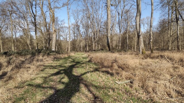
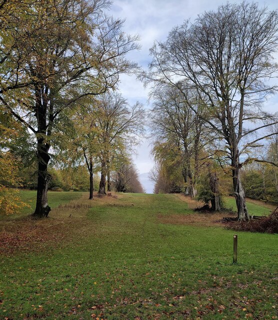
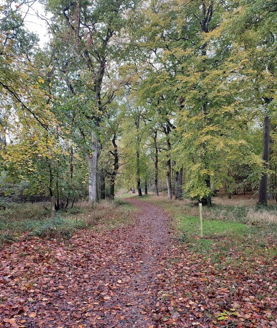
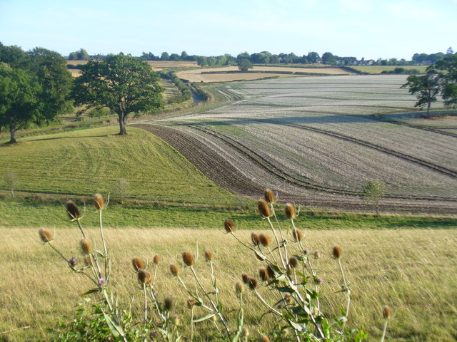
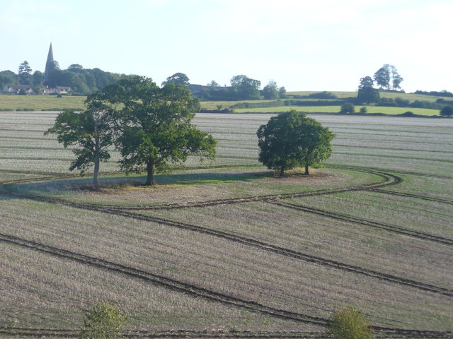
Dogslade Bottom is a picturesque valley located in Oxfordshire, England. Situated in the heart of the Chiltern Hills, this idyllic valley is characterized by its stunning natural beauty and tranquil atmosphere.

The valley is named after a small stream that runs through it, known as Dogslade Brook. Lined with lush vegetation and surrounded by rolling hills, the brook adds to the charm of the area. The valley is also home to a variety of flora and fauna, including wildflowers, birds, and small mammals.

Dogslade Bottom offers visitors the opportunity to escape the hustle and bustle of city life and immerse themselves in nature. The valley is crisscrossed by walking trails, making it a popular destination for hikers and nature enthusiasts. The trails provide breathtaking views of the surrounding countryside, with the valley acting as a natural amphitheater.

In addition to its natural beauty, Dogslade Bottom boasts a rich history. The area has been inhabited since ancient times, with evidence of Iron Age and Roman settlements found in the vicinity. Today, remnants of these historical sites can still be seen, adding a sense of intrigue to the valley.

Overall, Dogslade Bottom offers a serene and picturesque escape for those seeking to connect with nature. Its stunning landscapes, diverse wildlife, and historical significance make it a must-visit destination for both locals and tourists alike.

If you have any feedback on the listing, please let us know in the comments section below.

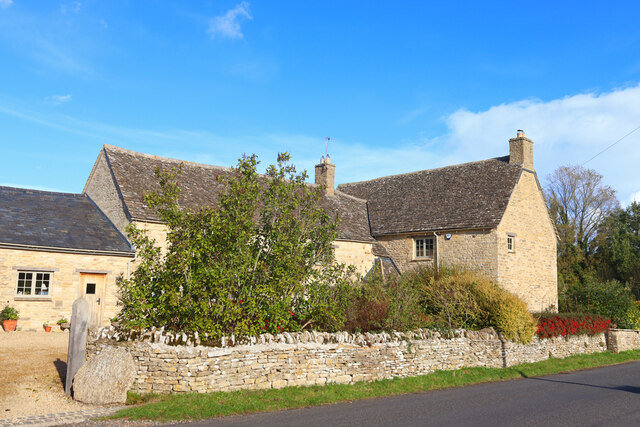
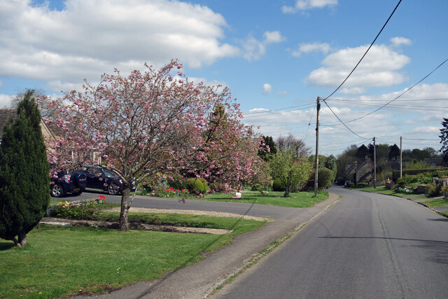
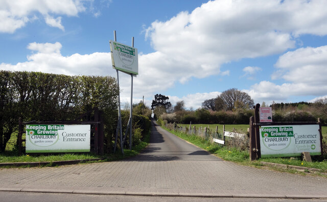
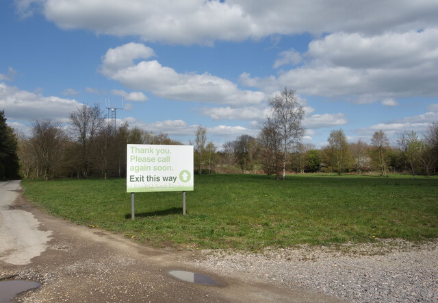
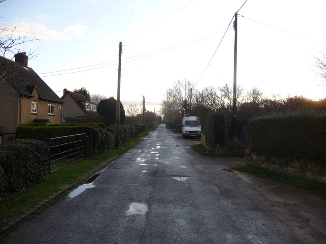
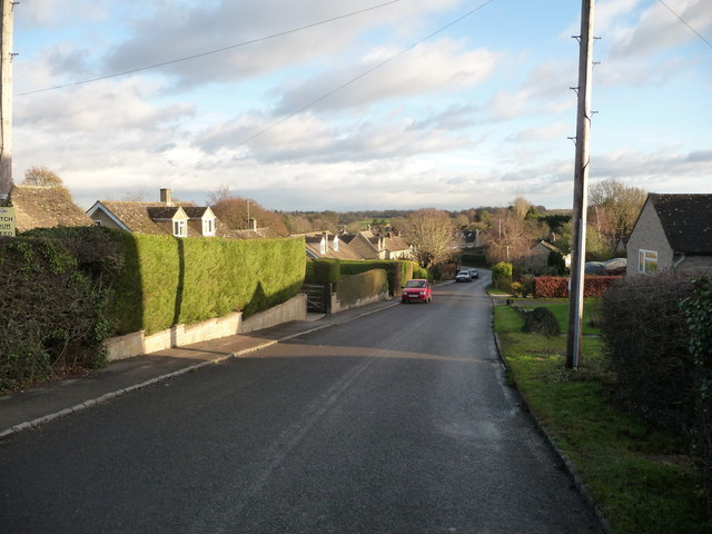
Dogslade Bottom Images

Images are sourced within 2km of 51.842655/-1.514721 or Grid Reference SP3316. Thanks to Geograph Open Source API. All images are credited.

Upper Farm Dwelling in Ramsden.
Upper Farm
Dwelling in Ramsden.
Wychwood Forest Track into Wychwood Forest
Wychwood Forest
Track into Wychwood Forest
Tower Light, Wychwood Forest This ride in Wychwood Forest is called Tower Light.
Tower Light, Wychwood Forest
This ride in Wychwood Forest is called Tower Light.
Footpath through Wychwood Forest
High Street, Mount Skippett A continuation of Finstock High Street. 
Mount Skippett is a settlement of mainly 20th century housing between the old villages of Ramsden and Finstock.
As for being a Mount, at around 170 metres aod it is just that bit higher than the surrounding area, but not much.
High Street, Mount Skippett
A continuation of Finstock High Street. Mount Skippett is a settlement of mainly 20th century housing between the old villages of Ramsden and Finstock. As for being a Mount, at around 170 metres aod it is just that bit higher than the surrounding area, but not much.
Way into the Garden Centre The entrance to Charlbury Garden Centre. 
In a bit of a rural coffee desert there's a nice cafe here with capuccino and cake.
They also do plants and compost and stuff.
Recommended.
Way into the Garden Centre
The entrance to Charlbury Garden Centre. In a bit of a rural coffee desert there's a nice cafe here with capuccino and cake. They also do plants and compost and stuff. Recommended.
Way out of the Garden Centre There's a one way system around Charlbury Garden Centre, probably because the entrance road is so narrow.
It's a lot longer to get out than to get in.
Way out of the Garden Centre
There's a one way system around Charlbury Garden Centre, probably because the entrance road is so narrow. It's a lot longer to get out than to get in.
Village Cross, Leafield A medieval "Central Cross" in "the Greens", opposite the parish church. Base, steps and octagonal shaft are original, the cross would have been added in 1873 when the <a href="https://www.geograph.org.uk/photo/7609839">SP3115 : Village Cross, plaque, Leafield</a> explaining restoration was conducted in thanks to deliverance from the smallpox plague.

Grade II listed monument Nᴼ 1300897 see <span class="nowrap"><a title="https://historicengland.org.uk/listing/the-list/list-entry/1300897" rel="nofollow ugc noopener" href="https://historicengland.org.uk/listing/the-list/list-entry/1300897">Link</a><img style="margin-left:2px;" alt="External link" title="External link - shift click to open in new window" src="https://s1.geograph.org.uk/img/external.png" width="10" height="10"/></span>

Milestone Society National ID: OXWO_LEA
Village Cross, Leafield
A medieval "Central Cross" in "the Greens", opposite the parish church. Base, steps and octagonal shaft are original, the cross would have been added in 1873 when the SP3115 : Village Cross, plaque, Leafield explaining restoration was conducted in thanks to deliverance from the smallpox plague. Grade II listed monument Nᴼ 1300897 see LinkExternal link Milestone Society National ID: OXWO_LEA
Village Cross, plaque, Leafield Memorial plate on a medieval "central cross". The view of the cross is <a href="https://www.geograph.org.uk/photo/7609836">SP3115 : Village Cross, Leafield</a>.

Inscription:
"In the name of the Father, and of the Son and of the Holy Ghost, amen. This ancient cross was restored by the inhabitants of Leafield as a memorial of their deliverance from the scourge of small pox AD 1873"
Village Cross, plaque, Leafield
Memorial plate on a medieval "central cross". The view of the cross is SP3115 : Village Cross, Leafield. Inscription: "In the name of the Father, and of the Son and of the Holy Ghost, amen. This ancient cross was restored by the inhabitants of Leafield as a memorial of their deliverance from the scourge of small pox AD 1873"
The Pearl Chinese restaurant On the eastern edge of Leafield. This was once called the Spindleberry, and has had other names, although these escape me at the moment.
The Pearl Chinese restaurant
On the eastern edge of Leafield. This was once called the Spindleberry, and has had other names, although these escape me at the moment.
Fiveash Bottom Evening sunshine on the fields near Leafield, at the edge of Wychwood Forest.
Fiveash Bottom
Evening sunshine on the fields near Leafield, at the edge of Wychwood Forest.
Fiveash Bottom from Hatchings Lane Summer evening near Leafield. The field on the hillside shows clear tractor wheel marks.
<span class="nowrap"><a title="http://www.leafieldvillage.co.uk/" rel="nofollow ugc noopener" href="http://www.leafieldvillage.co.uk/">Link</a><img style="margin-left:2px;" alt="External link" title="External link - shift click to open in new window" src="https://s1.geograph.org.uk/img/external.png" width="10" height="10"/></span>
Fiveash Bottom from Hatchings Lane
Summer evening near Leafield. The field on the hillside shows clear tractor wheel marks. LinkExternal link
Leafield Parish Church St Michael and All Angels - landmark church with tall spire. It was designed by Sir George Gilbert Scott (1859).
<span class="nowrap"><a title="http://www.leafieldvillage.co.uk/" rel="nofollow ugc noopener" href="http://www.leafieldvillage.co.uk/">Link</a><img style="margin-left:2px;" alt="External link" title="External link - shift click to open in new window" src="https://s1.geograph.org.uk/img/external.png" width="10" height="10"/></span>
Leafield Parish Church
St Michael and All Angels - landmark church with tall spire. It was designed by Sir George Gilbert Scott (1859). LinkExternal link
Village Cross, Leafield The base is original but the shaft was restored in 1873, following 1850 vandalism. Beyond is the parish church spire.
<span class="nowrap"><a title="http://www.leafieldvillage.co.uk/" rel="nofollow ugc noopener" href="http://www.leafieldvillage.co.uk/">Link</a><img style="margin-left:2px;" alt="External link" title="External link - shift click to open in new window" src="https://s1.geograph.org.uk/img/external.png" width="10" height="10"/></span>
Village Cross, Leafield
The base is original but the shaft was restored in 1873, following 1850 vandalism. Beyond is the parish church spire. LinkExternal link
Mount Skippet, Finstock A quiet residential lane at the top end of the village.
Mount Skippet, Finstock
A quiet residential lane at the top end of the village.
Part of the car park and entrance at Hilltop Garden Centre Early morning on a December day and the car park is already filling up with pre-Christmas visitors and customers.
Part of the car park and entrance at Hilltop Garden Centre
Early morning on a December day and the car park is already filling up with pre-Christmas visitors and customers.
Part of the High Street, Finstock This higher end of the High Street is fully given over to more modern homes.
Part of the High Street, Finstock
This higher end of the High Street is fully given over to more modern homes.
Akeman Street heading to Chasewood Farm From New Found Out Farm Akeman Street heading to Chasewood Farm
Akeman Street heading to Chasewood Farm
From New Found Out Farm Akeman Street heading to Chasewood Farm
Show me another place!

Dogslade Bottom is located at Grid Ref: SP3316 (Lat: 51.842655, Lng: -1.514721)

Administrative County: Oxfordshire

District: West Oxfordshire

Police Authority: Thames Valley

What 3 Words

///weeds.petted.boxing. Near Charlbury, Oxfordshire

Related Wikis

Wychwood

Wychwood or Wychwood Forest is a 501.7-hectare (1,240-acre) biological Site of Special Scientific Interest north of Witney in Oxfordshire. It is also a...

Leafield Castle

Leafield Castle (also known as Leafield Barrow) is a motte castle in the village of Leafield in the north west region of Oxfordshire. All that is left...

Leafield

Leafield is a village and civil parish about 4 miles (6.4 km) northwest of Witney in West Oxfordshire. The parish includes the hamlet of Langley, 1 mile...

Finstock

Finstock is a village and civil parish about 2 miles (3 km) south of Charlbury in Oxfordshire, England. The parish is bounded to the northeast by the...

Cornbury Park

Cornbury Park is an estate near Charlbury, Oxfordshire. It comprises about 5000 acres, mostly farmland and woods, including a remnant of the Wychwood Forest...

Finstock railway station

Finstock railway station serves the village of Finstock and the hamlet of Fawler in Oxfordshire, England. It is some distance from Finstock itself, being...

Leafield Technical Centre

Leafield Technical Centre is a former radio transmission station, now turned motorsports centre of excellence, located in the hamlet of Langley, in the...

Wilcote

Wilcote is a hamlet about 3+1⁄2 miles (5.6 km) north of Witney in Oxfordshire, England. Wilcote was a hamlet of Cogges from at least the Middle Ages until...

Nearby Amenities

Located within 500m of 51.842655,-1.514721
Power: pole
Source: Bing
Lat/Long: 51.8394535/-1.5114111
Power: pole
Source: Bing
Lat/Long: 51.8392248/-1.5125108
Power: pole
Source: Bing
Lat/Long: 51.8389828/-1.5136508
Power: pole
Lat/Long: 51.8396921/-1.5103062
Power: pole
Lat/Long: 51.8399399/-1.509111
Withy Bottom
Place: locality
Lat/Long: 51.8467492/-1.5174467
Maple Hill
Place: locality
Lat/Long: 51.8430082/-1.5184591
Dogslade Bottom
Place: locality
Lat/Long: 51.8418399/-1.5152499
The data included in this document is from www.openstreetmap.org. The data is made available under ODbL.

Have you been to Dogslade Bottom?

Leave your review of Dogslade Bottom below (or comments, questions and feedback).