Maple Hill

Hill, Mountain in Oxfordshire West Oxfordshire

England

Maple Hill

Wychwood Forest Track into Wychwood Forest
Wychwood Forest Credit: Shaun Ferguson

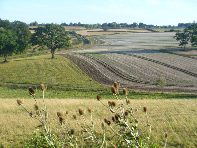
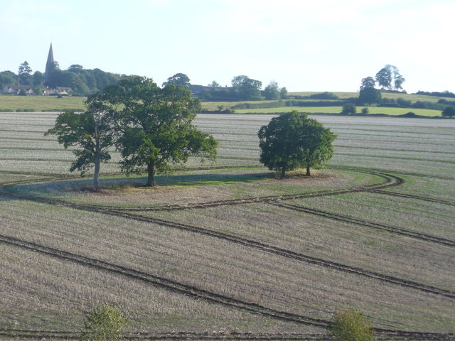
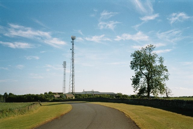
Maple Hill is a prominent natural landmark located in the county of Oxfordshire, England. Situated in the southern part of the county, Maple Hill is a picturesque hill/mountain that offers breathtaking views of the surrounding countryside. Rising to an elevation of approximately 350 meters (1150 feet), it is considered one of the highest points in the region.

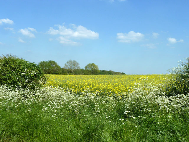
The hill is predominantly covered in lush greenery, with an abundance of maple trees that give it its name. These trees contribute to the vibrant autumn foliage that attracts visitors from far and wide. Maple Hill boasts a diverse range of flora and fauna, including various wildflowers, birds, and small mammals, making it a popular spot for nature enthusiasts.

The summit of Maple Hill provides a panoramic vista, offering stunning views of the rolling Oxfordshire countryside, with its patchwork of fields, hedgerows, and charming villages. On a clear day, it is even possible to catch a glimpse of the Cotswold Hills, adding to its allure.

Visitors to Maple Hill can enjoy a range of outdoor activities, such as hiking, picnicking, and nature walks. There are well-maintained footpaths that lead to the summit, making it accessible to both experienced hikers and casual walkers. The hill also features a designated viewpoint, where visitors can take in the breathtaking scenery and capture memorable photographs.

Overall, Maple Hill in Oxfordshire is a natural gem that offers not only a serene escape but also a chance to connect with the beauty of the English countryside. Its stunning views and diverse ecosystem make it a must-visit destination for both locals and tourists alike.

If you have any feedback on the listing, please let us know in the comments section below.
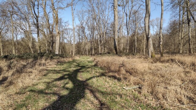
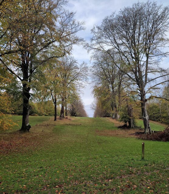
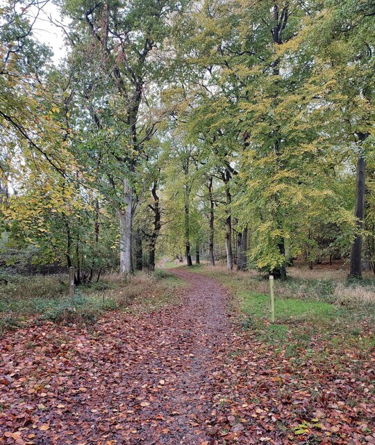
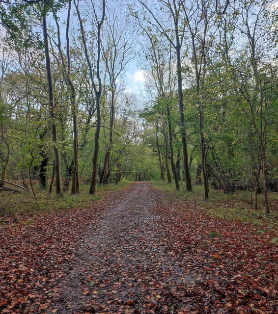
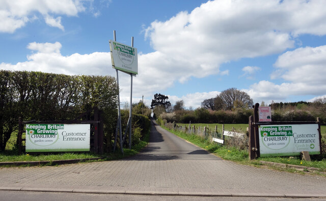
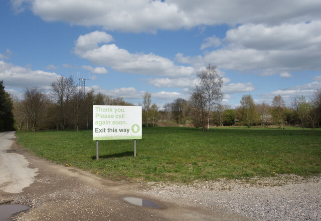
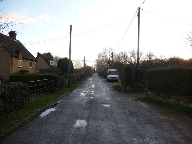
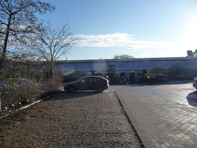
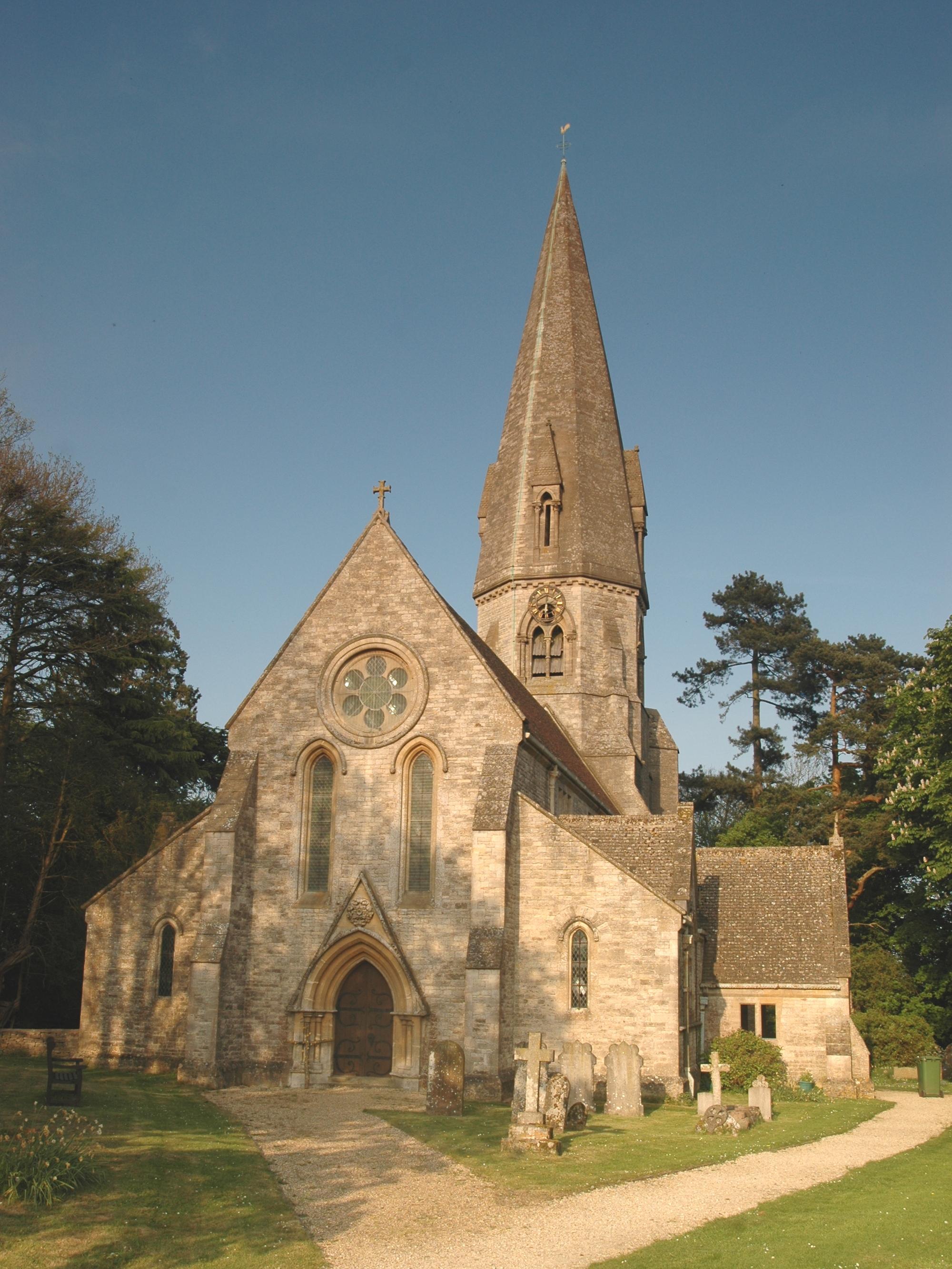
Maple Hill Images

Images are sourced within 2km of 51.844873/-1.5185149 or Grid Reference SP3316. Thanks to Geograph Open Source API. All images are credited.

Wychwood Forest Track into Wychwood Forest
Wychwood Forest
Track into Wychwood Forest
Tower Light, Wychwood Forest This ride in Wychwood Forest is called Tower Light.
Tower Light, Wychwood Forest
This ride in Wychwood Forest is called Tower Light.
Footpath through Wychwood Forest
Way into the Garden Centre The entrance to Charlbury Garden Centre. 
In a bit of a rural coffee desert there's a nice cafe here with capuccino and cake.
They also do plants and compost and stuff.
Recommended.
Way into the Garden Centre
The entrance to Charlbury Garden Centre. In a bit of a rural coffee desert there's a nice cafe here with capuccino and cake. They also do plants and compost and stuff. Recommended.
Way out of the Garden Centre There's a one way system around Charlbury Garden Centre, probably because the entrance road is so narrow.
It's a lot longer to get out than to get in.
Way out of the Garden Centre
There's a one way system around Charlbury Garden Centre, probably because the entrance road is so narrow. It's a lot longer to get out than to get in.
Village Cross, Leafield A medieval "Central Cross" in "the Greens", opposite the parish church. Base, steps and octagonal shaft are original, the cross would have been added in 1873 when the <a href="https://www.geograph.org.uk/photo/7609839">SP3115 : Village Cross, plaque, Leafield</a> explaining restoration was conducted in thanks to deliverance from the smallpox plague.

Grade II listed monument Nᴼ 1300897 see <span class="nowrap"><a title="https://historicengland.org.uk/listing/the-list/list-entry/1300897" rel="nofollow ugc noopener" href="https://historicengland.org.uk/listing/the-list/list-entry/1300897">Link</a><img style="margin-left:2px;" alt="External link" title="External link - shift click to open in new window" src="https://s1.geograph.org.uk/img/external.png" width="10" height="10"/></span>

Milestone Society National ID: OXWO_LEA
Village Cross, Leafield
A medieval "Central Cross" in "the Greens", opposite the parish church. Base, steps and octagonal shaft are original, the cross would have been added in 1873 when the SP3115 : Village Cross, plaque, Leafield explaining restoration was conducted in thanks to deliverance from the smallpox plague. Grade II listed monument Nᴼ 1300897 see LinkExternal link Milestone Society National ID: OXWO_LEA
Village Cross, plaque, Leafield Memorial plate on a medieval "central cross". The view of the cross is <a href="https://www.geograph.org.uk/photo/7609836">SP3115 : Village Cross, Leafield</a>.

Inscription:
"In the name of the Father, and of the Son and of the Holy Ghost, amen. This ancient cross was restored by the inhabitants of Leafield as a memorial of their deliverance from the scourge of small pox AD 1873"
Village Cross, plaque, Leafield
Memorial plate on a medieval "central cross". The view of the cross is SP3115 : Village Cross, Leafield. Inscription: "In the name of the Father, and of the Son and of the Holy Ghost, amen. This ancient cross was restored by the inhabitants of Leafield as a memorial of their deliverance from the scourge of small pox AD 1873"
The Pearl Chinese restaurant On the eastern edge of Leafield. This was once called the Spindleberry, and has had other names, although these escape me at the moment.
The Pearl Chinese restaurant
On the eastern edge of Leafield. This was once called the Spindleberry, and has had other names, although these escape me at the moment.
Fiveash Bottom Evening sunshine on the fields near Leafield, at the edge of Wychwood Forest.
Fiveash Bottom
Evening sunshine on the fields near Leafield, at the edge of Wychwood Forest.
Fiveash Bottom from Hatchings Lane Summer evening near Leafield. The field on the hillside shows clear tractor wheel marks.
<span class="nowrap"><a title="http://www.leafieldvillage.co.uk/" rel="nofollow ugc noopener" href="http://www.leafieldvillage.co.uk/">Link</a><img style="margin-left:2px;" alt="External link" title="External link - shift click to open in new window" src="https://s1.geograph.org.uk/img/external.png" width="10" height="10"/></span>
Fiveash Bottom from Hatchings Lane
Summer evening near Leafield. The field on the hillside shows clear tractor wheel marks. LinkExternal link
Leafield Parish Church St Michael and All Angels - landmark church with tall spire. It was designed by Sir George Gilbert Scott (1859).
<span class="nowrap"><a title="http://www.leafieldvillage.co.uk/" rel="nofollow ugc noopener" href="http://www.leafieldvillage.co.uk/">Link</a><img style="margin-left:2px;" alt="External link" title="External link - shift click to open in new window" src="https://s1.geograph.org.uk/img/external.png" width="10" height="10"/></span>
Leafield Parish Church
St Michael and All Angels - landmark church with tall spire. It was designed by Sir George Gilbert Scott (1859). LinkExternal link
Village Cross, Leafield The base is original but the shaft was restored in 1873, following 1850 vandalism. Beyond is the parish church spire.
<span class="nowrap"><a title="http://www.leafieldvillage.co.uk/" rel="nofollow ugc noopener" href="http://www.leafieldvillage.co.uk/">Link</a><img style="margin-left:2px;" alt="External link" title="External link - shift click to open in new window" src="https://s1.geograph.org.uk/img/external.png" width="10" height="10"/></span>
Village Cross, Leafield
The base is original but the shaft was restored in 1873, following 1850 vandalism. Beyond is the parish church spire. LinkExternal link
Mount Skippet, Finstock A quiet residential lane at the top end of the village.
Mount Skippet, Finstock
A quiet residential lane at the top end of the village.
Part of the car park and entrance at Hilltop Garden Centre Early morning on a December day and the car park is already filling up with pre-Christmas visitors and customers.
Part of the car park and entrance at Hilltop Garden Centre
Early morning on a December day and the car park is already filling up with pre-Christmas visitors and customers.
Leafield church St. Michael and All Angels.
Leafield church
St. Michael and All Angels.
Field of oil-seed rape East of Hatching Lane.
Field of oil-seed rape
East of Hatching Lane.
Trees, Fiveash Bottom The western extremity of Wychwood Forest is beyond.
Trees, Fiveash Bottom
The western extremity of Wychwood Forest is beyond.
Show me another place!

Maple Hill is located at Grid Ref: SP3316 (Lat: 51.844873, Lng: -1.5185149)

Administrative County: Oxfordshire

District: West Oxfordshire

Police Authority: Thames Valley

What 3 Words

///donates.procured.shortens. Near Charlbury, Oxfordshire

Related Wikis

Wychwood

Wychwood or Wychwood Forest is a 501.7-hectare (1,240-acre) biological Site of Special Scientific Interest north of Witney in Oxfordshire. It is also a...

Leafield Castle

Leafield Castle (also known as Leafield Barrow) is a motte castle in the village of Leafield in the north west region of Oxfordshire. All that is left...

Leafield

Leafield is a village and civil parish about 4 miles (6.4 km) northwest of Witney in West Oxfordshire. The parish includes the hamlet of Langley, 1 mile...

Cornbury Park

Cornbury Park is an estate near Charlbury, Oxfordshire. It comprises about 5000 acres, mostly farmland and woods, including a remnant of the Wychwood Forest...

Finstock

Finstock is a village and civil parish about 2 miles (3 km) south of Charlbury in Oxfordshire, England. The parish is bounded to the northeast by the...

Leafield Technical Centre

Leafield Technical Centre is a former radio transmission station, now turned motorsports centre of excellence, located in the hamlet of Langley, in the...

Ascott d'Oyley

Ascott d'Oyley is a village in Oxfordshire, England. The name ‘Ascott’ is derived from the Old English ēast (east) and cot (cottage), whilst d’Oyley was...

Chilson

Chilson is a hamlet and civil parish in the Evenlode Valley in West Oxfordshire, England, about 4+1⁄2 miles (7 km) south of Chipping Norton. The civil...

Nearby Amenities

Located within 500m of 51.844873,-1.5185149
Withy Bottom
Place: locality
Lat/Long: 51.8467492/-1.5174467
Maple Hill
Place: locality
Lat/Long: 51.8430082/-1.5184591
Dogslade Bottom
Place: locality
Lat/Long: 51.8418399/-1.5152499
Wort's Well
Natural: spring
Lat/Long: 51.8474294/-1.5168424
The data included in this document is from www.openstreetmap.org. The data is made available under ODbL.

Have you been to Maple Hill?

Leave your review of Maple Hill below (or comments, questions and feedback).