Churchill Copse

Wood, Forest in Oxfordshire West Oxfordshire

England

Churchill Copse

Wychwood Forest Track into Wychwood Forest
Wychwood Forest Credit: Shaun Ferguson

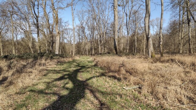
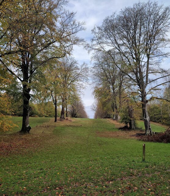
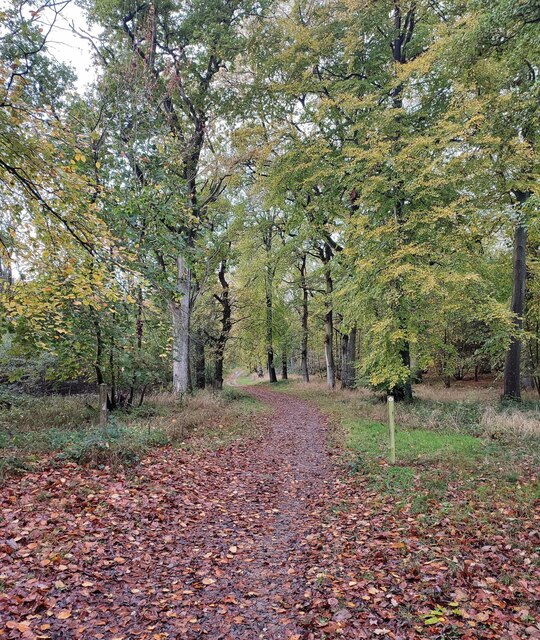
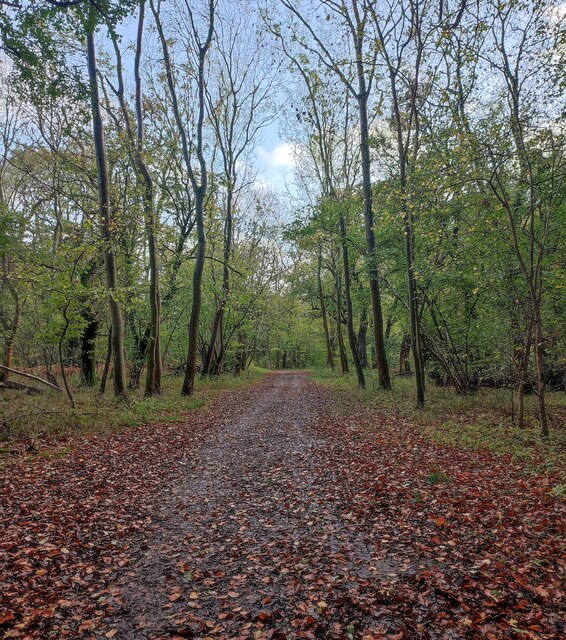
Churchill Copse is a picturesque woodland located in Oxfordshire, England. Covering an area of approximately 50 acres, this ancient forest is a haven of natural beauty and tranquility. Situated near the village of Churchill, the copse is easily accessible and attracts visitors from all around the county.

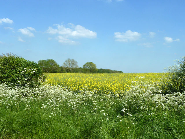
The woodland is predominantly made up of oak and beech trees, with their towering canopies creating a dense and shady environment. The forest floor is covered in a rich carpet of ferns, moss, and wildflowers, adding to the charm of the area. The copse is also home to a variety of wildlife, including deer, foxes, badgers, and a diverse range of bird species.

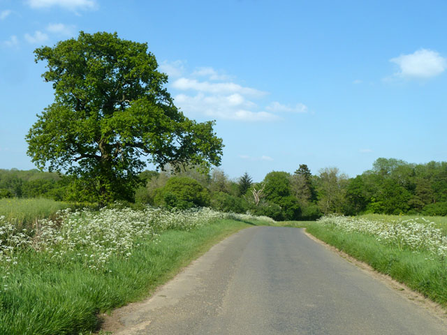
Visitors to Churchill Copse can enjoy a network of well-maintained walking trails, allowing them to explore the woodland at their own pace. The paths wind through the trees, providing glimpses of sunlight filtering through the foliage and creating a magical atmosphere. The copse is particularly popular during the spring when bluebells cover the forest floor, creating a breathtaking display of vibrant colors.

In addition to its natural beauty, Churchill Copse also has historical significance. It is believed that the woodland has been in existence for centuries, serving as a source of timber for local communities. Today, the area is protected and managed by the local authorities to ensure its preservation for future generations to enjoy.

Overall, Churchill Copse is a hidden gem in Oxfordshire, offering visitors a chance to escape the hustle and bustle of everyday life and immerse themselves in the captivating beauty of nature.

If you have any feedback on the listing, please let us know in the comments section below.

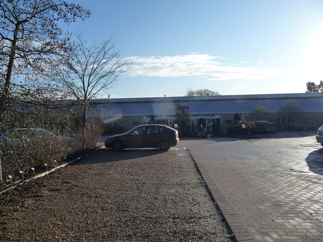
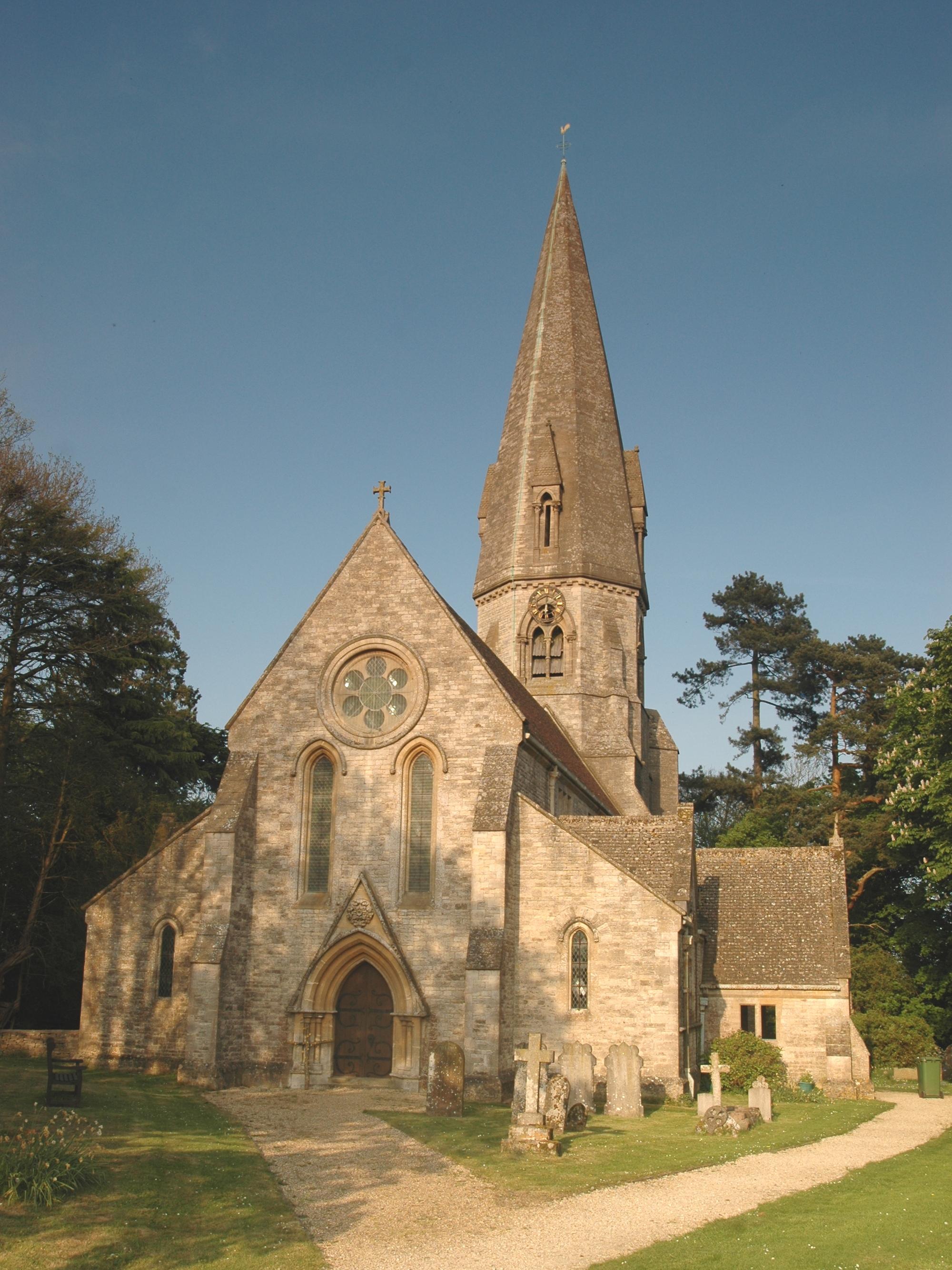
Churchill Copse Images

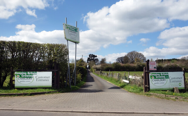
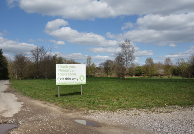
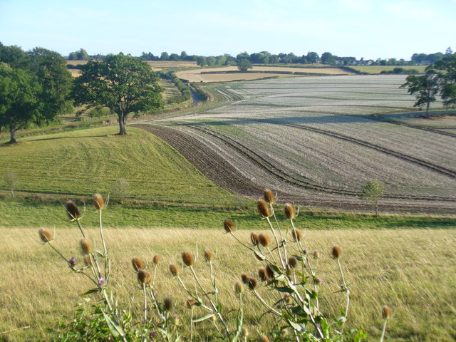
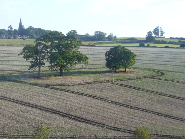
Images are sourced within 2km of 51.849127/-1.5167274 or Grid Reference SP3316. Thanks to Geograph Open Source API. All images are credited.

Wychwood Forest Track into Wychwood Forest
Wychwood Forest
Track into Wychwood Forest
Tower Light, Wychwood Forest This ride in Wychwood Forest is called Tower Light.
Tower Light, Wychwood Forest
This ride in Wychwood Forest is called Tower Light.
Footpath through Wychwood Forest
Way into the Garden Centre The entrance to Charlbury Garden Centre. 
In a bit of a rural coffee desert there's a nice cafe here with capuccino and cake.
They also do plants and compost and stuff.
Recommended.
Way into the Garden Centre
The entrance to Charlbury Garden Centre. In a bit of a rural coffee desert there's a nice cafe here with capuccino and cake. They also do plants and compost and stuff. Recommended.
Way out of the Garden Centre There's a one way system around Charlbury Garden Centre, probably because the entrance road is so narrow.
It's a lot longer to get out than to get in.
Way out of the Garden Centre
There's a one way system around Charlbury Garden Centre, probably because the entrance road is so narrow. It's a lot longer to get out than to get in.
The Pearl Chinese restaurant On the eastern edge of Leafield. This was once called the Spindleberry, and has had other names, although these escape me at the moment.
The Pearl Chinese restaurant
On the eastern edge of Leafield. This was once called the Spindleberry, and has had other names, although these escape me at the moment.
Fiveash Bottom Evening sunshine on the fields near Leafield, at the edge of Wychwood Forest.
Fiveash Bottom
Evening sunshine on the fields near Leafield, at the edge of Wychwood Forest.
Fiveash Bottom from Hatchings Lane Summer evening near Leafield. The field on the hillside shows clear tractor wheel marks.
<span class="nowrap"><a title="http://www.leafieldvillage.co.uk/" rel="nofollow ugc noopener" href="http://www.leafieldvillage.co.uk/">Link</a><img style="margin-left:2px;" alt="External link" title="External link - shift click to open in new window" src="https://s1.geograph.org.uk/img/external.png" width="10" height="10"/></span>
Fiveash Bottom from Hatchings Lane
Summer evening near Leafield. The field on the hillside shows clear tractor wheel marks. LinkExternal link
Part of the car park and entrance at Hilltop Garden Centre Early morning on a December day and the car park is already filling up with pre-Christmas visitors and customers.
Part of the car park and entrance at Hilltop Garden Centre
Early morning on a December day and the car park is already filling up with pre-Christmas visitors and customers.
Field of oil-seed rape East of Hatching Lane.
Field of oil-seed rape
East of Hatching Lane.
Trees, Fiveash Bottom The western extremity of Wychwood Forest is beyond.
Trees, Fiveash Bottom
The western extremity of Wychwood Forest is beyond.
Wychwood Forest Cockshoothill Copse to the left.
Wychwood Forest
Cockshoothill Copse to the left.
Open area, Wychwood Forest Cultivated fields between areas of woodland.
Open area, Wychwood Forest
Cultivated fields between areas of woodland.
Northern part of Wychwood Forest The near field, and possibly the woodland, is part of the Cornbury Park estate.
Northern part of Wychwood Forest
The near field, and possibly the woodland, is part of the Cornbury Park estate.
Hilltop garden Centre, 1 Situated on a wooded hill away from the B4022 Witney to Charlbury Road.
This is the understated entrance.
Hilltop garden Centre, 1
Situated on a wooded hill away from the B4022 Witney to Charlbury Road. This is the understated entrance.
Hilltop garden Centre, 2 Looking across the car park to the edge of the Wychwood Forest.
Hilltop garden Centre, 2
Looking across the car park to the edge of the Wychwood Forest.
Hilltop garden Centre, 3 The large extensive plant area.
Hilltop garden Centre, 3
The large extensive plant area.
Show me another place!

Churchill Copse is located at Grid Ref: SP3316 (Lat: 51.849127, Lng: -1.5167274)

Administrative County: Oxfordshire

District: West Oxfordshire

Police Authority: Thames Valley

What 3 Words

///dairy.canny.passively. Near Charlbury, Oxfordshire

Related Wikis

Wychwood

Wychwood or Wychwood Forest is a 501.7-hectare (1,240-acre) biological Site of Special Scientific Interest north of Witney in Oxfordshire. It is also a...

Leafield

Leafield is a village and civil parish about 4 miles (6.4 km) northwest of Witney in West Oxfordshire, England. The parish includes the hamlet of Langley...

Leafield Castle

Leafield Castle (also known as Leafield Barrow) is a motte castle in the village of Leafield in the north west region of Oxfordshire. All that is left...

Cornbury Park

Cornbury Park is an estate near Charlbury, Oxfordshire. It comprises about 5,000 acres (2,000 ha), mostly farmland and woods, including a remnant of the...

Nearby Amenities

Located within 500m of 51.849127,-1.5167274
Evenden Bottom
Place: locality
Lat/Long: 51.8510091/-1.5135307
Withy Bottom
Place: locality
Lat/Long: 51.8467492/-1.5174467
Cyder Well
Natural: spring
Lat/Long: 51.8521701/-1.5142104
Natural: spring
Lat/Long: 51.849755/-1.5102939
Natural: spring
Lat/Long: 51.8496307/-1.5104504
Natural: spring
Lat/Long: 51.8495754/-1.5105203
Wort's Well
Natural: spring
Lat/Long: 51.8474294/-1.5168424
The data included in this document is from www.openstreetmap.org. The data is made available under ODbL.

Have you been to Churchill Copse?

Leave your review of Churchill Copse below (or comments, questions and feedback).