Mill Loch

Lake, Pool, Pond, Freshwater Marsh in Shetland

Scotland

Mill Loch

Access road to Burki Waters
Access road to Burki Waters Credit: Oliver Dixon

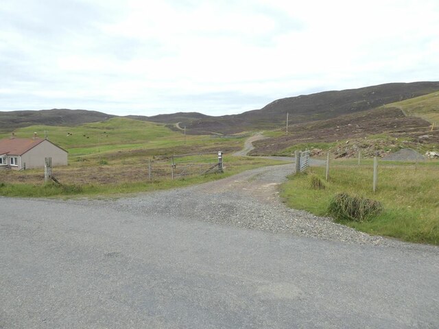
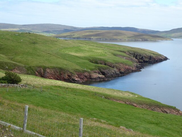
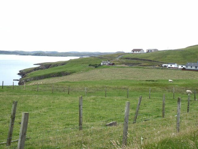
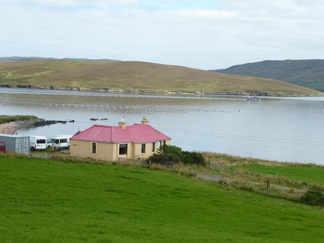
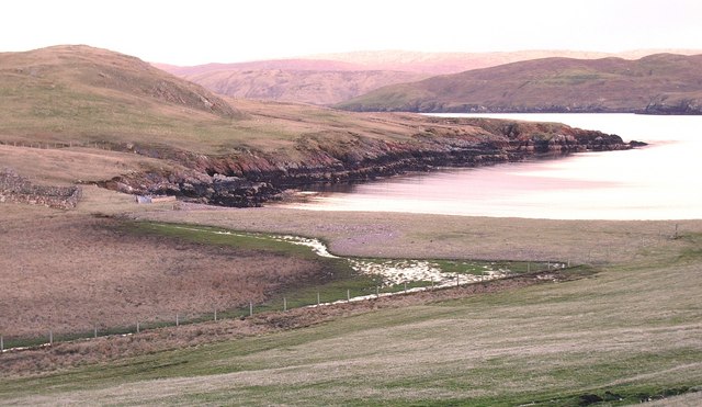
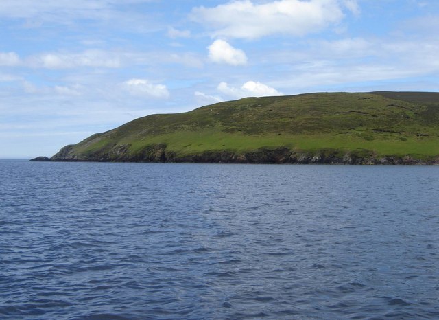
Mill Loch, located in the picturesque islands of Shetland, is a charming freshwater loch nestled amidst the rolling hills and heather-covered moorlands. Spanning an area of approximately 30 acres, this tranquil water body is a haven for nature enthusiasts and those seeking solace in the midst of untouched beauty.

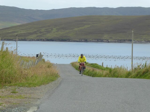
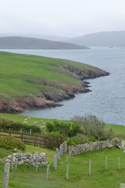
Surrounded by lush greenery, Mill Loch is a mesotrophic lake that boasts crystal-clear waters, making it a popular spot for fishing, canoeing, and birdwatching. The loch is known for its diverse aquatic life, hosting a variety of fish species such as brown trout, pike, and perch. Anglers flock to its shores to test their skills and try their luck in catching the prized trout that thrive in these pristine waters.

Besides its recreational value, Mill Loch is also a vital habitat for numerous bird species. The surrounding marshes and reed beds provide a breeding ground and sanctuary for various waterfowl, including tufted ducks, mallards, and teal. During the spring and autumn migration seasons, the loch becomes a temporary home for a multitude of wading birds, adding to the already rich avian population.

The loch's shoreline is fringed with a mix of native trees, including birch, willow, and alder, creating a scenic backdrop against the shimmering waters. The surrounding vegetation also supports a diverse array of plant life, with rushes, sedges, and water lilies dotting the marshy areas.

Whether one seeks a peaceful retreat amidst nature's serenity or wishes to explore the abundant wildlife, Mill Loch in Shetland offers an idyllic setting for visitors to immerse themselves in the beauty and tranquility of this freshwater gem.

If you have any feedback on the listing, please let us know in the comments section below.

Mill Loch Images

Images are sourced within 2km of 60.33797/-1.3871516 or Grid Reference HU3361. Thanks to Geograph Open Source API. All images are credited.

Access road to Burki Waters
View across Boat Geo The island of Linga <a href="https://www.geograph.org.uk/gridref/HU3563">HU3563</a> in the middle distance.
View across Boat Geo
The island of Linga HU3563 in the middle distance.
Littleburn Scattering of houses on the south shore of Muckle Roe.
Littleburn
Scattering of houses on the south shore of Muckle Roe.
Hill climb at Knowe Mussel farm in the sea. The island of Linga <a href="https://www.geograph.org.uk/gridref/HU3563">HU3563</a> beyond.
Hill climb at Knowe
Mussel farm in the sea. The island of Linga HU3563 beyond.
Ayredale on Muckle Roe Mussel farm in the sea. The island of Linga <a href="https://www.geograph.org.uk/gridref/HU3563">HU3563</a> beyond.
Ayredale on Muckle Roe
Mussel farm in the sea. The island of Linga HU3563 beyond.
Ness of Gillarona, Shetland This is where the public road stops at the south end of Muckle Roe. Photo, in evening light, taken looking southeast with the island of Papa Little in mid distance
Ness of Gillarona, Shetland
This is where the public road stops at the south end of Muckle Roe. Photo, in evening light, taken looking southeast with the island of Papa Little in mid distance
The tip of Moo Ness, Papa Little The island of Muckle Roe can be seen in the background
The tip of Moo Ness, Papa Little
The island of Muckle Roe can be seen in the background
Western edge of Rit Ness, Papa Little Papa Little is one of Shetland's numerous uninhabited islands.
Western edge of Rit Ness, Papa Little
Papa Little is one of Shetland's numerous uninhabited islands.
Un-named corner, near Hamna-Ayre, Papa Little Most of Shetland's coastline features have been given detailed names, for example the south and west of nearby Muckle Roe,  but that of Papa Little has very few named landmarks.
Un-named corner, near Hamna-Ayre, Papa Little
Most of Shetland's coastline features have been given detailed names, for example the south and west of nearby Muckle Roe, but that of Papa Little has very few named landmarks.
Ruined crofthouse at Moon, South Voxter
Muckle Roe: bay at Little-ayre A misty view of this small bay near the end of the public road on the island.
Muckle Roe: bay at Little-ayre
A misty view of this small bay near the end of the public road on the island.
Selie Ness from the sea
Green Banks, Papa Little The aptly named southern end of the uninhabited island of Papa Little.
Green Banks, Papa Little
The aptly named southern end of the uninhabited island of Papa Little.
The coastline at Knowe, Muckle Roe Much of the island of Linga <a href="https://www.geograph.org.uk/gridref/HU3563">HU3563</a> can be seen beyond, almost central, with Shetland Mainland forming the backdrop.
The coastline at Knowe, Muckle Roe
Much of the island of Linga HU3563 can be seen beyond, almost central, with Shetland Mainland forming the backdrop.
Hillside and Little-ayre Taken from the end of the public road on the southeast side of Muckle Roe, there is parking for walkers just in the dip between the photographer and the houses. The road runs for only about 4 km before connecting to Mainland by a bridge, and for another kilometre or two along the north coast - the rest of Muckle Roe is relatively wild away from the farmed land which occupies about a third of its area, on the east side, sheltered somewhat from the worst excesses of Atlantic Gales.
Hillside and Little-ayre
Taken from the end of the public road on the southeast side of Muckle Roe, there is parking for walkers just in the dip between the photographer and the houses. The road runs for only about 4 km before connecting to Mainland by a bridge, and for another kilometre or two along the north coast - the rest of Muckle Roe is relatively wild away from the farmed land which occupies about a third of its area, on the east side, sheltered somewhat from the worst excesses of Atlantic Gales.
Springwal, Muckle Roe with Linga in the distance
Cattle at Gillarona While a yacht sails past Ness of Gillarona.
Cattle at Gillarona
While a yacht sails past Ness of Gillarona.
Littleburn Geo Beyond the sheltered garden and sheep at Littleburn.
Littleburn Geo
Beyond the sheltered garden and sheep at Littleburn.
Show me another place!

Mill Loch is located at Grid Ref: HU3361 (Lat: 60.33797, Lng: -1.3871516)

Unitary Authority: Shetland Islands

Police Authority: Highlands and Islands

What 3 Words

///crouch.dockers.cabbage. Near Aith, Shetland Islands

Related Wikis

Papa Little

Papa Little (Scots: Papa Little; Old Norse: Papey Litla, meaning "the little island of the priests") is an island in St Magnus Bay, Shetland, Scotland...

Linga, Busta Voe

Linga is a small, uninhabited island, 1 km (0.62 mi) east of Muckle Roe in the Shetland Islands. The island is roughly circular in shape and its highest...

Shetland

Shetland, also called the Shetland Islands and formerly Zetland, is an archipelago in Scotland lying between Orkney, the Faroe Islands, and Norway. It...

Braewick, Sandsting

Braewick is a settlement on the west Mainland of Shetland, Scotland. Braewick is on the western shore of Aith Voe and 1.2 mi (2 km) north of Aith itself...

Muckle Roe

Muckle Roe is an island in Shetland, Scotland, in St. Magnus Bay, to the west of Mainland. It has a population of around 130 people, who mainly croft and...

Vementry

Vementry (Old Norse: "Vemunðarey") is an uninhabited Scottish island in Shetland on the north side of the West Mainland, lying south of Muckle Roe. �...

Linga (near Vementry)

Linga is one of the Shetland Islands, near Vementry. It is one of many islands in Shetland called Linga. The island is uninhabited. == Geography and... ==

Clousta

Clousta is a hamlet on Mainaland, in the island's west, Shetland, Scotland. Approximately seventy people live here, many of whom are commuters, but local...

Nearby Amenities

Located within 500m of 60.33797,-1.3871516
North Ward
Corbett: no
Ele: 82
Graham: no
Marilyn: no
Munro: no
Natural: peak
Lat/Long: 60.3353429/-1.386442
The data included in this document is from www.openstreetmap.org. The data is made available under ODbL.

Have you been to Mill Loch?

Leave your review of Mill Loch below (or comments, questions and feedback).