Ashford Lake
Lake, Pool, Pond, Freshwater Marsh in Derbyshire Derbyshire Dales
England
Ashford Lake
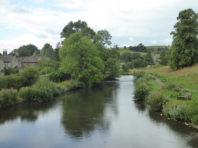
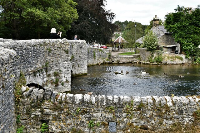
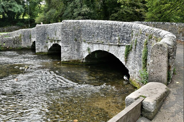
Ashford Lake is a picturesque freshwater body located in the beautiful county of Derbyshire, England. Nestled amidst rolling hills and verdant landscapes, this serene lake is a popular attraction for both locals and tourists seeking a peaceful retreat in nature.
Spanning an area of approximately 10 acres, Ashford Lake boasts crystal-clear waters that reflect the stunning surrounding scenery. It is classified as a lake, although its size and tranquil ambiance often give it the appearance of a large pond or pool. The lake is fed by several small streams and natural springs, ensuring a constant flow of freshwater.
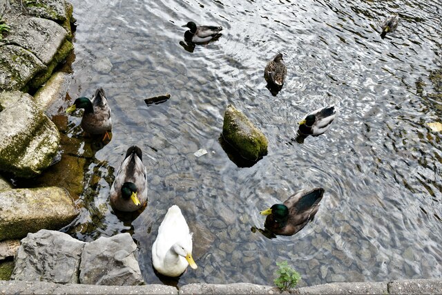
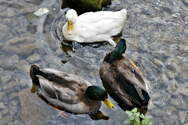
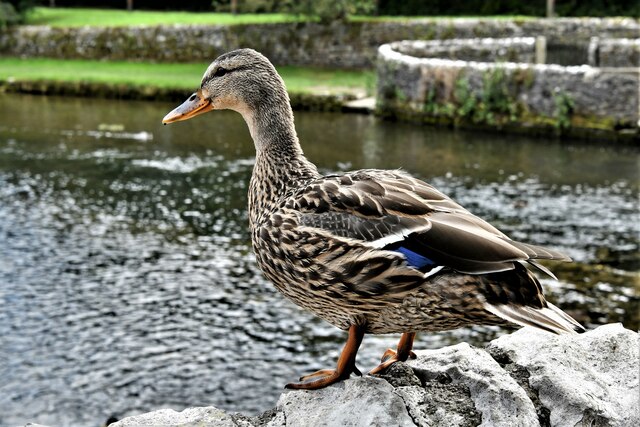
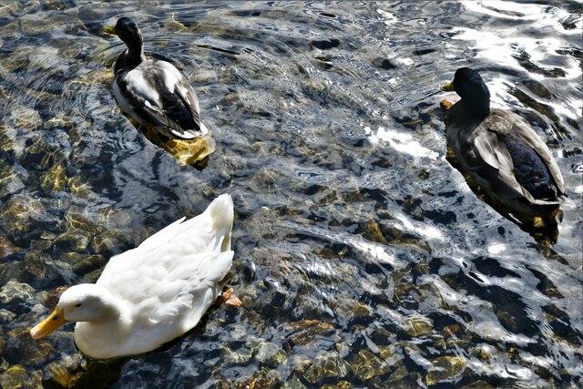
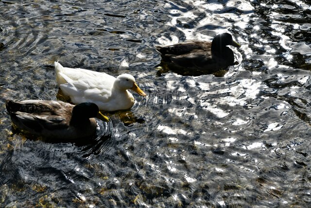
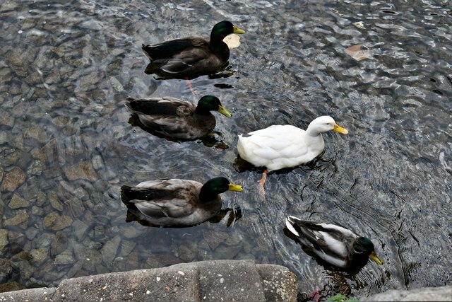
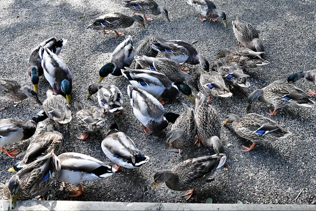
Surrounded by lush vegetation, including reeds, rushes, and water lilies, Ashford Lake is not only a visual delight but also serves as a vital habitat for various species of wildlife. The lake and its surrounding areas are home to a diverse range of aquatic plants, fish, birds, and amphibians. Visitors can often spot ducks, swans, and other waterfowl gracefully gliding across the water's surface.
The lake also features a freshwater marsh on its shores, characterized by its wet and marshy terrain. This marshland provides a unique ecosystem for numerous species of plants and animals, creating a haven for biodiversity.
Ashford Lake offers visitors the opportunity to engage in a range of recreational activities. Fishing enthusiasts can cast their lines into the lake in search of species such as perch, roach, and carp. The tranquil setting is also perfect for leisurely walks, picnics, and birdwatching, allowing visitors to immerse themselves in the natural beauty of Derbyshire.
If you have any feedback on the listing, please let us know in the comments section below.
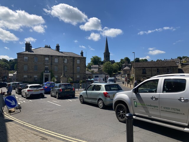
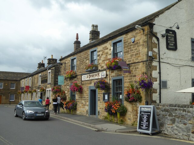
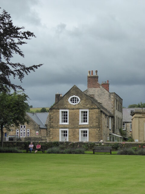
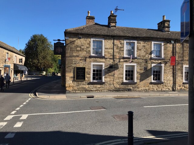
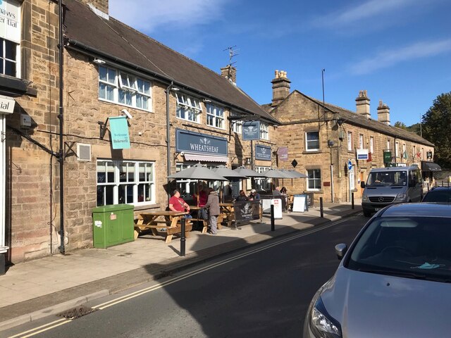
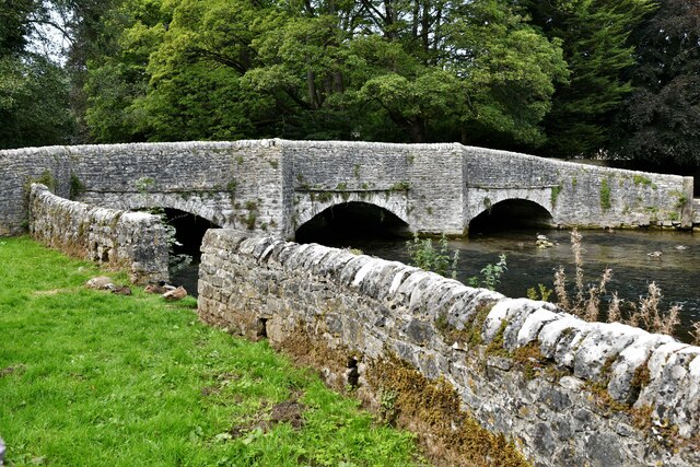
Ashford Lake Images
Images are sourced within 2km of 53.222814/-1.6979661 or Grid Reference SK2069. Thanks to Geograph Open Source API. All images are credited.

Ashford Lake is located at Grid Ref: SK2069 (Lat: 53.222814, Lng: -1.6979661)
Administrative County: Derbyshire
District: Derbyshire Dales
Police Authority: Derbyshire
What 3 Words
///appear.diet.tarnished. Near Bakewell, Derbyshire
Nearby Locations
Related Wikis
Ashford-in-the-Water
Ashford-in-the-Water is a village and civil parish in the Derbyshire Peak District, England. The village is on the River Wye, 2 miles (3 km) north-west...

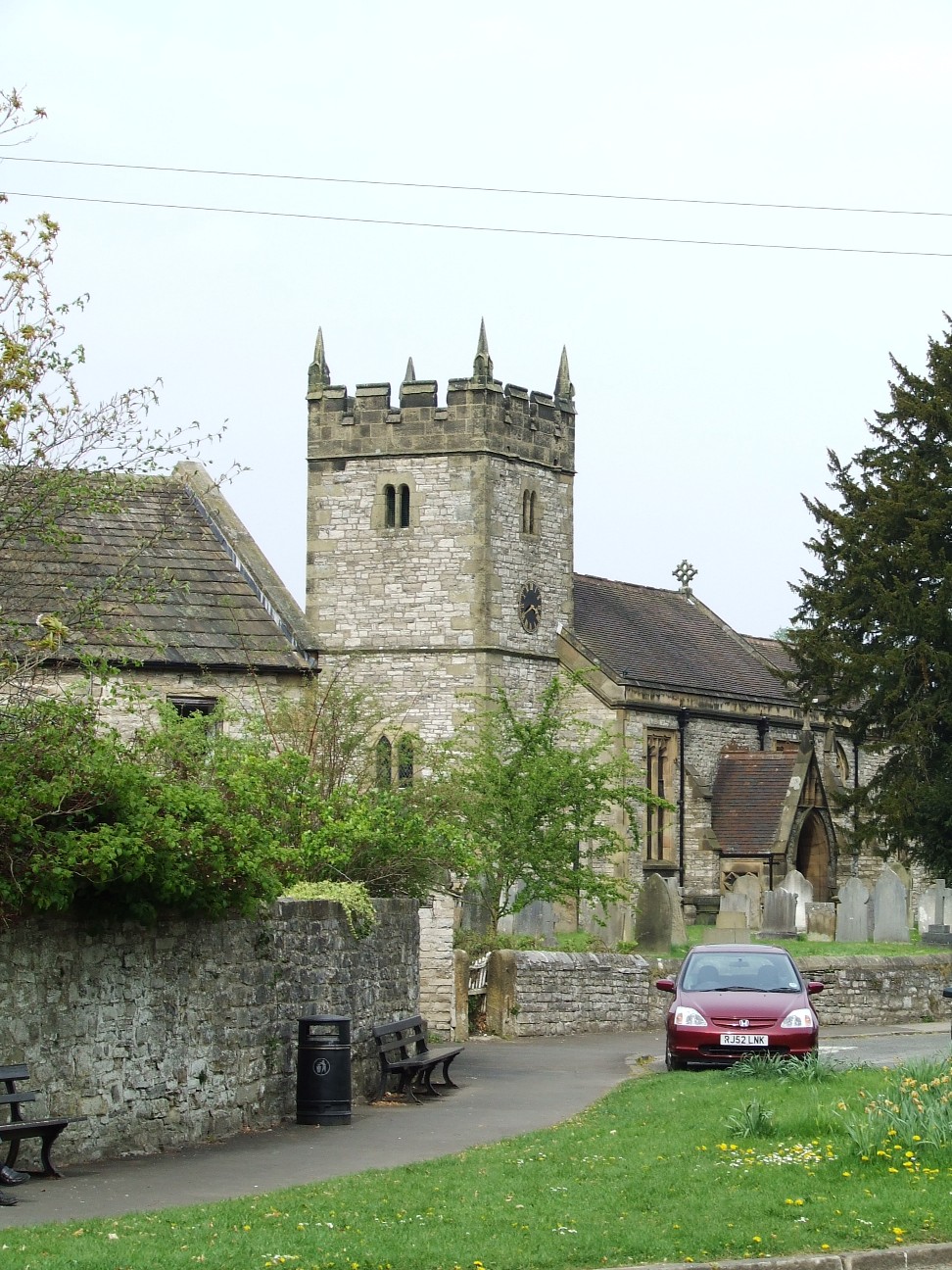
Holy Trinity Church, Ashford-in-the-Water
Holy Trinity Church, Ashford-in-the-Water is a Grade II listed parish church in the Church of England: 66 in Ashford-in-the-Water, Derbyshire. == History... ==

Ashford Black Marble
Ashford Black Marble is the name given to a dark limestone, quarried from mines near Ashford-in-the-Water, in Derbyshire, England. Once cut, turned and...

Lumford Mill
Lumford Mill was a historic cotton mill at Bakewell in Derbyshire, England. In 1777, Richard Arkwright leased a stretch of land by the River Wye from Philip...

St Anselm's School, Bakewell
S. Anselm's Preparatory School is a private school located in Bakewell, Derbyshire, in the heart of the Peak District. Founded in 1888. Winner of the Tatler...

Holme Hall, Bakewell
Holme Hall near Bakewell, Derbyshire, is a privately owned 17th-century country house. It is a Grade I listed building. == History == The house was built...
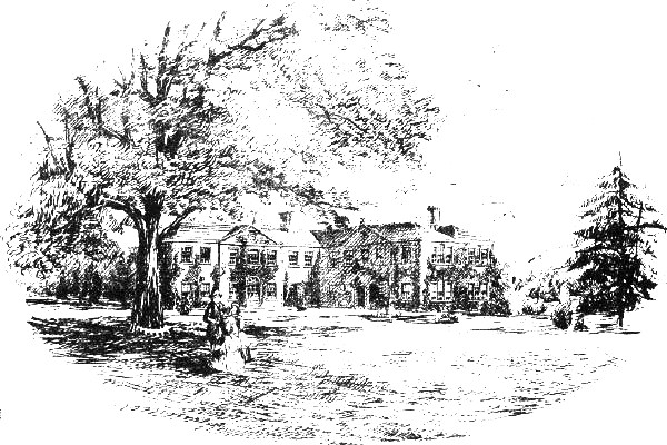
Thornbridge Hall
Thornbridge Hall (originally Thornbridge House) is a large English country house situated near the village of Great Longstone in the local government district...

Old House Museum, Bakewell
The Old House Museum in the town of Bakewell in Derbyshire is a typical 16th century yeoman's house that now houses a small museum with an exhibition of...
Nearby Amenities
Located within 500m of 53.222814,-1.6979661Have you been to Ashford Lake?
Leave your review of Ashford Lake below (or comments, questions and feedback).