Gay Pastures

Downs, Moorland in Derbyshire Derbyshire Dales

England

Gay Pastures

Rutland Square, Bakewell The war memorial and Rutland Arms Hotel is seen in Rutland Square. A very successful 19th century coaching inn, the hotel building was constructed in 1804. The Grade I listed All Saints’ Church is seen in the background, parts of which date from the 12th century, although most of the structure was completely rebuilt in the mid-19th century.
Rutland Square, Bakewell Credit: Daniel Parks

Gay Pastures is a picturesque area located in Derbyshire, England, known for its stunning natural beauty and diverse landscape. Situated amidst the tranquil countryside, it offers a unique combination of downs and moorland, attracting nature enthusiasts and hikers alike.

The downs of Gay Pastures feature rolling hills and expansive meadows, providing breathtaking panoramic views of the surrounding countryside. The lush greenery and vibrant wildflowers make it an ideal spot for picnics and leisurely walks, offering a peaceful escape from the hustle and bustle of city life. Its gentle slopes also make it a popular destination for paragliding and kite flying enthusiasts, who can take advantage of the open expanse.

The moorland in Gay Pastures boasts a rugged and wild terrain, characterized by heather-covered hills, rocky outcrops, and boggy areas. This unique environment supports a diverse range of flora and fauna, including rare bird species and various types of mosses and lichens. The moorland is a haven for wildlife, making it a popular destination for birdwatching and nature photography.

Gay Pastures is also home to several well-marked hiking trails, catering to all levels of fitness and ability. These trails meander through the downs and moorland, offering visitors the opportunity to explore the area's stunning landscapes while enjoying the fresh air and tranquility.

Overall, Gay Pastures in Derbyshire is a must-visit location for those seeking a peaceful retreat in the midst of nature's beauty. With its combination of downs and moorland, it offers a diverse range of outdoor activities and breathtaking scenery, ensuring a memorable experience for all who visit.

If you have any feedback on the listing, please let us know in the comments section below.
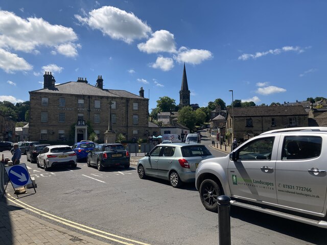
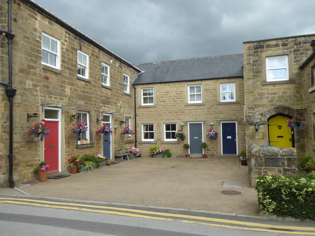
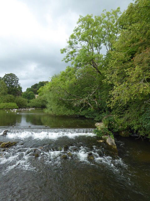
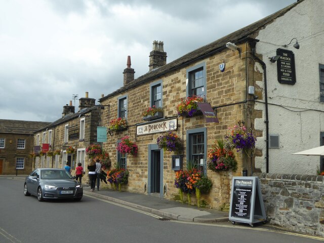
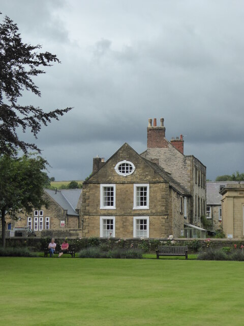
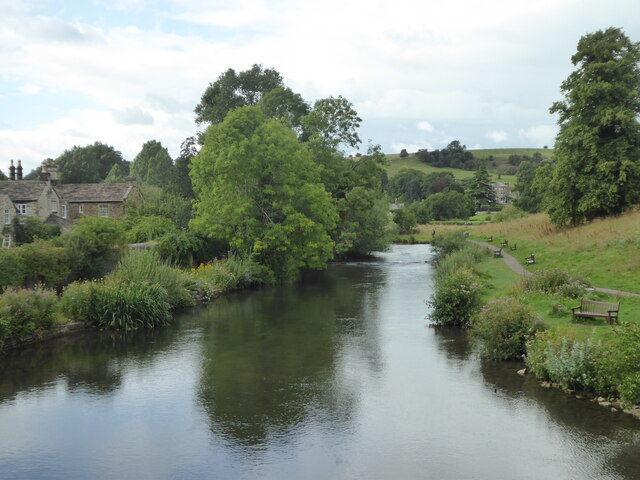
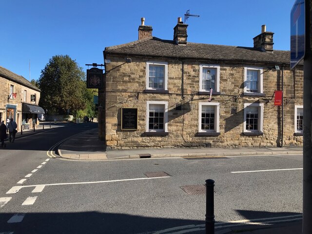
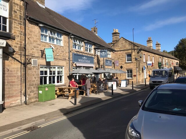
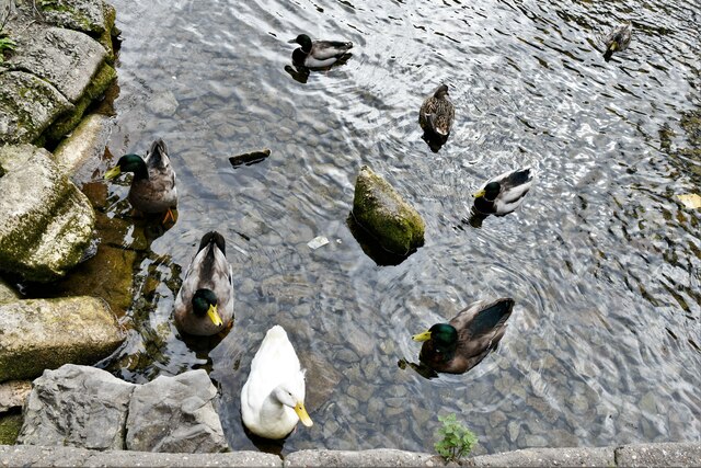
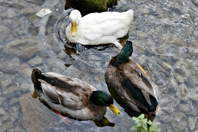
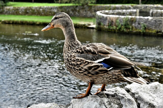
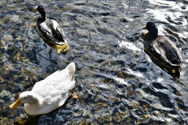
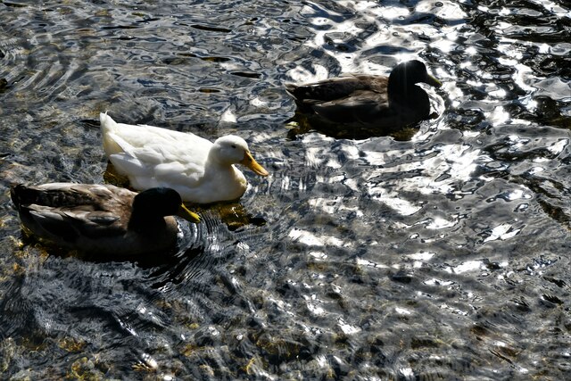
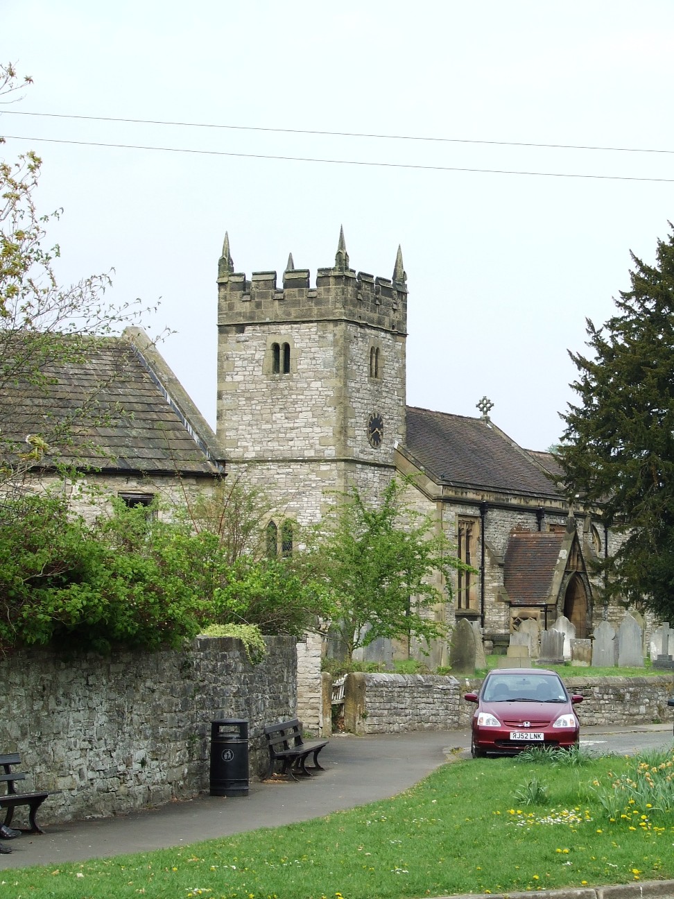
Gay Pastures Images

Images are sourced within 2km of 53.220626/-1.693114 or Grid Reference SK2069. Thanks to Geograph Open Source API. All images are credited.

Rutland Square, Bakewell The war memorial and Rutland Arms Hotel is seen in Rutland Square. A very successful 19th century coaching inn, the hotel building was constructed in 1804. The Grade I listed All Saints’ Church is seen in the background, parts of which date from the 12th century, although most of the structure was completely rebuilt in the mid-19th century.
Rutland Square, Bakewell
The war memorial and Rutland Arms Hotel is seen in Rutland Square. A very successful 19th century coaching inn, the hotel building was constructed in 1804. The Grade I listed All Saints’ Church is seen in the background, parts of which date from the 12th century, although most of the structure was completely rebuilt in the mid-19th century.
Houses in Rutland Mews Bakewell An attractive blend of old houses and a new building linking them together.
Houses in Rutland Mews Bakewell
An attractive blend of old houses and a new building linking them together.
Weir on the River Wye at Bakewell
The Peacock public house in Bakewell
House overlooking the bowling green in Bakewell
The River Wye upstream from the A619 in Bakewell
The sign of The Queens Arms See <a href="https://www.geograph.org.uk/photo/6984627">SK2168 : The Queens Arms</a>
The sign of The Queens Arms
The Queens Arms
The Queens Arms
The Wheatsheaf On Bridge Street, Bakewell.
The Wheatsheaf
On Bridge Street, Bakewell.
The sign of The Wheatsheaf See: <a href="https://www.geograph.org.uk/photo/6984633">SK2168 : The Wheatsheaf</a>.
The sign of The Wheatsheaf
Ashford in The Water's well-fed ducks 1: The Sheepwash Bridge, the ducks are all midstream
Ashford in The Water's well-fed ducks 2: By the Sheepwash Bridge, the ducks are all midstream
Ashford in The Water's well-fed ducks 3: Having crossed the Sheepwash Bridge, the ducks are still midstream
Ashford in The Water's well-fed ducks 4: Suddenly ducks are coming towards us from every direction
Ashford in The Water's well-fed ducks 5: They start paddling in a bizarre circular movement
Ashford in The Water's well-fed ducks 6: We wondered if she would join them
Ashford in The Water's well-fed ducks 7: The circle is broken
Ashford in The Water's well-fed ducks 8: They all (30 ducks) seem to be heading in the same direction
Show me another place!

Gay Pastures is located at Grid Ref: SK2069 (Lat: 53.220626, Lng: -1.693114)

Administrative County: Derbyshire

District: Derbyshire Dales

Police Authority: Derbyshire

What 3 Words

///towel.overjoyed.tweaked. Near Bakewell, Derbyshire

Related Wikis

Lumford Mill

Lumford Mill was a historic cotton mill at Bakewell in Derbyshire, England. In 1777, Richard Arkwright leased a stretch of land by the River Wye from Philip...

St Anselm's School, Bakewell

S. Anselm's Preparatory School is a private school located in Bakewell, Derbyshire, in the heart of the Peak District. Founded in 1888. Winner of the Tatler...

Holme Hall, Bakewell

Holme Hall near Bakewell, Derbyshire, is a privately owned 17th-century country house. It is a Grade I listed building. == History == The house was built...

Ashford-in-the-Water

Ashford-in-the-Water is a village and civil parish in the Derbyshire Peak District, England. The village is on the River Wye, 2 miles (3 km) north-west...

Ashford Black Marble

Ashford Black Marble is the name given to a dark limestone, quarried from mines near Ashford-in-the-Water, in Derbyshire, England. Once cut, turned and...

Holy Trinity Church, Ashford-in-the-Water

Holy Trinity Church, Ashford-in-the-Water is a Grade II listed parish church in the Church of England: 66  in Ashford-in-the-Water, Derbyshire. == History... ==

Old House Museum, Bakewell

The Old House Museum in the town of Bakewell in Derbyshire is a typical 16th century yeoman's house that now houses a small museum with an exhibition of...

Bagshaw Hall

Bagshaw Hall is a 17th-century grade II* listed country hall on Bagshaw Hill in Bakewell, Derbyshire. == History == The hall was constructed by Thomas...

Nearby Amenities

Located within 500m of 53.220626,-1.693114
Waterway: weir
Lat/Long: 53.2220947/-1.6911769
Barrier: cattle_grid
Lat/Long: 53.2184491/-1.6965959
Crossing
Crossing: unmarked
Crossing Island: no
Tactile Paving: no
Lat/Long: 53.2194036/-1.6892227
Post Box
Brand: Royal Mail
Brand Wikidata: Q638098
Brand Wikipedia: en:Royal Mail
Operator: Royal Mail
Operator Wikidata: Q638098
Post Box Type: wall
Ref: DE45 1276
Royal Cypher: EVIIR
Royal Cypher Wikidata: Q33102324
Lat/Long: 53.2188758/-1.6925446
Speed Camera
Lat/Long: 53.2182601/-1.6883481
Note: 40 mph sign eastbound, 50 mph sign NW-bound
Source: survey
Traffic Sign Backward: GB:670[40]
Traffic Sign Forward: GB:670[50]
Lat/Long: 53.2192169/-1.6950706
Barrier: stile
Material: stone
Source: survey;gps
Stile: stepover
Lat/Long: 53.2182551/-1.6881402
Barrier: stile
Source: survey;gps
Step Count: 2
Stile: stepover
Lat/Long: 53.2197196/-1.6895555
Barrier: stile
Material: wood
Source: survey;gps
Step Count: 2
Stile: stepover
Lat/Long: 53.2209284/-1.6913059
Recycling
Recycling Type: container
Lat/Long: 53.219921/-1.6998513
Waste Basket
Lat/Long: 53.2199178/-1.6998835
ALDI
Addr City: Bakewell
Addr Postcode: DE45 1GL
Addr Street: Buxton Road
Brand: ALDI
Brand Wikidata: Q41171672
Brand Wikipedia: en:Aldi
Contact Website: https://stores.aldi.co.uk/bakewell/ashford-road
Fhrs Id: 1626658
Opening Hours: Mo-Sa 08:00-22:00; Su 10:00-16:00
Shop: supermarket
Source: survey
Lat/Long: 53.2182069/-1.6869064
Bus Stop
Bakewell (Lakeside)
Bench: no
Bin: no
Bus: yes
Lit: yes
Naptan AtcoCode: 1000DBBR3382
Naptan NaptanCode: dbsjadgt
Public Transport: platform
Shelter: no
Tactile Paving: no
Lat/Long: 53.2188044/-1.6916676
Bakewell (Lakeside)
Bus: yes
Public Transport: stop_position
Lat/Long: 53.2188384/-1.6916464
Bus Stop
Bakewell (Lakeside)
Bench: no
Bin: no
Bus: yes
Lit: yes
Naptan AtcoCode: 1000DBBR3381
Naptan NaptanCode: dbsjadgp
Public Transport: platform
Shelter: no
Tactile Paving: no
Lat/Long: 53.2185887/-1.6890459
Bakewell (Lakeside)
Bus: yes
Public Transport: stop_position
Lat/Long: 53.2185417/-1.689083
Generator Method: photovoltaic
Generator Output Electricity: yes
Generator Source: solar
Generator Type: solar_photovoltaic_panel
Location: roof
Power: generator
Lat/Long: 53.2180603/-1.6929055
Generator Method: photovoltaic
Generator Output Electricity: yes
Generator Source: solar
Generator Type: solar_photovoltaic_panel
Location: roof
Power: generator
Lat/Long: 53.2189989/-1.6913246
Generator Method: photovoltaic
Generator Output Electricity: yes
Generator Source: solar
Generator Type: solar_photovoltaic_panel
Location: roof
Power: generator
Lat/Long: 53.2190656/-1.6912776
Fitism
Leisure: fitness_centre
Lat/Long: 53.2193204/-1.6861936
The data included in this document is from www.openstreetmap.org. The data is made available under ODbL.

Have you been to Gay Pastures?

Leave your review of Gay Pastures below (or comments, questions and feedback).