Park Plantation
Wood, Forest in Derbyshire Derbyshire Dales
England
Park Plantation
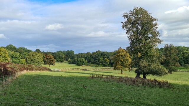
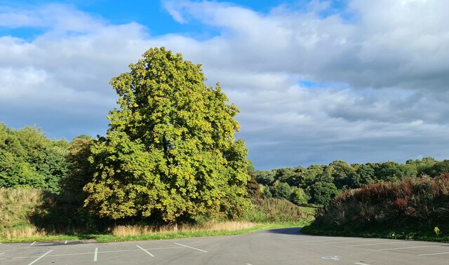
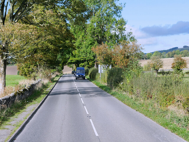
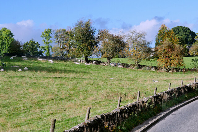
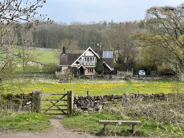
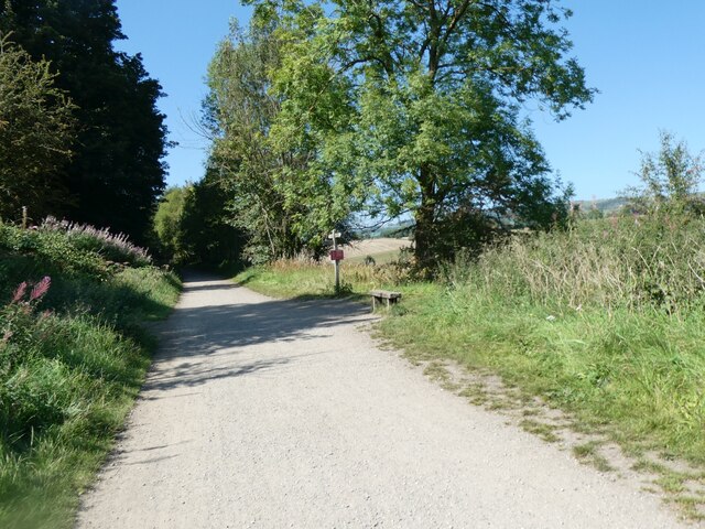
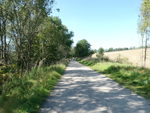
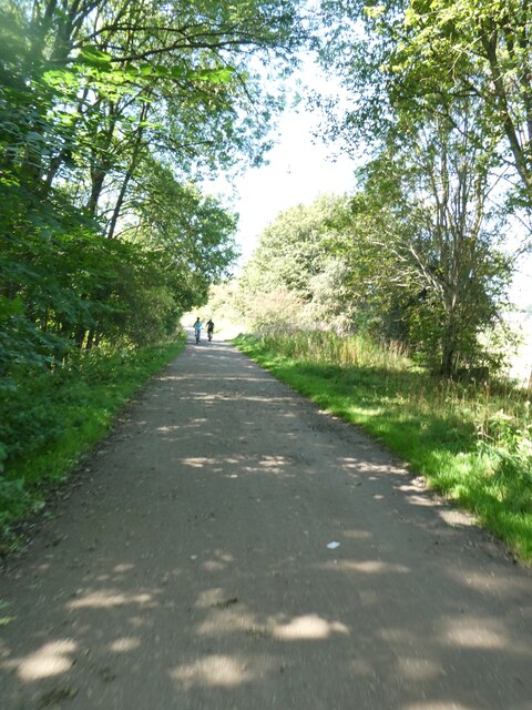
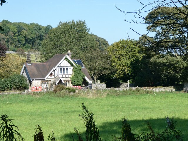
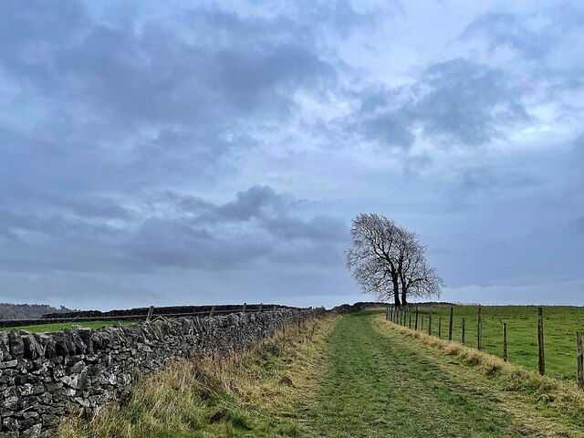
Park Plantation is a woodland area located in Derbyshire, England. Spread across a vast expanse, it is a popular destination for nature enthusiasts and outdoor enthusiasts alike. The plantation is known for its diverse range of tree species, including oak, beech, and birch, providing a lush and picturesque environment.
The woodland is home to a variety of wildlife, making it an ideal spot for birdwatching and wildlife spotting. Visitors can expect to see species such as woodpeckers, owls, and squirrels, among others. The plantation also boasts a network of walking trails, allowing visitors to explore the area and immerse themselves in its natural beauty.
Additionally, Park Plantation offers recreational activities for all ages. There are designated picnic spots where families and friends can enjoy a leisurely meal surrounded by the tranquil setting. The plantation also has a children's play area, providing entertainment for younger visitors.
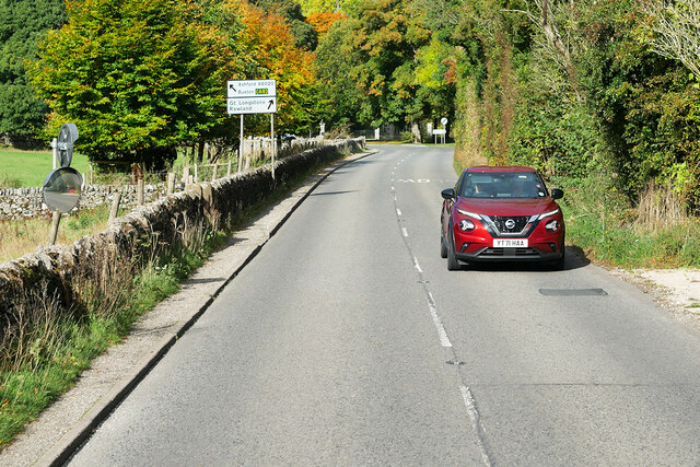
The plantation is well-maintained, with clear signage and well-marked paths to ensure ease of navigation. It is open to the public year-round and is free to enter, making it an accessible destination for all. However, visitors are encouraged to follow the guidelines provided to preserve the natural habitat and respect the wildlife.
Overall, Park Plantation in Derbyshire offers a serene and idyllic escape from the bustling city life. With its diverse flora and fauna, walking trails, picnic spots, and play area, it caters to a wide range of interests, making it a perfect destination for nature lovers and families alike.
If you have any feedback on the listing, please let us know in the comments section below.
Park Plantation Images
Images are sourced within 2km of 53.224384/-1.6933118 or Grid Reference SK2069. Thanks to Geograph Open Source API. All images are credited.
Park Plantation is located at Grid Ref: SK2069 (Lat: 53.224384, Lng: -1.6933118)
Administrative County: Derbyshire
District: Derbyshire Dales
Police Authority: Derbyshire
What 3 Words
///advantage.spoils.backward. Near Bakewell, Derbyshire
Nearby Locations
Related Wikis

Lumford Mill
Lumford Mill was a historic cotton mill at Bakewell in Derbyshire, England. In 1777, Richard Arkwright leased a stretch of land by the River Wye from Philip...
Ashford-in-the-Water
Ashford-in-the-Water is a village and civil parish in the Derbyshire Peak District, England. The village is on the River Wye, 2 miles (3 km) north-west...

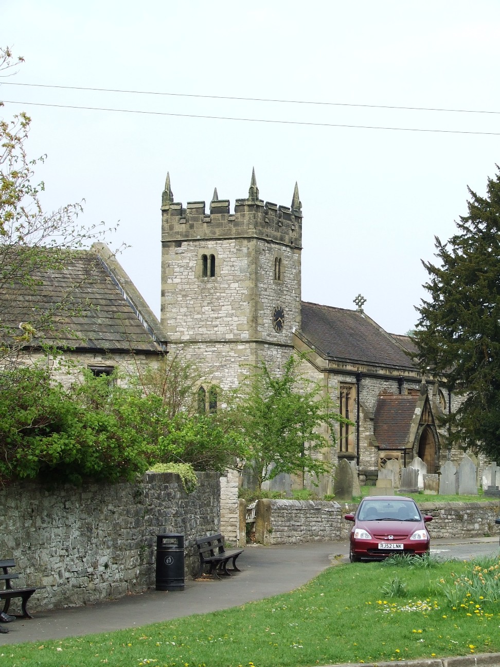
Holy Trinity Church, Ashford-in-the-Water
Holy Trinity Church, Ashford-in-the-Water is a Grade II listed parish church in the Church of England: 66 in Ashford-in-the-Water, Derbyshire. == History... ==

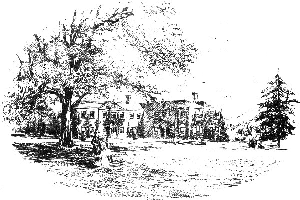
Holme Hall, Bakewell
Holme Hall near Bakewell, Derbyshire, is a privately owned 17th-century country house. It is a Grade I listed building. == History == The house was built...

Ashford Black Marble
Ashford Black Marble is the name given to a dark limestone, quarried from mines near Ashford-in-the-Water, in Derbyshire, England. Once cut, turned and...

St Anselm's School, Bakewell
S. Anselm's Preparatory School is a private school located in Bakewell, Derbyshire, in the heart of the Peak District. Founded in 1888. Winner of the Tatler...

Hassop railway station
Hassop railway station was a station situated about two miles from the village of Hassop in the Peak District of Derbyshire. It was opened in 1862 by the...
Thornbridge Hall
Thornbridge Hall (originally Thornbridge House) is a large English country house situated near the village of Great Longstone in the local government district...
Nearby Amenities
Located within 500m of 53.224384,-1.6933118Have you been to Park Plantation?
Leave your review of Park Plantation below (or comments, questions and feedback).