Ridley Plain
Downs, Moorland in Hampshire New Forest
England
Ridley Plain
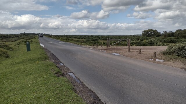
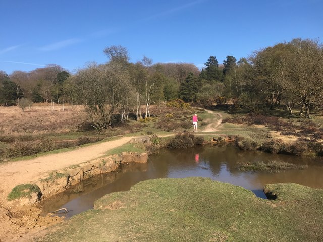
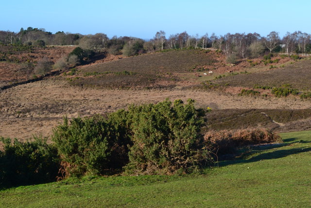
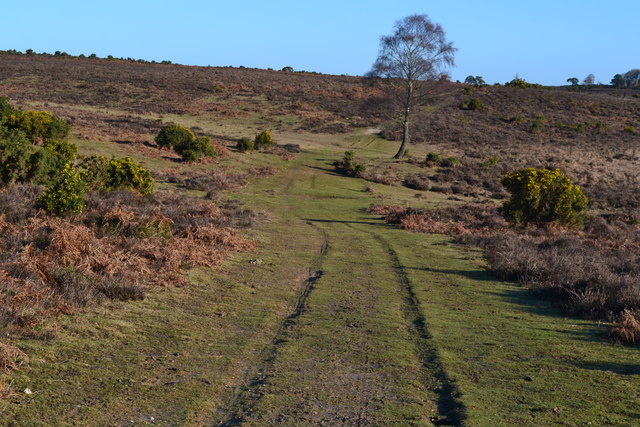
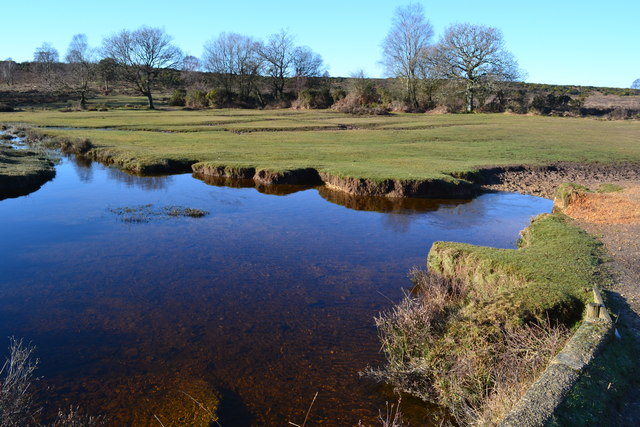
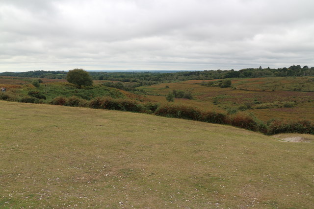
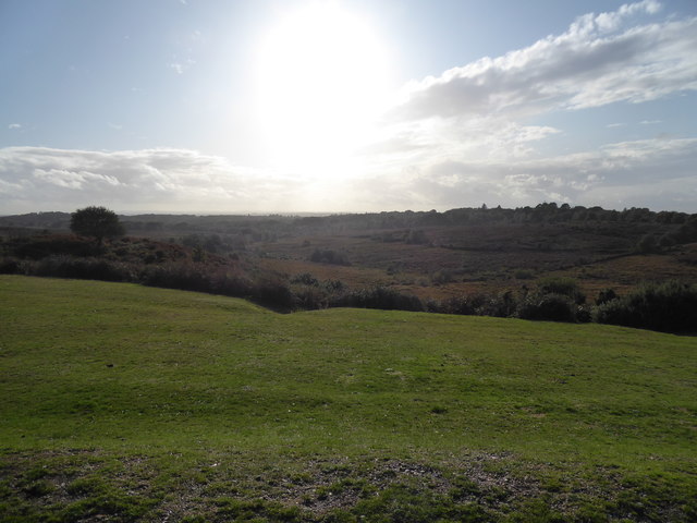
Ridley Plain is a picturesque area located in Hampshire, England. It is characterized by its vast expanse of downs and moorland, making it a popular destination for nature enthusiasts and outdoor adventurers.
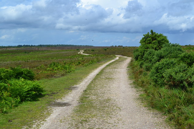
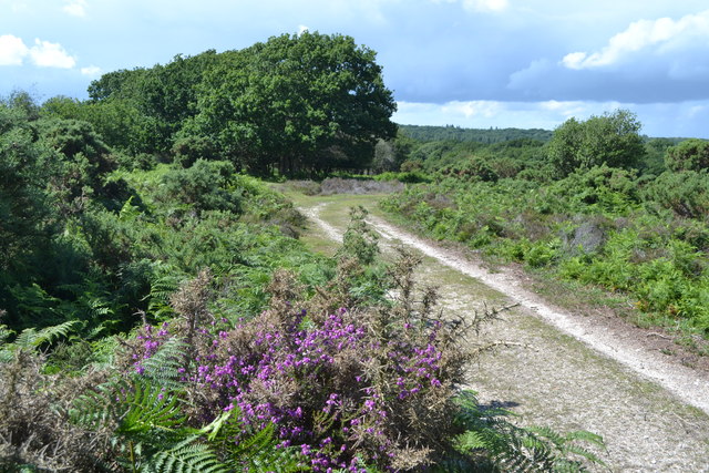
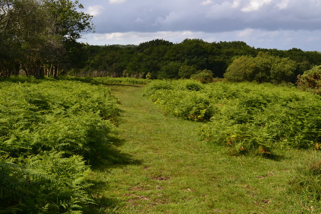
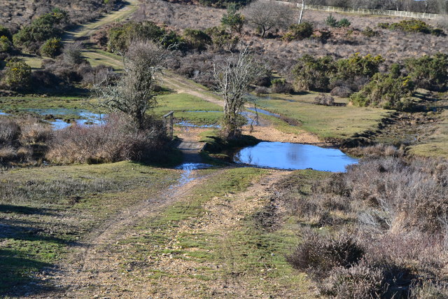
The downs in Ridley Plain are rolling hills covered with lush green grass and scattered patches of wildflowers, creating a stunning landscape that stretches as far as the eye can see. Visitors can enjoy leisurely walks or hikes along the numerous trails that traverse these downs, offering breathtaking views of the surrounding countryside.
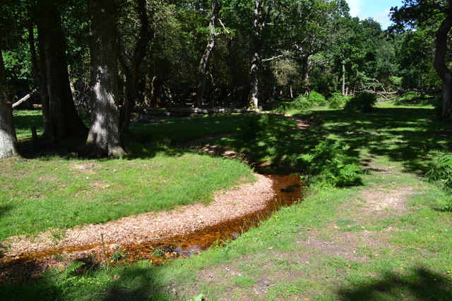
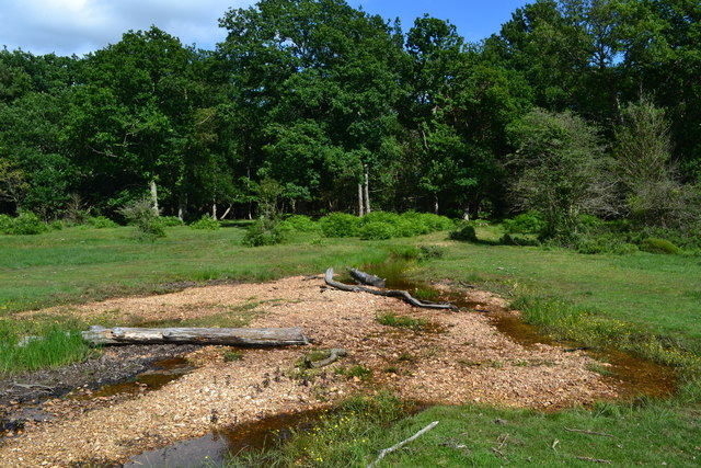
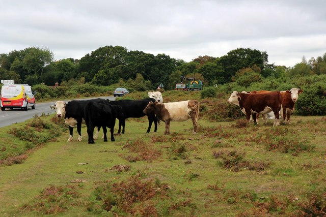
The moorland in Ridley Plain is a unique ecosystem, characterized by its heather-covered hills and open expanses. This habitat provides a sanctuary for a variety of wildlife, including birds, reptiles, and small mammals. Keen birdwatchers can spot a range of species, such as skylarks, buzzards, and kestrels, soaring above the moorland.
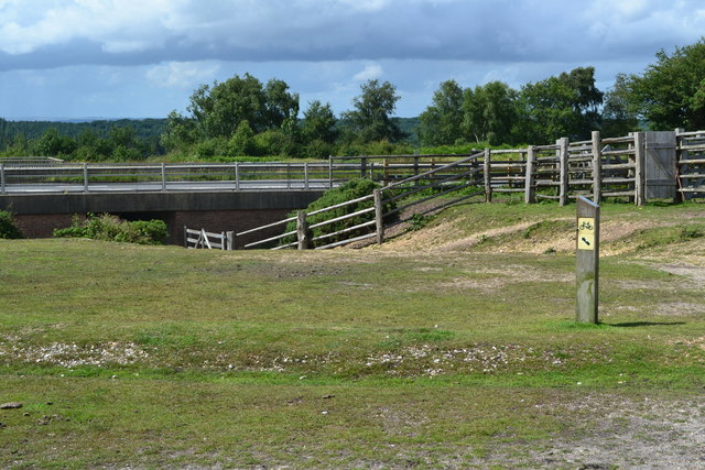
In addition to its natural beauty, Ridley Plain also boasts historical significance. The area is home to several ancient landmarks, such as burial mounds and stone circles, which offer a glimpse into the region's rich history and heritage.
For those seeking tranquility and a break from the hustle and bustle of city life, Ridley Plain is an ideal destination. Its peaceful and untouched surroundings provide the perfect backdrop for relaxation, reflection, and reconnecting with nature. Whether it's a leisurely stroll, a challenging hike, or simply enjoying a picnic surrounded by stunning vistas, Ridley Plain offers something for everyone to enjoy.
If you have any feedback on the listing, please let us know in the comments section below.
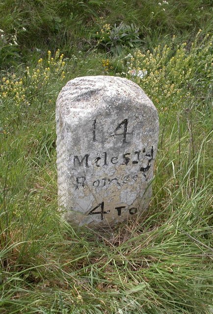
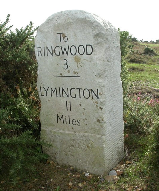
Ridley Plain Images
Images are sourced within 2km of 50.860446/-1.7089787 or Grid Reference SU2006. Thanks to Geograph Open Source API. All images are credited.
Ridley Plain is located at Grid Ref: SU2006 (Lat: 50.860446, Lng: -1.7089787)
Administrative County: Hampshire
District: New Forest
Police Authority: Hampshire
What 3 Words
///personal.chiefs.routine. Near Burley, Hampshire
Nearby Locations
Related Wikis

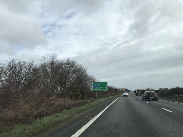
Picket Post
Picket Post is a road junction and service area in the New Forest National Park of Hampshire, England. It lies on the A31 road. == Facilities == Picket...

Shobley
Shobley is a small hamlet in the New Forest National Park of Hampshire, England. Its nearest town is Ringwood, which lies approximately 1.8 miles (2.9...
Linford, Hampshire
Linford is a hamlet in the New Forest district of Hampshire, England, close to the market town of Ringwood. It is about 1.5 miles east of Ringwood. It...
Picket Hill
Picket Hill is a hamlet next to Picket Post in the New Forest National Park of Hampshire, England. It lies on the outskirts of Ringwood.
Forest Corner
Forest Corner is a village in the New Forest National Park of Hampshire, England. It is on the A31 road travelling between Southampton and Bournemouth...

Castle Hill, Hampshire
Castle Hill is the site of an Iron Age univallate hillfort located in the civil parish of Burley in the New Forest national park in Hampshire, England...

Linwood, Hampshire
Linwood is a hamlet in the New Forest National Park of Hampshire, England. Its nearest town is Ringwood, which lies approximately 4.2 miles (5.9 km) south...

Hangersley
Hangersley is a hamlet in the New Forest National Park of Hampshire, England. It only lies exactly 1 mile (1.5 km) from Ringwood, its nearest town. �...
Related Videos

Trip to Picket Post Car Park View Point - New forest national park | Vlog #136
tripcivlog #newforest #newforestnationalpark #picketpostcarpark Holiday Packages - All Over India ----------------------- Mail yout ...

GoPro New Forest Hack 20/08/18
Taken on a GoPro Hero 4 and edited with Quik, music is from Quik. Enjoy! Like, comment and subscribe for more :)

Vanlife New Van Tour
And in this video I show you around my Citroen relay home... with a little story at the end.
Nearby Amenities
Located within 500m of 50.860446,-1.7089787Have you been to Ridley Plain?
Leave your review of Ridley Plain below (or comments, questions and feedback).