Shears Pond
Lake, Pool, Pond, Freshwater Marsh in Hampshire New Forest
England
Shears Pond
Shears Pond is a picturesque freshwater marsh located in Hampshire, England. Situated amidst lush greenery and serene surroundings, it is a popular spot for nature enthusiasts and those seeking tranquility. Spanning across a modest area, the pond is classified as a lake, pool, pond, and freshwater marsh due to its unique characteristics.
The pond is home to a diverse range of flora and fauna, making it a haven for wildlife. Tall reeds and water lilies dot the edges of the pond, providing a habitat for various species of birds, insects, and amphibians. Visitors can often spot ducks, swans, and herons gliding gracefully across the water's surface.
The surrounding vegetation consists of low-lying shrubs and grasses, creating a vibrant ecosystem. The marshy terrain is interspersed with small channels and rivulets, adding to the natural beauty of the area. These waterways serve as a vital source of water for the plants and animals that inhabit the pond.
Shears Pond offers visitors the opportunity to indulge in recreational activities such as birdwatching, photography, and leisurely walks along its shores. On warm summer days, it is not uncommon to see families and friends enjoying picnics on the grassy banks.
The pond is easily accessible, with well-maintained footpaths leading to its picturesque location. It provides a peaceful escape from the hustle and bustle of everyday life, allowing visitors to immerse themselves in the beauty of nature.
Overall, Shears Pond in Hampshire is a stunning freshwater marsh that offers a delightful experience for nature lovers. Its diverse ecosystem, scenic vistas, and abundant wildlife make it a must-visit destination for anyone seeking solace in the great outdoors.
If you have any feedback on the listing, please let us know in the comments section below.
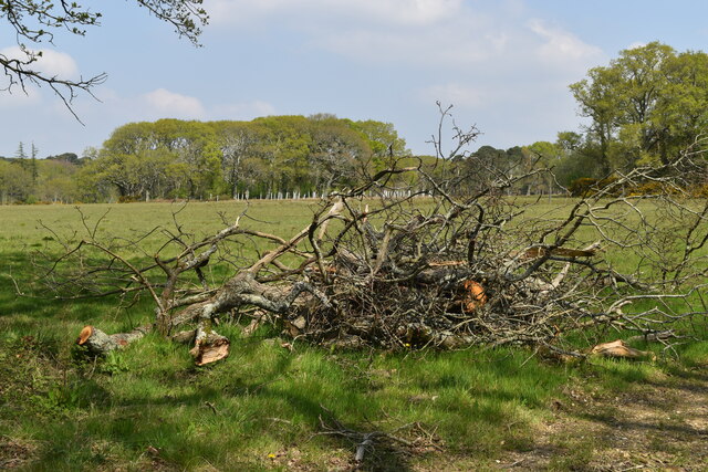
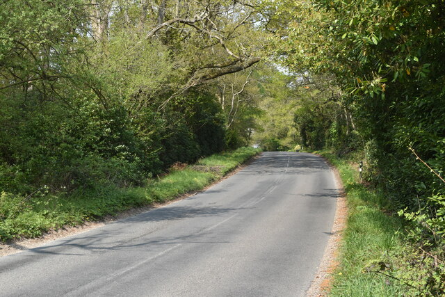
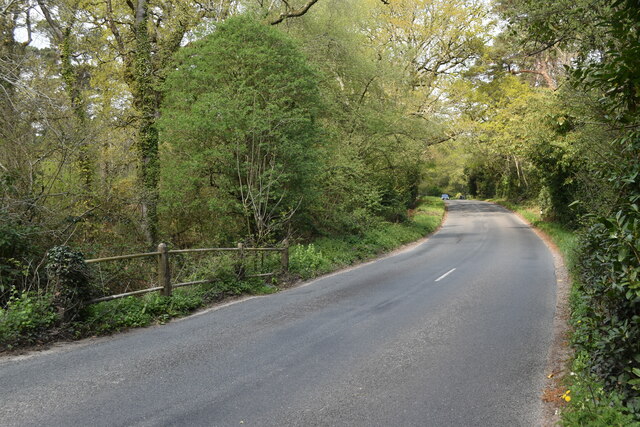
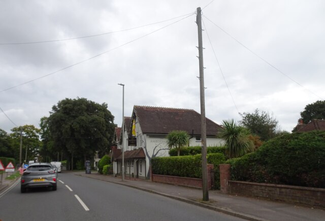
Shears Pond Images
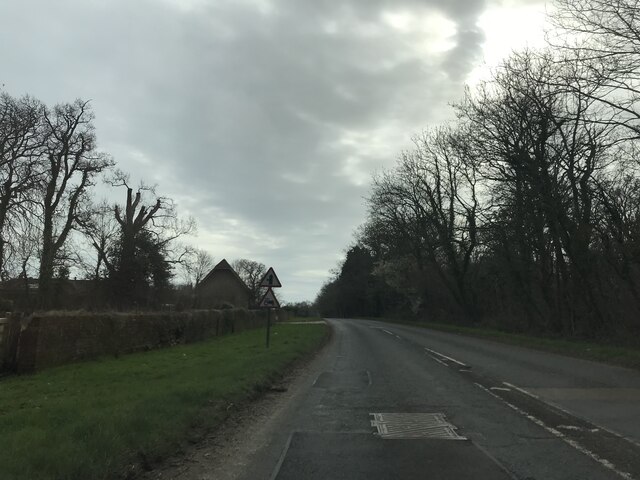
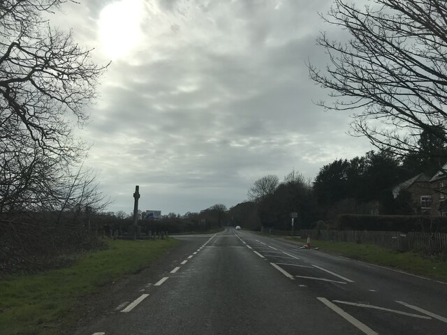
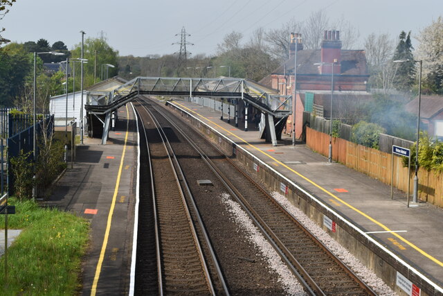
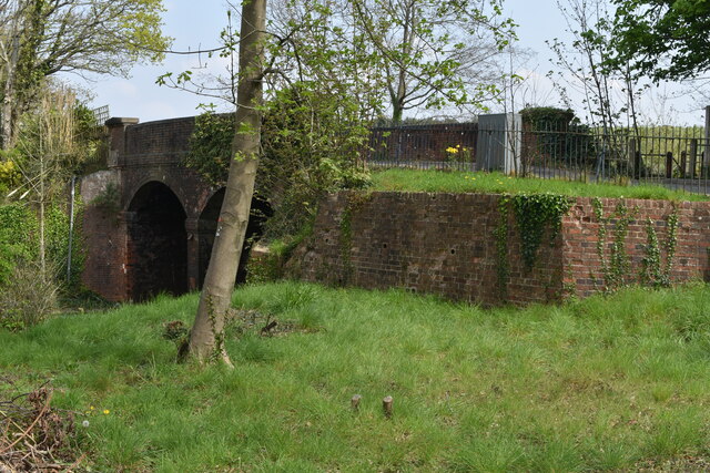
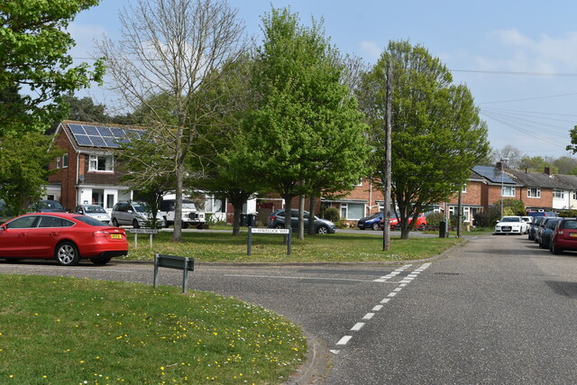
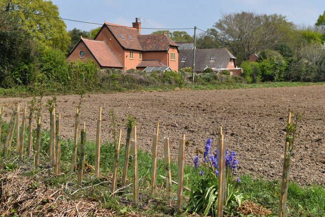
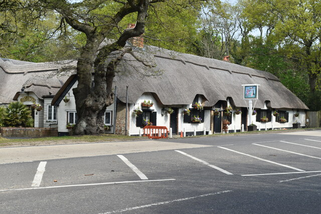
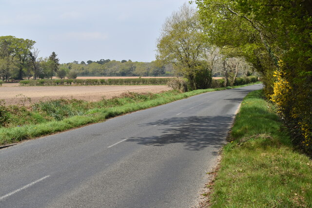
Images are sourced within 2km of 50.76477/-1.7144213 or Grid Reference SZ2096. Thanks to Geograph Open Source API. All images are credited.


Shears Pond is located at Grid Ref: SZ2096 (Lat: 50.76477, Lng: -1.7144213)
Administrative County: Hampshire
District: New Forest
Police Authority: Hampshire
What 3 Words
///fruitcake.tricks.exulted. Near Bransgore, Hampshire
Nearby Locations
Related Wikis
Hinton, Hampshire
Hinton is a dispersed settlement in the civil parish of Bransgore, in the English county of Hampshire. Hinton is centred on the main A35 road northeast...

Burton Common
Burton Common is a 32.1-hectare (79-acre) biological Site of Special Scientific Interest south of Bransgore in Hampshire. This dry heath has over-mature...

Hinton Admiral railway station
Hinton Admiral railway station is a station serving the villages of Bransgore and Hinton and the seaside town of Highcliffe on the Hampshire/Dorset border...

Hinton Admiral
Hinton Admiral is the estate and ancestral home of the Tapps-Gervis-Meyrick family and located in the settlement of Hinton, near Bransgore in Hampshire...
Nearby Amenities
Located within 500m of 50.76477,-1.7144213Have you been to Shears Pond?
Leave your review of Shears Pond below (or comments, questions and feedback).