Ash Bank Pond
Lake, Pool, Pond, Freshwater Marsh in Yorkshire Richmondshire
England
Ash Bank Pond
Ash Bank Pond is a small freshwater pond located in Yorkshire, England. Situated in the picturesque village of Ash Bank, the pond is a popular recreational spot for locals and tourists alike. It covers an area of approximately 2 acres and is surrounded by lush greenery, creating a serene and tranquil atmosphere.
The pond is fed by a natural spring, ensuring a constant supply of fresh water. Its depth varies across different parts, ranging from shallow areas suitable for wading to deeper sections ideal for swimming. The water is clear and pristine, making it an inviting spot for aquatic activities such as fishing and boating.
Surrounding the pond is a diverse array of plant life, including reeds, lilies, and water grasses. This vegetation provides a habitat for a variety of wildlife, such as ducks, swans, and frogs. Birdwatchers will also find plenty of opportunities to observe a range of avian species that inhabit the area.
For those seeking relaxation or a picnic spot, the pond is surrounded by well-maintained grassy areas with benches and picnic tables. Visitors can enjoy the peaceful ambiance while taking in the stunning views of the surrounding countryside.
Ash Bank Pond is easily accessible, with ample parking available nearby, and is open to the public year-round. It is a cherished local landmark and a vital part of the community, providing both recreational and ecological benefits to the area. Whether for a leisurely stroll, a family outing, or simply to appreciate the natural beauty, Ash Bank Pond offers a delightful experience for all who visit.
If you have any feedback on the listing, please let us know in the comments section below.
Ash Bank Pond Images
Images are sourced within 2km of 54.300489/-1.8672645 or Grid Reference SE0889. Thanks to Geograph Open Source API. All images are credited.
Ash Bank Pond is located at Grid Ref: SE0889 (Lat: 54.300489, Lng: -1.8672645)
Division: North Riding
Administrative County: North Yorkshire
District: Richmondshire
Police Authority: North Yorkshire
What 3 Words
///mandates.mimics.commander. Near Leyburn, North Yorkshire
Nearby Locations
Related Wikis
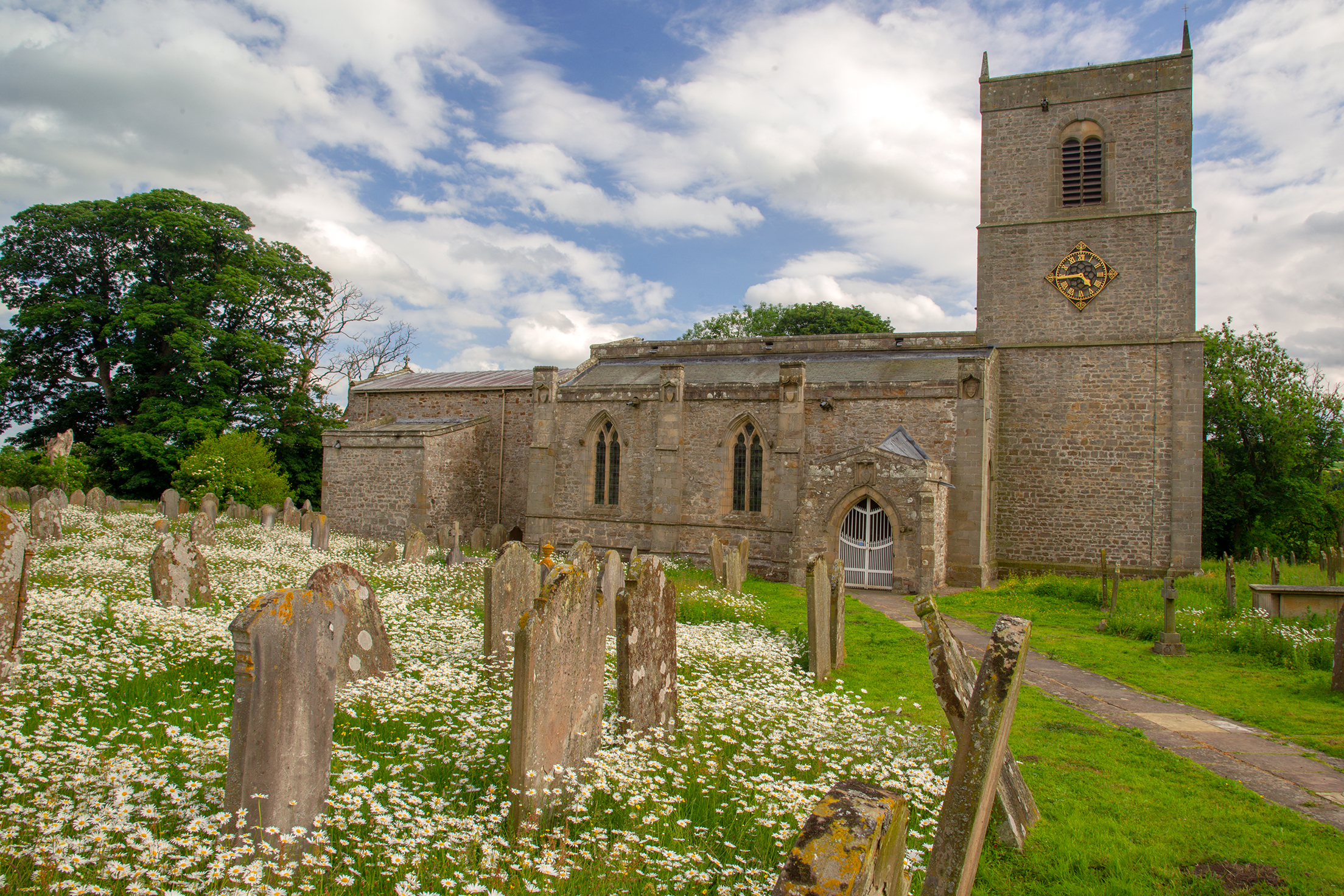
Holy Trinity Church, Wensley
Holy Trinity Church is a redundant Anglican church on Low Lane in the village of Wensley, North Yorkshire, England. The building is recorded in the National...
Wensley, North Yorkshire
Wensley is a small village and civil parish in North Yorkshire, England. It consists of a few homes and holiday cottage, an inn, a pub and a historic church...

Leyburn Old Glebe
Leyburn Old Glebe Nature Reserve is a nature reserve and Site of Special Scientific Interest (SSSI) managed by the Yorkshire Wildlife Trust. It is about...
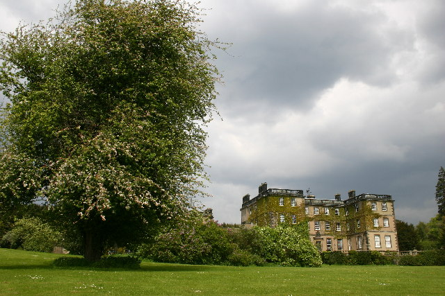
Bolton Hall, North Yorkshire
Bolton Hall is a country house near Preston-under-Scar, Richmondshire, North Yorkshire, England, in Wensleydale, some 3 miles (5 km) west of Leyburn. It...
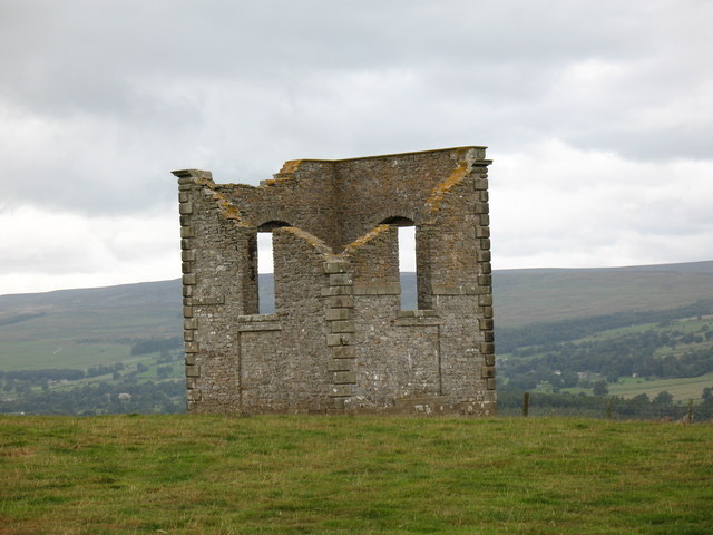
The Mount, North Yorkshire
The Mount, or Polly Peachum's Tower, is a hunting tower near Wensley and about a mile south-east of Bolton Hall, in North Yorkshire, England. It is a Grade...
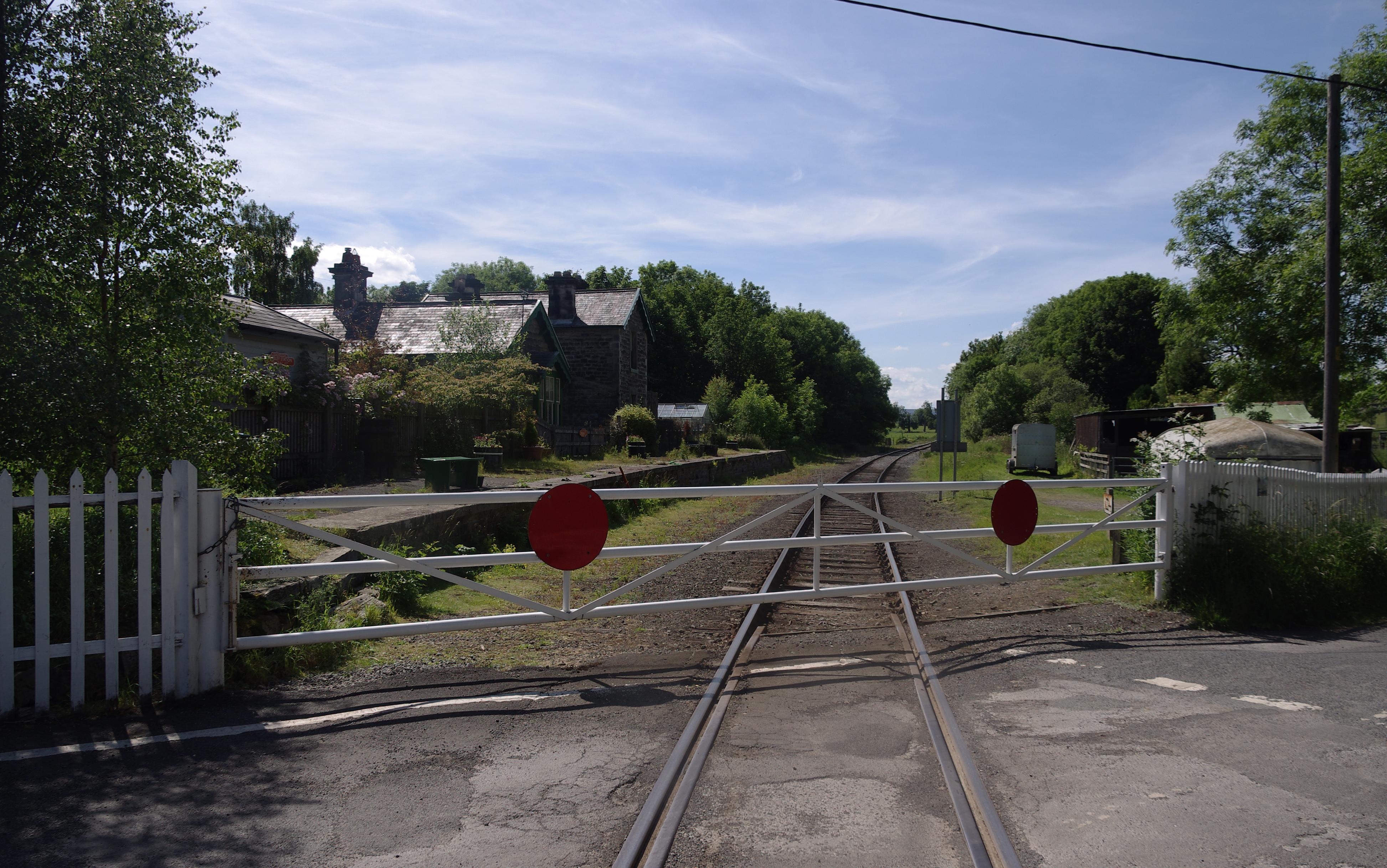
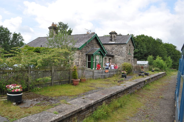
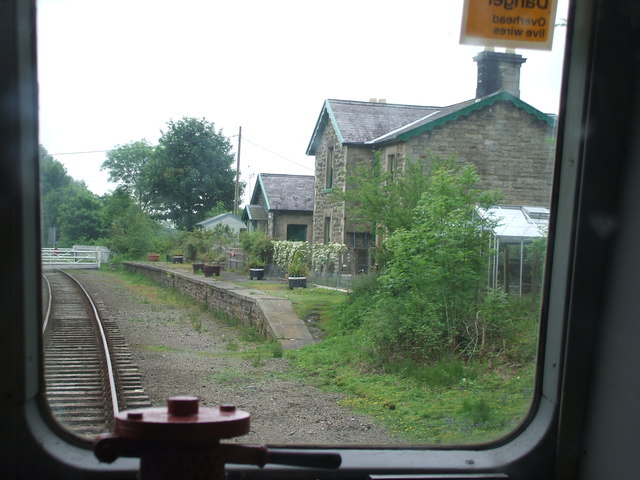
Wensley railway station
Wensley railway station is a disused railway station on the Wensleydale Railway, in North Yorkshire, England. It was opened by the North Eastern Railway...
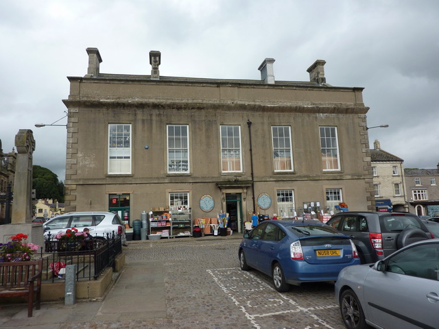
Leyburn Town Hall
Leyburn Town Hall is a municipal building in the Market Place, Leyburn, North Yorkshire, England. The structure, which is used for retail purposes and...
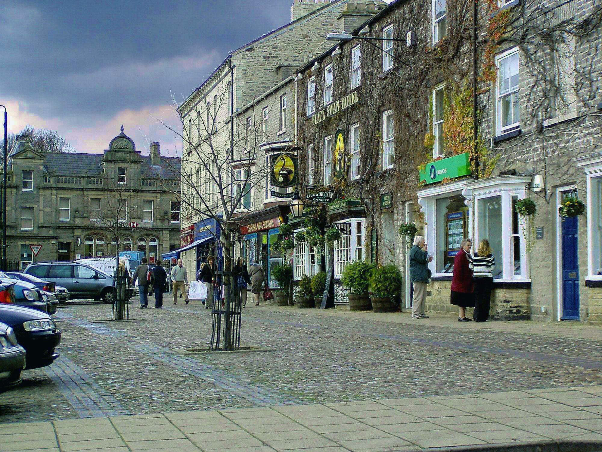
Leyburn
Leyburn is a market town and civil parish in North Yorkshire, England, sitting above the northern bank of the River Ure in Wensleydale. Historically in...
Nearby Amenities
Located within 500m of 54.300489,-1.8672645Have you been to Ash Bank Pond?
Leave your review of Ash Bank Pond below (or comments, questions and feedback).