Miller Wood
Wood, Forest in Yorkshire Richmondshire
England
Miller Wood
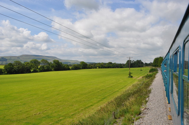
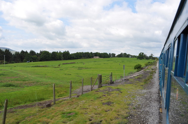
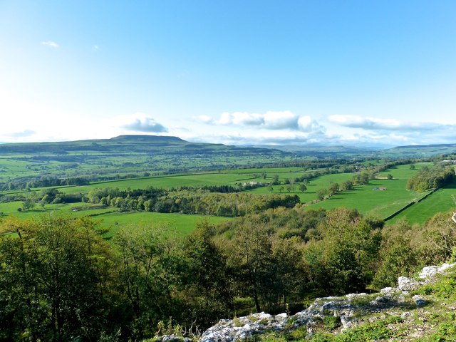
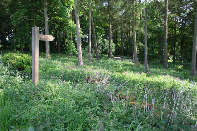
Miller Wood is a charming forest located in the county of Yorkshire, England. Spread over an area of approximately 50 acres, this woodland is a haven for nature enthusiasts and outdoor adventurers alike. The wood is situated in a picturesque setting, surrounded by rolling hills and lush greenery, providing a tranquil escape from the hustle and bustle of everyday life.
One of the defining features of Miller Wood is its diverse range of tree species. The forest is predominantly made up of oak, ash, and beech trees, which create a dense canopy that provides shade and shelter to the various plant and animal species that call this woodland home. In springtime, the forest floor is adorned with a colorful carpet of wildflowers, adding to the natural beauty of the area.
Miller Wood is also home to an abundance of wildlife. Visitors may catch glimpses of roe deer, foxes, badgers, and a variety of bird species, making it a popular spot for birdwatching enthusiasts. The forest is also home to several small streams, which further enhance the ecosystem and provide a habitat for amphibians such as frogs and newts.
For those seeking outdoor activities, Miller Wood offers a network of walking trails that meander through the forest, allowing visitors to explore its natural wonders at their own pace. The trails are well-maintained and suitable for all ages and fitness levels, making it an ideal destination for families and individuals alike.
Overall, Miller Wood is a true gem in Yorkshire's landscape, offering a peaceful retreat and a chance to connect with nature in its purest form.
If you have any feedback on the listing, please let us know in the comments section below.
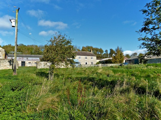
Miller Wood Images
Images are sourced within 2km of 54.298463/-1.8715272 or Grid Reference SE0889. Thanks to Geograph Open Source API. All images are credited.
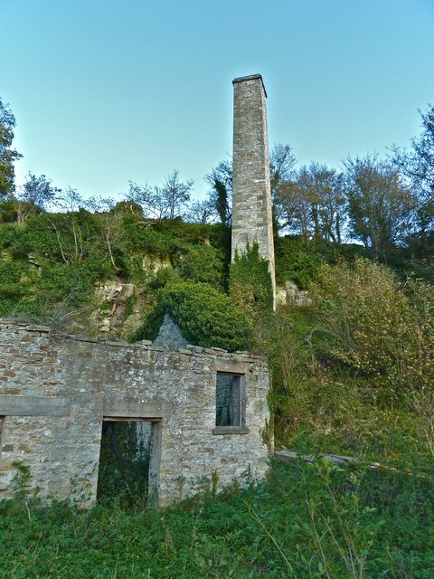
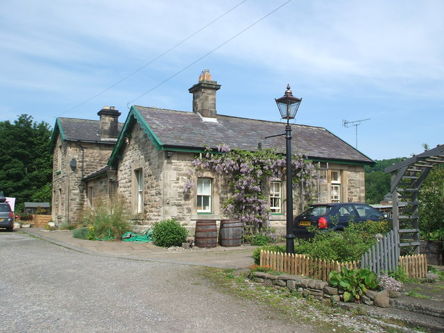
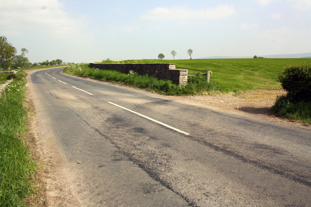

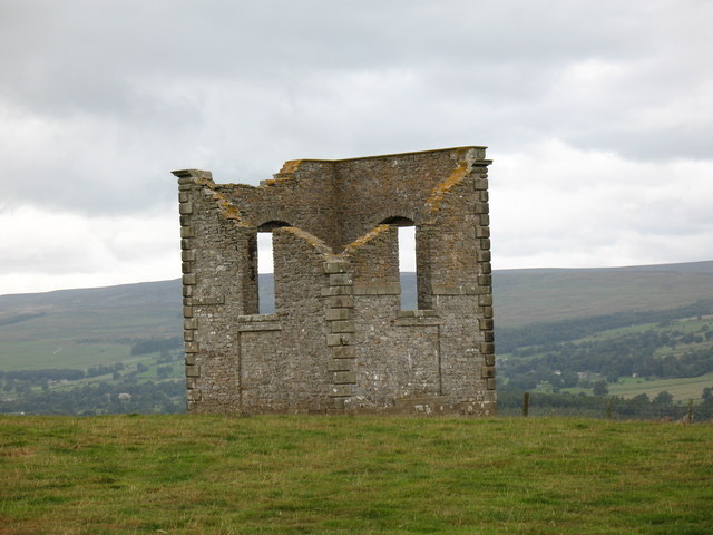
![Ruined building associated with the Keldheads Smelt Mill Historicengland.org.uk. (2012). Keld Heads lead smelt mill and mine complex, Preston-under-Scar - 1014763 | Historic England. [online] Available at: <span class="nowrap"><a title="https://historicengland.org.uk/listing/the-list/list-entry/1014763?section=official-listing" rel="nofollow ugc noopener" href="https://historicengland.org.uk/listing/the-list/list-entry/1014763?section=official-listing">Link</a><img style="margin-left:2px;" alt="External link" title="External link - shift click to open in new window" src="https://s1.geograph.org.uk/img/external.png" width="10" height="10"/></span> [Accessed 24 Jan. 2022].](https://s1.geograph.org.uk/geophotos/04/41/37/4413705_9fab5742.jpg)
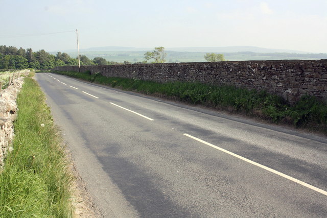
![Ruined building associated with the Keldheads Smelt Mill Historicengland.org.uk. (2012). Keld Heads lead smelt mill and mine complex, Preston-under-Scar - 1014763 | Historic England. [online] Available at: <span class="nowrap"><a title="https://historicengland.org.uk/listing/the-list/list-entry/1014763?section=official-listing" rel="nofollow ugc noopener" href="https://historicengland.org.uk/listing/the-list/list-entry/1014763?section=official-listing">Link</a><img style="margin-left:2px;" alt="External link" title="External link - shift click to open in new window" src="https://s1.geograph.org.uk/img/external.png" width="10" height="10"/></span> [Accessed 24 Jan. 2022].](https://s1.geograph.org.uk/geophotos/04/41/37/4413709_2fd27558.jpg)
Miller Wood is located at Grid Ref: SE0889 (Lat: 54.298463, Lng: -1.8715272)
Division: North Riding
Administrative County: North Yorkshire
District: Richmondshire
Police Authority: North Yorkshire
What 3 Words
///merely.notices.cocoons. Near Leyburn, North Yorkshire
Nearby Locations
Related Wikis
Holy Trinity Church, Wensley
Holy Trinity Church is a redundant Anglican church on Low Lane in the village of Wensley, North Yorkshire, England. The building is recorded in the National...
Wensley, North Yorkshire
Wensley is a small village and civil parish in North Yorkshire, England. It consists of a few homes and holiday cottage, an inn, a pub and a historic church...
The Mount, North Yorkshire
The Mount, or Polly Peachum's Tower, is a hunting tower near Wensley and about a mile south-east of Bolton Hall, in North Yorkshire, England. It is a Grade...
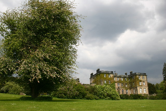
Bolton Hall, North Yorkshire
Bolton Hall is a country house near Preston-under-Scar, Richmondshire, North Yorkshire, England, in Wensleydale, some 3 miles (5 km) west of Leyburn. It...

Leyburn Old Glebe
Leyburn Old Glebe Nature Reserve is a nature reserve and Site of Special Scientific Interest (SSSI) managed by the Yorkshire Wildlife Trust. It is about...
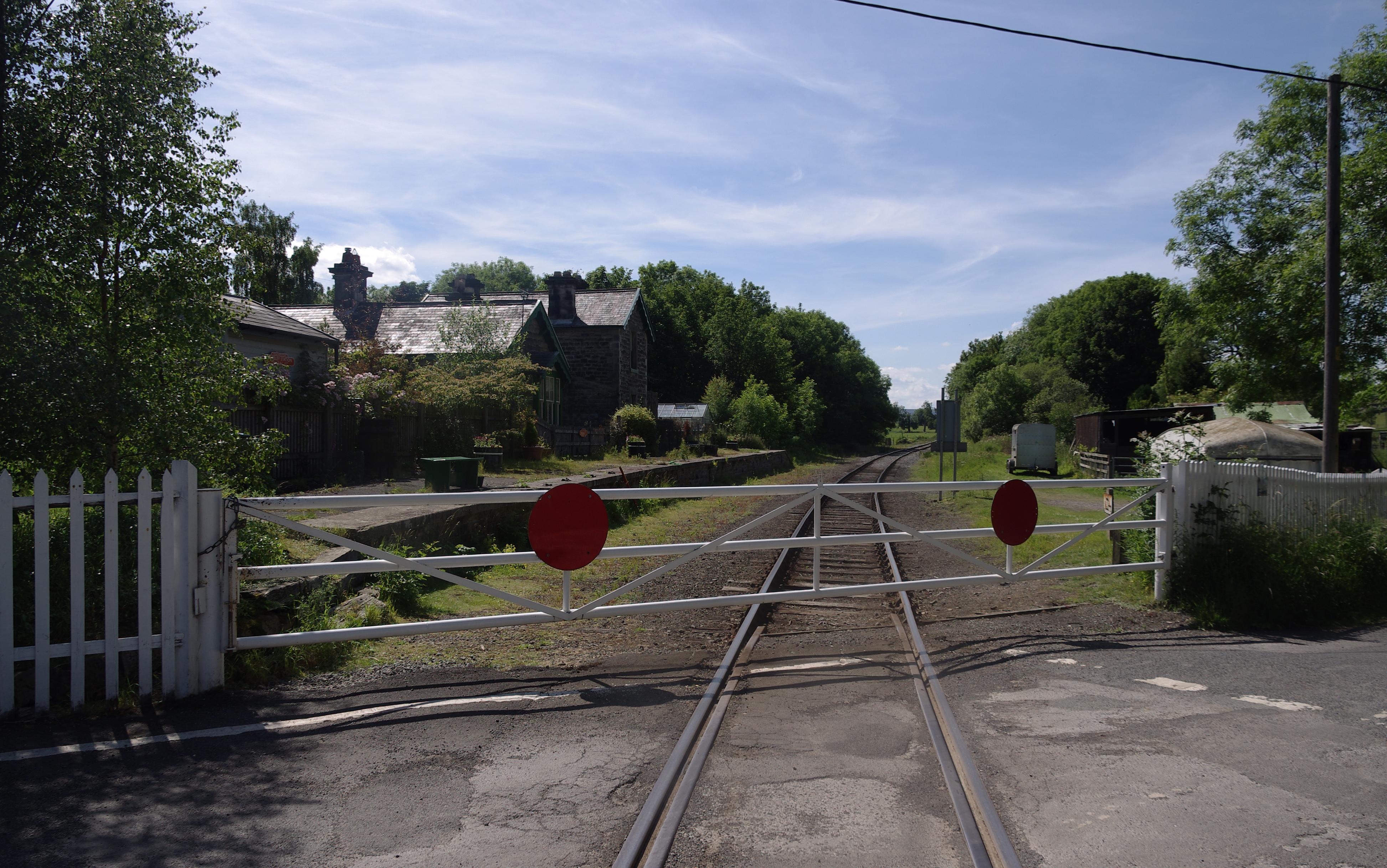
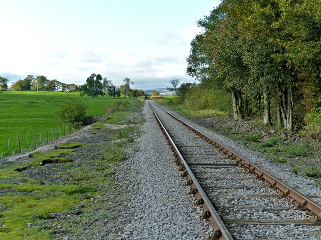
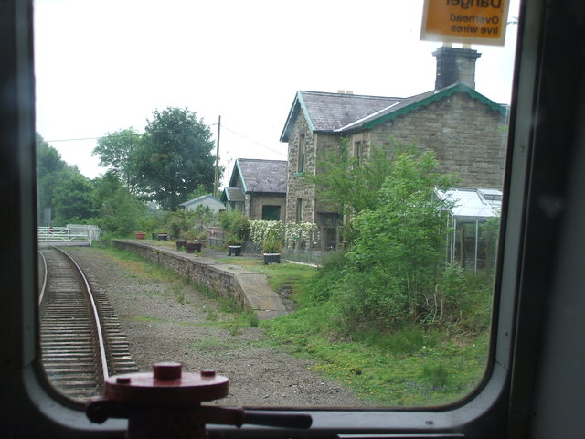
Wensley railway station
Wensley railway station is a disused railway station on the Wensleydale Railway, in North Yorkshire, England. It was opened by the North Eastern Railway...

West Witton
West Witton is a village and civil parish in the Richmondshire district of North Yorkshire, England. Located in Wensleydale in the Yorkshire Dales it lies...
St Bartholomew's Church, West Witton
St Bartholomew's Church, West Witton is a Grade II listed parish church in the Church of England: 387 in West Witton, North Yorkshire. == History == The...
Nearby Amenities
Located within 500m of 54.298463,-1.8715272Have you been to Miller Wood?
Leave your review of Miller Wood below (or comments, questions and feedback).