Broadhams Stripe
Wood, Forest in Yorkshire Richmondshire
England
Broadhams Stripe
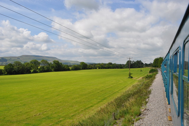
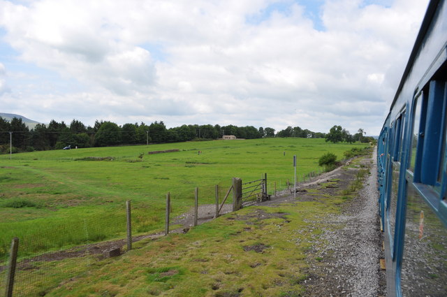
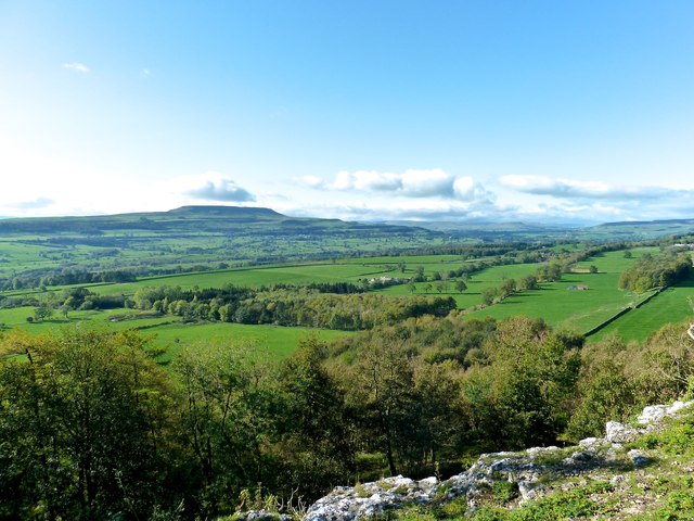
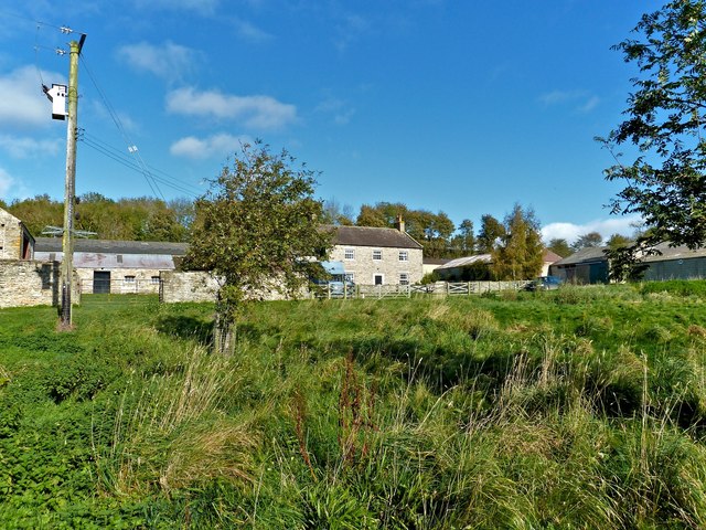
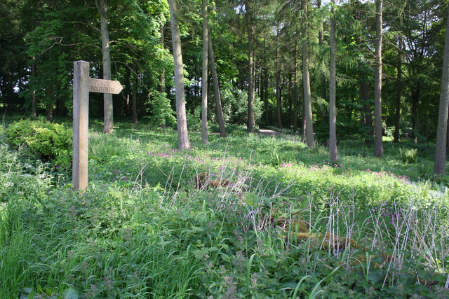
Broadhams Stripe is a picturesque woodland located in the heart of Yorkshire, England. This beautiful forest is known for its dense and diverse vegetation, making it a popular destination for nature lovers and outdoor enthusiasts alike.
Covering an area of approximately 500 hectares, Broadhams Stripe is characterized by its towering oak and beech trees, which provide a stunning canopy of foliage throughout the year. The forest floor is adorned with a tapestry of wildflowers, ferns, and mosses, creating a vibrant and enchanting atmosphere.
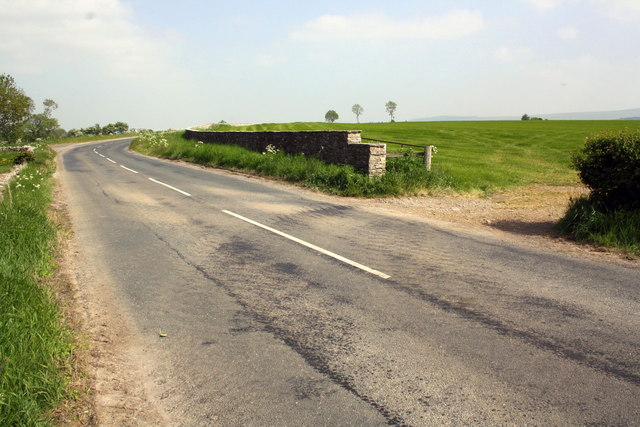
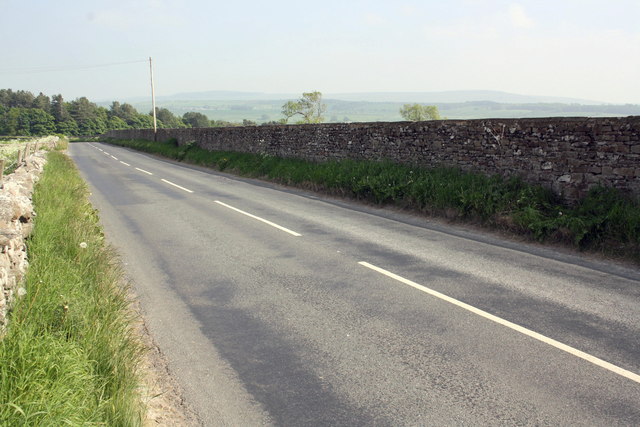
One of the notable features of Broadhams Stripe is its extensive network of walking trails, allowing visitors to explore the forest at their own pace. The paths wind through the woodland, offering breathtaking views of the surrounding countryside and glimpses of local wildlife, including deer, rabbits, and a variety of bird species.
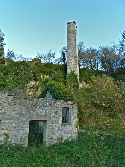
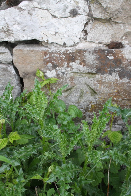
In addition to its natural beauty, Broadhams Stripe also holds historical significance. It is believed that the forest has been in existence for centuries, with evidence of human activity dating back to the Iron Age. Remnants of old settlements and stone structures can still be found within the woodland, offering a glimpse into the area's rich past.
Broadhams Stripe is a haven for outdoor activities such as hiking, birdwatching, and photography. With its tranquil atmosphere and stunning vistas, it provides a welcome escape from the hustle and bustle of modern life, allowing visitors to reconnect with nature and enjoy the beauty of Yorkshire's woodlands.
If you have any feedback on the listing, please let us know in the comments section below.
Broadhams Stripe Images
Images are sourced within 2km of 54.299425/-1.8726305 or Grid Reference SE0889. Thanks to Geograph Open Source API. All images are credited.


Broadhams Stripe is located at Grid Ref: SE0889 (Lat: 54.299425, Lng: -1.8726305)
Division: North Riding
Administrative County: North Yorkshire
District: Richmondshire
Police Authority: North Yorkshire
What 3 Words
///cute.monkeys.enjoys. Near Leyburn, North Yorkshire
Nearby Locations
Related Wikis
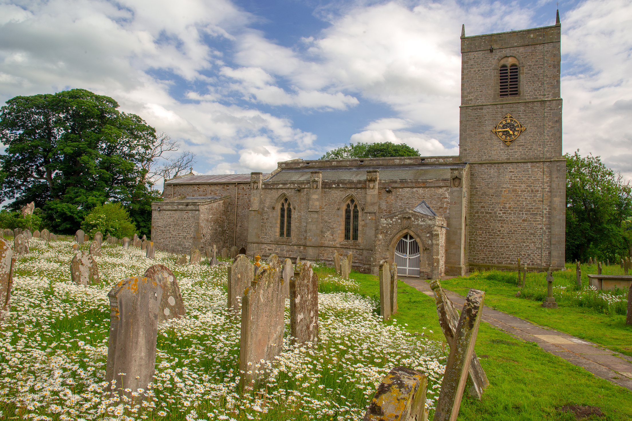
Holy Trinity Church, Wensley
Holy Trinity Church is a redundant Anglican church on Low Lane in the village of Wensley, North Yorkshire, England. The building is recorded in the National...
Wensley, North Yorkshire
Wensley is a small village and civil parish in North Yorkshire, England. It consists of a few homes and holiday cottage, an inn, a pub and a historic church...
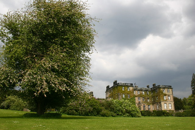
Bolton Hall, North Yorkshire
Bolton Hall is a country house near Preston-under-Scar, Richmondshire, North Yorkshire, England, in Wensleydale, some 3 miles (5 km) west of Leyburn. It...
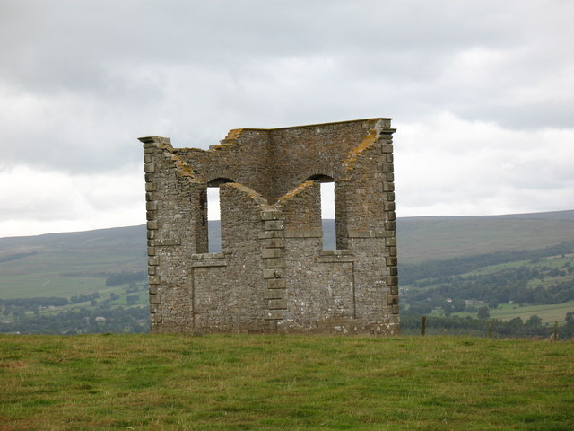
The Mount, North Yorkshire
The Mount, or Polly Peachum's Tower, is a hunting tower near Wensley and about a mile south-east of Bolton Hall, in North Yorkshire, England. It is a Grade...

Leyburn Old Glebe
Leyburn Old Glebe Nature Reserve is a nature reserve and Site of Special Scientific Interest (SSSI) managed by the Yorkshire Wildlife Trust. It is about...
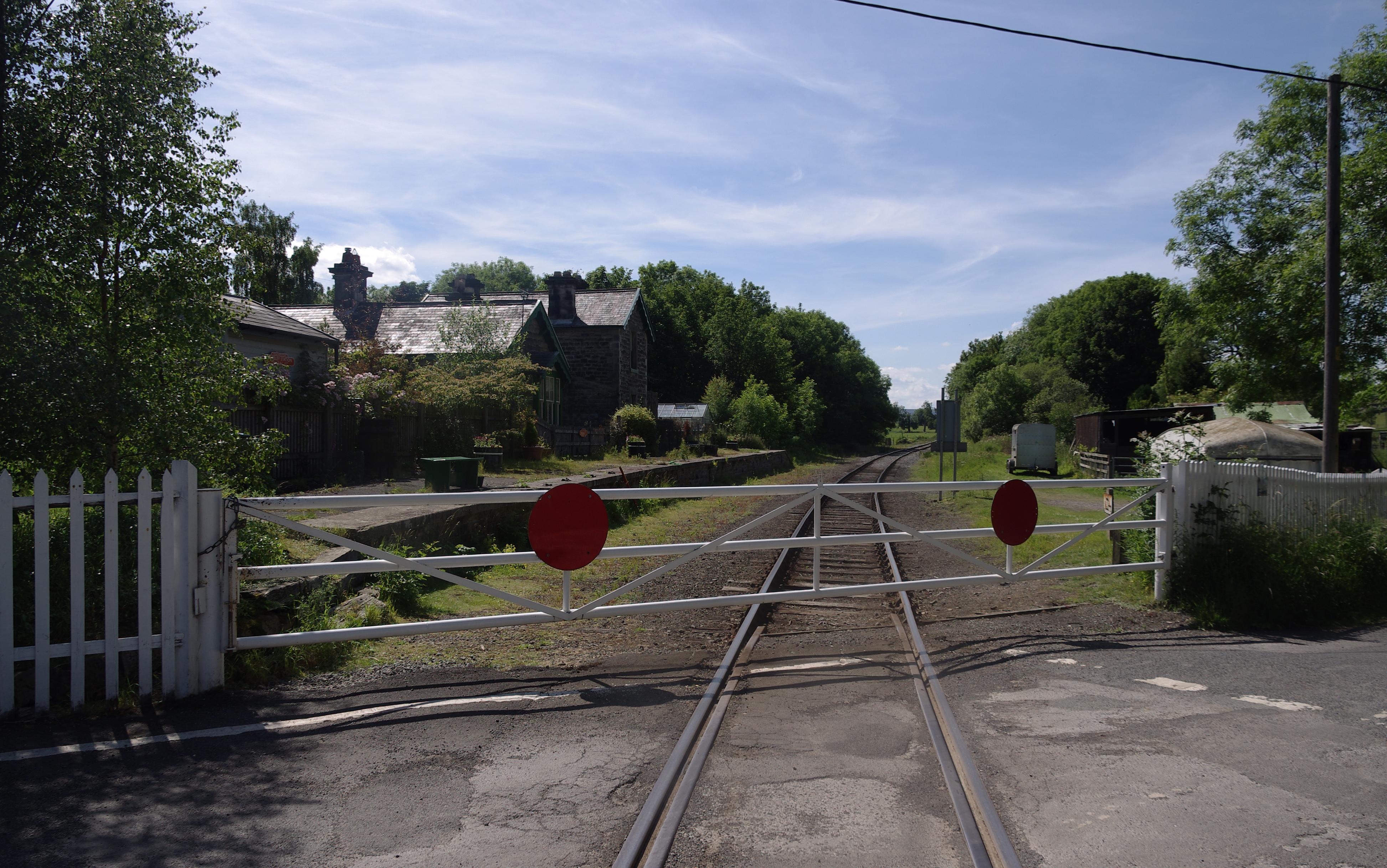
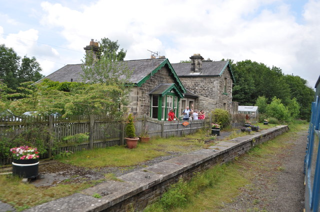
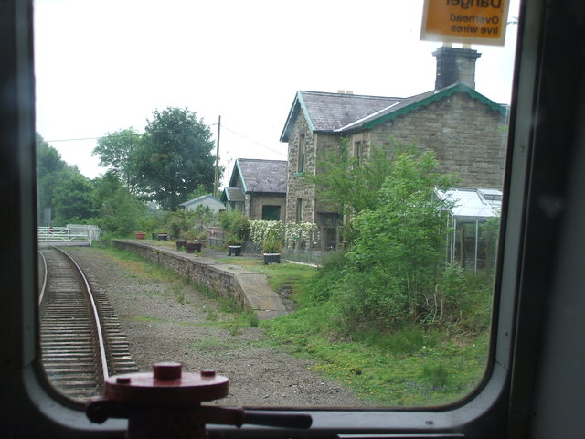
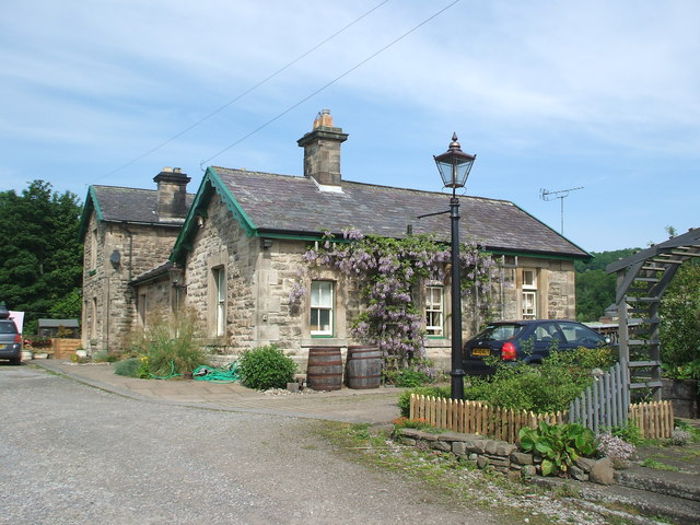
Wensley railway station
Wensley railway station is a disused railway station on the Wensleydale Railway, in North Yorkshire, England. It was opened by the North Eastern Railway...

West Witton
West Witton is a village and civil parish in the Richmondshire district of North Yorkshire, England. Located in Wensleydale in the Yorkshire Dales it lies...
St Bartholomew's Church, West Witton
St Bartholomew's Church, West Witton is a Grade II listed parish church in the Church of England: 387 in West Witton, North Yorkshire. == History == The...
Nearby Amenities
Located within 500m of 54.299425,-1.8726305Have you been to Broadhams Stripe?
Leave your review of Broadhams Stripe below (or comments, questions and feedback).