Coldbath Pool

Lake, Pool, Pond, Freshwater Marsh in Worcestershire

England

Coldbath Pool

Highfield Road, Hall Green
Highfield Road, Hall Green Credit: Darius Khan

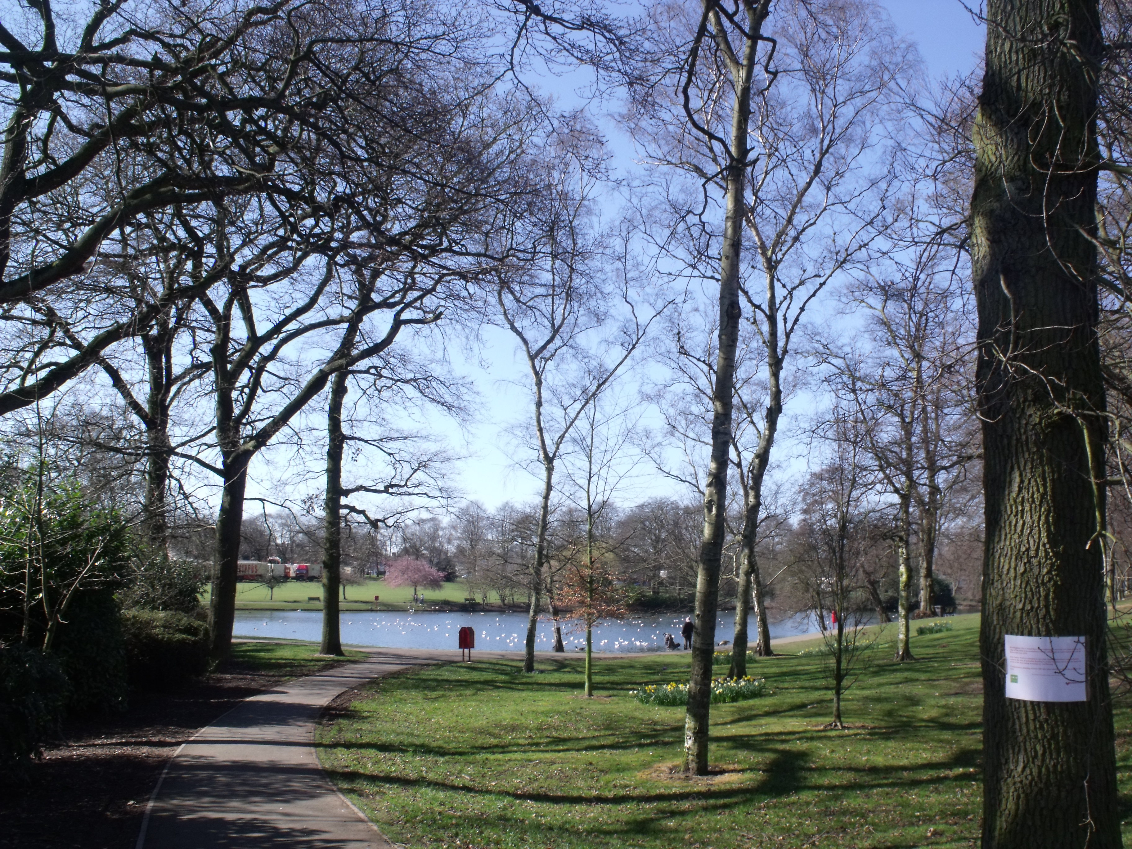
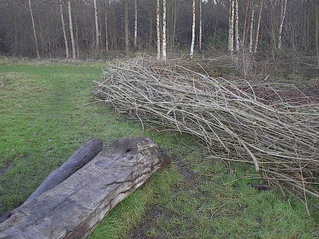
Coldbath Pool is a notable freshwater body located in Worcestershire, England. It is nestled within the picturesque Coldbath Meadows, a nature reserve that spans approximately 50 hectares. The pool itself covers an area of around 4 hectares and is surrounded by lush vegetation, making it a haven for diverse flora and fauna.

This serene pool is fed by a natural spring, ensuring a constant supply of fresh water. Its crystal-clear waters are home to a variety of aquatic plants, such as water lilies and reeds, which create a vibrant and colorful ecosystem. The pool is also home to an array of freshwater fish, including perch, pike, and roach, making it a popular spot for anglers.

The surrounding area of Coldbath Pool is equally captivating. The freshwater marsh that borders the pool is known for its rich biodiversity and serves as a vital habitat for numerous bird species, including herons, kingfishers, and waterfowl. This makes it a haven for birdwatchers and nature enthusiasts.

Visitors to Coldbath Pool can enjoy the peaceful ambiance and natural beauty while strolling along well-maintained footpaths that encircle the pool. The reserve offers a range of facilities, including picnic areas, benches, and information boards that educate visitors about the local wildlife and history of the area.

Overall, Coldbath Pool is a tranquil and idyllic location that provides a refreshing escape from the hustle and bustle of everyday life. Whether it's fishing, birdwatching, or simply enjoying the serene surroundings, this remarkable freshwater pool offers something for everyone.

If you have any feedback on the listing, please let us know in the comments section below.

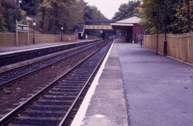
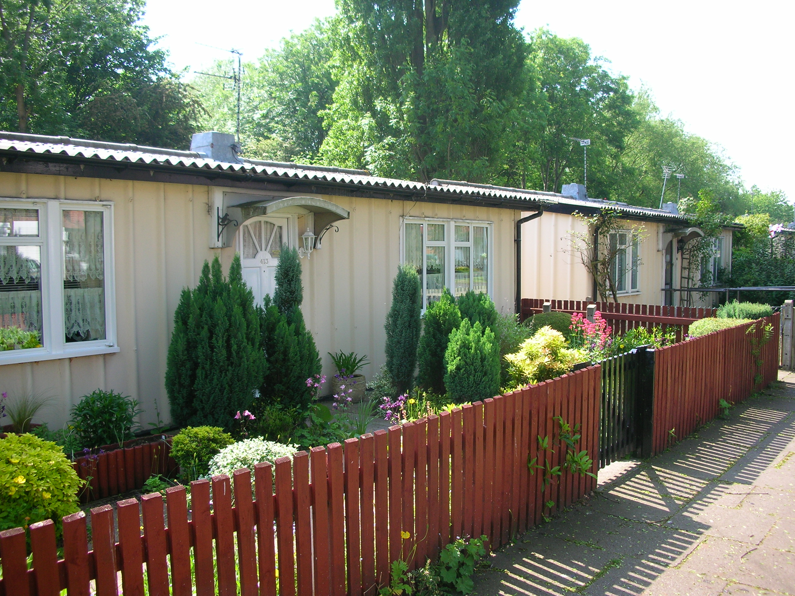
Coldbath Pool Images

Images are sourced within 2km of 52.435385/-1.8726623 or Grid Reference SP0881. Thanks to Geograph Open Source API. All images are credited.

Highfield Road, Hall Green
St Peters Church, Hall Green In 1923 following the growth of population in the area, and a generous gift of land from Colonel Jervaise, a small wooden building was erected and opened as a chapel (in September 1923) dedicated to St. Cadoc.

Continued growth in numbers over the next 30 years eventually saw this building re-dedicated in 1954 to St. Peter and the appointment of the first resident priest, Fr. Joseph Adlam. Some 5 years later plans were made for a more permanent building when on April 18th 1959 tragedy struck. A fire engulfed the wooden church, that had served for so long, and plans for expansion lay in ashes.

Using firstly a small wooden hut and later, the newly built parish hall, services were to continue for over four years before the completion of our wonderful new building.

The foundation stone was laid on July 14th 1962 and building eventually completed for the official opening in 1964. Over the next two years life reverted to normal with the parish hall being used for social and group meetings rather than religious services. Father Adlam was unfortunately unable to enjoy the ‘fruits of his labours’ for very long. He died suddenly on November 4th 1966. At his funeral the Bishop of Aston, The Right Rev. David Porter, said ‘Your new church is the finest memorial that Joseph Adlam could possibly have. It epitomises all that he lived for, hoped for, and slaved for and, if ever a man could die happy in the knowledge of a task fulfilled, it was he.’
St Peters Church, Hall Green
In 1923 following the growth of population in the area, and a generous gift of land from Colonel Jervaise, a small wooden building was erected and opened as a chapel (in September 1923) dedicated to St. Cadoc. Continued growth in numbers over the next 30 years eventually saw this building re-dedicated in 1954 to St. Peter and the appointment of the first resident priest, Fr. Joseph Adlam. Some 5 years later plans were made for a more permanent building when on April 18th 1959 tragedy struck. A fire engulfed the wooden church, that had served for so long, and plans for expansion lay in ashes. Using firstly a small wooden hut and later, the newly built parish hall, services were to continue for over four years before the completion of our wonderful new building. The foundation stone was laid on July 14th 1962 and building eventually completed for the official opening in 1964. Over the next two years life reverted to normal with the parish hall being used for social and group meetings rather than religious services. Father Adlam was unfortunately unable to enjoy the ‘fruits of his labours’ for very long. He died suddenly on November 4th 1966. At his funeral the Bishop of Aston, The Right Rev. David Porter, said ‘Your new church is the finest memorial that Joseph Adlam could possibly have. It epitomises all that he lived for, hoped for, and slaved for and, if ever a man could die happy in the knowledge of a task fulfilled, it was he.’
Hall Green Stadium, York Road, Birmingham Greyhound Racing stadium
Hall Green Stadium, York Road, Birmingham
Greyhound Racing stadium
South Birmingham College, Hall Green, Birmingham Educational Centre for Hair, Beauty, Catering, Public Service studies, Early Years, Care and Health Studies.
South Birmingham College, Hall Green, Birmingham
Educational Centre for Hair, Beauty, Catering, Public Service studies, Early Years, Care and Health Studies.
Hall Green to Yardley Wood Railway Line This is the railway line, looking from the bridge on Stonerwood Avenue in the direction of Yardley Wood Station.
Hall Green to Yardley Wood Railway Line
This is the railway line, looking from the bridge on Stonerwood Avenue in the direction of Yardley Wood Station.
Yardley Wood to Hall Green Railway Line Looking from the bridge on Stonerwood Avenue, this is the railway line in the direction from Yardley Wood Station to Hall Green Station. The bridge in the distance is Cole Bank Road.
Yardley Wood to Hall Green Railway Line
Looking from the bridge on Stonerwood Avenue, this is the railway line in the direction from Yardley Wood Station to Hall Green Station. The bridge in the distance is Cole Bank Road.
Site of Midland Bank / HSBC Hall Green  40-11-11 I worked for Midland Bank HSBC for 32 years and spent all but the last two in Birmingham Branches. I am photographing all the branches, or what's left of them, as they were when I joined Midland Bank in 1963. The branches all start with the sorting code 40-11.
This was the Hall Green branch at 1146 Stratford Road It later became a sub-office to Kings Heath Branch before closing and now being used by a bookmakers. The sorting code was 40-11-11.
Site of Midland Bank / HSBC Hall Green 40-11-11
I worked for Midland Bank HSBC for 32 years and spent all but the last two in Birmingham Branches. I am photographing all the branches, or what's left of them, as they were when I joined Midland Bank in 1963. The branches all start with the sorting code 40-11. This was the Hall Green branch at 1146 Stratford Road It later became a sub-office to Kings Heath Branch before closing and now being used by a bookmakers. The sorting code was 40-11-11.
Runnymede Rd Sparkhill. View north along this quiet residential street off Shaftmoor Lane
Runnymede Rd Sparkhill.
View north along this quiet residential street off Shaftmoor Lane
Hall Green Railway Station. As it appeared in 1982, apart from the closure of the signal box, probably little changed for many years.
Hall Green Railway Station.
As it appeared in 1982, apart from the closure of the signal box, probably little changed for many years.
Hall Green Station The station was looking a little tired, though retained its Great Western Railway charm.  Compare this to <a href="https://www.geograph.org.uk/photo/1200908">SP1082 : Hall Green Railway Station.</a> taken not many years later - trees are more extensive, and the paint-job's good.
Hall Green Station
The station was looking a little tired, though retained its Great Western Railway charm. Compare this to SP1082 : Hall Green Railway Station. taken not many years later - trees are more extensive, and the paint-job's good.
Highfield Road Araucaria araucana
Highfield Road
Araucaria araucana
Highfield Road Yardley Wood
Chinn Brook footpath trail, Yardley Wood Access to footpath from near Firth Drive.  Don't care for the 'anti-motor bike rails' - though, could double for horizontal bars and pushups for the keepfitters :)
Chinn Brook footpath trail, Yardley Wood
Access to footpath from near Firth Drive. Don't care for the 'anti-motor bike rails' - though, could double for horizontal bars and pushups for the keepfitters :)
Chinn Brook trail, Yardley Wood Road On west side of Yardley Wood Road, access to former golf course, now footpath and cycle trails.  The paths are nicely laid as shown here.
Chinn Brook trail, Yardley Wood Road
On west side of Yardley Wood Road, access to former golf course, now footpath and cycle trails. The paths are nicely laid as shown here.
Houses on Highfield Road, Yardley Wood
Bus stop on Highfield Road, Yardley Wood Looking north east.
Bus stop on Highfield Road, Yardley Wood
Looking north east.
Highfield Road, Yardley Wood Looking north east.
Highfield Road, Yardley Wood
Looking north east.
Houses on Robin Hood Lane
Show me another place!

Coldbath Pool is located at Grid Ref: SP0881 (Lat: 52.435385, Lng: -1.8726623)

Unitary Authority: Birmingham

Police Authority: West Midlands

What 3 Words

///wicked.deal.begins. Near Acocks Green, West Midlands

Nearby Locations

Coldbath Pool

Related Wikis

Wake Green

Wake Green (grid reference SP085823) is a historical area in south Birmingham, England between Moseley, Kings Heath, and Hall Green. Like nearby Sarehole...

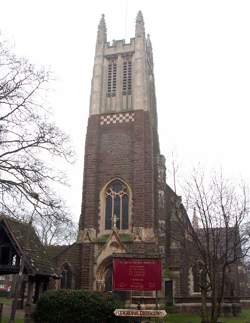
St Agnes' Church, Moseley

St Agnes Church, Moseley is a Grade II listed parish church in the Church of England in Moseley, Birmingham. == History == It was designed by the architect...

Swanshurst Park

Swanshurst Park is a public park in Birmingham, England, that is managed by Birmingham City Council. == Geography == The park is between Moseley and Billesley...

Moseley Bog

Moseley Bog and Joy's Wood Local Nature Reserve, formerly The Dell, is a Local Nature Reserve in the Moseley area of Birmingham, England, with an area...

Swanshurst School

Swanshurst School is a secondary school and sixth form for girls aged 11 to 19 years, located in Birmingham, England.It is a community school administered...

Moseley School

Moseley School – full name Moseley School and Sixth Form – is a coeducational secondary school and sixth form located in the Moseley area of Birmingham...

Springfield, Birmingham

Springfield is a ward in south east Birmingham, England, created in 2004 from much of the old Sparkhill ward. It is a part of the formal district of Hall...

Moseley and Kings Heath (ward)

Moseley and Kings Heath is a ward within the constituency of Hall Green, covering the greater part of the Moseley and Kings Heath areas of Birmingham,...

Nearby Amenities

Located within 500m of 52.435385,-1.8726623
Telephone
Booth: KXPlus
Covered: booth
Lat/Long: 52.4380299/-1.8702293
Post Box
Note: No information sheet on the box
Post Box Type: pillar
Ref: B13 191
Lat/Long: 52.4380392/-1.8704643
Turning Circle
Source: bing
Lat/Long: 52.4314705/-1.8744085
Recycling
Lat/Long: 52.4342874/-1.8692173
Post Box
Post Box Type: pillar
Ref: B13 403
Royal Cypher: GVIR
Royal Cypher Wikidata: Q33102169
Lat/Long: 52.4346674/-1.8688856
Bus Stop
Yardley Wood Rd / Saint Agnes Rd
Bus: yes
Naptan AtcoCode: 43000420301
Naptan Bearing: S
Naptan BusStopType: MKD
Naptan CommonName: Saint Agnes Rd
Naptan Indicator: opp
Naptan NaptanCode: nwmgmdwp
Naptan PlusbusZoneRef: BHAMNWS
Naptan Status: ACT
Naptan StopType: BCT
Naptan Street: YARDLEY WOOD RD
Naptan Towards: Yardley Wood
Naptan Verified: no
Public Transport: platform
Route Ref: 2;3
Shelter: no
Source: WMCA
Towards: Yardley Wood
Lat/Long: 52.439294/-1.8712474
Bus Stop
Yardley Wood Rd / Saint Agnes Rd
NaPTANAreaCode: 43000420302
Asset Ref: 609029
Bus: yes
Layby: yes
Naptan AtcoCode: 43000420302
Naptan Bearing: N
Naptan BusStopType: MKD
Naptan CommonName: Saint Agnes Rd
Naptan Indicator: adj
Naptan NaptanCode: nwmgmdwt
Naptan PlusbusZoneRef: BHAMNWS
Naptan Status: ACT
Naptan StopType: BCT
Naptan Street: YARDLEY WOOD RD
Naptan Towards: Birmingham
Public Transport: platform
Route Ref: 2;3
Shelter: yes
Shelter Ref: 609029
Source: WMCA
Towards: Birmingham
Lat/Long: 52.4392351/-1.8715775
Bus Stop
Yardley Wood Rd / Windermere Rd
Bus: yes
Naptan AtcoCode: 43000421401
Naptan Bearing: N
Naptan BusStopType: MKD
Naptan CommonName: Windermere Rd
Naptan Indicator: opp
Naptan NaptanCode: nwmgmgap
Naptan PlusbusZoneRef: BHAMNWS
Naptan Status: ACT
Naptan StopType: BCT
Naptan Street: YARDLEY WOOD RD
Naptan Towards: Birmingham
Public Transport: platform
Route Ref: 2;3
Shelter: no
Source: WMCA
Towards: Birmingham
Lat/Long: 52.4369089/-1.8694056
Bus Stop
Yardley Wood Rd / Windermere Rd
Bus: yes
Naptan AtcoCode: 43000421402
Naptan Bearing: S
Naptan BusStopType: MKD
Naptan CommonName: Windermere Rd
Naptan Indicator: adj
Naptan NaptanCode: nwmgmgat
Naptan PlusbusZoneRef: BHAMNWS
Naptan Status: ACT
Naptan StopType: BCT
Naptan Street: YARDLEY WOOD RD
Naptan Towards: Yardley Wood
Public Transport: platform
Route Ref: 2;3
Shelter: no
Source: WMCA
Towards: Yardley Wood
Lat/Long: 52.4367262/-1.8691313
Bus Stop
Yardley Wood Rd / Swanshurst Lane
NaPTANAreaCode: 43000421502
Asset Ref: 610681
Bus: yes
Naptan AtcoCode: 43000421502
Naptan Bearing: N
Naptan BusStopType: MKD
Naptan CommonName: Swanshurst Lane
Naptan Indicator: opp
Naptan NaptanCode: nwmgmgaw
Naptan PlusbusZoneRef: BHAMNWS
Naptan Status: ACT
Naptan StopType: BCT
Naptan Street: YARDLEY WOOD RD
Naptan Towards: Birmingham
Public Transport: platform
Route Ref: 2;3;11A
Shelter: yes
Shelter Ref: 610681
Source: WMCA
Lat/Long: 52.4343312/-1.8694101
Bus Stop
Yardley Wood Rd / Swanshurst Lane
NaPTANAreaCode: 43000421503
Asset Ref: 610607
Bus: yes
Naptan AtcoCode: 43000421503
Naptan Bearing: S
Naptan BusStopType: MKD
Naptan CommonName: Swanshurst Lane
Naptan Indicator: adj
Naptan NaptanCode: nwmgmgda
Naptan PlusbusZoneRef: BHAMNWS
Naptan Status: ACT
Naptan StopType: BCT
Naptan Street: YARDLEY WOOD RD
Naptan Towards: Kings Heath
Public Transport: platform
Route Ref: 11C
Shelter: yes
Shelter Ref: 610607
Source: WMCA
Towards: Kings Heath
Lat/Long: 52.4340524/-1.8691515
Bus Stop
Yardley Wood Rd / Swanshurst Lane
NaPTANAreaCode: 43000421504
Asset Ref: 610608
Bus: yes
Naptan AtcoCode: 43000421504
Naptan Bearing: S
Naptan BusStopType: MKD
Naptan CommonName: Swanshurst Lane
Naptan Indicator: adj
Naptan NaptanCode: nwmgmgdg
Naptan PlusbusZoneRef: BHAMNWS
Naptan Status: ACT
Naptan StopType: BCT
Naptan Street: YARDLEY WOOD RD
Naptan Towards: Yardley Wood
Public Transport: platform
Route Ref: 2;3
Shelter: yes
Shelter Ref: 610608
Source: WMCA
Lat/Long: 52.4341833/-1.86922
Bus Stop
Swanshurst Lane / Meadow View
Bench: no
Bus: yes
Naptan AtcoCode: 43000421701
Naptan Bearing: E
Naptan BusStopType: MKD
Naptan CommonName: Meadow View
Naptan Indicator: adj
Naptan NaptanCode: nwmdajgw
Naptan PlusbusZoneRef: BHAMNWS
Naptan Status: ACT
Naptan StopType: BCT
Naptan Street: SWANSHURST LANE
Naptan Towards: Hall Green
Public Transport: platform
Route Ref: 11A
Shelter: no
Source: WMCA
Lat/Long: 52.4341703/-1.8660108
Blue Plaque: George H. Lanchester
Historic: memorial
Note: Actually it is green plaque
Openplaques Id: 4575
Subject Wikidata: Q5541515
Subject Wikipedia: en:George Lanchester
Lat/Long: 52.4386611/-1.8762505
Crossing
Crossing: uncontrolled
Source: survey
Lat/Long: 52.4345235/-1.8694253
Bench
Source: survey
Lat/Long: 52.4390989/-1.8743114
Man Made: surveillance
Source: survey
Lat/Long: 52.4379326/-1.870596
Man Made: surveillance
Source: survey
Lat/Long: 52.4376363/-1.8700485
Power: substation
Source: survey
Lat/Long: 52.4343205/-1.8700787
Give Way
Source: bing
Lat/Long: 52.4346834/-1.8693022
Barrier: bollard
Source: survey
Lat/Long: 52.4327513/-1.8720445
Give Way
Lat/Long: 52.4390881/-1.874018
Give Way
Lat/Long: 52.4390692/-1.8744132
Communication Mobile Phone: yes
Man Made: mast
Source: survey
Tower Construction: tube
Tower Type: communication
Lat/Long: 52.4344273/-1.8692755
Joy's Wood
Historic: memorial
Source: survey
Wheelchair: limited
Lat/Long: 52.4366019/-1.8683122
Barrier: kissing_gate
Source: survey
Lat/Long: 52.4352166/-1.8692966
Barrier: kissing_gate
Source: survey
Lat/Long: 52.4359916/-1.8689928
Information: board
Source: survey
Tourism: information
Lat/Long: 52.436124/-1.8678783
Information: board
Source: survey
Tourism: information
Lat/Long: 52.4367445/-1.8683086
Source: survey
Tourism: artwork
Wheelchair: no
Lat/Long: 52.4372486/-1.8676781
Man Made: street_cabinet
Source: survey
Lat/Long: 52.4360147/-1.8689903
Man Made: street_cabinet
Street Cabinet: communications
Lat/Long: 52.4349992/-1.86941
Information: board
Source: survey
Tourism: information
Lat/Long: 52.4374126/-1.8661504
Man Made: street_cabinet
Source: survey
Street Cabinet: communications
Lat/Long: 52.434392/-1.869264
Man Made: street_cabinet
Source: survey
Street Cabinet: communications
Lat/Long: 52.4344055/-1.8692695
Man Made: street_cabinet
Source: survey
Street Cabinet: communications
Lat/Long: 52.4344525/-1.8692842
Man Made: street_cabinet
Source: survey
Street Cabinet: communications
Lat/Long: 52.4344727/-1.8692916
Source: survey
Tourism: artwork
Wheelchair: yes
Lat/Long: 52.4365607/-1.8689592
Give Way
Source: bing
Lat/Long: 52.4345674/-1.869442
Give Way
Source: bing
Lat/Long: 52.4346893/-1.8696539
Give Way
Source: bing
Lat/Long: 52.4348217/-1.8695426
Crossing
Crossing Island: yes
Lat/Long: 52.4377593/-1.8702815
Fire Hydrant
Emergency: fire_hydrant
Fire Hydrant Type: underground
Operator: WMFS
Source: survey
Lat/Long: 52.4346206/-1.8696874
Fire Hydrant
Emergency: fire_hydrant
Fire Hydrant Type: underground
Operator: WMFS
Source: survey
Lat/Long: 52.434807/-1.8693937
Generator Method: photovoltaic
Generator Output Electricity: yes
Generator Source: solar
Generator Type: solar_photovoltaic_panel
Location: roof
Power: generator
Lat/Long: 52.4334338/-1.8694554
Camera Type: dome
Man Made: surveillance
Surveillance: outdoor
Surveillance Type: camera
Lat/Long: 52.4374505/-1.8697718
Camera Type: dome
Man Made: surveillance
Surveillance: camera
Surveillance Type: camera
Lat/Long: 52.4348241/-1.869019
Camera Type: dome
Man Made: surveillance
Surveillance: camera
Surveillance Type: camera
Lat/Long: 52.4347528/-1.8686482
Source: OS
Lat/Long: 52.4350062/-1.8787436
Source: OS
Waterway: weir
Lat/Long: 52.435997/-1.8717784
The data included in this document is from www.openstreetmap.org. The data is made available under ODbL.

Have you been to Coldbath Pool?

Leave your review of Coldbath Pool below (or comments, questions and feedback).