Rake Brook Reservoir

Lake, Pool, Pond, Freshwater Marsh in Lancashire Chorley

England

Rake Brook Reservoir

Green Hill The ruins of Green Hill, a former farm in the Ryal Fold area of Tockholes.
Green Hill Credit: Greum

Rake Brook Reservoir is a picturesque freshwater body located in the county of Lancashire, England. Situated within the rural region of Rossendale, it serves as an important water source for the surrounding areas. The reservoir covers an area of approximately 10 acres, making it a significant body of water within the local landscape.

The reservoir is nestled amidst the serene beauty of the Lancashire countryside, surrounded by rolling hills and lush vegetation. It is fed by Rake Brook, a small stream that flows into the reservoir, ensuring a constant supply of freshwater. The water in Rake Brook Reservoir is mainly used for domestic and agricultural purposes.

The reservoir itself resembles a large pool or lake, with calm and clear waters. It is a popular spot for fishing enthusiasts, who are drawn to the abundance of fish species found within its depths. Anglers can be seen casting their lines from the banks or from small boats, hoping to catch trout, perch, or pike.

The surrounding area of Rake Brook Reservoir is home to a diverse range of wildlife. It provides a habitat for various bird species, including ducks, swans, and herons, which can often be seen gracefully gliding across the water. The tranquil environment also attracts other animals such as foxes, rabbits, and squirrels.

Rake Brook Reservoir offers a peaceful retreat for nature lovers and those seeking a moment of tranquility in the Lancashire countryside. Its scenic beauty and abundant wildlife make it a haven for outdoor enthusiasts, whether for fishing, birdwatching, or simply enjoying a leisurely stroll along its banks.

If you have any feedback on the listing, please let us know in the comments section below.

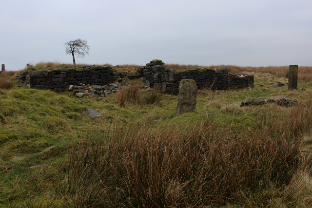
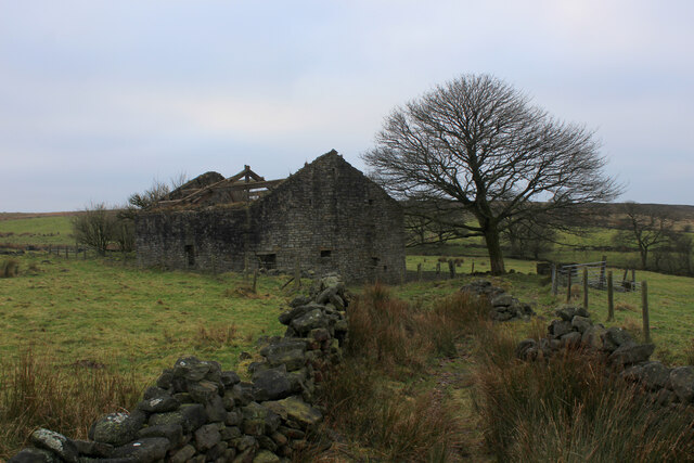
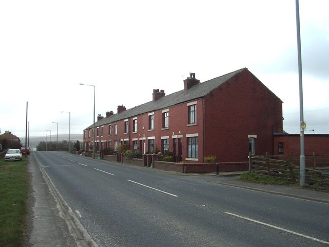
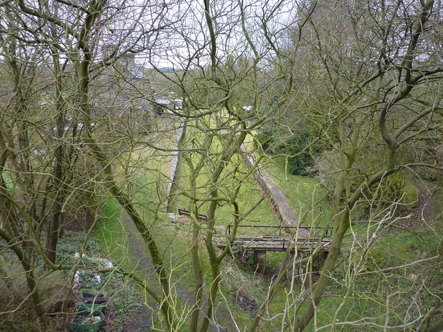
Rake Brook Reservoir Images

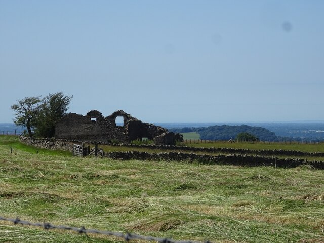
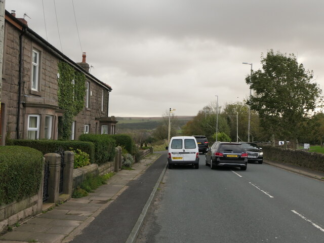
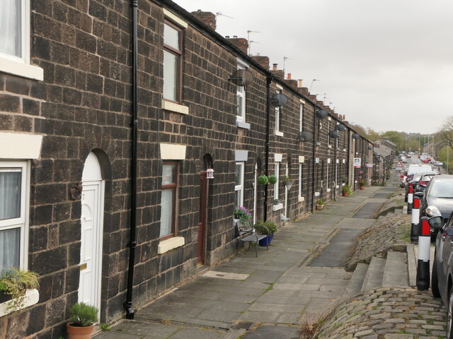
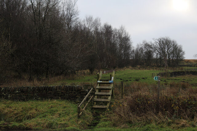
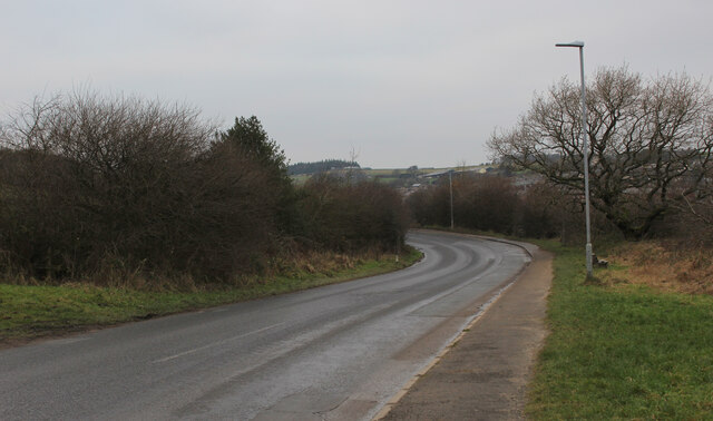
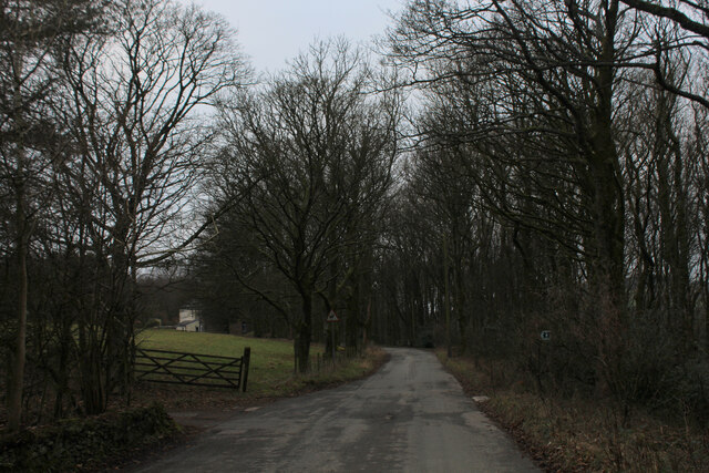
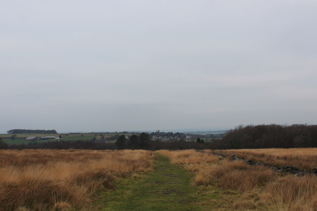
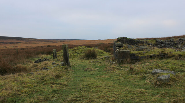
Images are sourced within 2km of 53.694722/-2.5369165 or Grid Reference SD6422. Thanks to Geograph Open Source API. All images are credited.

Green Hill The ruins of Green Hill, a former farm in the Ryal Fold area of Tockholes.
Green Hill
The ruins of Green Hill, a former farm in the Ryal Fold area of Tockholes.
Higher Garstangs, Ryal Fold The ruins of a wall at Higher Garstangs, a former home in Ryal Fold, Tockholes.
Higher Garstangs, Ryal Fold
The ruins of a wall at Higher Garstangs, a former home in Ryal Fold, Tockholes.
A675, Edge End
A675, Edge End
Gritstone terrace, Abbey Village
Car park, Ryal Fold The Tockholes woodland is over the road.
Car park, Ryal Fold
The Tockholes woodland is over the road.
River Roddlesworth Looking down from Mill Lane which slowly descends to the level of the river from Slipper Lowe.
River Roddlesworth
Looking down from Mill Lane which slowly descends to the level of the river from Slipper Lowe.
Mill Lane Passing through Roddlesworth No. 4 Plantation. The footpath marker on the tree to the left is a bit of a mystery. There is a path marked on the map a few yards further south, and there isn't much at this point to reveal a navigable path. I didn't test it.
Mill Lane
Passing through Roddlesworth No. 4 Plantation. The footpath marker on the tree to the left is a bit of a mystery. There is a path marked on the map a few yards further south, and there isn't much at this point to reveal a navigable path. I didn't test it.
Mill Lane leaving Roddlesworth Wood The status of this lane is a permitted bridleway, but it sees to be a long-established route.
Mill Lane leaving Roddlesworth Wood
The status of this lane is a permitted bridleway, but it sees to be a long-established route.
Footpath leaving Roddlesworth Lane The path cuts across from Cliffe Fold Barn to the A675.
Footpath leaving Roddlesworth Lane
The path cuts across from Cliffe Fold Barn to the A675.
Fields for grazing near Roddlesworth Moorland grazing land with a distant view of Bowland.
Fields for grazing near Roddlesworth
Moorland grazing land with a distant view of Bowland.
River Roddlesworth Looking upstream from the Mill Lane bridge.
River Roddlesworth
Looking upstream from the Mill Lane bridge.
Ladder Stile off Dole Lane The path ascends beside the now abandoned Central Quarry near Abbey Village
Ladder Stile off Dole Lane
The path ascends beside the now abandoned Central Quarry near Abbey Village
Road between Withnell and Abbey Village
Twistmoor Lane The lane heads for Withnell Quarry, before becoming Butterworth Brow and descending into the village of Brinscall
Twistmoor Lane
The lane heads for Withnell Quarry, before becoming Butterworth Brow and descending into the village of Brinscall
Moorland Track on Millstone Edge Heading north towards Twistmoor Lane
Moorland Track on Millstone Edge
Heading north towards Twistmoor Lane
Ruin on Withnell Moor (1) The remains of a substantial building, probably a farmhouse lay isolated on Withnell Moor.
There are several such features on these West Pennine moors.
<a href="https://www.geograph.org.uk/photo/7050750">SD6420 : Ruin on Withnell Moor (2)</a>
Ruin on Withnell Moor (1)
The remains of a substantial building, probably a farmhouse lay isolated on Withnell Moor. There are several such features on these West Pennine moors. SD6420 : Ruin on Withnell Moor (2)
Ruin on Withnell Moor (2) Very little remains of what looked like a substantial farmhouse. There are several such features like this in the vicinity.
<a href="https://www.geograph.org.uk/photo/7050728">SD6420 : Ruin on Withnell Moor (1)</a>
Ruin on Withnell Moor (2)
Very little remains of what looked like a substantial farmhouse. There are several such features like this in the vicinity. SD6420 : Ruin on Withnell Moor (1)
Abandoned Farm Building above Ratten Clough from the East One of several ruined farms and buildings dotted around the surrounding area - this one is more intact than most.
<a href="https://www.geograph.org.uk/photo/7051055">SD6320 : Abandoned Farm Building above Ratten Clough from the South West</a>
Abandoned Farm Building above Ratten Clough from the East
One of several ruined farms and buildings dotted around the surrounding area - this one is more intact than most. SD6320 : Abandoned Farm Building above Ratten Clough from the South West
Show me another place!

Rake Brook Reservoir is located at Grid Ref: SD6422 (Lat: 53.694722, Lng: -2.5369165)

Administrative County: Lancashire

District: Chorley

Police Authority: Lancashire

What 3 Words

///quest.paintings.dizzy. Near Brinscall, Lancashire

Related Wikis

Rake Brook Reservoir

Rake Brook Reservoir is a reservoir fed by two streams, including the eponymous Rake Brook, a tributary of the River Roddlesworth in Lancashire, England...

Abbey Village

Abbey Village is a village in the English county of Lancashire and the constituency of Chorley. It is located on the A675 road, six miles (10 km) from...

Lower Roddlesworth Reservoir

Lower Roddlesworth Reservoir is a reservoir on the River Roddlesworth close to Abbey Village in Lancashire, England. The reservoir is close to Upper Roddlesworth...

Withnell railway station

Withnell railway station was a railway station that served Abbey Village and Withnell, in Lancashire, England. == History == The station was opened by...

Nearby Amenities

Located within 500m of 53.694722,-2.5369165
Roddlesworth No 2 Plantation
Natural: wood
Source: OS_OpenData_StreetView
Lat/Long: 53.6943869/-2.5319322
Roddlesworth Wood
Natural: wood
Source: OS_OpenData_StreetView
Lat/Long: 53.6971691/-2.5331338
Bensons Wood
Natural: wood
Source: OS_OpenData_StreetView
Lat/Long: 53.6987444/-2.5368889
Pub
Hare and Hounds
Addr City: Chorley
Addr Postcode: PR6 8DP
Addr Street: Bolton Road
Addr Village: Abbey Village
Outdoor Seating: yes
Lat/Long: 53.6969223/-2.5421655
Bus Stop
Gladstone Terrace
Bus: yes
Naptan AtcoCode: 2500LAA16331
Naptan CommonName: Gladstone Terrace
Naptan Indicator: adj
Naptan NaptanCode: lanpadtw
Naptan Verified: no
Public Transport: platform
Lat/Long: 53.6944655/-2.5443493
Bus Stop
Hare and Hounds
Bench: no
Bus: yes
Naptan AtcoCode: 2500ABY00001
Naptan CommonName: Hare and Hounds
Naptan Indicator: opp
Naptan NaptanCode: lanpamta
Naptan Verified: no
Public Transport: platform
Shelter: no
Lat/Long: 53.6964774/-2.542679
Bus Stop
Hare and Hounds
Bench: no
Bin: no
Bus: yes
Naptan AtcoCode: 2500498
Naptan CommonName: Hare and Hounds
Naptan Indicator: o/s
Naptan NaptanCode: lanawjwm
Naptan Verified: no
Public Transport: platform
Shelter: no
Lat/Long: 53.6965593/-2.5423171
Parking
Hare & Hounds
Access: customers
Capacity: 20
Parking: surface
Surface: compacted
Lat/Long: 53.6967835/-2.542073
Wood's Fold Farm
Place: farm
Lat/Long: 53.6922058/-2.5415862
The data included in this document is from www.openstreetmap.org. The data is made available under ODbL.

Have you been to Rake Brook Reservoir?

Leave your review of Rake Brook Reservoir below (or comments, questions and feedback).