Red Lee Wood
Wood, Forest in Lancashire
England
Red Lee Wood
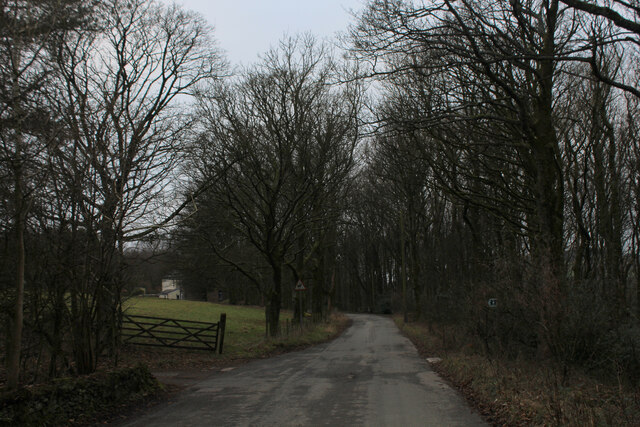
Red Lee Wood is a serene and picturesque forest located in Lancashire, England. Situated in the heart of the county, this woodland area spans across a vast expanse of approximately 100 acres, making it a popular destination for nature lovers and outdoor enthusiasts.
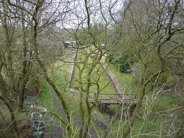
The forest is renowned for its rich biodiversity and stunning natural beauty. It boasts an impressive variety of trees, including oak, beech, and birch, which create a dense canopy that filters sunlight and creates a tranquil atmosphere. The forest floor is carpeted with a vibrant array of wildflowers, ferns, and mosses, adding to the enchanting ambiance.
Red Lee Wood is also home to a diverse range of wildlife. Visitors may be lucky enough to spot elusive creatures such as deer, foxes, badgers, and a plethora of bird species, including woodpeckers, owls, and a variety of songbirds. The forest provides a vital habitat for these animals, offering shelter, food, and protection.
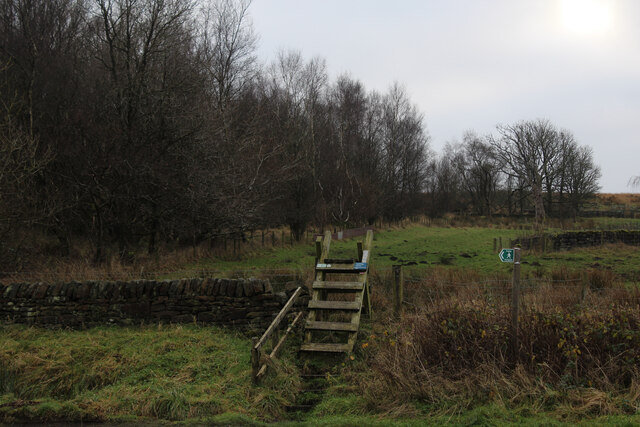
The forest features several well-maintained walking trails, allowing visitors to explore its natural wonders at their own pace. These paths wind through the woodland, offering breathtaking views and opportunities for peaceful contemplation. There are also designated picnic areas where visitors can relax and enjoy the tranquility of the surroundings.
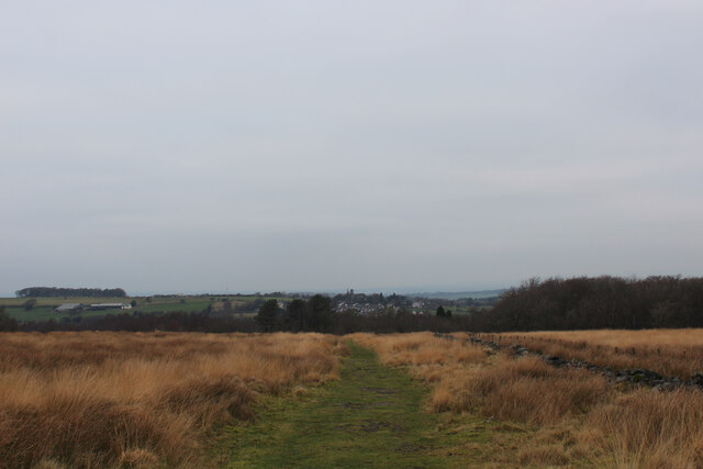
Red Lee Wood is a cherished gem in Lancashire, attracting locals and tourists alike. Whether it's for a leisurely walk, birdwatching, or simply immersing oneself in the beauty of nature, this forest offers an idyllic escape from the hustle and bustle of everyday life.
If you have any feedback on the listing, please let us know in the comments section below.
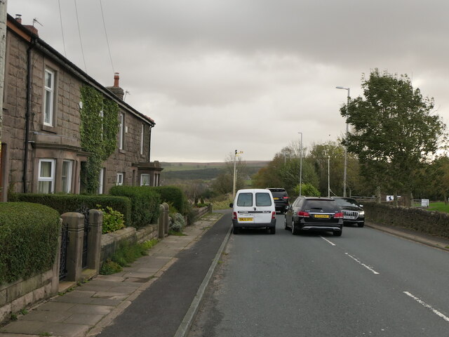
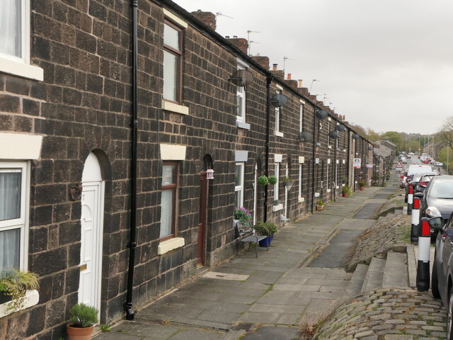
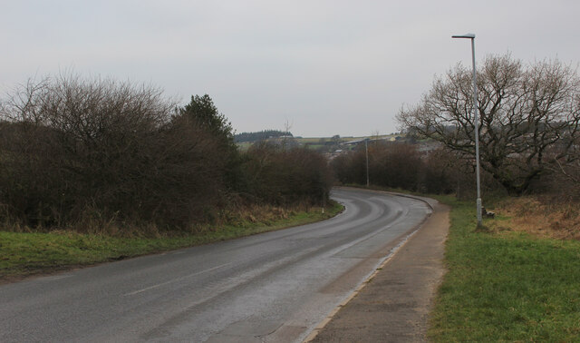
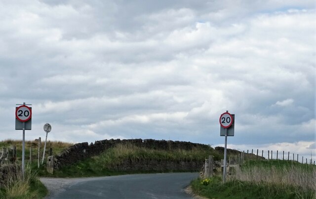
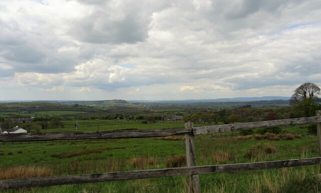
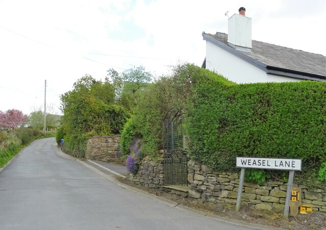
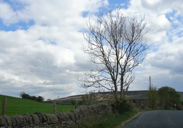
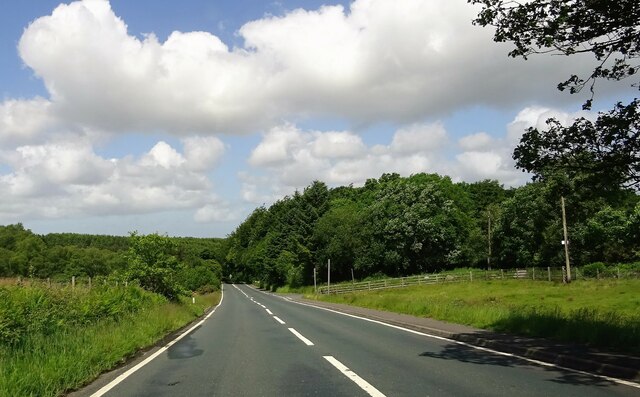
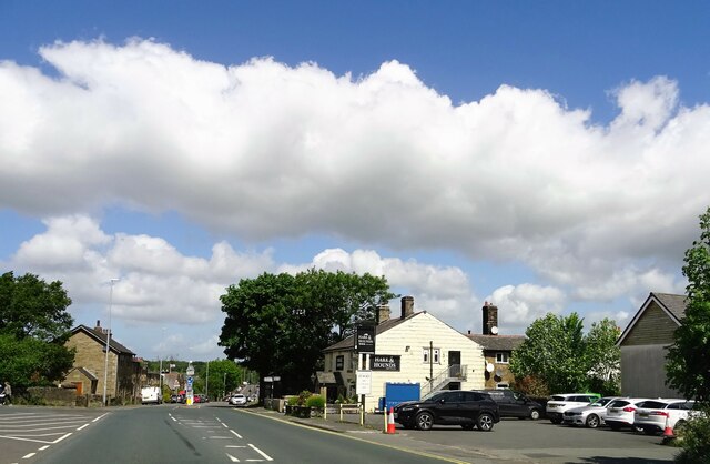
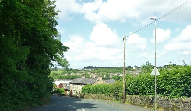
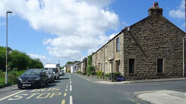
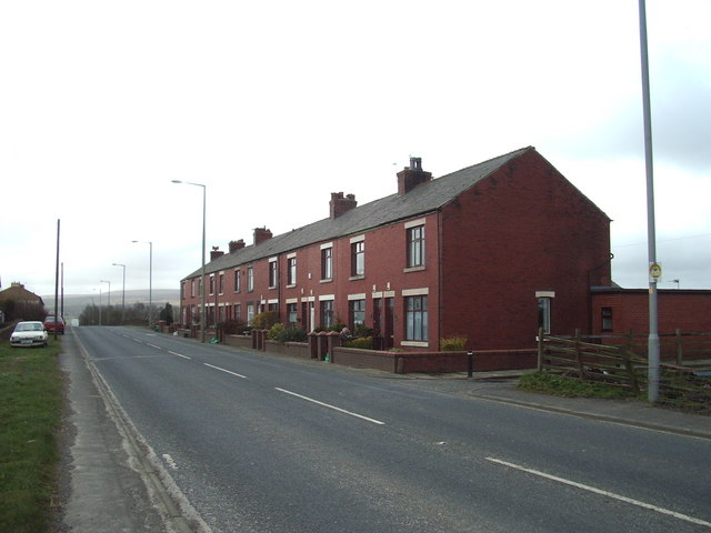
Red Lee Wood Images
Images are sourced within 2km of 53.701908/-2.5379623 or Grid Reference SD6422. Thanks to Geograph Open Source API. All images are credited.


Red Lee Wood is located at Grid Ref: SD6422 (Lat: 53.701908, Lng: -2.5379623)
Unitary Authority: Blackburn with Darwen
Police Authority: Lancashire
What 3 Words
///unsettled.announced.bill. Near Brinscall, Lancashire
Nearby Locations
Related Wikis

Abbey Village Reservoir
The reservoir north of Abbey Village on the River Roddlesworth - known as Close House Reservoir - is the latest addition to the reservoirs around this...
Abbey Village
Abbey Village is a village in the English county of Lancashire and the constituency of Chorley. It is located on the A675 road, six miles (10 km) from...
Withnell railway station
Withnell railway station was a railway station that served Abbey Village and Withnell, in Lancashire, England. == History == The station was opened by...

Rake Brook Reservoir
Rake Brook Reservoir is a reservoir fed by two streams, including the eponymous Rake Brook, a tributary of the River Roddlesworth in Lancashire, England...

Lower Roddlesworth Reservoir
Lower Roddlesworth Reservoir is a reservoir on the River Roddlesworth close to Abbey Village in Lancashire, England. The reservoir is close to Upper Roddlesworth...

Upper Roddlesworth Reservoir
Upper Roddlesworth Reservoir is a reservoir on the River Roddlesworth near Abbey Village in Lancashire, England. The reservoir is close to Lower Roddlesworth...

Roddlesworth
Roddlesworth is a hamlet in the parish of Withnell in Lancashire, England. It lies on the road connecting Preston with Bolton. The name is first encountered...

Withnell
Withnell is a village and civil parish in the Borough of Chorley, Lancashire, England. According to the census of 2001, it had a population of 3,631, reducing...
Nearby Amenities
Located within 500m of 53.701908,-2.5379623Have you been to Red Lee Wood?
Leave your review of Red Lee Wood below (or comments, questions and feedback).