Roddlesworth Wood

Wood, Forest in Lancashire Chorley

England

Roddlesworth Wood

Green Hill The ruins of Green Hill, a former farm in the Ryal Fold area of Tockholes.
Green Hill Credit: Greum

Roddlesworth Wood is a picturesque woodland situated in the county of Lancashire, England. Covering an area of approximately 220 acres, it is located near the village of Withnell, within the larger district of Chorley. The wood is part of the larger Witton Country Park and is a popular destination for nature enthusiasts, hikers, and families.

The woodland boasts a diverse range of tree species, including oak, birch, beech, and hawthorn, creating a stunning and varied landscape throughout the year. In spring, the forest floor is adorned with a colorful carpet of wildflowers, while in autumn, the trees transform into a vibrant tapestry of reds, oranges, and yellows.

Roddlesworth Wood is home to a rich array of wildlife, making it a haven for nature lovers. Visitors may spot a variety of bird species, such as woodpeckers, nuthatches, and jays. Squirrels can be seen darting through the trees, while rabbits and deer occasionally make appearances.

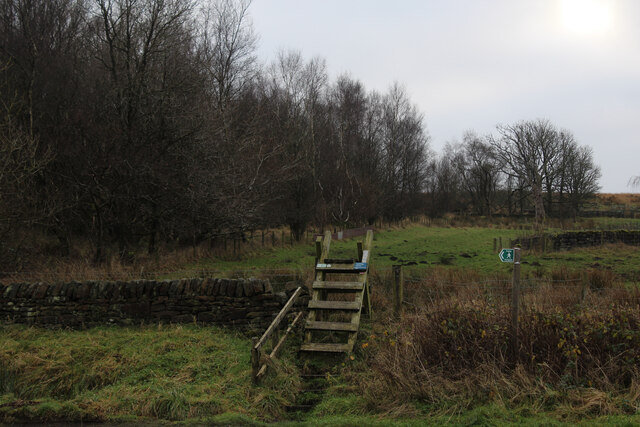
The woodland is crisscrossed with a network of well-maintained footpaths, allowing visitors to explore its beauty at their leisure. These pathways lead to several charming features, including a tranquil reservoir, quaint bridges, and secluded picnic spots.

Roddlesworth Wood provides a peaceful escape from the hustle and bustle of everyday life, offering visitors the chance to immerse themselves in nature's tranquility. Whether it's a leisurely stroll, a family outing, or a birdwatching expedition, this Lancashire gem is a must-visit destination for anyone seeking solace in the great outdoors.

If you have any feedback on the listing, please let us know in the comments section below.

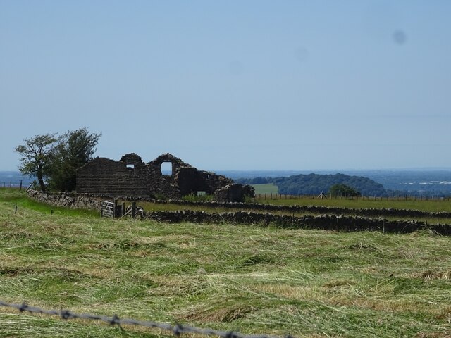
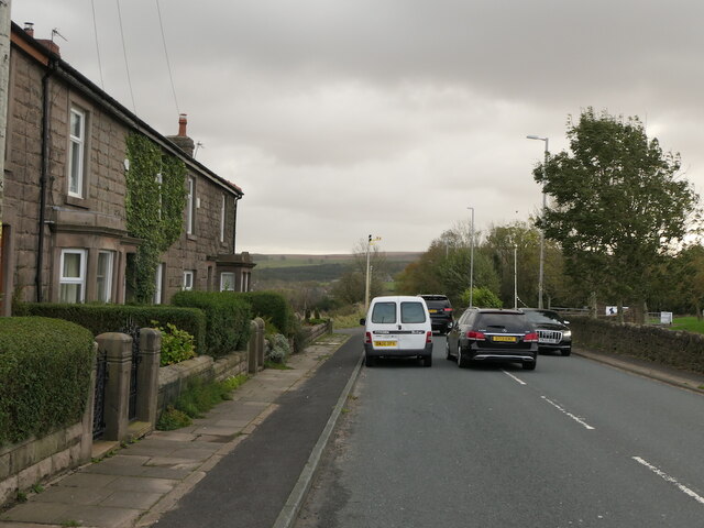
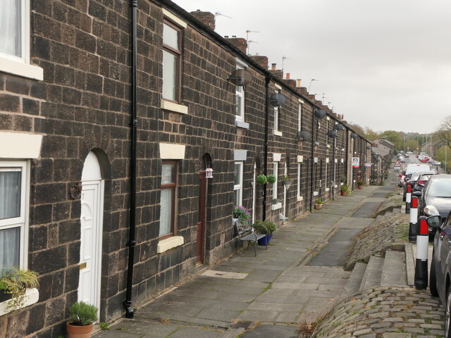
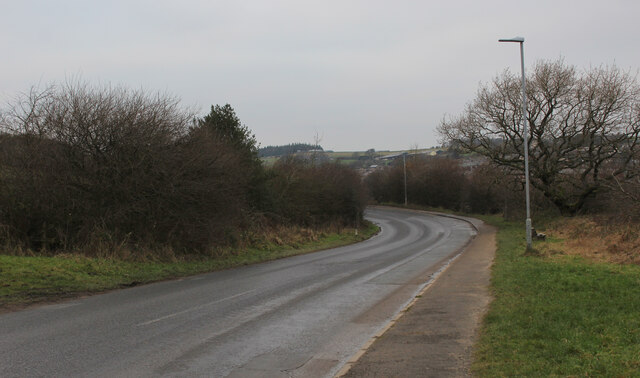
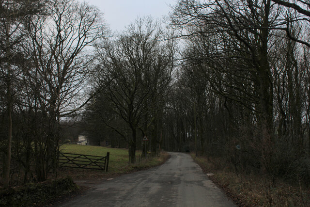
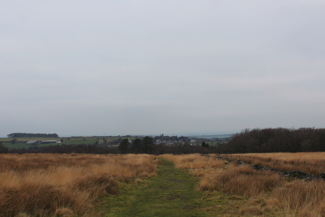
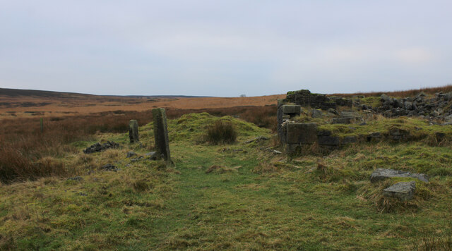
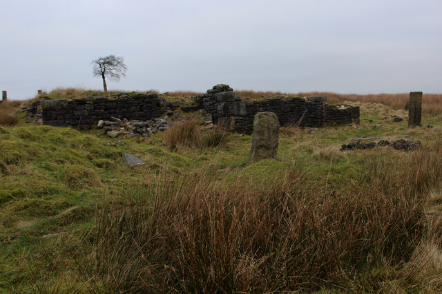
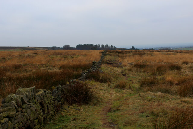
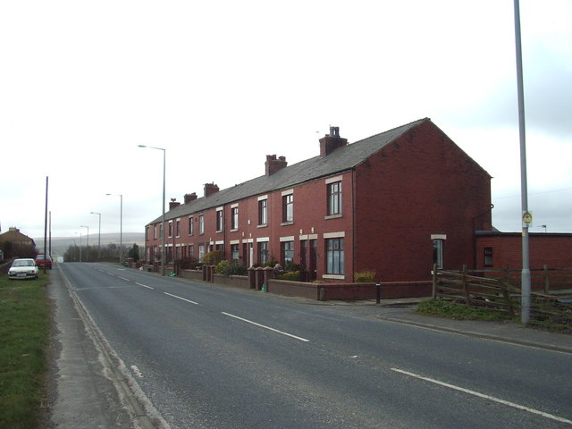
Roddlesworth Wood Images

Images are sourced within 2km of 53.696954/-2.532371 or Grid Reference SD6422. Thanks to Geograph Open Source API. All images are credited.

Green Hill The ruins of Green Hill, a former farm in the Ryal Fold area of Tockholes.
Green Hill
The ruins of Green Hill, a former farm in the Ryal Fold area of Tockholes.
Higher Garstangs, Ryal Fold The ruins of a wall at Higher Garstangs, a former home in Ryal Fold, Tockholes.
Higher Garstangs, Ryal Fold
The ruins of a wall at Higher Garstangs, a former home in Ryal Fold, Tockholes.
A675, Edge End
A675, Edge End
Gritstone terrace, Abbey Village
Car park, Ryal Fold The Tockholes woodland is over the road.
Car park, Ryal Fold
The Tockholes woodland is over the road.
River Roddlesworth Looking down from Mill Lane which slowly descends to the level of the river from Slipper Lowe.
River Roddlesworth
Looking down from Mill Lane which slowly descends to the level of the river from Slipper Lowe.
Mill Lane Passing through Roddlesworth No. 4 Plantation. The footpath marker on the tree to the left is a bit of a mystery. There is a path marked on the map a few yards further south, and there isn't much at this point to reveal a navigable path. I didn't test it.
Mill Lane
Passing through Roddlesworth No. 4 Plantation. The footpath marker on the tree to the left is a bit of a mystery. There is a path marked on the map a few yards further south, and there isn't much at this point to reveal a navigable path. I didn't test it.
Mill Lane leaving Roddlesworth Wood The status of this lane is a permitted bridleway, but it sees to be a long-established route.
Mill Lane leaving Roddlesworth Wood
The status of this lane is a permitted bridleway, but it sees to be a long-established route.
Footpath leaving Roddlesworth Lane The path cuts across from Cliffe Fold Barn to the A675.
Footpath leaving Roddlesworth Lane
The path cuts across from Cliffe Fold Barn to the A675.
Fields for grazing near Roddlesworth Moorland grazing land with a distant view of Bowland.
Fields for grazing near Roddlesworth
Moorland grazing land with a distant view of Bowland.
River Roddlesworth Looking upstream from the Mill Lane bridge.
River Roddlesworth
Looking upstream from the Mill Lane bridge.
Ladder Stile off Dole Lane The path ascends beside the now abandoned Central Quarry near Abbey Village
Ladder Stile off Dole Lane
The path ascends beside the now abandoned Central Quarry near Abbey Village
Road between Withnell and Abbey Village
Twistmoor Lane The lane heads for Withnell Quarry, before becoming Butterworth Brow and descending into the village of Brinscall
Twistmoor Lane
The lane heads for Withnell Quarry, before becoming Butterworth Brow and descending into the village of Brinscall
Moorland Track on Millstone Edge Heading north towards Twistmoor Lane
Moorland Track on Millstone Edge
Heading north towards Twistmoor Lane
Ruin on Withnell Moor (1) The remains of a substantial building, probably a farmhouse lay isolated on Withnell Moor.
There are several such features on these West Pennine moors.
<a href="https://www.geograph.org.uk/photo/7050750">SD6420 : Ruin on Withnell Moor (2)</a>
Ruin on Withnell Moor (1)
The remains of a substantial building, probably a farmhouse lay isolated on Withnell Moor. There are several such features on these West Pennine moors. SD6420 : Ruin on Withnell Moor (2)
Ruin on Withnell Moor (2) Very little remains of what looked like a substantial farmhouse. There are several such features like this in the vicinity.
<a href="https://www.geograph.org.uk/photo/7050728">SD6420 : Ruin on Withnell Moor (1)</a>
Ruin on Withnell Moor (2)
Very little remains of what looked like a substantial farmhouse. There are several such features like this in the vicinity. SD6420 : Ruin on Withnell Moor (1)
Footpath on Withnell Moor Travelling west the map shows the footpath runs to the left of the wall, while in reality the route appears on the opposite side.
Footpath on Withnell Moor
Travelling west the map shows the footpath runs to the left of the wall, while in reality the route appears on the opposite side.
Show me another place!

Roddlesworth Wood is located at Grid Ref: SD6422 (Lat: 53.696954, Lng: -2.532371)

Administrative County: Lancashire

District: Chorley

Police Authority: Lancashire

What 3 Words

///stored.pounces.urban. Near Brinscall, Lancashire

Related Wikis

Lower Roddlesworth Reservoir

Lower Roddlesworth Reservoir is a reservoir on the River Roddlesworth close to Abbey Village in Lancashire, England. The reservoir is close to Upper Roddlesworth...

Rake Brook Reservoir

Rake Brook Reservoir is a reservoir fed by two streams, including the eponymous Rake Brook, a tributary of the River Roddlesworth in Lancashire, England...

Abbey Village

Abbey Village is a village in the English county of Lancashire and the constituency of Chorley. It is located on the A675 road, six miles (10 km) from...

Roddlesworth

Roddlesworth is a hamlet in the parish of Withnell in Lancashire, England. It lies on the road connecting Preston with Bolton. The name is first encountered...

Related Videos

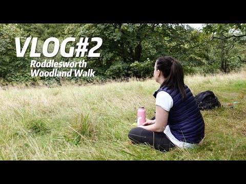
Roddlesworth Woodland Walk - VLOG#2

Hello all. In this VLOG we went for a walk in Roddlesworth Woods near Chorley, north of Manchester for some peace and quiet ...

Amble from White Coppice to Great Hill following Dean Black Brook WATERFALLS

Early morning sunshine in April provides the perfect opportunity to have a relaxed amble and brew a fresh ground coffee on the ...

Walk with the kids

A walk up to Great Hill.

Nearby Amenities

Located within 500m of 53.696954,-2.532371
Roddlesworth No 2 Plantation
Natural: wood
Source: OS_OpenData_StreetView
Lat/Long: 53.6943869/-2.5319322
Roddlesworth Wood
Natural: wood
Source: OS_OpenData_StreetView
Lat/Long: 53.6971691/-2.5331338
Bensons Wood
Natural: wood
Source: OS_OpenData_StreetView
Lat/Long: 53.6987444/-2.5368889
Red Lee Farm
Place: farm
Lat/Long: 53.7002175/-2.535055
Higher Red Lee Farm
Place: farm
Lat/Long: 53.7004461/-2.5355727
The data included in this document is from www.openstreetmap.org. The data is made available under ODbL.

Have you been to Roddlesworth Wood?

Leave your review of Roddlesworth Wood below (or comments, questions and feedback).