Lower Parker's Hole

Lake, Pool, Pond, Freshwater Marsh in Monmouthshire

Wales

Lower Parker's Hole

Grass Ski Centre An unprepossessing drive to a rare outdoor activity.
Grass Ski Centre Credit: Jonathan Billinger

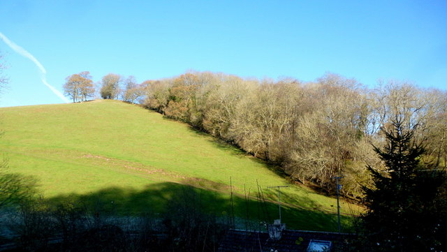
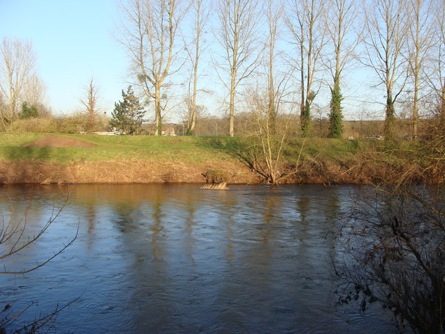
Lower Parker's Hole is a picturesque freshwater marsh located in Monmouthshire, Wales. Nestled amidst the rolling countryside, this serene natural wonder boasts a unique combination of a lake, pool, pond, and freshwater marsh, making it a haven for biodiversity and a popular destination for nature enthusiasts.

The main feature of Lower Parker's Hole is its expansive lake, which stretches across several acres. The crystal-clear waters of the lake are home to various species of fish, including trout and perch, attracting fishing enthusiasts from far and wide. The lake's calm surface is often adorned with lily pads and other aquatic plants, adding to its scenic beauty.

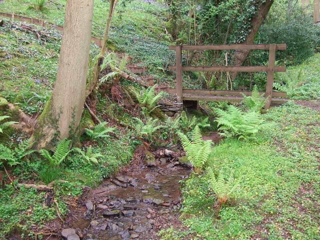
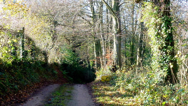
Adjacent to the lake lies a smaller pool, offering a more intimate setting for visitors seeking tranquility. This pool is teeming with an array of water-loving plants, such as water lilies and reeds, providing a habitat for a diverse range of wildlife. Birdwatchers can spot numerous species of birds, including herons, kingfishers, and ducks, as they gracefully navigate through the reeds and shallows.

Further into the marsh, a serene pond can be found, surrounded by lush vegetation and tall grasses. This pond acts as a breeding ground for amphibians, attracting frogs, toads, and newts. The gentle croaking of frogs can often be heard echoing through the marsh, adding to its enchanting ambiance.

Overall, Lower Parker's Hole is a natural gem in Monmouthshire, offering a unique blend of a lake, pool, pond, and freshwater marsh. Its diverse habitats and abundant wildlife make it an ideal destination for nature lovers, providing a tranquil escape from the hustle and bustle of everyday life.

If you have any feedback on the listing, please let us know in the comments section below.

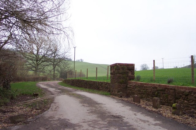
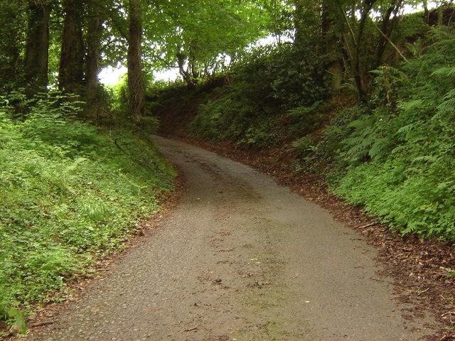
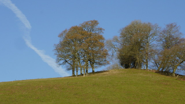
Lower Parker's Hole Images

Images are sourced within 2km of 51.682782/-2.8891981 or Grid Reference ST3898. Thanks to Geograph Open Source API. All images are credited.

Grass Ski Centre An unprepossessing drive to a rare outdoor activity.
Grass Ski Centre
An unprepossessing drive to a rare outdoor activity.
Lane rising to meet field boundary, Gwern ddu Hill
Foot bridge in Llewelyn's Dingle Llewelyn's dingle is part of Gwent Wildlife Trust's Springdale Farm Nature Reserve
Foot bridge in Llewelyn's Dingle
Llewelyn's dingle is part of Gwent Wildlife Trust's Springdale Farm Nature Reserve
Oaks on a hilltop Crisp early winter shot with vestiges of autumn colour still hanging on.
Oaks on a hilltop
Crisp early winter shot with vestiges of autumn colour still hanging on.
Woodland, hill and Llewellyn's Dingle The hilltop is captured in Macro in <a href="https://www.geograph.org.uk/photo/4267511">ST4099 : Oaks on a hilltop</a>. A dingle is a Marches term for a steep wooded valley.
Woodland, hill and Llewellyn's Dingle
The hilltop is captured in Macro in ST4099 : Oaks on a hilltop. A dingle is a Marches term for a steep wooded valley.
Gwern Ddu Road The road drops steeply from here.
Cwm-Byr Wood, with beech, to the right.
Gwern Ddu Road
The road drops steeply from here. Cwm-Byr Wood, with beech, to the right.
Llanbadoc Church
Llanbadoc Church
Memorial  to Alfred Russel Wallace, Llanbadoc This memorial to Alfred Russel Wallace (1823-1913) stands just outside the wall of the churchyard of Llanbadoc where he was baptised.  Alfred Russel Wallace who was a self-taught scientist, world traveller, social reformer and originator of the theory of evolution independently of Darwin in 1858. He was born in nearby Kensington Cottage where he lived until the age of five. To see the plaque <a href="https://www.geograph.org.uk/photo/1268343">SO3700 : Alfred Russel Wallace memorial</a> for more information see: <span class="nowrap"><a title="http://en.wikipedia.org/wiki/Alfred_Russel_Wallace" rel="nofollow ugc noopener" href="http://en.wikipedia.org/wiki/Alfred_Russel_Wallace">Link</a><img style="margin-left:2px;" alt="External link" title="External link - shift click to open in new window" src="https://s1.geograph.org.uk/img/external.png" width="10" height="10"/></span>
Memorial to Alfred Russel Wallace, Llanbadoc
This memorial to Alfred Russel Wallace (1823-1913) stands just outside the wall of the churchyard of Llanbadoc where he was baptised. Alfred Russel Wallace who was a self-taught scientist, world traveller, social reformer and originator of the theory of evolution independently of Darwin in 1858. He was born in nearby Kensington Cottage where he lived until the age of five. To see the plaque SO3700 : Alfred Russel Wallace memorial for more information see: LinkExternal link
Alfred Russel Wallace memorial Memorial plaque to Alfred Russel Wallace (1823-1913) who along with Charles Darwin developed his theory of evolution by natural selection.
Alfred Russel Wallace memorial
Memorial plaque to Alfred Russel Wallace (1823-1913) who along with Charles Darwin developed his theory of evolution by natural selection.
Llanbadoc Church Llanbadoc church is dedicated to St Madoc and was the church where Alfred Russel Wallace was baptised, see: <a href="https://www.geograph.org.uk/photo/1268343">SO3700 : Alfred Russel Wallace memorial</a> and <span class="nowrap"><a title="http://en.wikipedia.org/wiki/Alfred_Russel_Wallace" rel="nofollow ugc noopener" href="http://en.wikipedia.org/wiki/Alfred_Russel_Wallace">Link</a><img style="margin-left:2px;" alt="External link" title="External link - shift click to open in new window" src="https://s1.geograph.org.uk/img/external.png" width="10" height="10"/></span>
Llanbadoc Church
Llanbadoc church is dedicated to St Madoc and was the church where Alfred Russel Wallace was baptised, see: SO3700 : Alfred Russel Wallace memorial and LinkExternal link
Llanbadoc Church The porch and tower of St Madoc's church, Llanbadoc.
Llanbadoc Church
The porch and tower of St Madoc's church, Llanbadoc.
Gravestone, Llanbadoc Churchyard
River Scene Near Llanbadoc The tranquil River Usk, looking towards the town of Usk. Taken from the footpath adjacent to Llanbadoc Church.
River Scene Near Llanbadoc
The tranquil River Usk, looking towards the town of Usk. Taken from the footpath adjacent to Llanbadoc Church.
Usk river bank from the car park at Llanbadoc Island
A449 - minor road overbridge near Cwmbir
Red phonebox, Llanbadoc At crossroads in Llanbadoc, a village near Usk in Monmouthshire.
Red phonebox, Llanbadoc
At crossroads in Llanbadoc, a village near Usk in Monmouthshire.
Welcome to Llanbadoc Island The welcome board is near an entrance to St Madoc's church in Llanbadoc, a village near Usk in Monmouthshire. Llanbadoc Island is not an island, but a recreation area alongside the River Usk.
Welcome to Llanbadoc Island
The welcome board is near an entrance to St Madoc's church in Llanbadoc, a village near Usk in Monmouthshire. Llanbadoc Island is not an island, but a recreation area alongside the River Usk.
Rural bus stop in Llanbadoc This side for buses to Usk. The bus stop is opposite St Madoc's Church.
Rural bus stop in Llanbadoc
This side for buses to Usk. The bus stop is opposite St Madoc's Church.
Show me another place!

Lower Parker's Hole is located at Grid Ref: ST3898 (Lat: 51.682782, Lng: -2.8891981)

Unitary Authority: Monmouthshire

Police Authority: Gwent

What 3 Words

///magnum.yelled.coder. Near Llanbadoc, Monmouthshire

Related Wikis

Llanllowell

Llanllowell (Welsh: Llanllywel) is a village in Monmouthshire, southeast Wales, in the United Kingdom. It is two miles southeast of Usk, in the community...
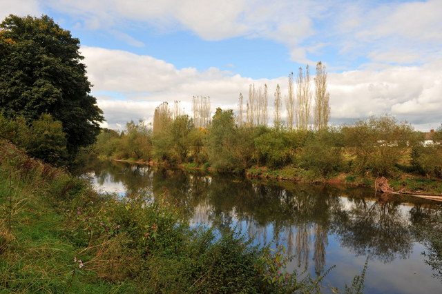
Olway Brook

The Olway Brook (Welsh: Nant Olwy) is a left bank tributary of the River Usk in Monmouthshire in south Wales. Arising from the confluence of several brooks...

Pentwyn, Llanllowell

Pentwyn, Llanllowell, Monmouthshire is a farmhouse dating from the mid-16th century. The house is Grade II* listed, with the adjacent barn having its own...

Llantrisant Fawr

Llantrisant Fawr is a community in Monmouthshire, Wales. Villages within the community include Llantrisant and Llanllowell. The community council has three...

The Cwm, Llantrisant, Monmouthshire

The Cwm, Llantrisant, Monmouthshire is a farmhouse dating from the 16th century. Expanded in both the 17th and 18th centuries, The Cwm is a Grade II* listed...

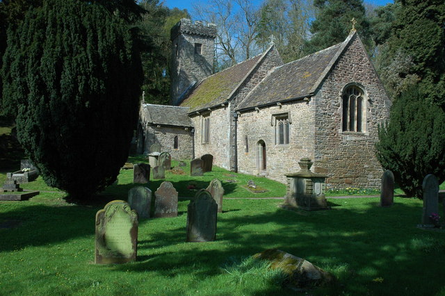
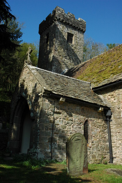
Church of St Peter, St Paul and St John, Llantrisant

The Church of St Peter, St Paul and St John, is the parish church of Llantrisant, Monmouthshire, Wales. Described by the architectural historian, John...

Llantrisant, Monmouthshire

Llantrisant () is a village in Monmouthshire, south east Wales, United Kingdom. The community population at the 2011 census was 475. == Location == Llantrisant...
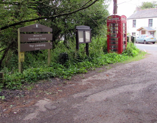
Llanbadoc

Llanbadoc (Welsh: Llanbadog Fawr) is a village and community in the county of Monmouthshire and the preserved county of Gwent in Wales. The population...

Related Videos

Inside a Listed Barn Conversion in Wales | Home Tour

Today we're inside an outstanding conversion of a 17th Century threshing barn with an attached stable and cart shed. Located in ...

Nearby Amenities

Located within 500m of 51.682782,-2.8891981
Direction: SSE
Generator Method: photovoltaic
Generator Output Electricity: yes
Generator Solar Modules: 16
Generator Source: solar
Generator Type: solar_photovoltaic_panel
Location: roof
Power: generator
Lat/Long: 51.682546/-2.8947486
The data included in this document is from www.openstreetmap.org. The data is made available under ODbL.

Have you been to Lower Parker's Hole?

Leave your review of Lower Parker's Hole below (or comments, questions and feedback).