Loch Lomishan

Lake, Pool, Pond, Freshwater Marsh in Caithness

Scotland

Loch Lomishan

View SE from A99 on Warth Hill Looking towards the coast at Skirza Head <a href="https://www.geograph.org.uk/gridref/ND3968">ND3968</a>.
View SE from A99 on Warth Hill Credit: Stanley Howe

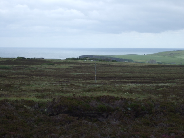
Loch Lomishan is a picturesque freshwater loch located in the county of Caithness, Scotland. It is nestled amidst the stunning Highland landscape, surrounded by rolling hills and lush vegetation. With a surface area of approximately 2 square kilometers, it serves as an important water body within the region.

The loch boasts crystal-clear waters, reflecting the scenic beauty of its surroundings. Its depth varies, ranging from shallow areas near the shorelines to deeper sections towards the center. Loch Lomishan is primarily fed by streams and springs that originate from the nearby hills, ensuring a constant flow of freshwater.

The flora and fauna found in and around Loch Lomishan are abundant and diverse. The surrounding marshes and wetlands provide a habitat for various aquatic plants, such as water lilies and reeds, creating a vibrant ecosystem. Bird enthusiasts can enjoy spotting a variety of species, including swans, ducks, and herons, which nest and feed along the shores of the loch.

The scenic beauty and tranquility of Loch Lomishan make it a popular destination for outdoor enthusiasts. Visitors can engage in a range of activities, including fishing, boating, and birdwatching. The loch is known for its abundant fish population, making it an ideal spot for anglers seeking trout and salmon.

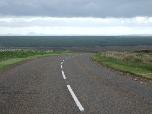
Accessible via a scenic drive through the stunning Caithness countryside, Loch Lomishan offers a serene and idyllic setting for those seeking to immerse themselves in nature. Whether it's a leisurely stroll along the shore, a peaceful picnic by the water's edge, or an adventurous fishing trip, Loch Lomishan is a haven for nature lovers and a true gem within the Scottish Highlands.

If you have any feedback on the listing, please let us know in the comments section below.

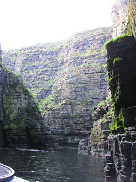
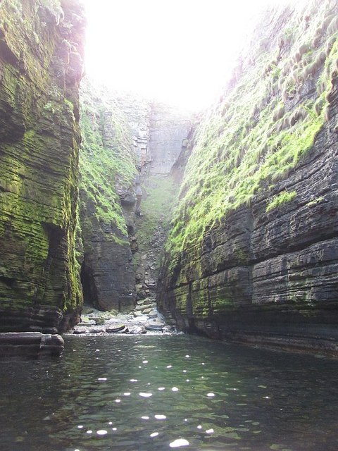
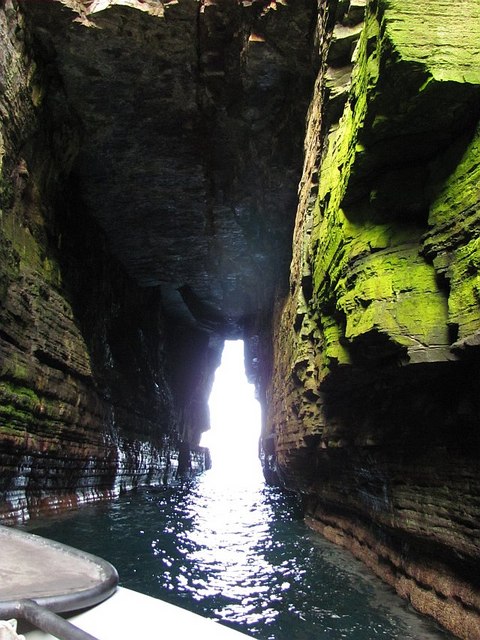
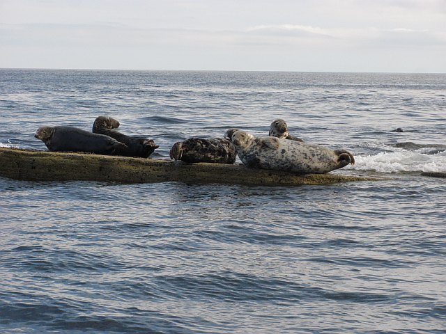
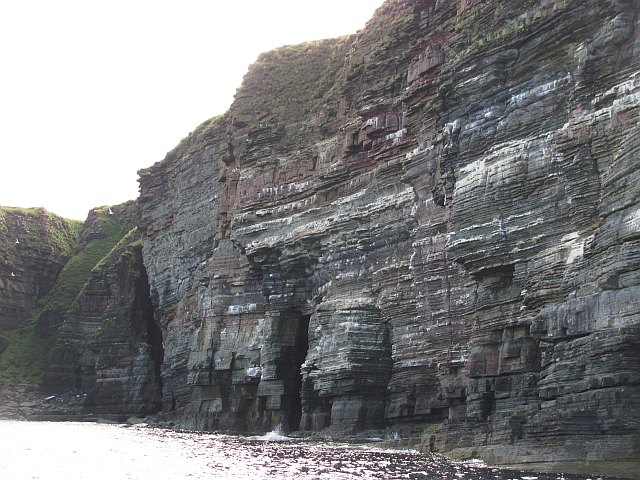
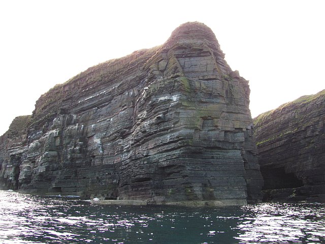
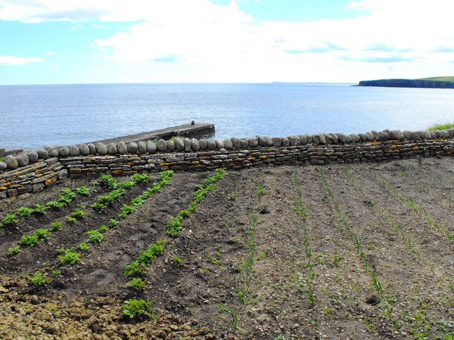
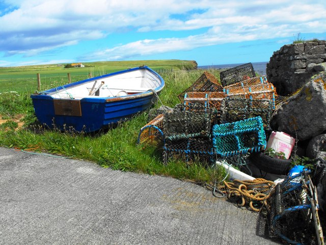
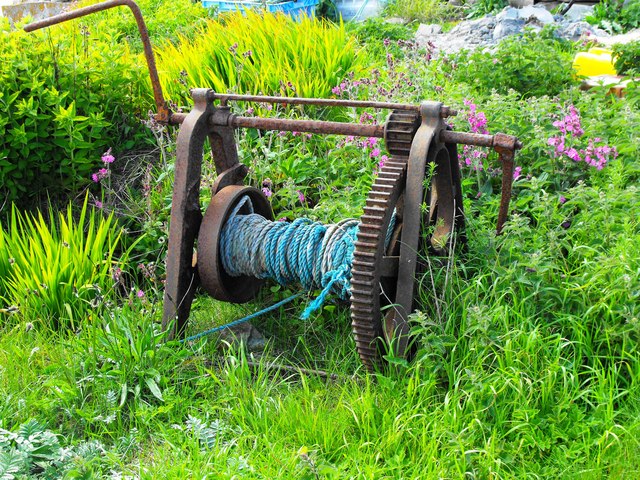
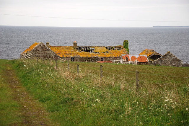
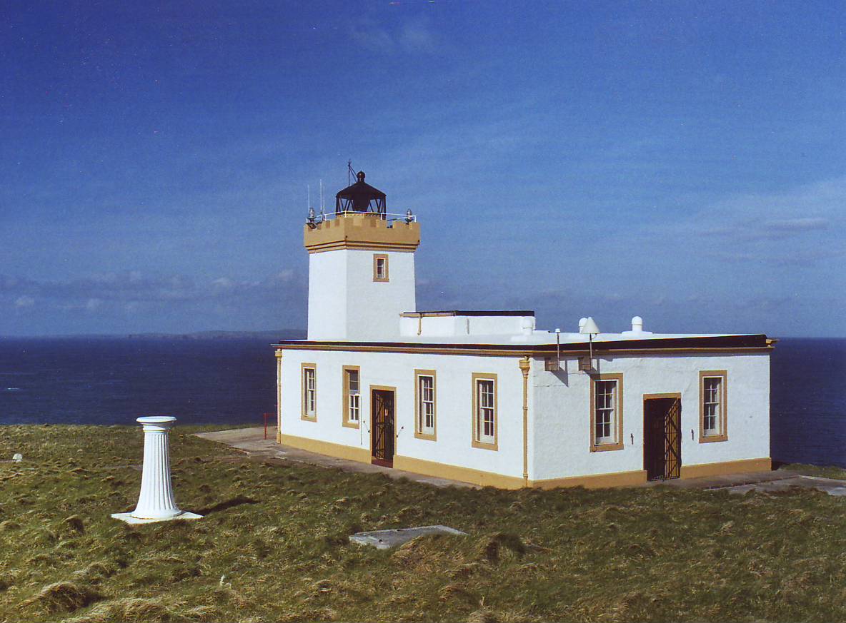
Loch Lomishan Images

Images are sourced within 2km of 58.613623/-3.0582109 or Grid Reference ND3870. Thanks to Geograph Open Source API. All images are credited.

View SE from A99 on Warth Hill Looking towards the coast at Skirza Head <a href="https://www.geograph.org.uk/gridref/ND3968">ND3968</a>.
View SE from A99 on Warth Hill
Looking towards the coast at Skirza Head ND3968.
Descent south from Warth Hill On the A99 from John o'Groats.
Descent south from Warth Hill
On the A99 from John o'Groats.
Farm buildings at Midtown Shrouded in a heavy haar rolling in from the nearby North Sea. Close by, this was a clear sunny day - but not here.
Farm buildings at Midtown
Shrouded in a heavy haar rolling in from the nearby North Sea. Close by, this was a clear sunny day - but not here.
Ruins at Skirza Shrouded in a heavy haar rolling in from the nearby North Sea. Close by, this was a clear sunny day - but not here.
Ruins at Skirza
Shrouded in a heavy haar rolling in from the nearby North Sea. Close by, this was a clear sunny day - but not here.
Farm building at Skirza A large farm shed, shrouded in a heavy haar rolling in from the nearby North Sea. Close by, this was a clear sunny day - but not here.
Farm building at Skirza
A large farm shed, shrouded in a heavy haar rolling in from the nearby North Sea. Close by, this was a clear sunny day - but not here.
Wife Geo Spectacular geo, with the stack (wife) in the middle and the arch.
Wife Geo
Spectacular geo, with the stack (wife) in the middle and the arch.
Fast Geo A geo just north of Wife Geo between the Stacks of Duncansby and Skirza Head.
Fast Geo
A geo just north of Wife Geo between the Stacks of Duncansby and Skirza Head.
Wife Geo Beyond a narrow twisting passage, or cave (there are two ways in) is a hidden anchorage. No doubt such a place has found various nefarious uses over the years.
This is the open way in.
Wife Geo
Beyond a narrow twisting passage, or cave (there are two ways in) is a hidden anchorage. No doubt such a place has found various nefarious uses over the years. This is the open way in.
Wife Geo One of the more spectacular places on this amazing coastline. A large sheltered lagoon inside the Caithness sea cliffs. There are two ways in, a narrow open passage or a cave.
Wife Geo
One of the more spectacular places on this amazing coastline. A large sheltered lagoon inside the Caithness sea cliffs. There are two ways in, a narrow open passage or a cave.
Beach and caves at the back of Wife Geo This is quite far inland. The back of a long and very sheltered inlet.
Beach and caves at the back of Wife Geo
This is quite far inland. The back of a long and very sheltered inlet.
Wife Geo Leaving Wife Geo by the cave exit - a long subterranean passage leading to the open sea.
Wife Geo
Leaving Wife Geo by the cave exit - a long subterranean passage leading to the open sea.
Seals, Skirza Seals hauled out on some rock slabs.
Seals, Skirza
Seals hauled out on some rock slabs.
Crags, Skirza Sandstone crags and caves near Long Geo.
Crags, Skirza
Sandstone crags and caves near Long Geo.
Buttress, mouth of Long Geo The end of a finger of land south of Long Geo.
Buttress, mouth of Long Geo
The end of a finger of land south of Long Geo.
Walled Garden at Skirza Skilfully built drystone wall with an ornamental top course. Noss Head in the far distance.
Walled Garden at Skirza
Skilfully built drystone wall with an ornamental top course. Noss Head in the far distance.
Small Boat and Creels Fishing gear at Skirza Pier
Small Boat and Creels
Fishing gear at Skirza Pier
Old Harbour Winch Old winch at Skirza, at one time used for hauling small fishing boats from the water.
Old Harbour Winch
Old winch at Skirza, at one time used for hauling small fishing boats from the water.
Skirza Croft Overlooking Freswick Bay this derelict and ruined croft caught the eye with the mustard yellow lichen covering its roof.
Skirza Croft
Overlooking Freswick Bay this derelict and ruined croft caught the eye with the mustard yellow lichen covering its roof.
Show me another place!

Loch Lomishan is located at Grid Ref: ND3870 (Lat: 58.613623, Lng: -3.0582109)

Unitary Authority: Highland

Police Authority: Highlands and Islands

What 3 Words

///trading.bugs.tint. Near John o' Groats, Highland

Nearby Locations

Loch Lomishan

Related Wikis

Skirza

Skirza or Skirsa, is a small remote linear fishing village, overlooking Freswick Bay to the south and Skirza Head to the southeast, in eastern Caithness...

Freswick

Freswick ( FREZZ-ik) or Skirsa, is a small remote hamlet, overlooking Freswick Bay to the east, in eastern Caithness, Scottish Highlands and is in the...

John o' Groats

John O' Groats (Scottish Gaelic: Taigh Iain Ghròt) is a village 2.5 mi (4 km) northeast of Canisbay, Caithness, in the far north of Scotland. John O' Groats...

Huna, Caithness

Huna is a small remote crofting township, located 1 mile northeast of Canisbay and 1.5 miles west of John o' Groats in Caithness, in Scotland. It is currently...

Duncansby Head

Duncansby Head (Scottish Gaelic: Ceann Dhunngain or Dùn Gasbaith) is the most northeasterly part of both the Scottish and British mainlands, slightly...

Canisbay

Canisbay is a rural hamlet located about one mile (1.5 kilometres) southwest of Huna and two and a half miles (four kilometres) southwest of John o' Groats...

Huna House

Huna House is a Victorian building located in the small village of Huna in Canisbay, north of Caithness. Built in 1870 as the Huna Hotel, it is listed...

Canisbay Parish Church

Canisbay Parish Church is a Church of Scotland church in Canisbay, Scotland, that dates back to the early 1600s and is the most northernly church on mainland...

Have you been to Loch Lomishan?

Leave your review of Loch Lomishan below (or comments, questions and feedback).