Upper Parker's Hole
Lake, Pool, Pond, Freshwater Marsh in Monmouthshire
Wales
Upper Parker's Hole
The requested URL returned error: 500 Internal Server Error
If you have any feedback on the listing, please let us know in the comments section below.
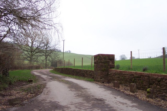
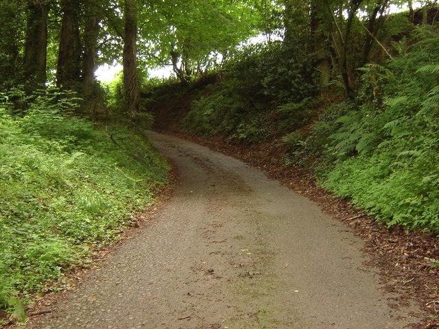
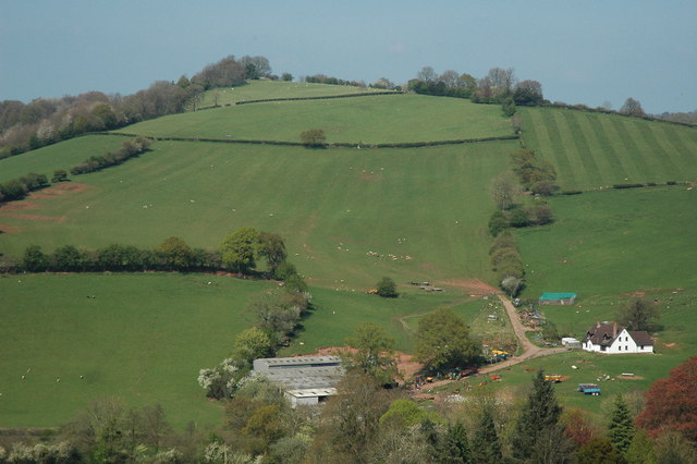
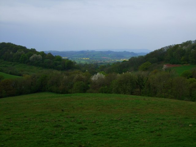
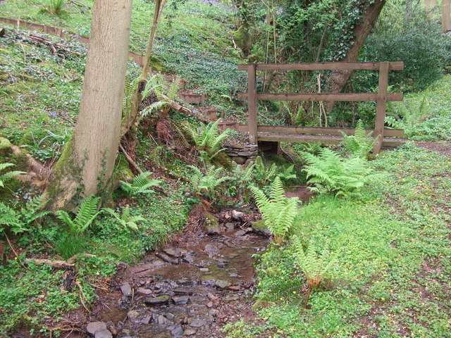
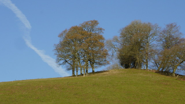
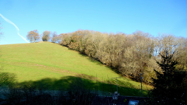
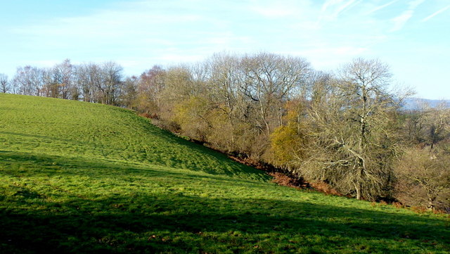
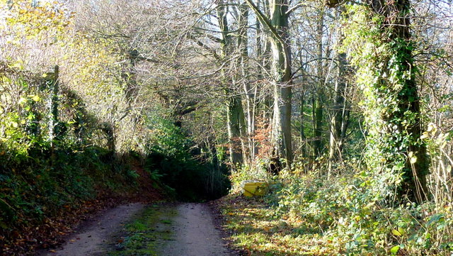
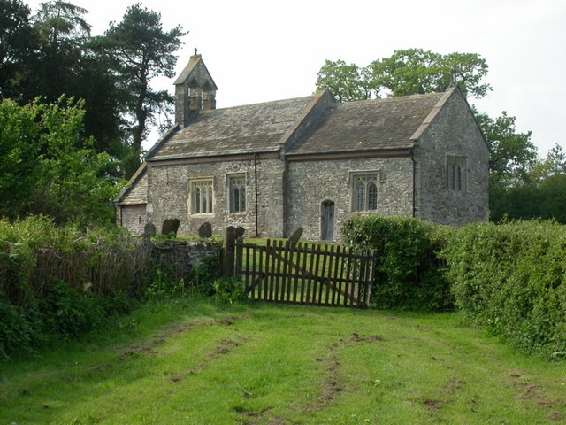
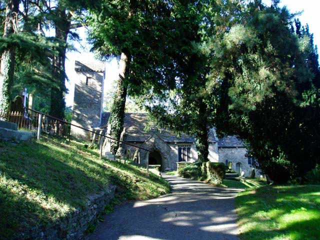
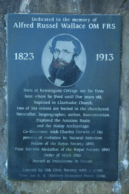
Upper Parker's Hole Images
Images are sourced within 2km of 51.683631/-2.8863218 or Grid Reference ST3898. Thanks to Geograph Open Source API. All images are credited.


Upper Parker's Hole is located at Grid Ref: ST3898 (Lat: 51.683631, Lng: -2.8863218)
Unitary Authority: Monmouthshire
Police Authority: Gwent
What 3 Words
///committee.sponge.fronted. Near Llanbadoc, Monmouthshire
Nearby Locations
Related Wikis

Llanllowell
Llanllowell (Welsh: Llanllywel) is a village in Monmouthshire, southeast Wales, in the United Kingdom. It is two miles southeast of Usk, in the community...

Pentwyn, Llanllowell
Pentwyn, Llanllowell, Monmouthshire is a farmhouse dating from the mid-16th century. The house is Grade II* listed, with the adjacent barn having its own...

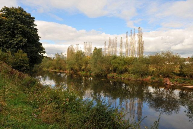
Olway Brook
The Olway Brook (Welsh: Nant Olwy) is a left bank tributary of the River Usk in Monmouthshire in south Wales. Arising from the confluence of several brooks...
Llantrisant Fawr
Llantrisant Fawr is a community in Monmouthshire, Wales. Villages within the community include Llantrisant and Llanllowell. The community council has three...

The Cwm, Llantrisant, Monmouthshire
The Cwm, Llantrisant, Monmouthshire is a farmhouse dating from the 16th century. Expanded in both the 17th and 18th centuries, The Cwm is a Grade II* listed...

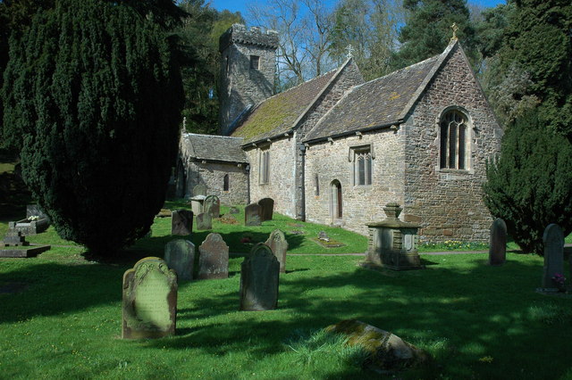
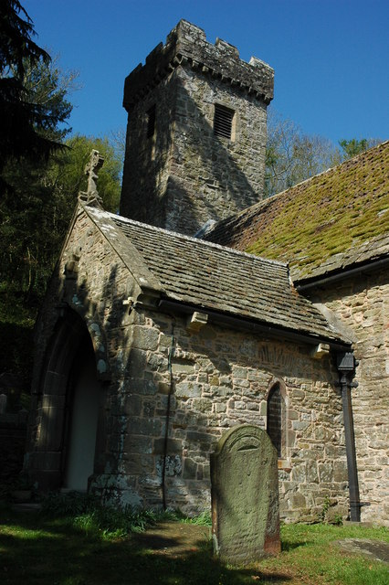
Church of St Peter, St Paul and St John, Llantrisant
The Church of St Peter, St Paul and St John, is the parish church of Llantrisant, Monmouthshire, Wales. Described by the architectural historian, John...
Llantrisant, Monmouthshire
Llantrisant () is a village in Monmouthshire, south east Wales, United Kingdom. The community population at the 2011 census was 475. == Location == Llantrisant...
Llanbadoc
Llanbadoc (Welsh: Llanbadog Fawr) is a village and community in the county of Monmouthshire and the preserved county of Gwent in Wales. The population...
Related Videos
How about this for a Roof Terrace... #Shorts
Subscribe for more luxury walk-through tours. Watch the full tour: https://youtu.be/G5AHVXQmbQU.

Usk Castle and Town, Monmouth ~ Drone Footage!
A short flight over the castle at usk and the surrounding area.


Badmas hai.
viral #viralvideo #viralshorts.
Nearby Amenities
Located within 500m of 51.683631,-2.8863218Have you been to Upper Parker's Hole?
Leave your review of Upper Parker's Hole below (or comments, questions and feedback).