Rail y Deri

Lake, Pool, Pond, Freshwater Marsh in Monmouthshire

Wales

Rail y Deri

Grass Ski Centre An unprepossessing drive to a rare outdoor activity.
Grass Ski Centre Credit: Jonathan Billinger

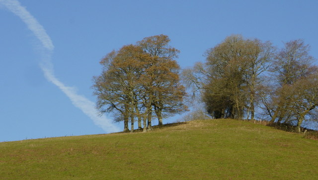
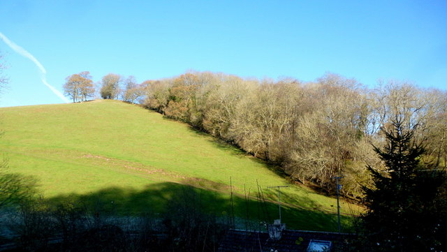
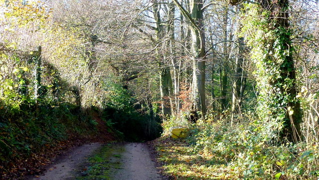
Rail y Deri is a picturesque freshwater marsh located in Monmouthshire, Wales. Situated near the village of Raglan, this natural marvel encompasses a lake, pool, pond, and a sprawling freshwater marsh ecosystem. Spanning across a vast area, Rail y Deri is a haven for a diverse range of flora and fauna, making it a popular spot for nature enthusiasts and birdwatchers alike.

The centerpiece of Rail y Deri is the lake, which serves as a vital habitat for numerous aquatic species. The crystal-clear waters of the lake are teeming with various fish species, including pike, perch, and roach. Additionally, the lake attracts a plethora of waterfowl, such as mallards, coots, and tufted ducks, which can be observed gracefully swimming or diving for food.

Adjacent to the lake is a smaller pool, which provides a tranquil setting for visitors to relax and enjoy the peaceful surroundings. The pool is often adorned with vibrant water lilies and is frequented by dragonflies and damselflies during the warmer months.

Further into Rail y Deri, there is a charming pond surrounded by lush vegetation. This pond is home to a diverse array of amphibians, including frogs, toads, and newts. It also attracts a variety of insects, such as water beetles and pond skaters, which play a crucial role in the ecosystem.

The entire area is enveloped by a sprawling freshwater marsh, characterized by its lush green vegetation and waterlogged soil. This marshland serves as a crucial breeding ground for numerous bird species, including reed warblers, sedge warblers, and reed buntings. Visitors to Rail y Deri can witness these birds in their natural habitat, singing melodiously or building intricate nests among the reeds.

In conclusion, Rail y Deri in Monmouthshire is a captivating natural wonder, boasting a lake, pool, pond, and a thriving freshwater marsh ecosystem. Its diverse range of flora and

If you have any feedback on the listing, please let us know in the comments section below.
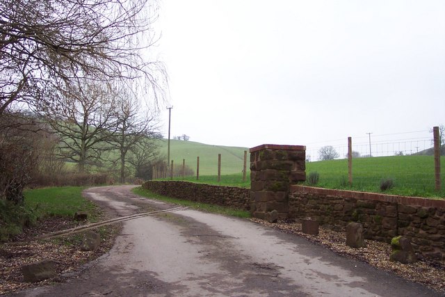
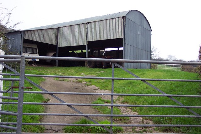
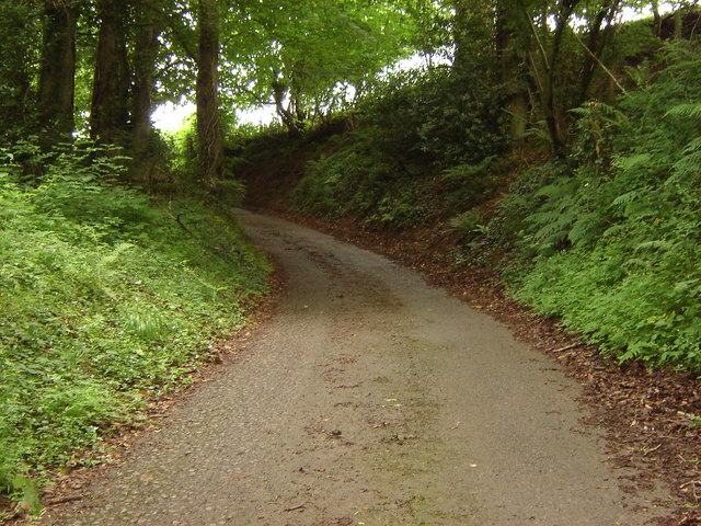
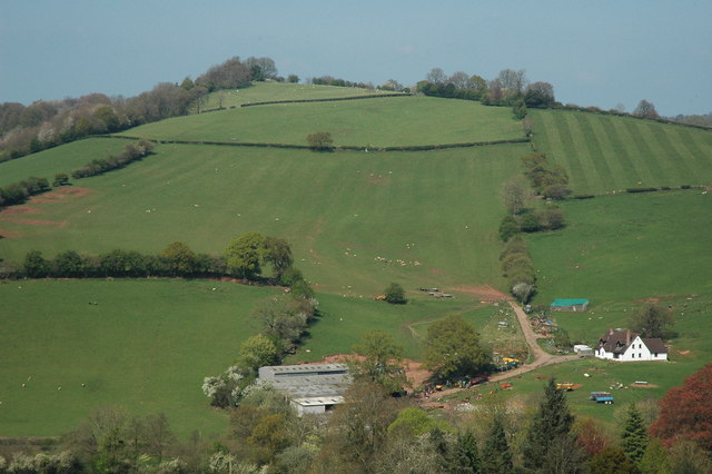
Rail y Deri Images

Images are sourced within 2km of 51.68002/-2.8893899 or Grid Reference ST3898. Thanks to Geograph Open Source API. All images are credited.

Grass Ski Centre An unprepossessing drive to a rare outdoor activity.
Grass Ski Centre
An unprepossessing drive to a rare outdoor activity.
Barn at Arch Farm
Barn at Arch Farm
Lane rising to meet field boundary, Gwern ddu Hill
Gwern-Ddu Hill Gwern-Ddu Hill viewed from Corn Hill. The farm in the foreground doesn't appear to be marked on the OS map.
Gwern-Ddu Hill
Gwern-Ddu Hill viewed from Corn Hill. The farm in the foreground doesn't appear to be marked on the OS map.
Oaks on a hilltop Crisp early winter shot with vestiges of autumn colour still hanging on.
Oaks on a hilltop
Crisp early winter shot with vestiges of autumn colour still hanging on.
Woodland, hill and Llewellyn's Dingle The hilltop is captured in Macro in <a href="https://www.geograph.org.uk/photo/4267511">ST4099 : Oaks on a hilltop</a>. A dingle is a Marches term for a steep wooded valley.
Woodland, hill and Llewellyn's Dingle
The hilltop is captured in Macro in ST4099 : Oaks on a hilltop. A dingle is a Marches term for a steep wooded valley.
Gwern Ddu Road The road drops steeply from here.
Cwm-Byr Wood, with beech, to the right.
Gwern Ddu Road
The road drops steeply from here. Cwm-Byr Wood, with beech, to the right.
Gravestone, Llanbadoc Churchyard
Red phonebox, Llanbadoc At crossroads in Llanbadoc, a village near Usk in Monmouthshire.
Red phonebox, Llanbadoc
At crossroads in Llanbadoc, a village near Usk in Monmouthshire.
Welcome to Llanbadoc Island The welcome board is near an entrance to St Madoc's church in Llanbadoc, a village near Usk in Monmouthshire. Llanbadoc Island is not an island, but a recreation area alongside the River Usk.
Welcome to Llanbadoc Island
The welcome board is near an entrance to St Madoc's church in Llanbadoc, a village near Usk in Monmouthshire. Llanbadoc Island is not an island, but a recreation area alongside the River Usk.
Welcome to  Llanbadoc Island, Llanbadoc Located SE of St Madoc's Church, Llanbadoc Island is not an island (water on only one side), but a recreation area on a bank of the River Usk. The Welsh Ynys on the board means island or river meadow, which applies here.
The small yellow notice shows VALE OF USK - CAR PARK WATCH.
A grid prevents cloven-hoofed animals entering the site.
Welcome to Llanbadoc Island, Llanbadoc
Located SE of St Madoc's Church, Llanbadoc Island is not an island (water on only one side), but a recreation area on a bank of the River Usk. The Welsh Ynys on the board means island or river meadow, which applies here. The small yellow notice shows VALE OF USK - CAR PARK WATCH. A grid prevents cloven-hoofed animals entering the site.
Grid across the entrance to Llanbadoc Island, Llanbadoc The grid prevents cloven-hoofed animals entering this recreation area on a bank of the River Usk. 
The use of Island for this area may have been influenced by its Welsh name, Ynys Llanbadoc. 
Ynys means island or river meadow, which applies here.
Grid across the entrance to Llanbadoc Island, Llanbadoc
The grid prevents cloven-hoofed animals entering this recreation area on a bank of the River Usk. The use of Island for this area may have been influenced by its Welsh name, Ynys Llanbadoc. Ynys means island or river meadow, which applies here.
Bench in Llanbadoc Island, Llanbadoc The bench faces the River Usk. <a title="https://www.geograph.org.uk/photo/4640990" href="https://www.geograph.org.uk/photo/4640990">Link</a>
Bench in Llanbadoc Island, Llanbadoc
The bench faces the River Usk. Link
River Usk flows past Llanbadoc Island, Llanbadoc Viewed from this <a title="https://www.geograph.org.uk/photo/4640979" href="https://www.geograph.org.uk/photo/4640979">Link</a> bench. This is the only water alongside the so-called Island. 
The choice of name in English may have been influenced by its Welsh name, Ynys Llanbadoc. 
Ynys means island or river meadow, which applies here.
River Usk flows past Llanbadoc Island, Llanbadoc
Viewed from this Link bench. This is the only water alongside the so-called Island. The choice of name in English may have been influenced by its Welsh name, Ynys Llanbadoc. Ynys means island or river meadow, which applies here.
Path from Llanbadoc Island to the main road, Llanbadoc From Llanbadoc Island recreation area <a title="https://www.geograph.org.uk/photo/4640887" href="https://www.geograph.org.uk/photo/4640887">Link</a> to the main road through Llanbadoc, 
a small village near the town of Usk, Monmouthshire.
Path from Llanbadoc Island to the main road, Llanbadoc
From Llanbadoc Island recreation area Link to the main road through Llanbadoc, a small village near the town of Usk, Monmouthshire.
Unclassified road from Usk toward Llanllowell, Monmouthshire This hedge-lined road south of Maryport Street is part of National Cycle Network Route 42 which extends from Chepstow in Monmouthshire to Glasbury (or Glasbury-on-Wye) in Powys.
Unclassified road from Usk toward Llanllowell, Monmouthshire
This hedge-lined road south of Maryport Street is part of National Cycle Network Route 42 which extends from Chepstow in Monmouthshire to Glasbury (or Glasbury-on-Wye) in Powys.
National Cycle Network Route 42 direction sign, Usk, Monmouthshire On the pole here. <a title="https://www.geograph.org.uk/photo/6577937" href="https://www.geograph.org.uk/photo/6577937">Link</a> National Cycle Network Route 42 extends from Chepstow in Monmouthshire to Glasbury (or Glasbury-on-Wye) in Powys.
National Cycle Network Route 42 direction sign, Usk, Monmouthshire
On the pole here. Link National Cycle Network Route 42 extends from Chepstow in Monmouthshire to Glasbury (or Glasbury-on-Wye) in Powys.
Track by River Usk The flood embankment is to the left; the line of weir in the river can just be discerned.
Track by River Usk
The flood embankment is to the left; the line of weir in the river can just be discerned.
Show me another place!

Rail y Deri is located at Grid Ref: ST3898 (Lat: 51.68002, Lng: -2.8893899)

Unitary Authority: Monmouthshire

Police Authority: Gwent

What 3 Words

///enjoys.encoding.awkward. Near Llanbadoc, Monmouthshire

Related Wikis

Olway Brook

The Olway Brook (Welsh: Nant Olwy) is a left bank tributary of the River Usk in Monmouthshire in south Wales. Arising from the confluence of several brooks...

Llanllowell

Llanllowell (Welsh: Llanllywel) is a village in Monmouthshire, southeast Wales, in the United Kingdom. It is two miles southeast of Usk, in the community...

Pentwyn, Llanllowell

Pentwyn, Llanllowell, Monmouthshire is a farmhouse dating from the mid-16th century. The house is Grade II* listed, with the adjacent barn having its own...

Llantrisant Fawr

Llantrisant Fawr is a community in Monmouthshire, Wales. Villages within the community include Llantrisant and Llanllowell. The community council has three...

The Cwm, Llantrisant, Monmouthshire

The Cwm, Llantrisant, Monmouthshire is a farmhouse dating from the 16th century. Expanded in both the 17th and 18th centuries, The Cwm is a Grade II* listed...

Church of St Peter, St Paul and St John, Llantrisant

The Church of St Peter, St Paul and St John, is the parish church of Llantrisant, Monmouthshire, Wales. Described by the architectural historian, John...

Llantrisant, Monmouthshire

Llantrisant () is a village in Monmouthshire, south east Wales, United Kingdom. The community population at the 2011 census was 475. == Location == Llantrisant...

New House Farm, Llangybi

New House Farm, Llangybi, Monmouthshire is a substantial farmhouse dating from c.1700. It has been little altered since the date of its construction. It...

Nearby Amenities

Located within 500m of 51.68002,-2.8893899
Direction: SSE
Generator Method: photovoltaic
Generator Output Electricity: yes
Generator Solar Modules: 16
Generator Source: solar
Generator Type: solar_photovoltaic_panel
Location: roof
Power: generator
Lat/Long: 51.682546/-2.8947486
The data included in this document is from www.openstreetmap.org. The data is made available under ODbL.

Have you been to Rail y Deri?

Leave your review of Rail y Deri below (or comments, questions and feedback).