Batt's Hole

Lake, Pool, Pond, Freshwater Marsh in Monmouthshire

Wales

Batt's Hole

Grass Ski Centre An unprepossessing drive to a rare outdoor activity.
Grass Ski Centre Credit: Jonathan Billinger

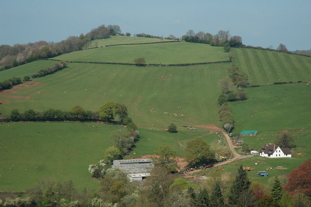
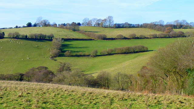
Batt's Hole is a picturesque freshwater marsh located in Monmouthshire, Wales. Nestled in the heart of the serene countryside, this enchanting natural wonder offers a tranquil escape for nature enthusiasts and visitors seeking solace.

Covering an area of approximately 10 acres, Batt's Hole boasts a diverse ecosystem, characterized by its crystal-clear waters, verdant vegetation, and abundant wildlife. The site is known for its unique combination of a lake, pool, pond, and marsh, making it a haven for a wide variety of flora and fauna.

The marsh's pristine waters are fed by natural springs, ensuring a constant flow of fresh, clean water. This provides an ideal habitat for a rich array of aquatic plants, including water lilies, reeds, and submerged grasses. These plants, in turn, support a thriving community of insects, fish, and amphibians.

Batt's Hole is also home to a plethora of bird species, making it a popular spot for birdwatchers. Visitors may have the opportunity to catch a glimpse of kingfishers, herons, swans, and a variety of waterfowl. The marsh's dense vegetation provides ample shelter and nesting sites, attracting a diverse range of avian residents.

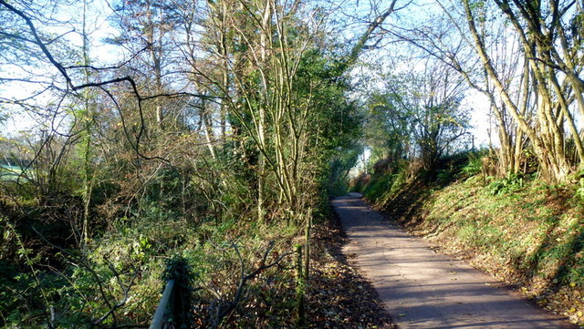
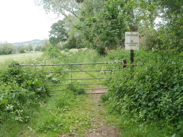
The site is easily accessible via a well-maintained footpath, allowing visitors to explore the marsh and appreciate its natural beauty up close. With its peaceful ambiance, scenic surroundings, and abundant wildlife, Batt's Hole offers a welcome retreat for those seeking a respite from the bustle of everyday life.

If you have any feedback on the listing, please let us know in the comments section below.
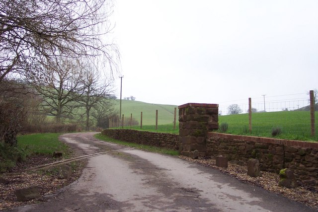
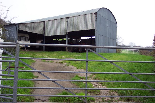
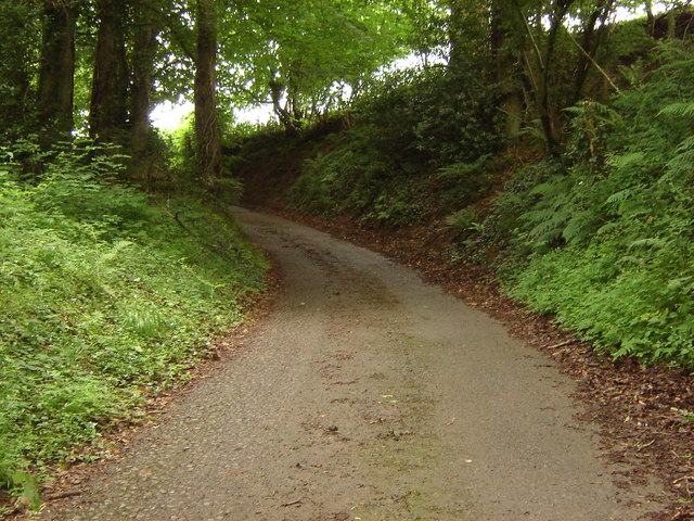
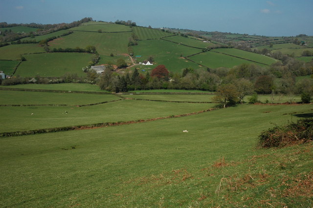
Batt's Hole Images

Images are sourced within 2km of 51.677874/-2.8865709 or Grid Reference ST3898. Thanks to Geograph Open Source API. All images are credited.

Grass Ski Centre An unprepossessing drive to a rare outdoor activity.
Grass Ski Centre
An unprepossessing drive to a rare outdoor activity.
Barn at Arch Farm
Barn at Arch Farm
Lane rising to meet field boundary, Gwern ddu Hill
View north from Corn Hill Gwern-Ddu Hill viewed from Corn Hill.
View north from Corn Hill
Gwern-Ddu Hill viewed from Corn Hill.
Gwern-Ddu Hill Gwern-Ddu Hill viewed from Corn Hill. The farm in the foreground doesn't appear to be marked on the OS map.
Gwern-Ddu Hill
Gwern-Ddu Hill viewed from Corn Hill. The farm in the foreground doesn't appear to be marked on the OS map.
Oaks on a hilltop Crisp early winter shot with vestiges of autumn colour still hanging on.
Oaks on a hilltop
Crisp early winter shot with vestiges of autumn colour still hanging on.
Woodland, hill and Llewellyn's Dingle The hilltop is captured in Macro in <a href="https://www.geograph.org.uk/photo/4267511">ST4099 : Oaks on a hilltop</a>. A dingle is a Marches term for a steep wooded valley.
Woodland, hill and Llewellyn's Dingle
The hilltop is captured in Macro in ST4099 : Oaks on a hilltop. A dingle is a Marches term for a steep wooded valley.
Gwern Ddu Road The road drops steeply from here.
Cwm-Byr Wood, with beech, to the right.
Gwern Ddu Road
The road drops steeply from here. Cwm-Byr Wood, with beech, to the right.
Gwern Ddu Hill Viewed from Fernhill.
Pasture and woodland in the rolling hills of South Monmouthshire.
Gwern Ddu Hill
Viewed from Fernhill. Pasture and woodland in the rolling hills of South Monmouthshire.
Nant-y-banw Lane The Llantrisant Brook runs alongside to the left.
Nant-y-banw Lane
The Llantrisant Brook runs alongside to the left.
A449 looking north near Llantrisant
Path to Llangibby Bottom The path heads SE from the edge of the Church of St Cybi <a title="https://www.geograph.org.uk/photo/2410716" href="https://www.geograph.org.uk/photo/2410716">Link</a> past the black railings around St Cybi's well <a title="https://www.geograph.org.uk/photo/2410719" href="https://www.geograph.org.uk/photo/2410719">Link</a>
Path to Llangibby Bottom
The path heads SE from the edge of the Church of St Cybi Link past the black railings around St Cybi's well Link
Remains of a building, Llangibby Bottom The remains of a brick building are at the southern edge of a field bordering a path.
Remains of a building, Llangibby Bottom
The remains of a brick building are at the southern edge of a field bordering a path.
End of a public path to Llangibby Bottom Public access to the path <a title="https://www.geograph.org.uk/photo/2410726" href="https://www.geograph.org.uk/photo/2410726">Link</a> from the church ends here, at a gate and a sign stating 
PRIVATE ROAD
NO UNAUTHORISED ACCESS.
End of a public path to Llangibby Bottom
Public access to the path Link from the church ends here, at a gate and a sign stating PRIVATE ROAD NO UNAUTHORISED ACCESS.
Llangibby Sewage Pumping Station Welsh Water premises located in Llangibby Bottom, to the south of the village of Llangybi.
Llangibby Sewage Pumping Station
Welsh Water premises located in Llangibby Bottom, to the south of the village of Llangybi.
A449 heading north
A449 heading north
A449 northbound near Pentwyn
The Forge, Llangibby The old blacksmith's forge in the centre of the village. As a small boy I used to sometimes enjoy the privilege of sitting on a huge horse's back while they were shod in here.
The Forge, Llangibby
The old blacksmith's forge in the centre of the village. As a small boy I used to sometimes enjoy the privilege of sitting on a huge horse's back while they were shod in here.
Show me another place!

Batt's Hole is located at Grid Ref: ST3898 (Lat: 51.677874, Lng: -2.8865709)

Unitary Authority: Monmouthshire

Police Authority: Gwent

What 3 Words

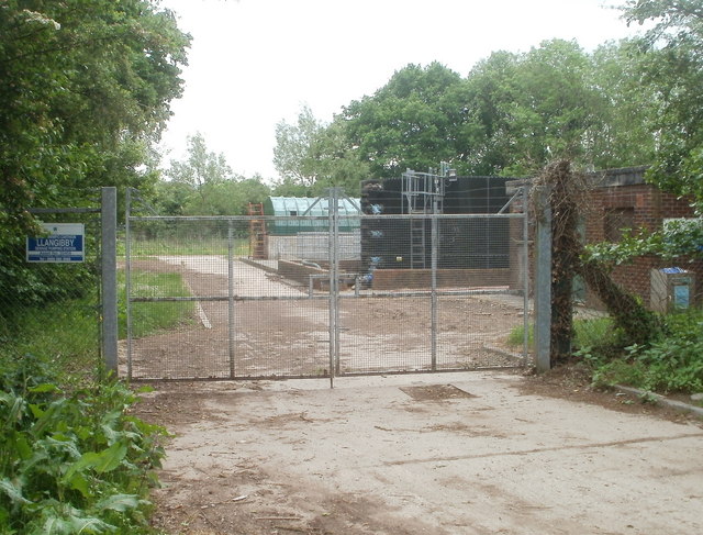
///nipping.smarting.question. Near Llangybi, Monmouthshire

Related Wikis

Olway Brook

The Olway Brook (Welsh: Nant Olwy) is a left bank tributary of the River Usk in Monmouthshire in south Wales. Arising from the confluence of several brooks...

Llanllowell

Llanllowell (Welsh: Llanllywel) is a village in Monmouthshire, southeast Wales, in the United Kingdom. It is two miles southeast of Usk, in the community...

Pentwyn, Llanllowell

Pentwyn, Llanllowell, Monmouthshire is a farmhouse dating from the mid-16th century. The house is Grade II* listed, with the adjacent barn having its own...

The Cwm, Llantrisant, Monmouthshire

The Cwm, Llantrisant, Monmouthshire is a farmhouse dating from the 16th century. Expanded in both the 17th and 18th centuries, The Cwm is a Grade II* listed...

Llantrisant Fawr

Llantrisant Fawr is a community in Monmouthshire, Wales. Villages within the community include Llantrisant and Llanllowell. The community council has three...

Church of St Peter, St Paul and St John, Llantrisant

The Church of St Peter, St Paul and St John, is the parish church of Llantrisant, Monmouthshire, Wales. Described by the architectural historian, John...

Llantrisant, Monmouthshire

Llantrisant () is a village in Monmouthshire, south east Wales, United Kingdom. The community population at the 2011 census was 475. == Location == Llantrisant...

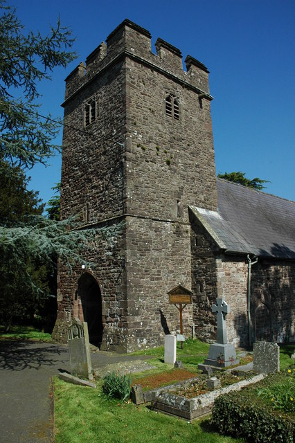
St Cybi's Church, Llangybi, Monmouthshire

The Church of St Cybi, Llangybi, Monmouthshire is a parish church with its origins in the 13th or 14th century. Refurbished in the 15th century, the church...

Have you been to Batt's Hole?

Leave your review of Batt's Hole below (or comments, questions and feedback).