Gooseland-dale Pool

Lake, Pool, Pond, Freshwater Marsh in Peeblesshire

Scotland

Gooseland-dale Pool

The Tweed at Innerleithen The disused railway bridge (the Haugh-head Viaduct, opened 1866 by North British Rail) in the distance.
The Tweed at Innerleithen Credit: Gordon Brown

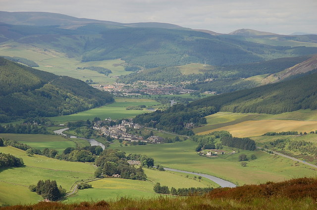
Gooseland-dale Pool is a picturesque freshwater marsh located in Peeblesshire, Scotland. Situated amidst stunning natural surroundings, this pool attracts both locals and tourists alike with its serene beauty and diverse wildlife.

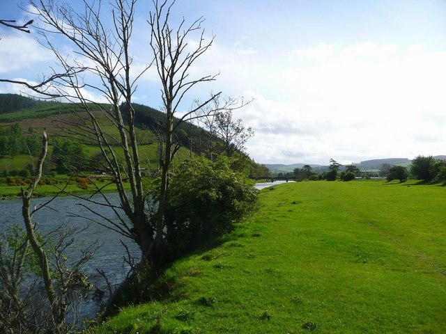
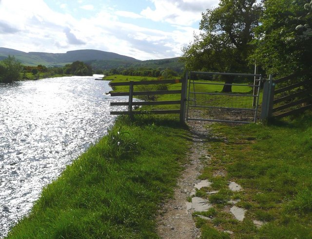
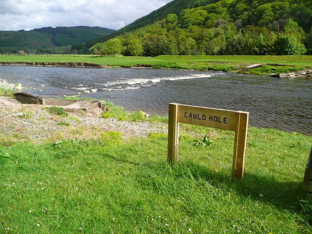
Covering an area of approximately 10 acres, Gooseland-dale Pool is a small yet enchanting body of water. It is known for its calm and clear waters, which reflect the surrounding lush greenery, creating a tranquil atmosphere. The pool is fed by several small streams that flow from the nearby hills, ensuring a constant supply of freshwater.

The pool is home to a wide range of flora and fauna, making it a haven for nature enthusiasts. It provides a habitat for various species of waterfowl, including geese, ducks, and swans. Visitors can often observe these graceful birds gliding across the water or nesting along the pool's banks. Additionally, the pool is teeming with fish, such as brown trout and perch, making it a popular spot for fishing enthusiasts.

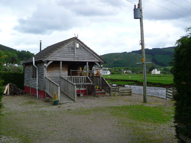
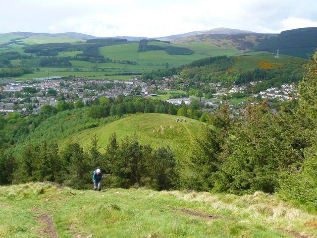
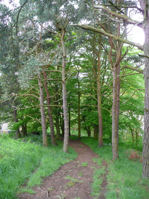
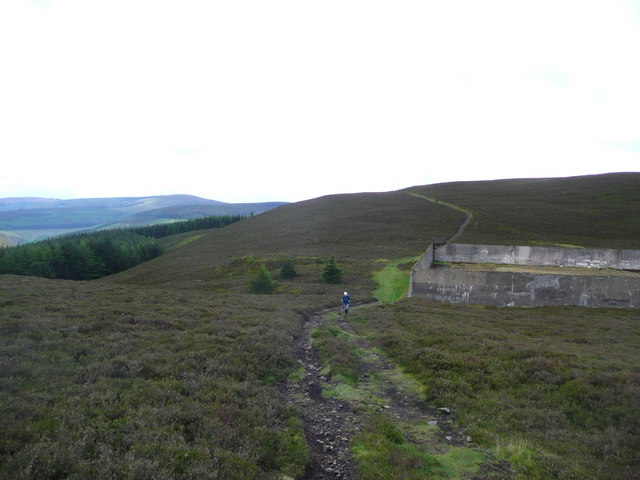
Surrounded by rolling hills and dense forests, Gooseland-dale Pool offers breathtaking views and ample opportunities for outdoor activities. Visitors can enjoy leisurely walks along the pool's edge, taking in the sights and sounds of nature. The pool also serves as a perfect spot for picnics, with several designated areas equipped with benches and tables.

Overall, Gooseland-dale Pool is a hidden gem in Peeblesshire, offering a peaceful and idyllic retreat for those seeking a connection with nature. Its tranquil waters, diverse wildlife, and stunning surroundings make it a must-visit destination for anyone exploring the Scottish countryside.

If you have any feedback on the listing, please let us know in the comments section below.

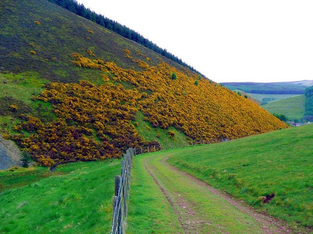
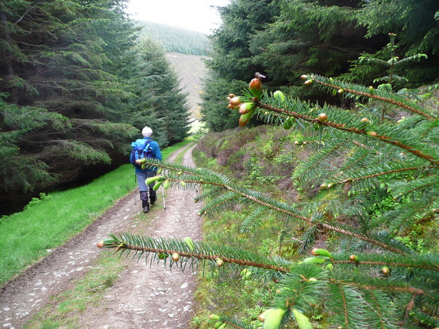
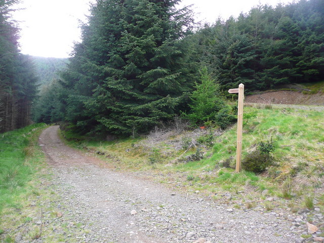
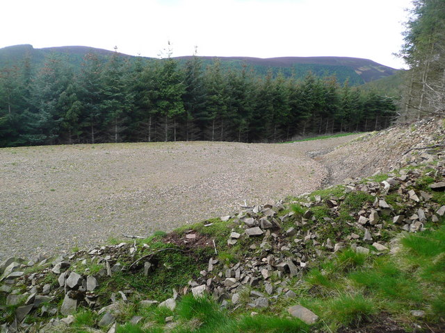
Gooseland-dale Pool Images

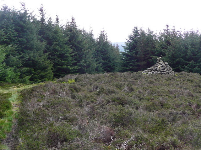
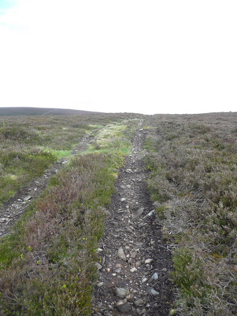
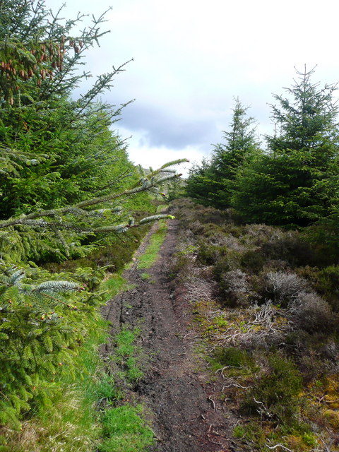
Images are sourced within 2km of 55.622211/-3.0324547 or Grid Reference NT3536. Thanks to Geograph Open Source API. All images are credited.

The Tweed at Innerleithen The disused railway bridge (the Haugh-head Viaduct, opened 1866 by North British Rail) in the distance.
The Tweed at Innerleithen
The disused railway bridge (the Haugh-head Viaduct, opened 1866 by North British Rail) in the distance.
Gate by the Tweed at Innerleithen
The Cauld Hole on the Tweed at Walkerburn The 'Weir Pool' above the weir where fish stop to rest before continuing on up the river.
The Cauld Hole on the Tweed at Walkerburn
The 'Weir Pool' above the weir where fish stop to rest before continuing on up the river.
Superior fishing hut on the Tweed Fishing the Tweed for salmon can be expensive, and clients expect decent facilities.  This hut provides shelter and a seat when break time comes.  Note the rod support outside between the two sets of steps.
Superior fishing hut on the Tweed
Fishing the Tweed for salmon can be expensive, and clients expect decent facilities. This hut provides shelter and a seat when break time comes. Note the rod support outside between the two sets of steps.
Gorse in exuberant form above Walkerburn
Budding conifers on the Priesthope track Approaching Walkerburn
Budding conifers on the Priesthope track
Approaching Walkerburn
Walkers' signs at Priesthope To the left for Walkerburn, to the right for Innerleithen.
Walkers' signs at Priesthope
To the left for Walkerburn, to the right for Innerleithen.
Forest track development above Walkerburn A huge metalled turning area at the end of the forest track has been created here by extensive excavation.  The forest appears mature and this may signify imminent harvesting.
Forest track development above Walkerburn
A huge metalled turning area at the end of the forest track has been created here by extensive excavation. The forest appears mature and this may signify imminent harvesting.
The lower cairn on Cairn Hill
Track on Kirnie Law
Track on Kirnie Law
The path to Kirnie Law
Looking back on Pirn Hill and its viewpoint The seven stone plinths at the viewpoint above Innerleithen can be clarly seen.
Looking back on Pirn Hill and its viewpoint
The seven stone plinths at the viewpoint above Innerleithen can be clarly seen.
Path through the trees from Pirn Hill
Looking down on the Kirnie Law Reservoir Started in 1919 and operational in 1922, this was Scotland's first pumped storage hydroelectric scheme.  Full details can be seen at <span class="nowrap"><a title="http://www.britishlistedbuildings.co.uk/sc-49126-kirnie-law-reservoir-and-surge-tower-inne" rel="nofollow ugc noopener" href="http://www.britishlistedbuildings.co.uk/sc-49126-kirnie-law-reservoir-and-surge-tower-inne">Link</a><img style="margin-left:2px;" alt="External link" title="External link - shift click to open in new window" src="https://s1.geograph.org.uk/img/external.png" width="10" height="10"/></span>

The large hole in one wall was created deliberately once the scheme became disused to prevent a build-up of water inside breaching the un-maintained walls and flooding the towns below.
Looking down on the Kirnie Law Reservoir
Started in 1919 and operational in 1922, this was Scotland's first pumped storage hydroelectric scheme. Full details can be seen at LinkExternal link The large hole in one wall was created deliberately once the scheme became disused to prevent a build-up of water inside breaching the un-maintained walls and flooding the towns below.
A72 Walkerburn The A72 east of Walkerburn. View from Pyat Hill.
A72 Walkerburn
The A72 east of Walkerburn. View from Pyat Hill.
Walkerburn and the Tweed from Bold Rig The east end of Walkerburn is in view with Cairn Hill and Early Knowe (R) beyond.
Walkerburn and the Tweed from Bold Rig
The east end of Walkerburn is in view with Cairn Hill and Early Knowe (R) beyond.
Millstone at West Bold An old millstone now used as the farm sign, West Bold.
Millstone at West Bold
An old millstone now used as the farm sign, West Bold.
The Tweed Valley from Southerly Nick Walkerburn (centre) with Innerleithen beyond in this view from the ridge just NW of Thornielee Forest.
The Tweed Valley from Southerly Nick
Walkerburn (centre) with Innerleithen beyond in this view from the ridge just NW of Thornielee Forest.
Show me another place!

Gooseland-dale Pool is located at Grid Ref: NT3536 (Lat: 55.622211, Lng: -3.0324547)

Unitary Authority: The Scottish Borders

Police Authority: The Lothians and Scottish Borders

What 3 Words

///spud.stag.bumping. Near Innerleithen, Scottish Borders

Related Wikis

The Kirna

The Kirna, known locally as Kirna House (previously also as Grangehill), is a Category A listed villa in Walkerburn, Peeblesshire, Scotland. It is one...

Walkerburn railway station

Walkerburn railway station served the village of Walkerburn, Scottish Borders, Scotland from 1867 to 1962 on the Peebles Railway. == History == The station...

Walkerburn

Walkerburn (Scottish Gaelic: Allt an Fhùcadair) is a small village in the Scottish Borders area of Scotland, on the A72 about 8 miles (13 km) from Peebles...

Innerleithen

Innerleithen (Scottish Gaelic: Inbhir Leitheann) is a civil parish and a small town in the committee area of Tweeddale, in the Scottish Borders. It was...

Nearby Amenities

Located within 500m of 55.622211,-3.0324547
Bus Stop
Purvis Hill Garage
Bench: no
Bus: yes
Naptan AtcoCode: 6900812
Naptan Bearing: W
Naptan CommonName: Garage
Naptan Indicator: near
Naptan NaptanCode: 72724549
Naptan Street: Peebles Road
Operator: Scottish Borders Council
Public Transport: platform
Ref: 6900812
Shelter: yes
Source: NaPTAN
Lat/Long: 55.6250043/-3.02657
Give Way
Direction: forward
Lat/Long: 55.6249889/-3.0268622
Plora Wood
Place: locality
Lat/Long: 55.6195494/-3.0311196
Material: wood
Power: pole
Lat/Long: 55.620068/-3.0387336
Material: wood
Power: pole
Lat/Long: 55.6201558/-3.0368105
Power: pole
Lat/Long: 55.6203812/-3.0288784
Power: pole
Lat/Long: 55.6224169/-3.0253343
Power: pole
Lat/Long: 55.62251/-3.026631
Power: pole
Lat/Long: 55.6228397/-3.0266944
Power: pole
Lat/Long: 55.6235778/-3.0268383
Power: pole
Lat/Long: 55.6241881/-3.0274771
Power: pole
Lat/Long: 55.6246157/-3.0279721
Power: pole
Lat/Long: 55.6250325/-3.0284396
The data included in this document is from www.openstreetmap.org. The data is made available under ODbL.

Have you been to Gooseland-dale Pool?

Leave your review of Gooseland-dale Pool below (or comments, questions and feedback).