Pictarnie Pool

Lake, Pool, Pond, Freshwater Marsh in Peeblesshire

Scotland

Pictarnie Pool

Caberston Coffee Shop, Walkerburn This coffee shop is located on the north side of the A72 in the village centre.
Caberston Coffee Shop, Walkerburn Credit: Walter Baxter

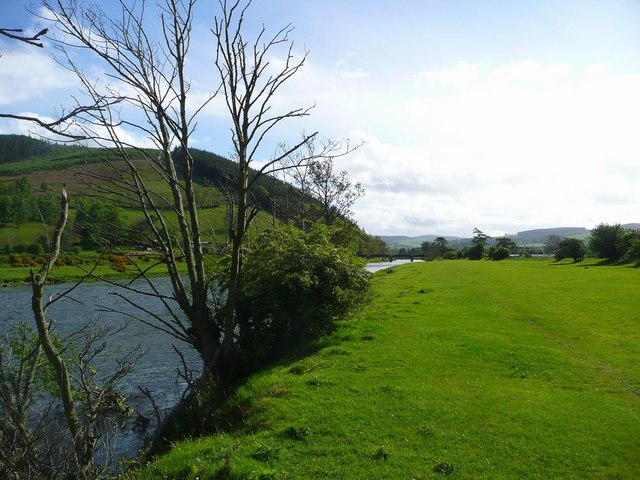
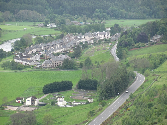
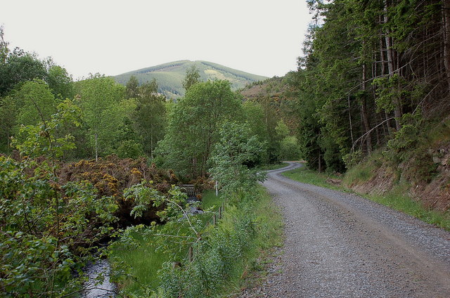
Pictarnie Pool is a picturesque freshwater marsh located in Peeblesshire, Scotland. Spanning an area of approximately 10 acres, this natural water body is nestled amidst the stunning Scottish countryside, surrounded by lush greenery and rolling hills.

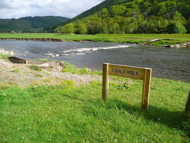
The pool itself is a shallow, serene body of water, fed by small streams and natural springs. Its calm surface is often adorned with floating lily pads and various aquatic plants, creating a vibrant and colorful spectacle. The pool's depth varies, with some areas being only a few inches deep while others reach up to several feet.

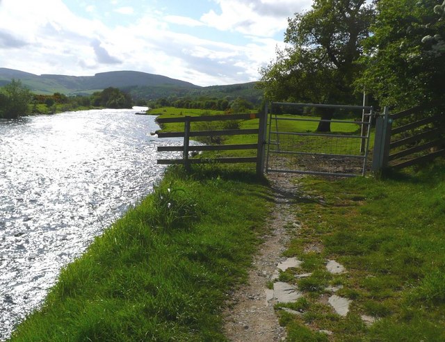
Pictarnie Pool is home to a diverse range of flora and fauna. The surrounding wetlands provide a habitat for a wide variety of plant species, including reeds, rushes, and water lilies. These plants not only add to the pool's natural beauty but also provide shelter and nesting sites for numerous bird species.

Birdwatchers frequent Pictarnie Pool, as it attracts a plethora of avian species throughout the year. Visitors may spot mallards, coots, moorhens, and even the occasional heron or kingfisher. The tranquil environment and abundance of food make it an ideal spot for these feathered creatures to rest and feed.

In addition to its ecological significance, Pictarnie Pool offers a tranquil retreat for locals and tourists alike. Nature enthusiasts can enjoy leisurely walks along the pool's edge, taking in the mesmerizing scenery and observing the wildlife. The pool's calm waters also make it a popular spot for fishing, with anglers often seeking out pike, perch, and roach.

Overall, Pictarnie Pool is a natural gem in Peeblesshire, providing a haven for both wildlife and humans to enjoy the beauty and tranquility of Scotland's countryside.

If you have any feedback on the listing, please let us know in the comments section below.

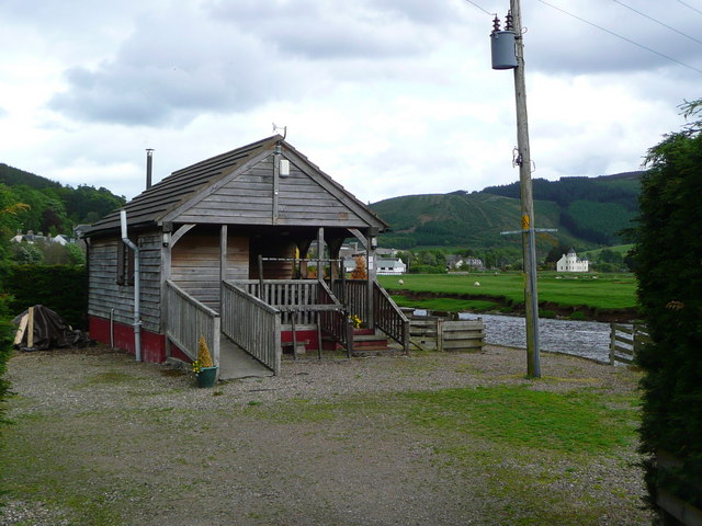
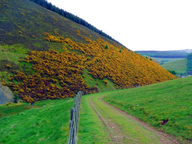
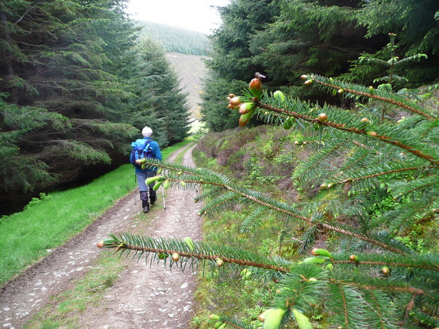
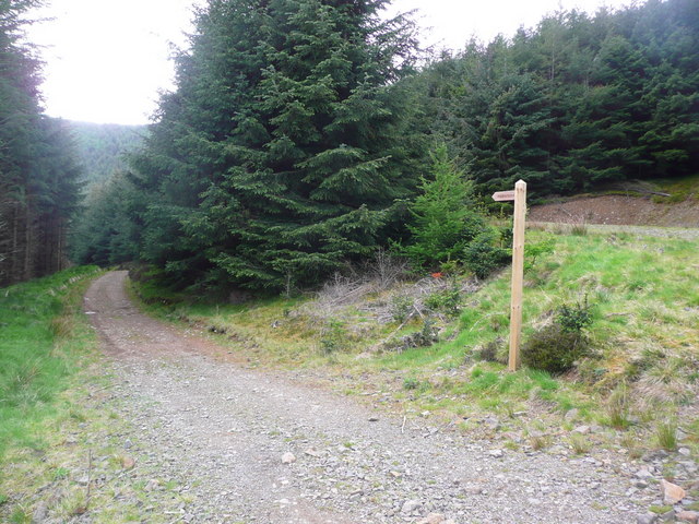
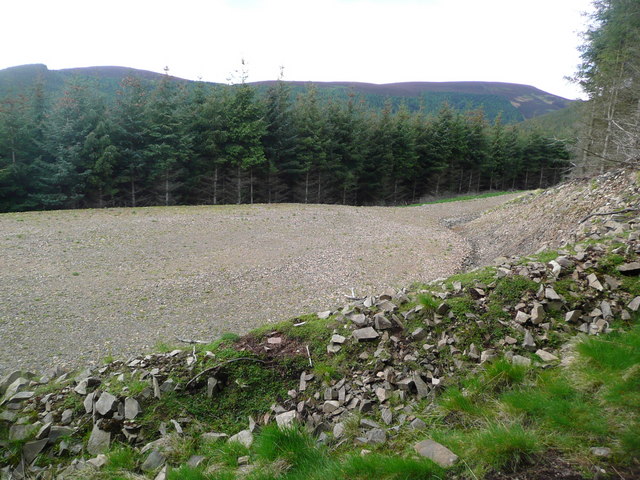
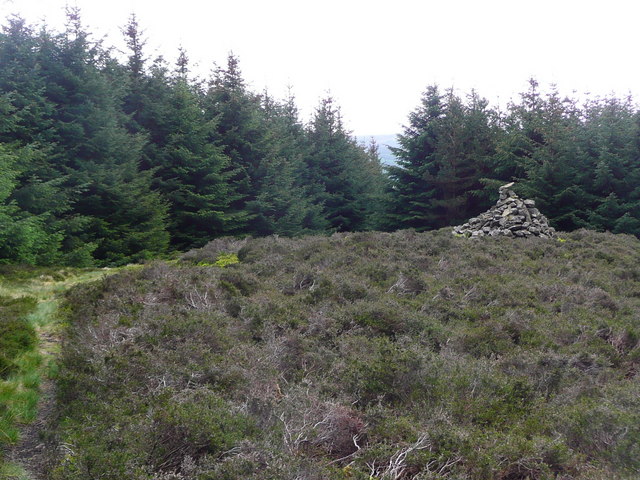
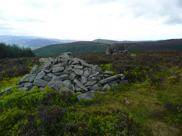
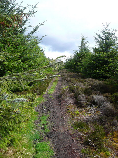
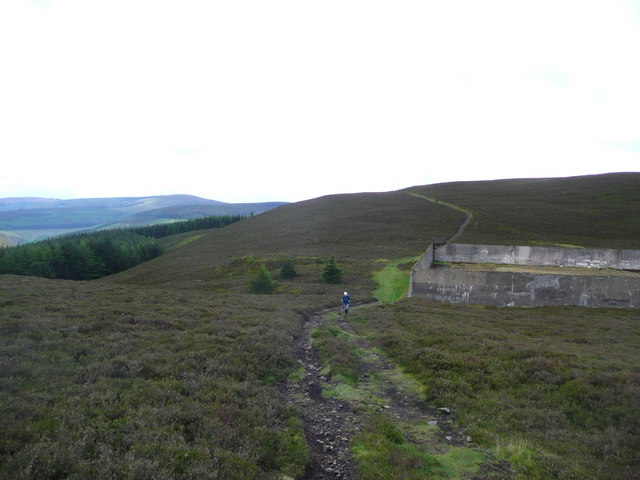
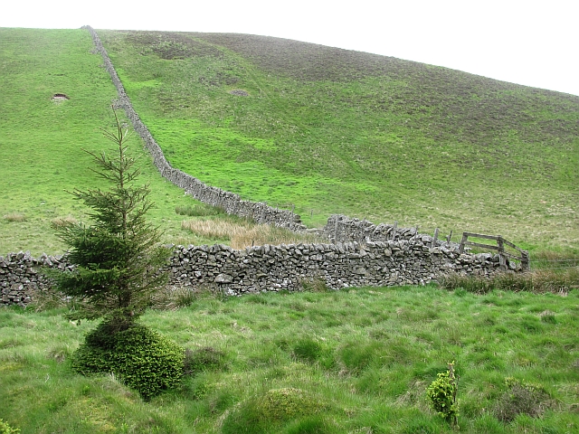
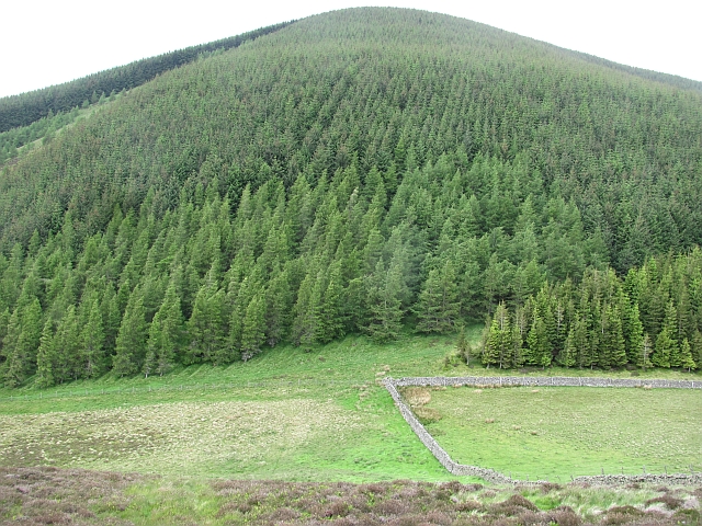
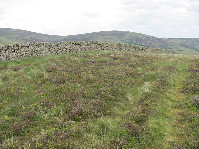
Pictarnie Pool Images

Images are sourced within 2km of 55.622243/-3.0211809 or Grid Reference NT3536. Thanks to Geograph Open Source API. All images are credited.

Caberston Coffee Shop, Walkerburn This coffee shop is located on the north side of the A72 in the village centre.
Caberston Coffee Shop, Walkerburn
This coffee shop is located on the north side of the A72 in the village centre.
The Tweed at Innerleithen The disused railway bridge (the Haugh-head Viaduct, opened 1866 by North British Rail) in the distance.
The Tweed at Innerleithen
The disused railway bridge (the Haugh-head Viaduct, opened 1866 by North British Rail) in the distance.
Gate by the Tweed at Innerleithen
The Cauld Hole on the Tweed at Walkerburn The 'Weir Pool' above the weir where fish stop to rest before continuing on up the river.
The Cauld Hole on the Tweed at Walkerburn
The 'Weir Pool' above the weir where fish stop to rest before continuing on up the river.
Superior fishing hut on the Tweed Fishing the Tweed for salmon can be expensive, and clients expect decent facilities.  This hut provides shelter and a seat when break time comes.  Note the rod support outside between the two sets of steps.
Superior fishing hut on the Tweed
Fishing the Tweed for salmon can be expensive, and clients expect decent facilities. This hut provides shelter and a seat when break time comes. Note the rod support outside between the two sets of steps.
Gorse in exuberant form above Walkerburn
Budding conifers on the Priesthope track Approaching Walkerburn
Budding conifers on the Priesthope track
Approaching Walkerburn
Walkers' signs at Priesthope To the left for Walkerburn, to the right for Innerleithen.
Walkers' signs at Priesthope
To the left for Walkerburn, to the right for Innerleithen.
Forest track development above Walkerburn A huge metalled turning area at the end of the forest track has been created here by extensive excavation.  The forest appears mature and this may signify imminent harvesting.
Forest track development above Walkerburn
A huge metalled turning area at the end of the forest track has been created here by extensive excavation. The forest appears mature and this may signify imminent harvesting.
The lower cairn on Cairn Hill
The summit cairn on Cairn Hill The building blocks in the background are all that remain of a radio mast base.
The summit cairn on Cairn Hill
The building blocks in the background are all that remain of a radio mast base.
The path to Kirnie Law
Looking down on the Kirnie Law Reservoir Started in 1919 and operational in 1922, this was Scotland's first pumped storage hydroelectric scheme.  Full details can be seen at <span class="nowrap"><a title="http://www.britishlistedbuildings.co.uk/sc-49126-kirnie-law-reservoir-and-surge-tower-inne" rel="nofollow ugc noopener" href="http://www.britishlistedbuildings.co.uk/sc-49126-kirnie-law-reservoir-and-surge-tower-inne">Link</a><img style="margin-left:2px;" alt="External link" title="External link - shift click to open in new window" src="https://s1.geograph.org.uk/img/external.png" width="10" height="10"/></span>

The large hole in one wall was created deliberately once the scheme became disused to prevent a build-up of water inside breaching the un-maintained walls and flooding the towns below.
Looking down on the Kirnie Law Reservoir
Started in 1919 and operational in 1922, this was Scotland's first pumped storage hydroelectric scheme. Full details can be seen at LinkExternal link The large hole in one wall was created deliberately once the scheme became disused to prevent a build-up of water inside breaching the un-maintained walls and flooding the towns below.
Early Knowe A small sharp hill above the River Tweed. The southern side is heather covered while a field has been cleared to the north.
Early Knowe
A small sharp hill above the River Tweed. The southern side is heather covered while a field has been cleared to the north.
Cairn Hill Plantations on Cairn Hill. View from the heather covered Early Knowe.
Cairn Hill
Plantations on Cairn Hill. View from the heather covered Early Knowe.
Summit, Early Knowe Moorland on the southern side, grassland over the dyke.
Summit, Early Knowe
Moorland on the southern side, grassland over the dyke.
A72 Walkerburn The A72 east of Walkerburn. View from Pyat Hill.
A72 Walkerburn
The A72 east of Walkerburn. View from Pyat Hill.
Forest road by the Bold Burn This meets the public minor road at Glenbenna. Cairn Hill is in the background.
Forest road by the Bold Burn
This meets the public minor road at Glenbenna. Cairn Hill is in the background.
Show me another place!

Pictarnie Pool is located at Grid Ref: NT3536 (Lat: 55.622243, Lng: -3.0211809)

Unitary Authority: The Scottish Borders

Police Authority: The Lothians and Scottish Borders

What 3 Words

///clarifies.votes.swan. Near Innerleithen, Scottish Borders

Related Wikis

Walkerburn railway station

Walkerburn railway station served the village of Walkerburn, Scottish Borders, Scotland from 1867 to 1962 on the Peebles Railway. == History == The station...

The Kirna

The Kirna, known locally as Kirna House (previously also as Grangehill), is a Category A listed villa in Walkerburn, Peeblesshire, Scotland. It is one...

Walkerburn

Walkerburn (Scottish Gaelic: Allt an Fhùcadair) is a small village in the Scottish Borders area of Scotland, on the A72 about 8 miles (13 km) from Peebles...

Innerleithen

Innerleithen (Scottish Gaelic: Inbhir Leitheann) is a civil parish and a small town in the committee area of Tweeddale, in the Scottish Borders. It was...

Robert Smail's Printing Works

Robert Smail's Printing Works is a fully functional Victorian era letterpress printing works in the small Scottish Borders town of Innerleithen, now preserved...

Innerleithen railway station

Innerleithen railway station served the town of Innerleithen, Scottish Borders, Scotland from 1864 to 1962 on the Peebles Railway. == History == The station...

Vale of Leithen F.C.

Vale of Leithen Football Club are a football club based in the town of Innerleithen, Scotland. They play in the East of Scotland League First Division...

Leithen Water

Leithen Water (Scottish Gaelic: Leitheann / Abhainn Leitheinn) is a tributary of the River Tweed in Scotland. It rises in the Moorfoot Hills and joins...

Nearby Amenities

Located within 500m of 55.622243,-3.0211809
Walkerburn
Place: village
Population: 700
Wikidata: Q981312
Wikipedia: en:Walkerburn
Lat/Long: 55.6235805/-3.0170207
Whitewater Description: put_in
Lat/Long: 55.6220902/-3.0159166
Post Office
Walkerburn Post Office
Addr Housenumber: 28
Addr Postcode: EH43 6AF
Addr Street: Galashiels Road
Brand: Post Office
Brand Wikidata: Q1783168
Check Date: 2023-09-27
Fhrs Id: 22982
Ref: EH43 45
Ref Pol Id: 2047
Source Addr: FHRS Open Data
Website: https://www.postoffice.co.uk/branch-finder/1238302/walkerburn
Lat/Long: 55.6235084/-3.0163777
Bus Stop
Purvis Hill Garage
Bench: no
Bin: no
Bus: yes
Naptan AtcoCode: 69001070
Naptan Bearing: E
Naptan CommonName: Garage
Naptan Indicator: opp
Naptan NaptanCode: 72726767
Naptan Street: Peebles Road
Operator: Scottish Borders Council
Public Transport: platform
Ref: 69001070
Shelter: no
Source: NaPTAN
Tactile Paving: no
Lat/Long: 55.6250653/-3.025852
Bus Stop
High Cottages
Bench: no
Bin: no
Bus: yes
Naptan AtcoCode: 69001071
Naptan Bearing: E
Naptan CommonName: High Cottages
Naptan Indicator: at
Naptan NaptanCode: 72726789
Naptan Street: Peebles Road
Operator: Scottish Borders Council
Public Transport: platform
Ref: 69001071
Shelter: no
Source: NaPTAN
Lat/Long: 55.6248234/-3.0223069
Bus Stop
Former Mill
Bus: yes
Naptan AtcoCode: 69001072
Naptan Bearing: W
Naptan CommonName: Former Mill
Naptan Indicator: o/s
Naptan NaptanCode: 72726769
Naptan Street: Galashiels Road
Operator: Scottish Borders Council
Public Transport: platform
Ref: 69001072
Source: NaPTAN
Lat/Long: 55.623648/-3.0190084
Bus Stop
Post Office
Bench: no
Bin: yes
Bus: yes
Naptan AtcoCode: 69001073
Naptan Bearing: E
Naptan CommonName: Post Office
Naptan Indicator: opp
Naptan NaptanCode: 72726768
Naptan Street: Galashiels Road
Operator: Scottish Borders Council
Public Transport: platform
Ref: 69001073
Shelter: no
Source: NaPTAN
Tactile Paving: yes
Lat/Long: 55.6236133/-3.0158054
Bus Stop
Purvis Hill Garage
Bench: no
Bus: yes
Naptan AtcoCode: 6900812
Naptan Bearing: W
Naptan CommonName: Garage
Naptan Indicator: near
Naptan NaptanCode: 72724549
Naptan Street: Peebles Road
Operator: Scottish Borders Council
Public Transport: platform
Ref: 6900812
Shelter: yes
Source: NaPTAN
Lat/Long: 55.6250043/-3.02657
Bus Stop
High Cottages
Bench: no
Bin: no
Bus: yes
Naptan AtcoCode: 6900813
Naptan Bearing: W
Naptan CommonName: High Cottages
Naptan Indicator: opp
Naptan NaptanCode: 72724546
Naptan Street: Peebles Road
Naptan Verified: no
Operator: Scottish Borders Council
Public Transport: platform
Ref: 6900813
Shelter: no
Source: NaPTAN
Lat/Long: 55.6248313/-3.0232028
Bus Stop
Former Mill
Bus: yes
Naptan AtcoCode: 6900815
Naptan Bearing: E
Naptan CommonName: Former Mill
Naptan Indicator: opp
Naptan NaptanCode: 72724529
Naptan Street: Peebles Road
Operator: Scottish Borders Council
Public Transport: platform
Ref: 6900815
Shelter: no
Source: NaPTAN
Lat/Long: 55.6237422/-3.0183313
Bus Stop
Post Office
Bench: no
Bin: yes
Bus: yes
Naptan AtcoCode: 6900817
Naptan Bearing: W
Naptan CommonName: Post Office
Naptan Indicator: at
Naptan NaptanCode: 72724524
Naptan Street: Galashiels Road
Operator: Scottish Borders Council
Public Transport: platform
Ref: 6900817
Shelter: no
Source: NaPTAN
Tactile Paving: yes
Lat/Long: 55.6235579/-3.0165651
Telephone
Booth: K6
Check Date: 2023-01-07
Covered: booth
Mapillary: 2236804886455559
Operator: BT
Phone: +44 1896 870215
Source: visual estimate
Lat/Long: 55.6237223/-3.019698
Post Box
Image: https://commons.wikimedia.org/wiki/File:Houses_on_Peebles_Road,_Walkerburn_-_geograph.org.uk_-_5475429.jpg
Mapillary: 142870011158116
Operator: Royal Mail
Operator Wikidata: Q638098
Post Box Mounting: building
Post Box Type: wall
Ref: EH44 44
Lat/Long: 55.6242208/-3.020254
Give Way
Direction: forward
Lat/Long: 55.6249889/-3.0268622
Bench
Backrest: yes
Colour: brown
Material: wood
Seats: 5
Lat/Long: 55.6193996/-3.0162437
Barrier: stile
Stile: stepover
Lat/Long: 55.6212878/-3.0184175
Barrier: stile
Stile: stepover
Lat/Long: 55.6215323/-3.0199228
Access: yes
Barrier: stile
Stile: stepover
Lat/Long: 55.6216692/-3.0168623
Power: pole
Lat/Long: 55.6213064/-3.0155645
Power: pole
Lat/Long: 55.6214464/-3.0143652
Barrier: swing_gate
Bicycle: yes
Foot: yes
Lat/Long: 55.6251794/-3.0164661
Barrier: swing_gate
Bicycle: yes
Foot: yes
Lat/Long: 55.6244054/-3.0186146
Toilets
Changing Table: no
Description: A category A listed cast iron urinal (c.1897) from the Saracen Foundry (Macfalane's) of Glasgow.
Historic: yes
Male: yes
Start Date: 1897
Wheelchair: no
Wikidata: Q17568117
Wikimedia Commons: File:Walkerburn,_Galashiels_Road,_Prefabricated_Cast_Iron_Urinal_5.jpg
Lat/Long: 55.6239709/-3.0196793
Cafe
Caberston Farm Coffee Shop
Lat/Long: 55.6241947/-3.0196817
Power: pole
Lat/Long: 55.6205599/-3.0217658
Power: pole
Lat/Long: 55.6205412/-3.0234168
Power: pole
Lat/Long: 55.6207359/-3.0204141
Power: pole
Lat/Long: 55.6210312/-3.017917
Generator Method: photovoltaic
Generator Output Electricity: yes
Generator Source: solar
Generator Type: solar_photovoltaic_panel
Power: generator
Lat/Long: 55.6226051/-3.015435
Generator Method: photovoltaic
Generator Output Electricity: yes
Generator Source: solar
Generator Type: solar_photovoltaic_panel
Power: generator
Lat/Long: 55.6248483/-3.0241742
Generator Method: photovoltaic
Generator Output Electricity: yes
Generator Source: solar
Generator Type: solar_photovoltaic_panel
Power: generator
Lat/Long: 55.6250094/-3.0216095
Generator Method: photovoltaic
Generator Output Electricity: yes
Generator Source: solar
Generator Type: solar_photovoltaic_panel
Power: generator
Lat/Long: 55.6250214/-3.0213211
Generator Method: photovoltaic
Generator Output Electricity: yes
Generator Source: solar
Generator Type: solar_photovoltaic_panel
Power: generator
Lat/Long: 55.6254956/-3.0230429
Power: pole
Lat/Long: 55.6211621/-3.0167985
Power: pole
Lat/Long: 55.6211437/-3.0169553
Give Way
Direction: forward
Lat/Long: 55.6240065/-3.0199649
Generator Method: photovoltaic
Generator Output Electricity: yes
Generator Source: solar
Generator Type: solar_photovoltaic_panel
Power: generator
Lat/Long: 55.6247868/-3.0248681
Give Way
Direction: forward
Lat/Long: 55.6250844/-3.0260442
Give Way
Direction: backward
Lat/Long: 55.6236299/-3.0171416
Power: pole
Lat/Long: 55.6208812/-3.0191851
Power: pole
Lat/Long: 55.6213061/-3.0203929
Power: pole
Lat/Long: 55.6217468/-3.0216113
Power: pole
Lat/Long: 55.6222293/-3.0229397
Power: pole
Lat/Long: 55.6223225/-3.0241539
Power: pole
Lat/Long: 55.6224169/-3.0253343
Power: pole
Lat/Long: 55.62251/-3.026631
Power: pole
Lat/Long: 55.6228397/-3.0266944
Power: pole
Lat/Long: 55.6235778/-3.0268383
Power: pole
Lat/Long: 55.6241881/-3.0274771
Bench
Colour: red
Lat/Long: 55.6223953/-3.0173956
Grit Bin
Lat/Long: 55.6235412/-3.017095
Walkerburn Convenience Stores
Brand: Premier
Brand Wikidata: Q7240340
Shop: convenience
Lat/Long: 55.6235137/-3.0163452
Recycling
Recycling Clothes: yes
Lat/Long: 55.6231093/-3.0206305
Home Basics
Operator: Home Basics
Phone: +44 1896 870 455
Second Hand: only
Shop: furniture
Website: https://www.homebasics.org.uk/
Lat/Long: 55.6227698/-3.0167385
The Wee Man
Historic: memorial
Wikidata: Q114169101
Wikimedia Commons: File:Wee_man_of_Walkerburn_War_Memorial.jpg
Lat/Long: 55.6238067/-3.0192591
Historic: memorial
Memorial: war_memorial
Wikidata: Q56617178
Wikimedia Commons: File:War_Memorial,_Galashiels_Road,_Walkerburn.jpg
Lat/Long: 55.6236114/-3.0156795
Give Way
Direction: forward
Lat/Long: 55.6234081/-3.0172044
Ballantynes of Walkerburn
Shop: trophy
Website: https://www.balwalk.com/
Lat/Long: 55.6225306/-3.01658
Defibrillator
Emergency: defibrillator
Indoor: no
Lat/Long: 55.6223956/-3.0173626
Board Type: history
Direction: 187
Information: board
Tourism: information
Lat/Long: 55.6223937/-3.0173438
The data included in this document is from www.openstreetmap.org. The data is made available under ODbL.

Have you been to Pictarnie Pool?

Leave your review of Pictarnie Pool below (or comments, questions and feedback).