Plora Wood

Wood, Forest in Selkirkshire

Scotland

Plora Wood

Caberston Coffee Shop, Walkerburn This coffee shop is located on the north side of the A72 in the village centre.
Caberston Coffee Shop, Walkerburn Credit: Walter Baxter

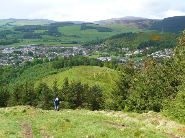
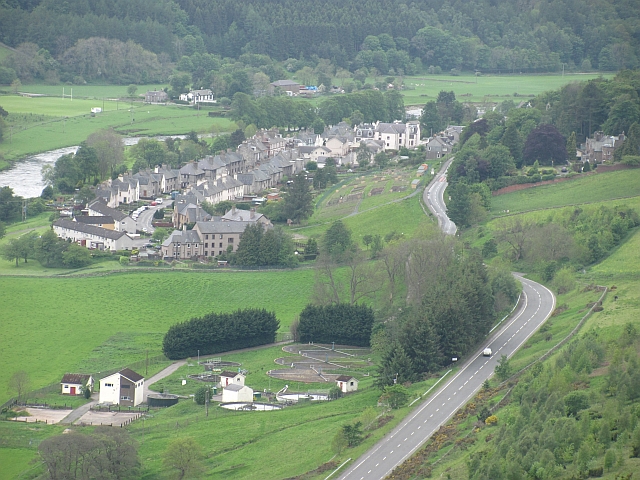
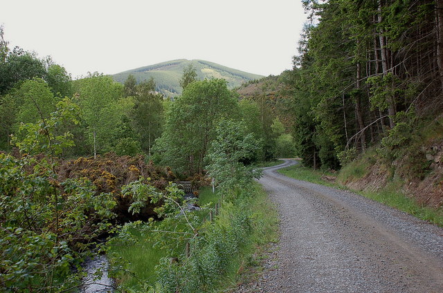
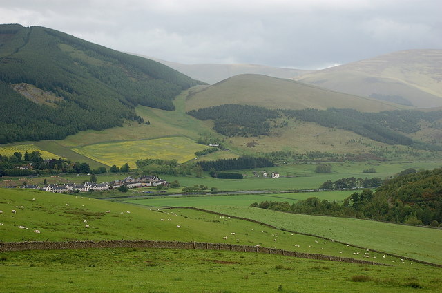
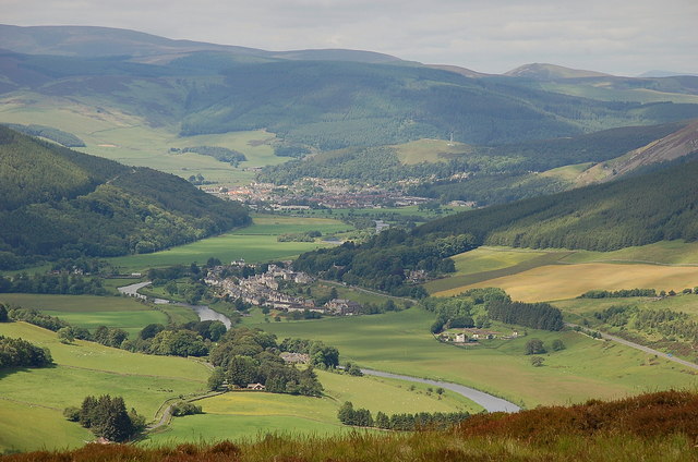
Plora Wood is a picturesque forest located in the region of Selkirkshire, Scotland. Covering an area of approximately 500 acres, this enchanting woodland is renowned for its natural beauty and diverse flora and fauna. Nestled amidst the rolling hills and valleys of the Scottish Borders, Plora Wood offers a tranquil escape from the bustling city life.

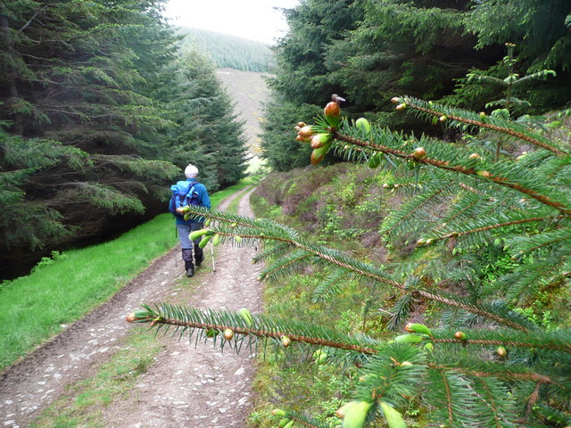
The forest is primarily composed of native broadleaf trees, including oak, birch, and beech, which create a vibrant and lush canopy overhead. These trees provide a habitat for numerous bird species, such as the great spotted woodpecker and the tawny owl, making it a haven for birdwatchers and nature enthusiasts. Additionally, Plora Wood is home to a variety of mammals, including red squirrels, badgers, and roe deer, which can often be spotted roaming through the undergrowth.

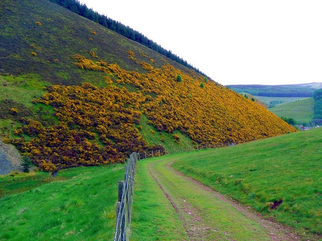
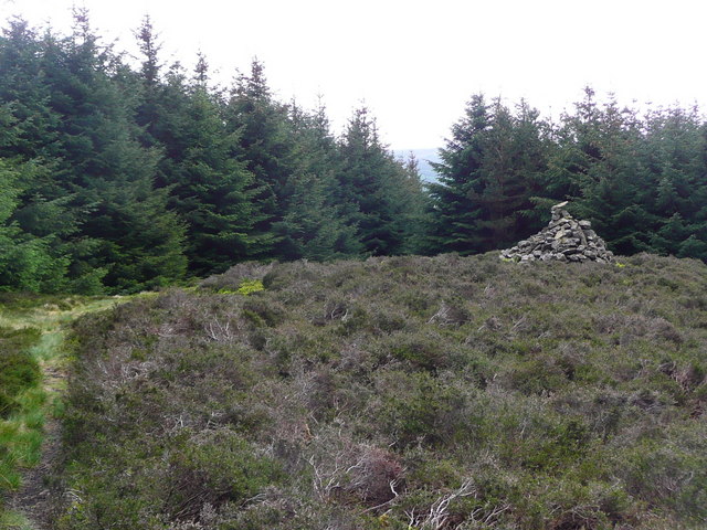
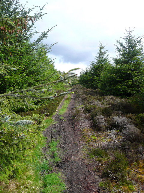
The wood boasts a network of well-maintained walking trails that wind through its verdant landscape. These paths offer visitors an opportunity to explore the forest at their own pace, immersing themselves in the sights and sounds of nature. Along the way, informative signposts provide details about the different tree species and wildlife that inhabit the area, enhancing the educational experience for visitors of all ages.

Plora Wood is a popular destination for outdoor activities, such as hiking, cycling, and picnicking. Its idyllic setting and peaceful atmosphere make it an ideal location for families, couples, and individuals seeking solace in nature. Whether it's a leisurely stroll or an adventure-filled day out, Plora Wood offers something for everyone to enjoy.

If you have any feedback on the listing, please let us know in the comments section below.
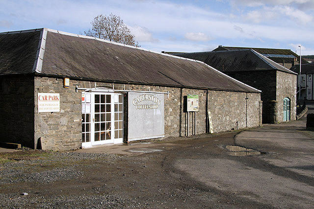
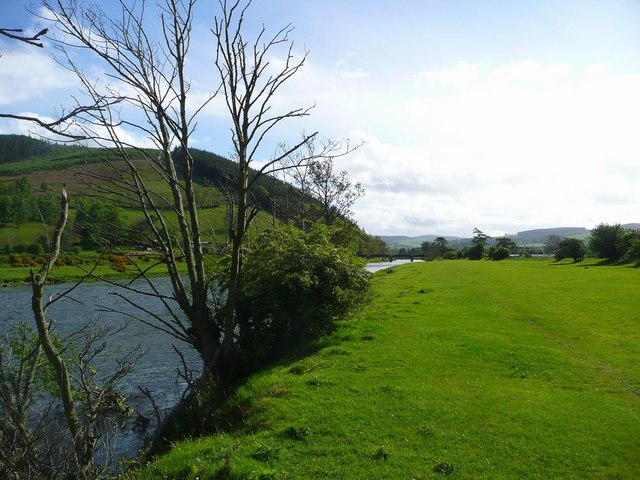
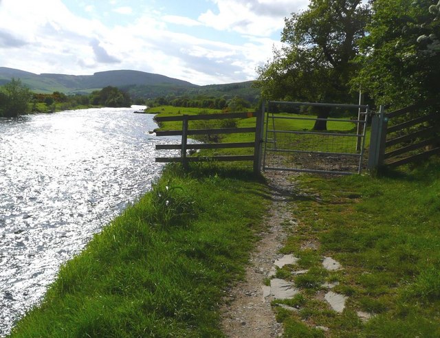
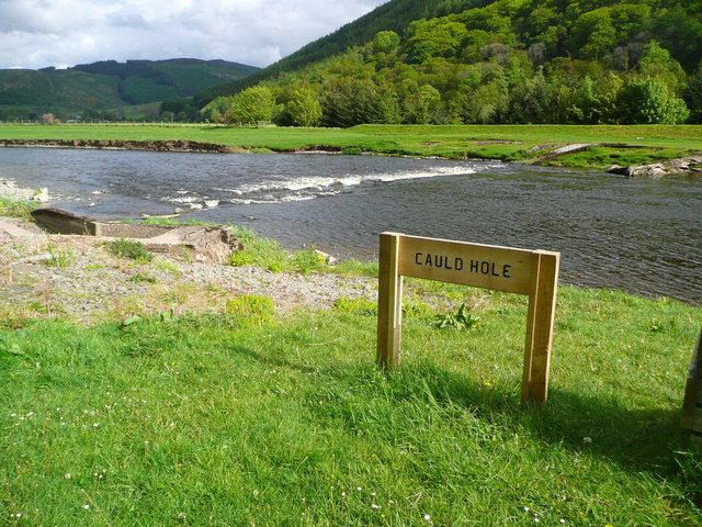
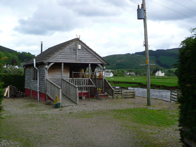
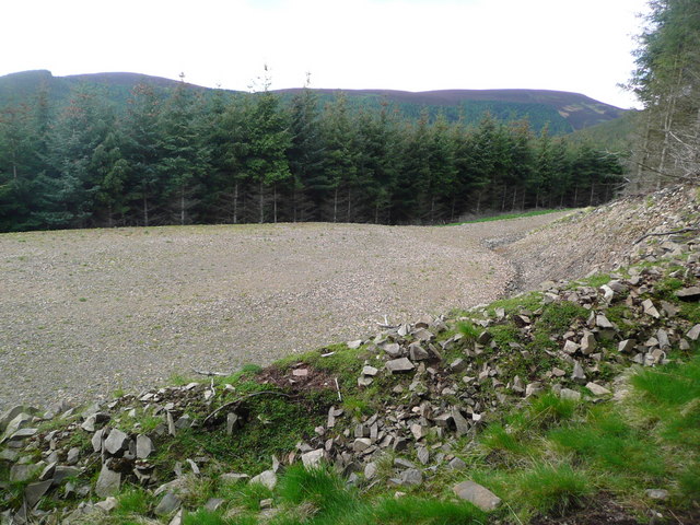
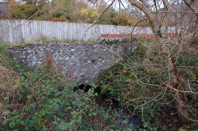
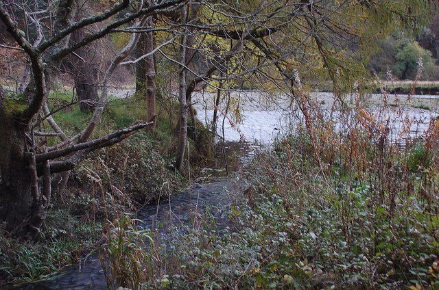
Plora Wood Images

Images are sourced within 2km of 55.619594/-3.0284321 or Grid Reference NT3536. Thanks to Geograph Open Source API. All images are credited.

Caberston Coffee Shop, Walkerburn This coffee shop is located on the north side of the A72 in the village centre.
Caberston Coffee Shop, Walkerburn
This coffee shop is located on the north side of the A72 in the village centre.
The Tweed at Innerleithen The disused railway bridge (the Haugh-head Viaduct, opened 1866 by North British Rail) in the distance.
The Tweed at Innerleithen
The disused railway bridge (the Haugh-head Viaduct, opened 1866 by North British Rail) in the distance.
Gate by the Tweed at Innerleithen
The Cauld Hole on the Tweed at Walkerburn The 'Weir Pool' above the weir where fish stop to rest before continuing on up the river.
The Cauld Hole on the Tweed at Walkerburn
The 'Weir Pool' above the weir where fish stop to rest before continuing on up the river.
Superior fishing hut on the Tweed Fishing the Tweed for salmon can be expensive, and clients expect decent facilities.  This hut provides shelter and a seat when break time comes.  Note the rod support outside between the two sets of steps.
Superior fishing hut on the Tweed
Fishing the Tweed for salmon can be expensive, and clients expect decent facilities. This hut provides shelter and a seat when break time comes. Note the rod support outside between the two sets of steps.
Gorse in exuberant form above Walkerburn
Budding conifers on the Priesthope track Approaching Walkerburn
Budding conifers on the Priesthope track
Approaching Walkerburn
Forest track development above Walkerburn A huge metalled turning area at the end of the forest track has been created here by extensive excavation.  The forest appears mature and this may signify imminent harvesting.
Forest track development above Walkerburn
A huge metalled turning area at the end of the forest track has been created here by extensive excavation. The forest appears mature and this may signify imminent harvesting.
The lower cairn on Cairn Hill
The path to Kirnie Law
Looking back on Pirn Hill and its viewpoint The seven stone plinths at the viewpoint above Innerleithen can be clarly seen.
Looking back on Pirn Hill and its viewpoint
The seven stone plinths at the viewpoint above Innerleithen can be clarly seen.
A72 Walkerburn The A72 east of Walkerburn. View from Pyat Hill.
A72 Walkerburn
The A72 east of Walkerburn. View from Pyat Hill.
Forest road by the Bold Burn This meets the public minor road at Glenbenna. Cairn Hill is in the background.
Forest road by the Bold Burn
This meets the public minor road at Glenbenna. Cairn Hill is in the background.
Walkerburn and the Tweed from Bold Rig The east end of Walkerburn is in view with Cairn Hill and Early Knowe (R) beyond.
Walkerburn and the Tweed from Bold Rig
The east end of Walkerburn is in view with Cairn Hill and Early Knowe (R) beyond.
Millstone at West Bold An old millstone now used as the farm sign, West Bold.
Millstone at West Bold
An old millstone now used as the farm sign, West Bold.
The Tweed Valley from Southerly Nick Walkerburn (centre) with Innerleithen beyond in this view from the ridge just NW of Thornielee Forest.
The Tweed Valley from Southerly Nick
Walkerburn (centre) with Innerleithen beyond in this view from the ridge just NW of Thornielee Forest.
Mill lade near Tweedbank farm The last waterwheel on the length of the mill lade was at Tweedbank farm, to power threshing machinery. The lade runs behind the Scott Motors premises, formerly Hogg Robertson's smithy, then past the site of Stewart's sawmill and Leithen Mill, now replaced by housing. In a few hundred metres it reaches the Tweed, close by the parent stream of the Leithen Water.
Mill lade near Tweedbank farm
The last waterwheel on the length of the mill lade was at Tweedbank farm, to power threshing machinery. The lade runs behind the Scott Motors premises, formerly Hogg Robertson's smithy, then past the site of Stewart's sawmill and Leithen Mill, now replaced by housing. In a few hundred metres it reaches the Tweed, close by the parent stream of the Leithen Water.
The mill lade enters the Tweed below Innerleithen The end of the journey for the waters that have been channelled from the weir on the Leithen Water (see <a href="https://www.geograph.org.uk/photo/2678048">NT3338 : Intake for the mill lade or dam</a> ) in a mill lade dating from 1788 and 1846.
The mill lade enters the Tweed below Innerleithen
The end of the journey for the waters that have been channelled from the weir on the Leithen Water (see NT3338 : Intake for the mill lade or dam ) in a mill lade dating from 1788 and 1846.
Show me another place!

Plora Wood is located at Grid Ref: NT3536 (Lat: 55.619594, Lng: -3.0284321)

Unitary Authority: The Scottish Borders

Police Authority: The Lothians and Scottish Borders

What 3 Words

///legroom.fines.flip. Near Innerleithen, Scottish Borders

Related Wikis

Walkerburn railway station

Walkerburn railway station served the village of Walkerburn, Scottish Borders, Scotland from 1867 to 1962 on the Peebles Railway. == History == The station...

The Kirna

The Kirna, known locally as Kirna House (previously also as Grangehill), is a Category A listed villa in Walkerburn, Peeblesshire, Scotland. It is one...

Walkerburn

Walkerburn (Scottish Gaelic: Allt an Fhùcadair) is a small village in the Scottish Borders area of Scotland, on the A72 about 8 miles (13 km) from Peebles...

Innerleithen

Innerleithen (Scottish Gaelic: Inbhir Leitheann) is a civil parish and a small town in the committee area of Tweeddale, in the Scottish Borders. It was...

Robert Smail's Printing Works

Robert Smail's Printing Works is a fully functional Victorian era letterpress printing works in the small Scottish Borders town of Innerleithen, now preserved...

Innerleithen railway station

Innerleithen railway station served the town of Innerleithen, Scottish Borders, Scotland from 1864 to 1962 on the Peebles Railway. == History == The station...

Vale of Leithen F.C.

Vale of Leithen Football Club are a football club based in the town of Innerleithen, Scotland. They play in the East of Scotland League First Division...

Leithen Water

Leithen Water (Scottish Gaelic: Leitheann / Abhainn Leitheinn) is a tributary of the River Tweed in Scotland. It rises in the Moorfoot Hills and joins...

Nearby Amenities

Located within 500m of 55.619594,-3.0284321
Plora Wood
Place: locality
Lat/Long: 55.6195494/-3.0311196
Power: pole
Lat/Long: 55.6205599/-3.0217658
Power: pole
Lat/Long: 55.6205412/-3.0234168
Power: pole
Lat/Long: 55.6203812/-3.0288784
Power: pole
Lat/Long: 55.6217468/-3.0216113
Power: pole
Lat/Long: 55.6222293/-3.0229397
Power: pole
Lat/Long: 55.6223225/-3.0241539
Power: pole
Lat/Long: 55.6224169/-3.0253343
Power: pole
Lat/Long: 55.62251/-3.026631
Power: pole
Lat/Long: 55.6228397/-3.0266944
Power: pole
Lat/Long: 55.6235778/-3.0268383
The data included in this document is from www.openstreetmap.org. The data is made available under ODbL.

Have you been to Plora Wood?

Leave your review of Plora Wood below (or comments, questions and feedback).