Goose Loch
Lake, Pool, Pond, Freshwater Marsh in Selkirkshire
Scotland
Goose Loch
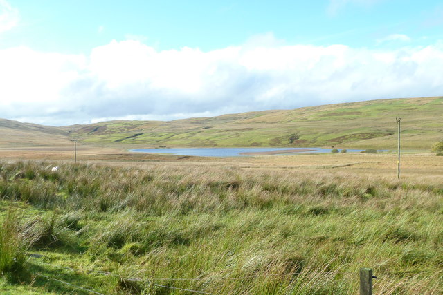
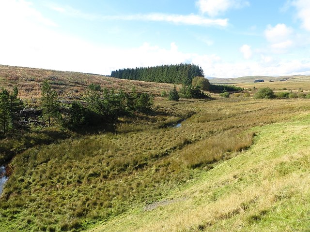
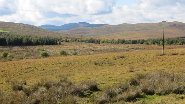
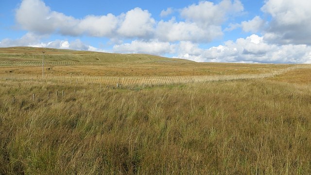
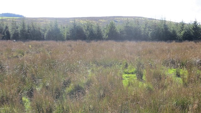
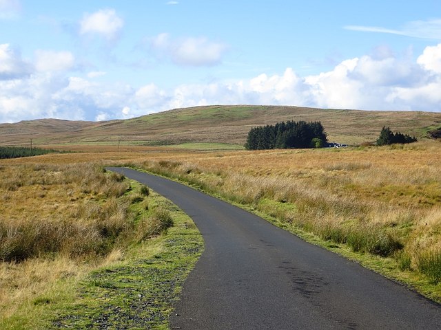
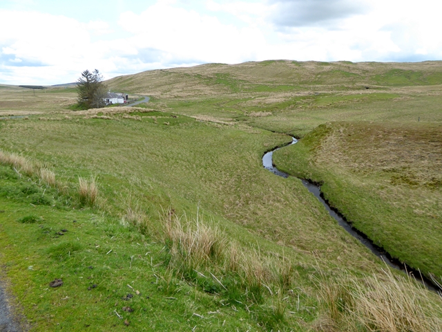
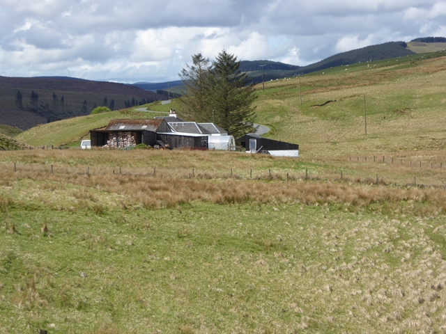
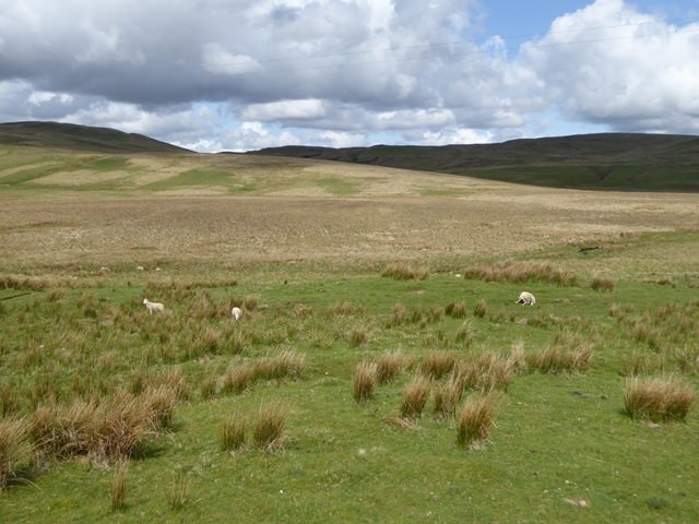
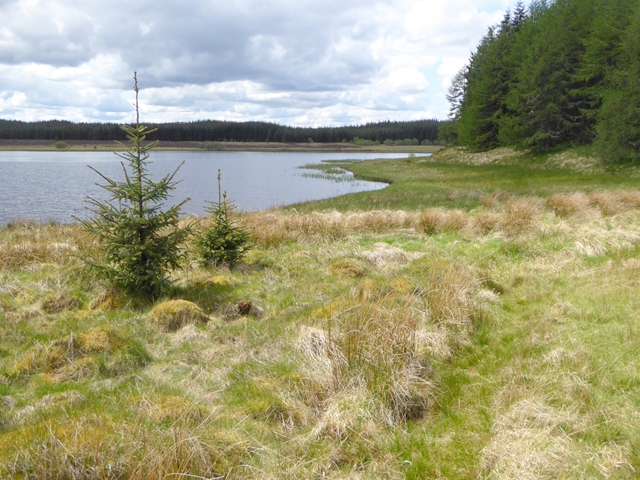
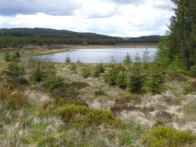
Goose Loch is a picturesque freshwater loch located in the county of Selkirkshire, Scotland. Situated in the southern part of the county, it is nestled amidst the stunning natural beauty of the Scottish Borders. The loch covers an area of approximately 30 acres and is surrounded by rolling hills and lush greenery.
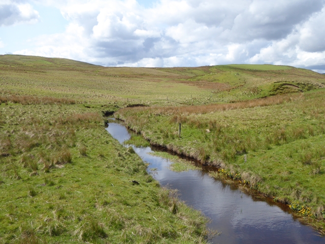
The water in Goose Loch is sourced primarily from rainfall and natural springs, resulting in a clean and pristine environment. It is known for its crystal-clear waters, which support a diverse range of aquatic plants and wildlife. The loch is home to various species of fish, including brown trout and perch, making it a popular spot for fishing enthusiasts.
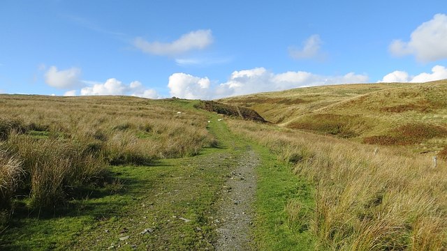
Surrounding the loch is a mix of wetland vegetation and marshy areas, providing a habitat for numerous bird species. Birdwatchers flock to the area to catch a glimpse of the resident and migratory birds, such as swans, ducks, and herons. The tranquil setting of the loch also attracts other wildlife, including otters and water voles.
Goose Loch offers a peaceful retreat for nature lovers and outdoor enthusiasts. Visitors can enjoy a leisurely stroll around the loch, taking in the breathtaking scenery and listening to the soothing sounds of nature. The loch also offers opportunities for boating and canoeing, allowing visitors to explore its serene waters.
Overall, Goose Loch is a hidden gem in Selkirkshire, offering a haven of natural beauty and tranquility. Its diverse ecosystem and stunning surroundings make it a must-visit destination for those seeking a connection with nature.
If you have any feedback on the listing, please let us know in the comments section below.
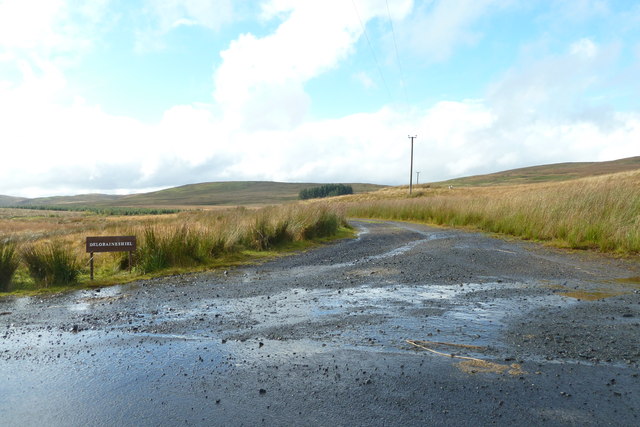
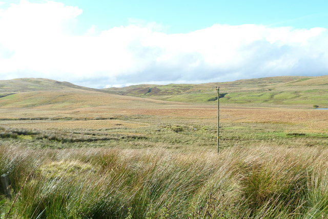
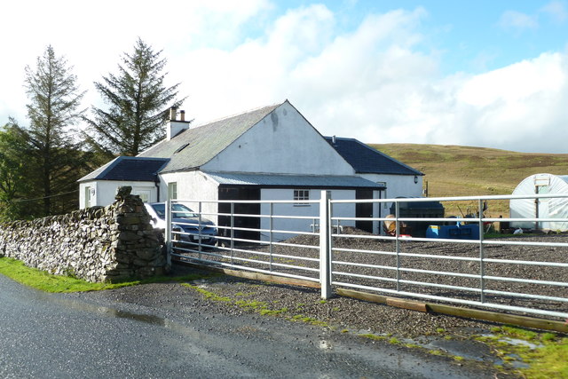
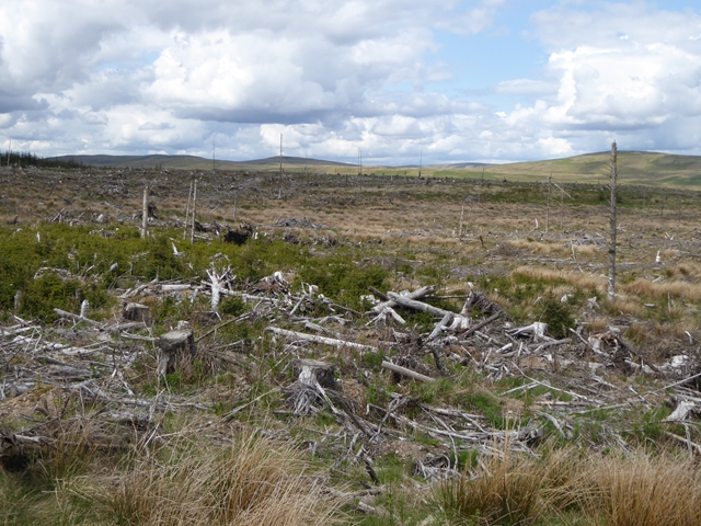
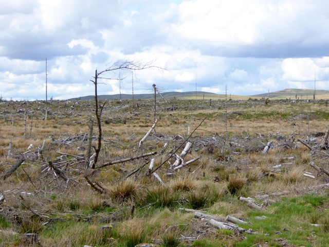
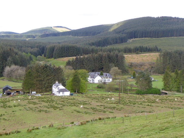
Goose Loch Images
Images are sourced within 2km of 55.41764/-3.0268578 or Grid Reference NT3514. Thanks to Geograph Open Source API. All images are credited.
Goose Loch is located at Grid Ref: NT3514 (Lat: 55.41764, Lng: -3.0268578)
Unitary Authority: The Scottish Borders
Police Authority: The Lothians and Scottish Borders
What 3 Words
///shampoos.pining.tidying. Near Ettrick, Scottish Borders
Nearby Locations
Related Wikis
Buccleuch, Scottish Borders
East and West Buccleuch ( bə-KLOO) are two homesteads in the Scottish Borders, in the Ettrick parish of historic Selkirkshire. They are located off the...

Craik Forest
Craik Forest is a forest near Hawick in the Scottish Borders area of Scotland, and managed by the Forestry Commission. It is adjoined to the south-west...

Alemoor Loch
Alemoor Loch, also known as Alemoor Reservoir, is a small reservoir in the Scottish Borders area of Scotland. It is situated on the Ale Water, 10 kilometres...

Tushielaw Tower
Tushielaw Tower is a 16th-century tower house, about 2.5 miles (4.0 km) north and east of Ettrick, Scottish Borders, Scotland, and west of Ettrick Water...

Craik, Scottish Borders
Craik is a hamlet in Craik Forest, by the Airhouse Burn in the Scottish Borders area of Scotland, close to Roberton, Scottish Borders (grid reference NT348084...

Burnfoot, Roberton
Burnfoot (Scottish Gaelic: Bun na h-Aibhne) is a hamlet in the Scottish Borders area of Scotland, close to Roberton, by the Borthwick Water. The nearest...

Roberton, Scottish Borders
Roberton is a small village in the Scottish Borders area of Scotland, on the B711 and near to the A7, 5 miles (8 kilometres) from Hawick, 22 mi (35 km...
Falnash
Falnash (Scots: Fawenesh) is a village in the Scottish Borders of Scotland. It is near Teviothead, in the former Roxburghshire, and in the parish of Teviothead...
Have you been to Goose Loch?
Leave your review of Goose Loch below (or comments, questions and feedback).